
South & Middle Moat to Red Ridge Trail
Moats trip report
The trip report
Written by baezfred
Trip report for South and Middle Moat
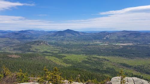
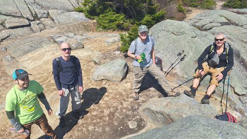
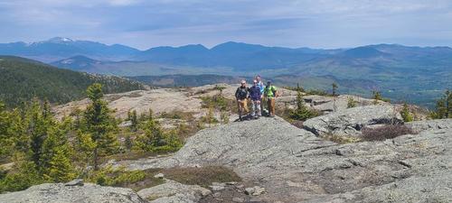
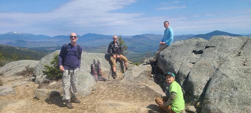
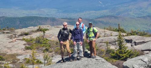
We woke up, got out of bed, got dressed (as mandated by law before leaving the house), got breakfast at Yaya's (Saturday was my egg sandwich day), picked up Bob at the Diana's Bath parking lot and then met everyone, except for a no-show (who is going on my naughty list, and I do keep one). We were warned by a fellow hiker that there was a bear roaming around. It is essential for a hiker to come well prepared with plenty of food, water, bear spray and someone who runs much slower. We reached a difficult water crossing and finally managed to get to the other side by using the bridge. The trails were clear and beautiful, canopied by the different hues of bright green. We reached South Moat where Bobcat shared a delicious potpourri of gummy bears and gumdrops. We continued our journey and reached the Middle Moat, where we climbed a rock and enjoyed our lunch. I felt rebellious that day and instead of my usual yogurt, I had Little Debbie's Donut Sticks for dessert. I highly recommend those. Mo and I started our descent back to the trailhead, while the rest of the group continued on to the North Moat. The return was a little more difficult. There were bugs, our confidential conversation was exposed. A portion of the trail was comprised of boulders and large rocks and took a while to descend as we left no stones unturned. We made it back in one piece and headed home. Thank you to Bob, John and Alexander for coming. It is always a joy hiking with you!
Event photos (5)
Reactions
Log in to react to this trip report.
About this event
We will hike the South Moat and Middle Moat to the Red Ridge trail junction. This is an out and back hike with total round trip distance of 8.4 miles and elevation gain of 2,650 feet.
The Moat ridge is a long north-south running ridge, with many peaks along the crest. The three most significant peaks on the main ridge are North, Middle, and South Moat Mountain - all crossed by the Moat Mountain Trail. These three peaks have open rocky summits with spectacular 360-degree panoramas – among the best in the region. To the west, you look out over the Sandwich Range and the valley of the Kancamagus Highway. To the northwest, over the rest of the Moat Range, you look into the center of the White Mountains.
Estimated Elevation Gain: 2,650 feet
Estimated Round Trip Distance: 8.4 miles
Estimated Duration (with lunch): 6.5 hours
Hiking Essentials: See the following link for recommendations from GayOutdoors:
https://www.gayoutdoors.org/page.cfm?typeofsite=storydetail&id=992&storyset=yes



Comments
We are going to stay with the original out & back hike. Trail conditions are currently much better hiking from the south side. Also we have car spotting / timing issues with doggies in daycare.
Log in to join the conversation.