
The trip report
Written by Carl
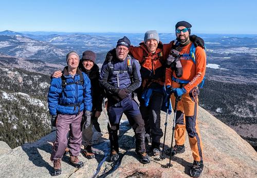
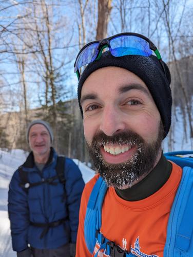
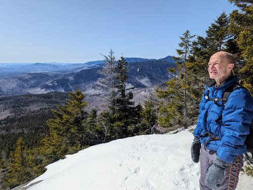
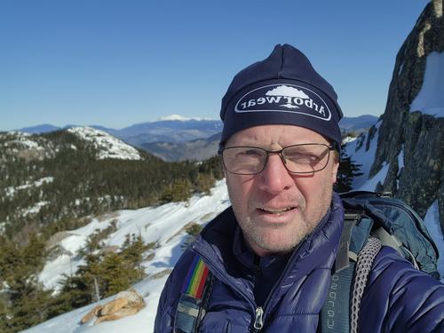
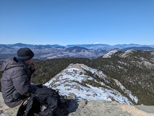
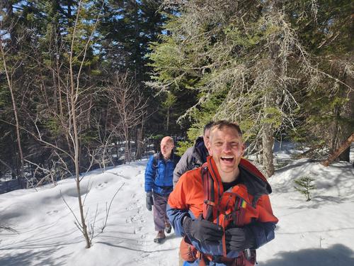
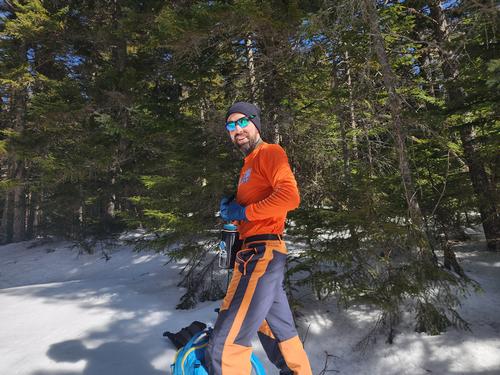
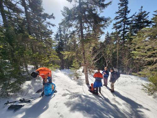
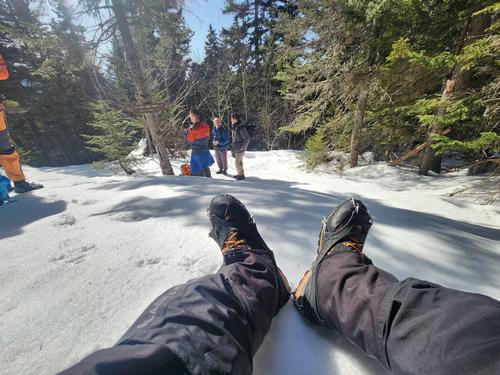
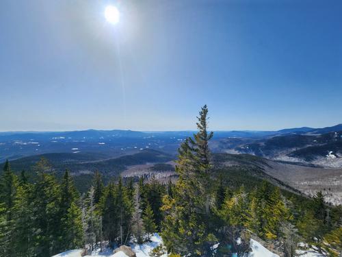
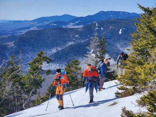
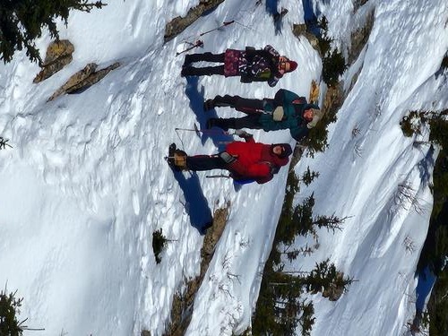
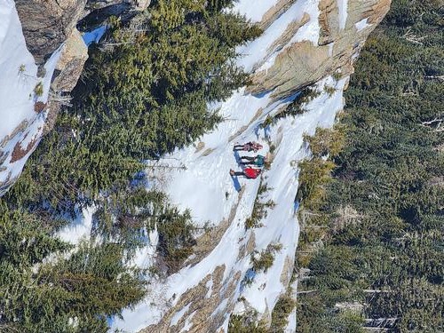
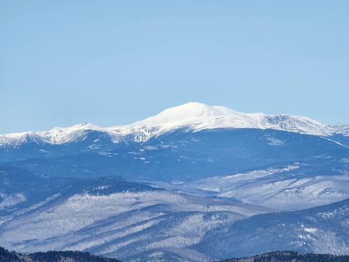
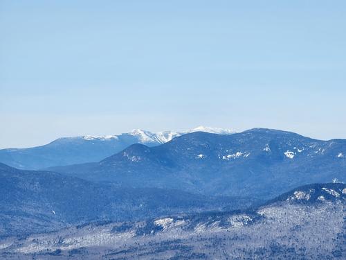
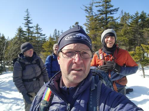
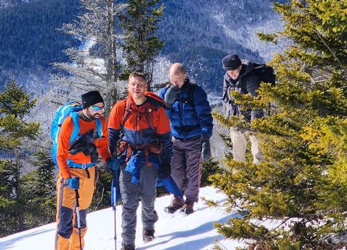
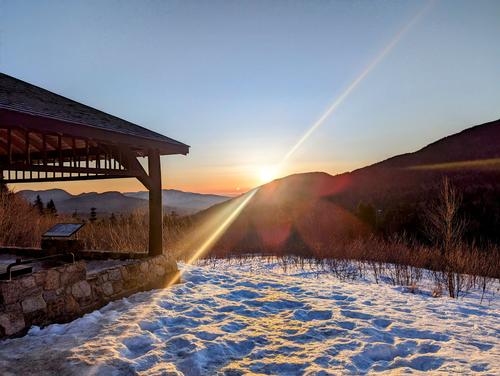
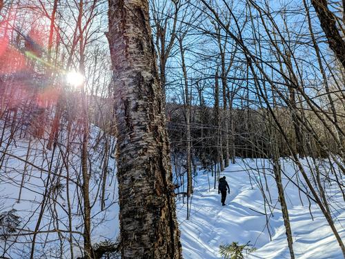
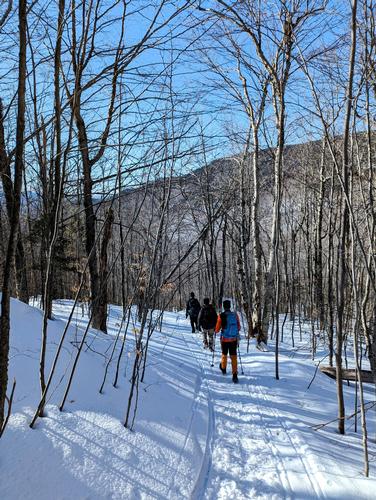
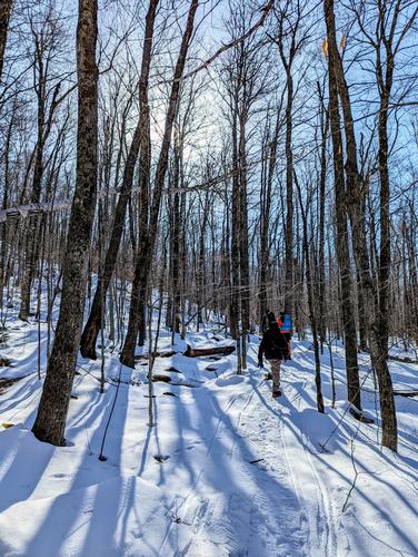
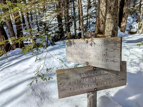
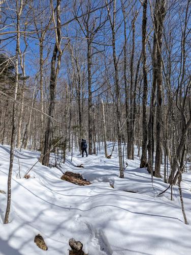
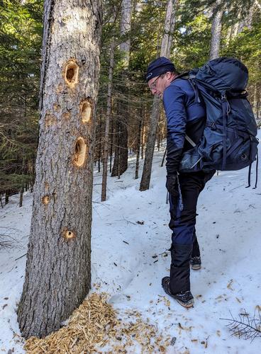
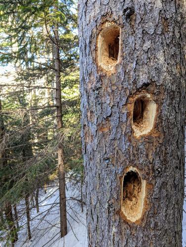
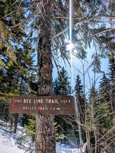
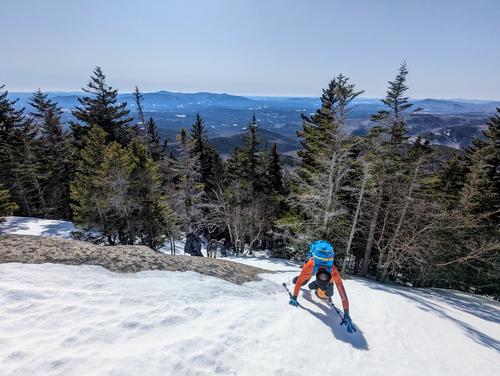
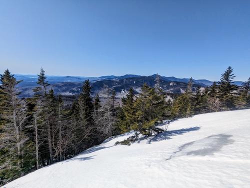
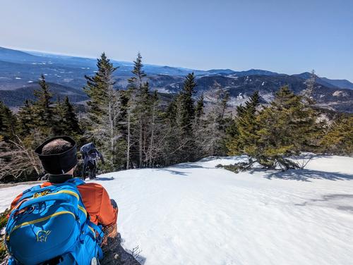
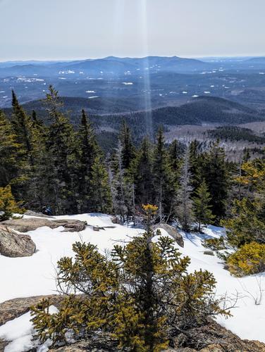
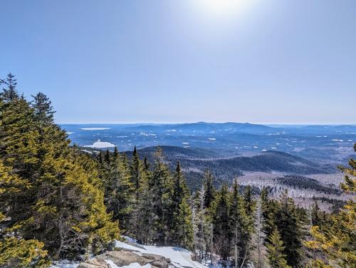
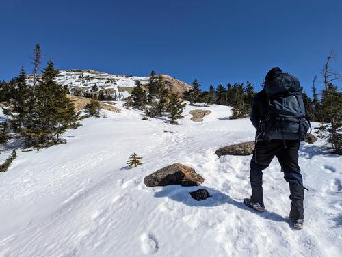
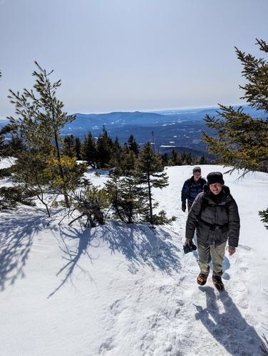
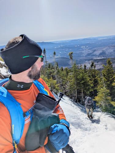
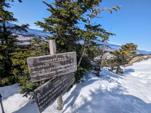
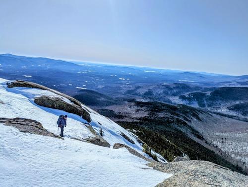
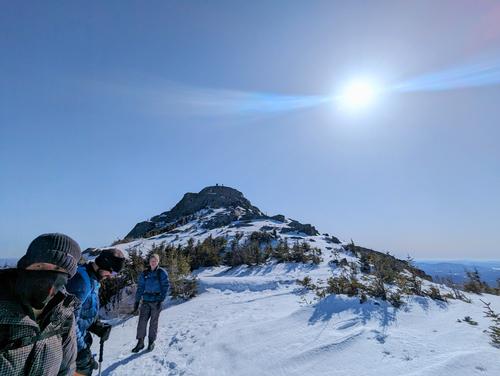
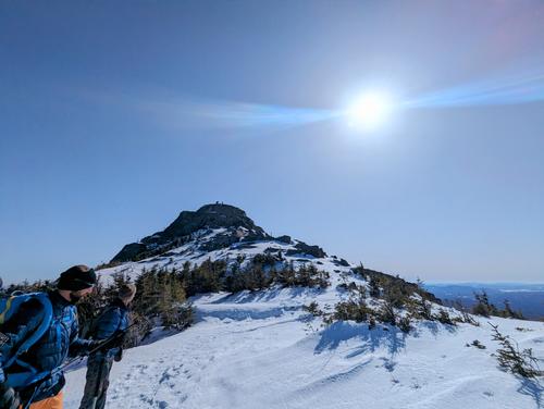
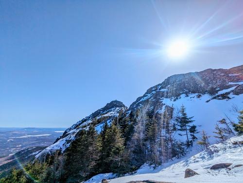
JT led an epic 10-mile, 7-hour winter hike up Chocorua today. The five of us met promptly at the Champney Falls trailhead, off the Kanc highway, at 8 am. The temperature was a balmy 6 degrees, but the sun was warm and the air was (thankfully) breezeless. We followed the Bolles Trail for about four miles. The trail was well-packed and easy to follow. After making a sharp left onto Bee Line Trail, we came across looser snow as we began to ascend. Breaking trail and succumbing to the occasional posthole slowed our pace a little, but spirited conversation moved us forward with ease. Eventually, we merged with a snowmobile-packed section of trail and picked our pace up again. As we climbed, we saw tracks of rabbits, moose, and bobcats. We even came across a tree with several large holes drilled out dramatically by a woodpecker hunting ants. The grade became steeper and icy in spots, and the group banded together to help as needed. The summit of Chocorua did not disappoint. We had clear views of the Ossipee caldera, Carrigain, Hancock, Passaconaway, and, of course, Washington, among others. After a quick bite, we started our descent and caught up with Bobcat and his husband John on their way down, partly on foot and partly on sled. :) We arrived back at the parking lot at 3 pm, a little sore but grateful for the experience. Thank you so much, JT, for a fantastic day!
Signed,
The Real Housewives of the Whites
Event photos (39)
Reactions
Log in to react to this trip report.
About this event
Mount Chocorua: elevation (highest point) 3478 ft, distance to highest is 5.8 miles, total trip distance approx. 9.7 miles.
This trip is considered STRENUOUS. Please note that this hike will have a steady/quick pace with steep grades and open ledges. Winter conditions are possible. Micro-spikes are required, and snowshoes should be considered. This trail has remote/limited access.
Don’t be fooled! This hike will start at an elevation of 1262ft following the Champney Falls Trail 0.1 miles to the Bolles Trail. A steady climb of 1.9 miles to an elevation of 2269 ft before a downward climb to 1300ft (almost equal to the starting elevation) at 3.7 miles. At this point, the climb turns up the Bee Line Trail for a straight steady climb up to the summit of Mount Chocorua at an elevation of 3478 ft at 5.8 miles. This summit is completely exposed with no protection from harsh weather. A hike-around option is available if the summit is dangerous. Leaving the summit and following the ridge to Middle sister at 3353 ft and 6.8 miles. The descent follows the Champney Falls cut-off to Champney Falls Trail and returns to the point of origin.
The group will meet at the Champney Falls / Bolles trailhead at 8 am and depart at 8:20 am
The parking lot is located on the Kancamagus Highway (aka Route 112). Distance from Interstate 93 is 24.7 miles, and from Route 16 Conway is 10.5 miles. Arrive early, a very popular trail for hikers and ice climbers, and parking is difficult/limited in the winter.
PREPARATION/WHAT TO BRING: The mountains can have unpredictable and extreme weather changes year-round. It is recommended that hikers have extra dry clothing and wind protection. Always have water and food. If you need suggestions on what to bring, PLEASE ASK!! This summit is completely exposed with no options for cover from harsh weather.
For this trip, it is important to bring along flexibility, patience, and a sense of humor.
Group Size It is not fun leaving folks out.
- If you cannot attend, PLEASE cancel so others may join.
- If you are on the waiting list, please contact me days prior to the trip, most likely there will be room and if needed this trail will allow us to break the group into two smaller groups.
- Please do NOT bring any dogs on this hike.
Decreasing the impact on the environment is always a priority! Please plan to “carry in and carry out” all items. It may also be possible to collect other hikers’ debris along the way.
Weather: If the weather is a concern any updates or cancellation information will be posted by the Thursday prior to 6 pm. If there is a cancellation, it will include a “possible” rescheduled date so participants can watch for that opportunity.
Safety is a priority! Any time a hiker is injured or lost a HUGE team of volunteers is dispatched to aid in the search and rescue efforts. No one wants to be injured or put others in harm’s way. Always be prepared. Know your limits. If you have any questions, feel free to contact the hike leaders.
Who came along (5)
 GUEST MEMBER
  SUSTAINING
  GUEST MEMBER
  GUEST MEMBER
  GUEST MEMBER
Comments
I live in a quiet place in the woods. Let me know. Marc
Log in to join the conversation.