
The trip report
Written by Bobcat
We decided to switch the hike from Mt. Washington to Mt. Garfield because of the risk of thunderstorms. (Thanks Rob for suggesting this!)
We met at 8AM at the trailhead. The morning was foggy & humid. We were fortunate to have no rain or showers during the hike. The trail was wet due to the recent rains but there were no major stream crossings so we were able to reach the summit easily in about 2.5 hours.
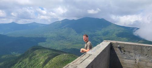
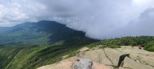
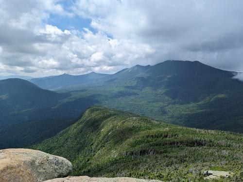
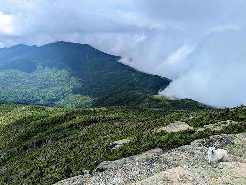
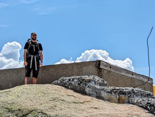
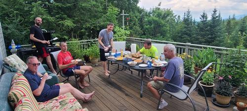
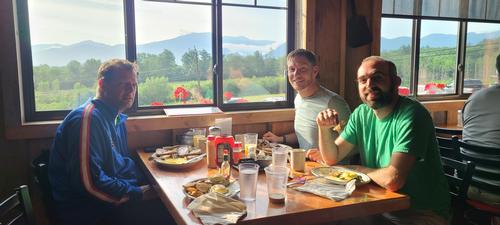
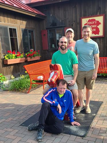
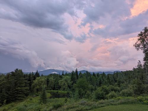
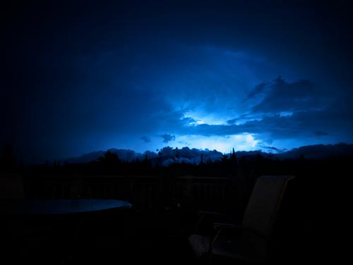
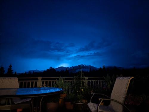
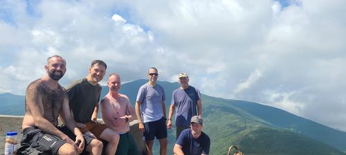
The summit was sunny and warm with light breezes and beautiful views of the surrounding mountains. We enjoyed a leisurely lunch break on the summit before heading down. After the summit, we returned to Bear Pond for an après-hike potluck. The predicted thunderstorms did arrive in the evening but were mainly over the mountains so we were able to enjoy a beautiful lightning show over the mountains. The next morning we headed over to Polly's Pancake House for a great breakfast. Thanks to all the GO hikers for making this a great weekend!
Event photos (14)
Reactions
Log in to react to this trip report.
About this event
At 6,288 ft. Mt. Washington is the tallest of the NH 4,000 footers and the highest in all of New England and the Northeast! Though the summit is puny compared to other great mountain ranges of the world, Mt. Washington is renowned worldwide for its fierce weather and frequent fatalities. Being the tallest of the peaks, it’s no surprise that the mountain is among the most visited summits in New England. We will ascend up the Ammonoosuc Ravine Trail and Crawford Path from the base of the Cog Railroad with lunch in the summit cafeteria.
Ammonoosuc Ravine Trail and Crawford Path is an interesting and beautiful route to Mt. Washington, with many fine falls, cascades, and pools, and affords excellent views from its upper section. But the section between Gem Pool and Lakes of the Clouds Hut is very steep and rough and is likely to prove arduous to many hikers, particular to a person in poor physical condition. At 3.1 miles we reach Lakes of the Clouds Hut where we can refill water and take a break. We’ll then take the Crawford Path and be fully exposed to weather for the next 1.5 miles to reach Mt. Washington.
We’ll descend using the Trinity Heights Connector, Gulfside Trail and Jewell Trail for a total of 5 miles. We’ll continue to be fully exposed to weather for the next 2 miles as we descend the westerly ridge of Mt. Clay, with magnificent views into the Great Gulf and across to the northern peaks!
Because the hike involves extensive hiking above treeline, attention to safety and the mountain’s notoriously fickle weather is of paramount importance. Proper gear is a must!!! In addition to safety precautions, you should note that this is arduous climb involving 3,900 elevation gain. It will be 9.6 miles roundtrip.
After The Hike: Everyone is welcome back at our house in Waterville Valley for a BBQ! It’s BYOB and it costs $10 per person. It we get back early enough we take a dip in the Mad River. After the BBQ, depending on the group’s wishes, we can have a campfire!
Lodging Option: Bunk beds are available at our house near Waterville Valley, NH for Friday and/or Saturday night at $25 per night…add $10 for Saturday dinner. Coffee/bagels each morning and linen/blankets/towels are provided. Space is limited so email ASAP to reserve a bunk!


Comments
I will be able to take over leading this hike (Mt. Washington) from Mike & Jon who will not be able to attend.
Hikers are invited to stay over at my house near Franconia, NH on Friday & Saturday nights or stop by after the hike for an apre-hike get-together.
Hikers can arrive anytime after 5PM on Friday evening. Please email me for directions or to RSVP if staying over. BobCat
https://www.wunderground.com/weather/us/nh/twin-mountain
We decided to switch the hike to Mt. Garfield. This trail is much less exposed and doesn't have any stream crossings so is a better choice for tomorrow.
We will be starting at 8AM from the Mt. Garfield trailhead.
Please let me know if you have any questions.
BobCat
Log in to join the conversation.