
Jotunheimen National Park (Norway)
Jotunheimen National Park Trek (Norway)
The trip report
Written by a member
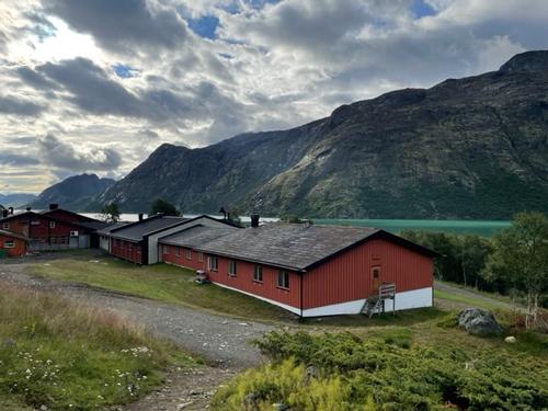
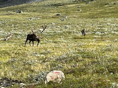
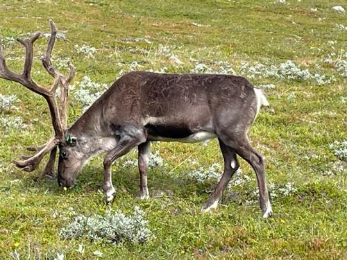
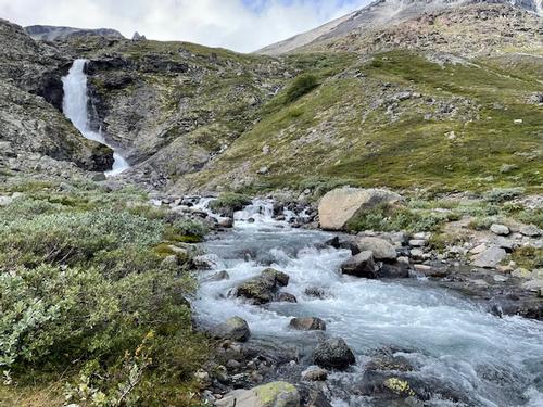
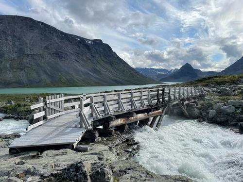
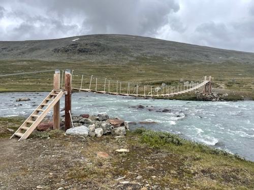
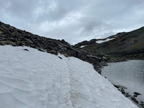
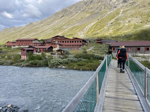
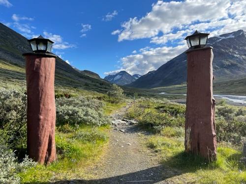
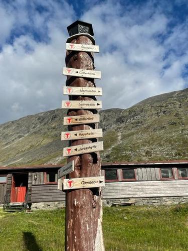
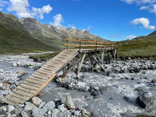
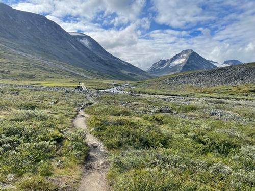
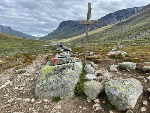
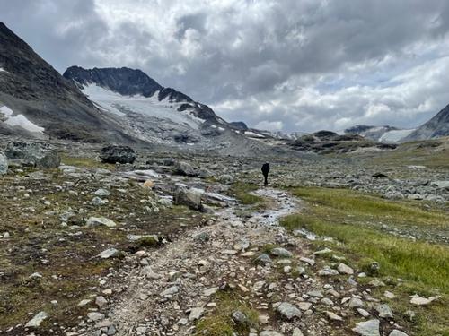
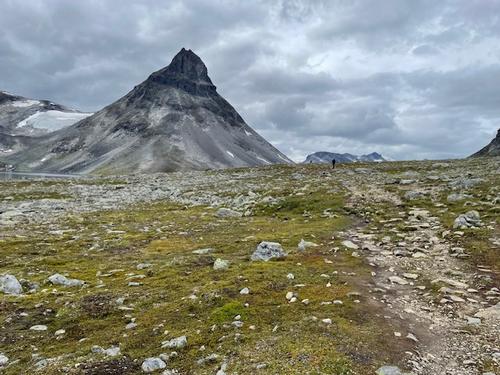
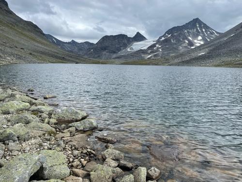
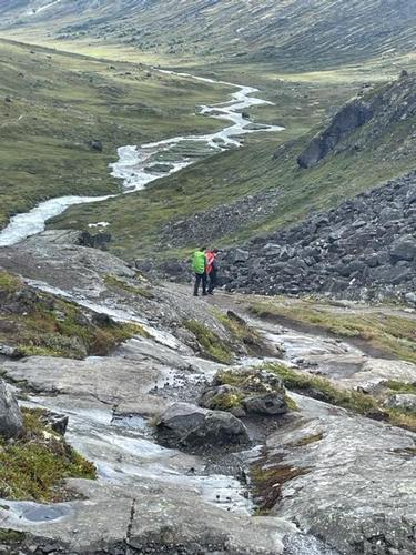
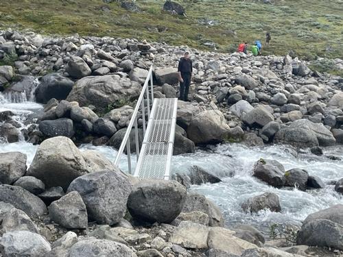
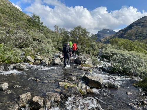
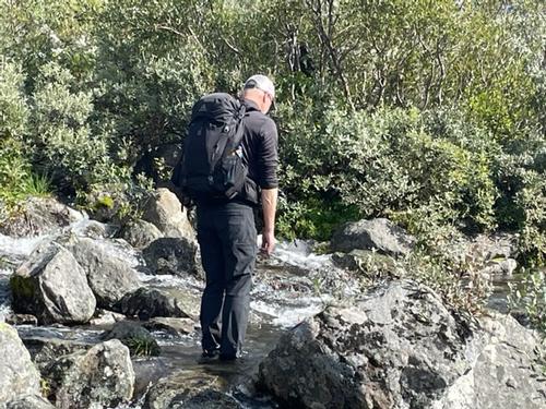
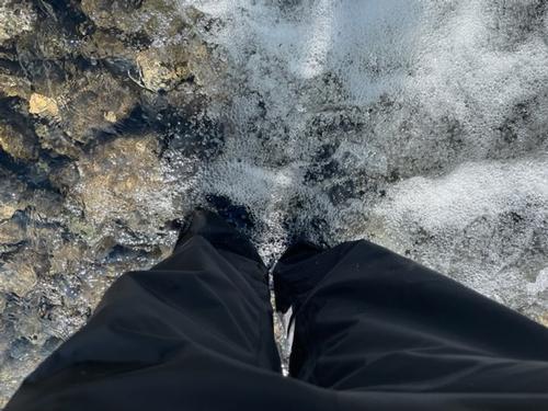
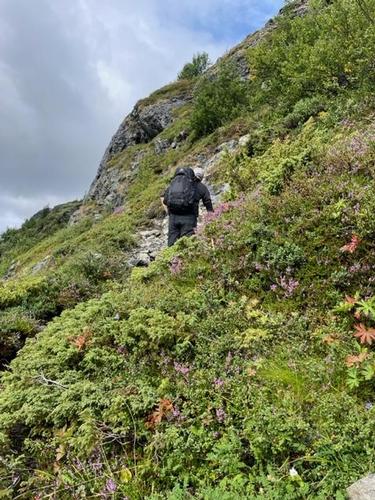
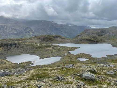
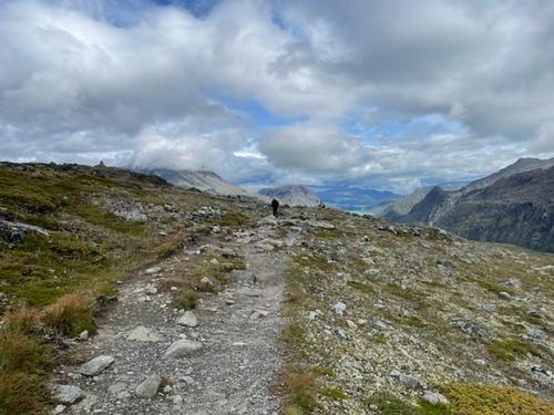
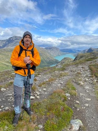
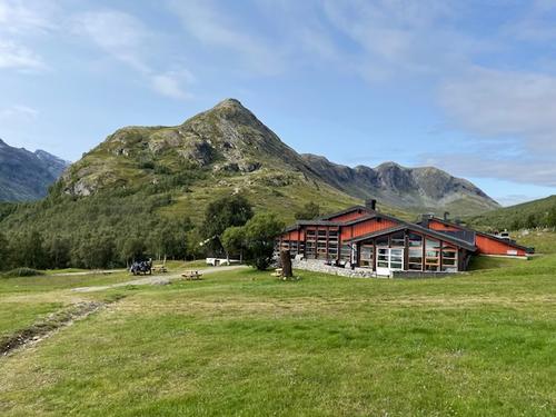
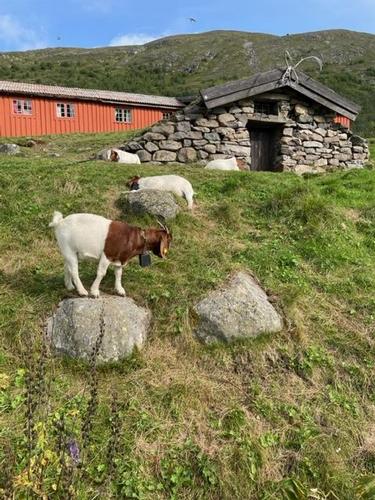
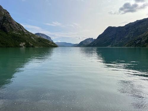
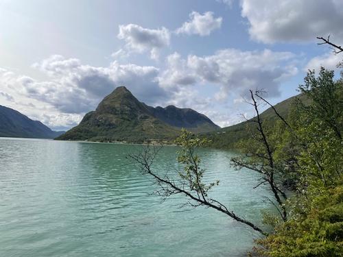
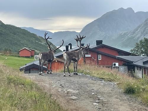
Our hut-to-hut trek through Norway’s Jotunheimen National Park followed paths though rugged, sometimes desolate terrain, high mountains, high valleys and plateaus, alpine lakes, numerous waterfalls, rivers, and herds of Reindeer and sheep! After the first day’s (very) long hike we quickly realized that listed times for the planned routes were understated, due to slow boulder field crossings, rocky trails, slippery rock scrambling and many river crossings. There had been a torrential storm the previous week and washed-out bridges were in the process of being repaired or had already been replaced. Most of the large river crossings had bridges, but small rivers and streams required rock hopping and eventually walking though knee to thigh high water, which was high and fast, when crossings could not be found. The trail markers were mostly easy to follow, however the long, daily distances and sometimes unclear landmarks (number of lakes or other landmarks) made tracking on the maps difficult at times. On the first day at around 4 PM we were sure, according to the route cards, that we were an hour and a half from that night’s hut. We ran into a group of hearty German fellows (!) who advised that they had just come from there five hours earlier! We were in disbelief and luckily ran into a young Swedish man who hiked and chatted with us for the next few hours. We arrived for a late dinner at the hut by 9 PM. After that, we were keenly aware of the need for early departures and a purposeful hiking pace.
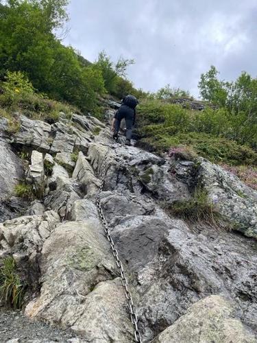
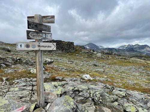
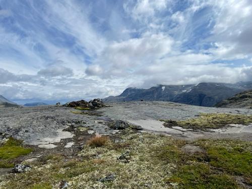
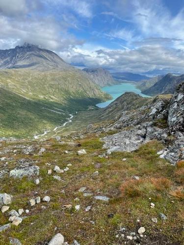
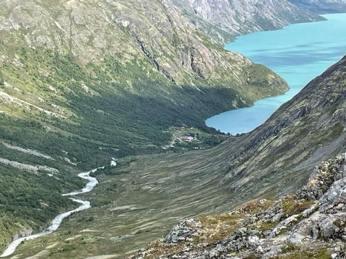
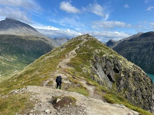
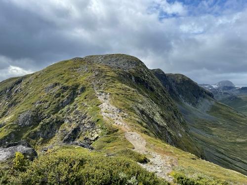
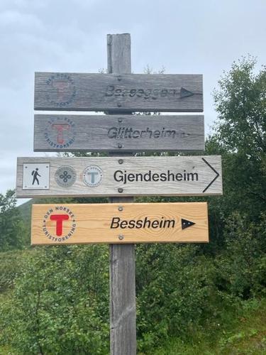
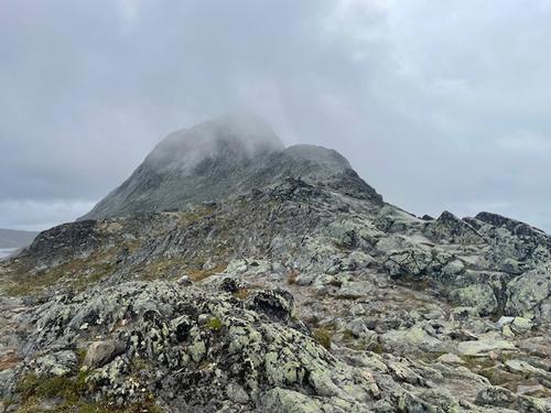
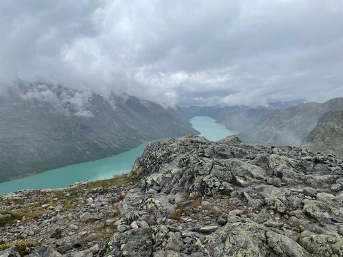
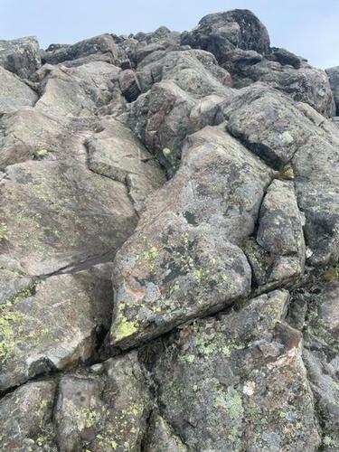
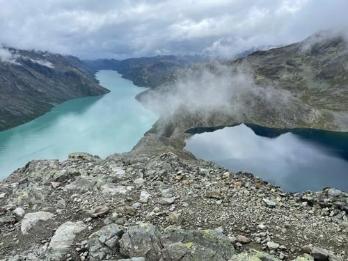
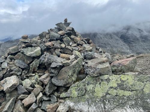
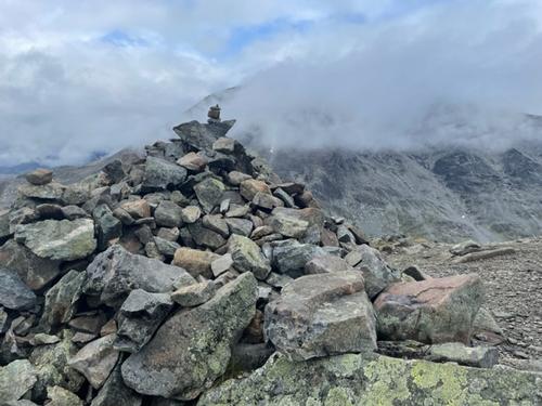
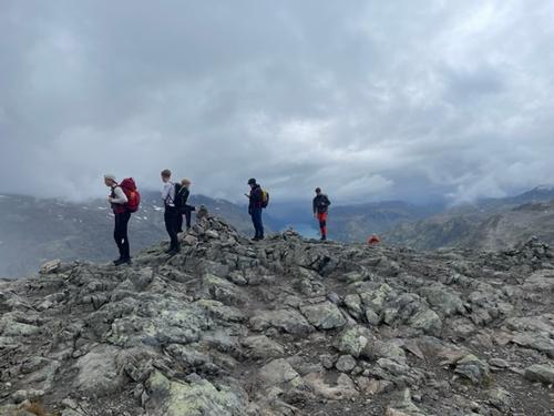
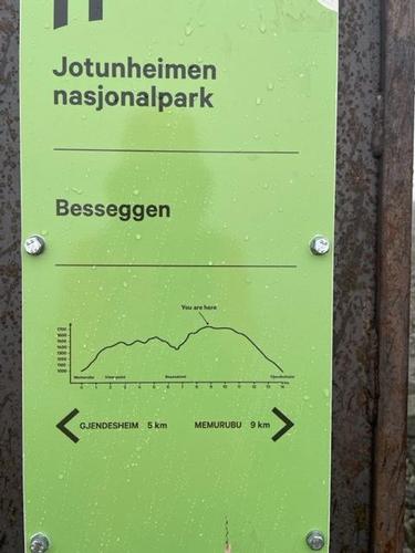
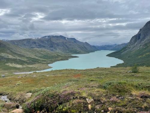
Two routes, Gjendebu to Memurubu and Memurubu to Gjendesheim over iconic Besseggen Ridge are not for the faint of heart with cable ascents, big drop offs and careful placement of handholds and toeholds required. On the final rock climb to the summit on Besseggen Ridge I wedged myself into a crevice to catch my breath and recapture my confidence to reach the summit. There was a school group behind me most of the day that scrambled up quickly without any fear of the drop offs on both sides of the trail. Once over the summit, the ridge turned into an immense, barren plateau. The cairns and trail markers became difficult to find at this point, due to wind driven snow and freezing rain. This was the worst of the weather during the entire trek, unfortunately, but there was some clearing at the right time for the classic ridge pictures.
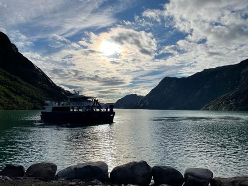
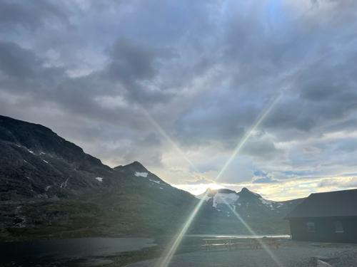
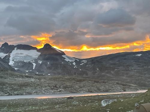
In general, the weather was much better than expected. There was scattered and steady rain at times, but also sunshine and unexpectedly milder temperatures. Temperatures were much colder at the higher elevations and mild in valleys and on the lakes. Sunsets were still on the late side with beautifully colored skies.
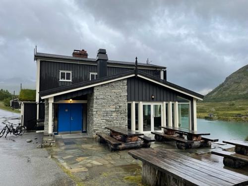
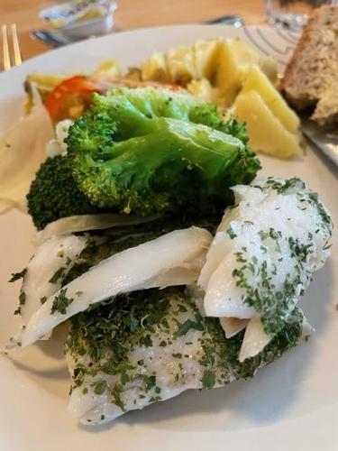
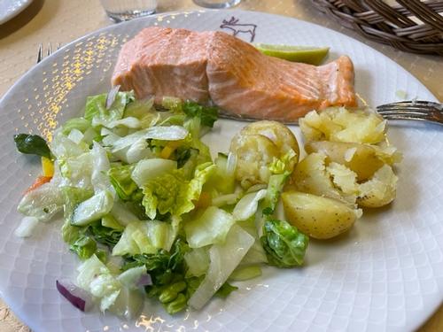
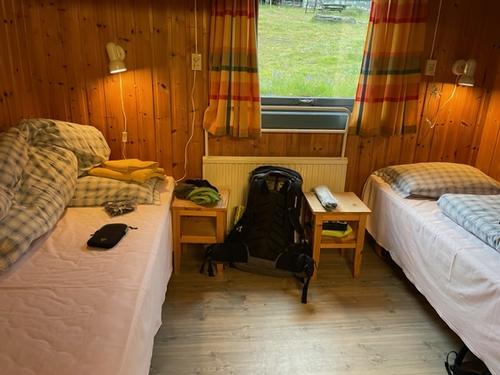
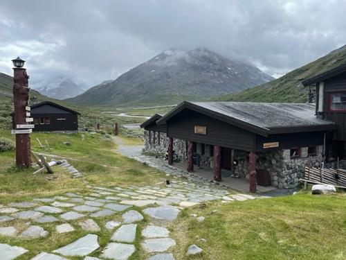
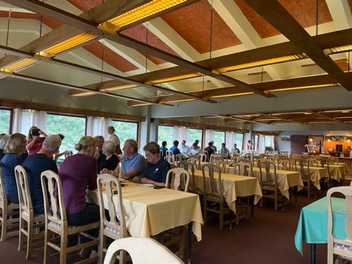
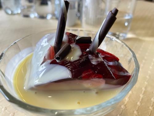
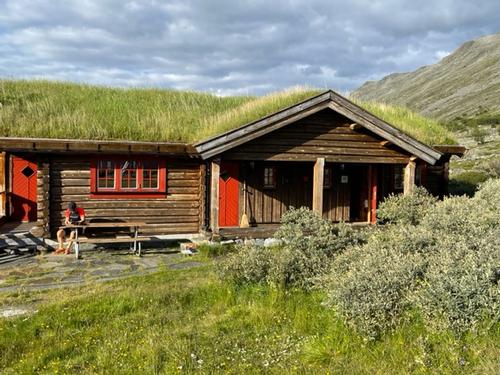
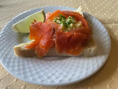
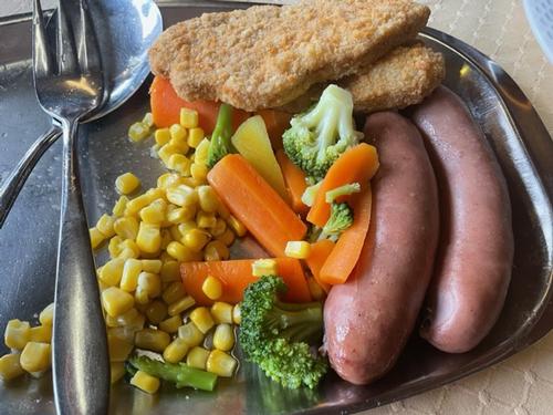
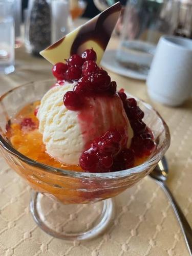
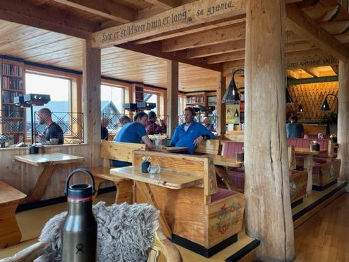
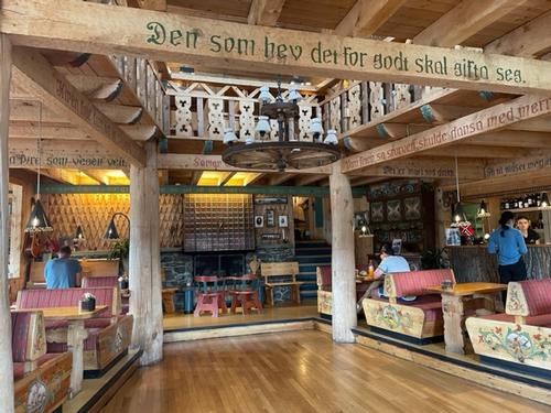
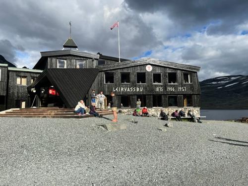
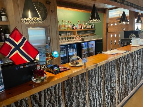
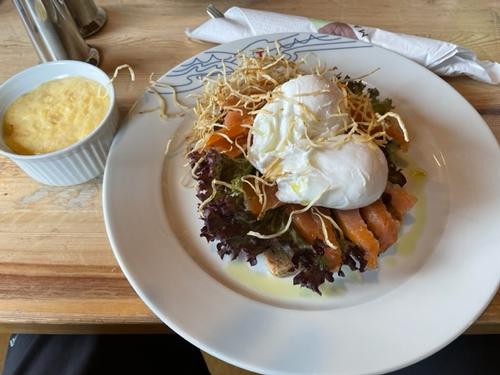
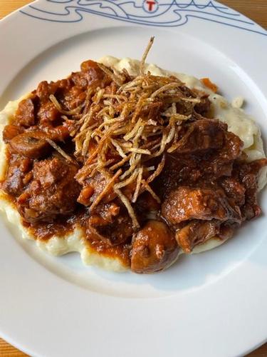
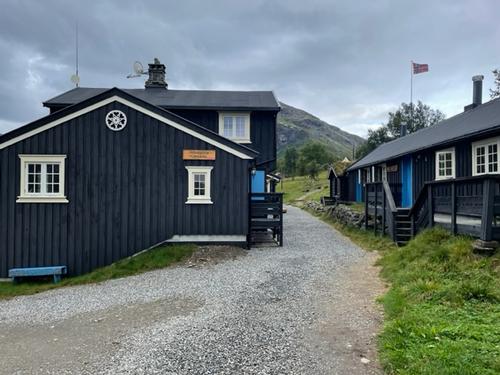
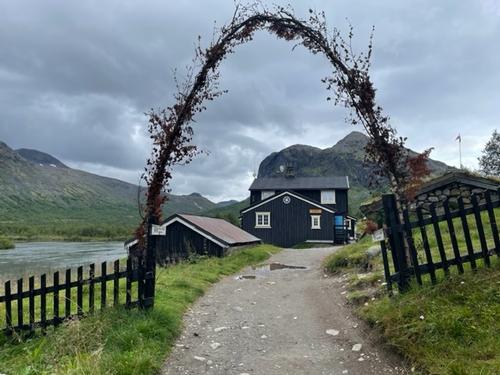
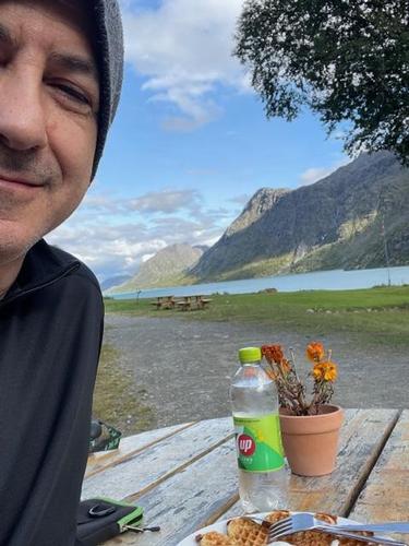
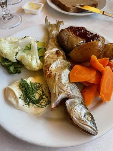
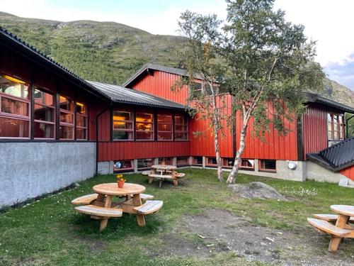
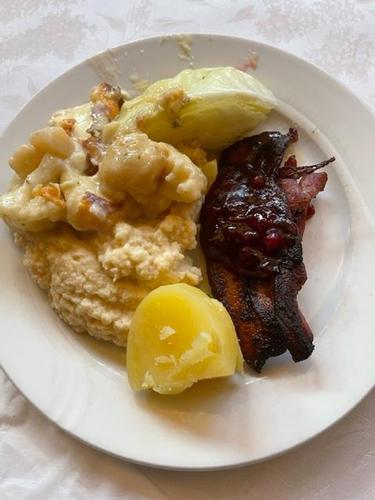
Lodges were all different and comfortable, some very rustic, often with bars and sitting rooms, gourmet meals at times with local main dishes (Lake Trout, Reindeer), buffets for breakfasts and packed lunches. Rooms were small, but adequate and showers and WC’s pretty good.
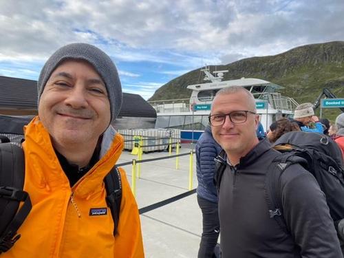
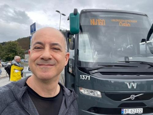
We met a lot of friendly folks, mostly Europeans from Denmark, Sweden, Belgium, Germany, France, and Norway. The logistics and public transportation were efficient and easy to manage between the airport, Oslo, and the park. It seemed like there were always vacancies at lodges, so not booking in advance might be a good option for a more flexible schedule to avoid hiking in bad weather or to add rest days on the fly. Alpine Exploratory did a wonderful job, as usual providing maps, routes, updates, bookings and on the fly advice.
Event photos (88)



Reactions
Log in to react to this trip report.
About this event
Join us for an 8-day (plus), 83-mile (133 km) trek through the dramatic landscape of high mountains, deep valleys, Nordic forests, rivers, lakes and glaciers in Jotenheimen National Park, Gjendesheim, Norway.
Trip summary from Alpine Exploratory:
This Tour (self-guided) is a wonderful circuit of the Jotunheimen National Park, visiting the main valleys of the National Park and experiencing the best of hiking available with optional rest day and/or trip extension. We link fantastic, catered huts with solid days of walking in the amazing Norwegian scenery. We also offer the option to climb Norway's highest mountain (Galdhopiggen).
The Terrain:
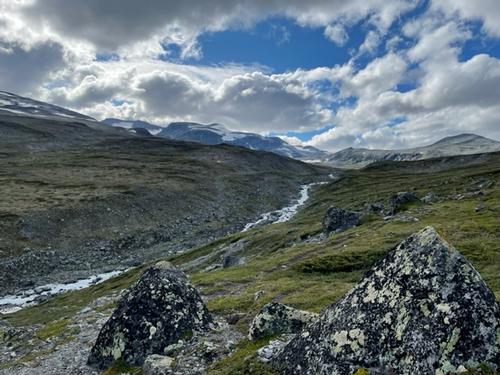
The terrain encountered varies greatly. Most days are generally a combination of good paths, and boulder fields. On these sections the path is less well defined, but cairns mark the way, generally visible on the horizon for navigation in poor visibility. Small streams are quite common and mostly easily crossed. Throughout summer there is a good chance of snow patches lying on the higher paths (and the snow slopes of Glittertind are guaranteed) but the lower paths are likely to be snow-free. There are also short sections of scrambling where hands will be needed for stability. These sections are within the realm of normal mountain walking and are not via ferrata.
Norway stands out as a country for hiking; the Jotunheimen is a gem among the nation's National Parks. It’s the highest in its mountain, it contains Norway's highest mountain Galdhopiggen (2,469m) and it's the most popular for walkers. We cross high plateaus, walk under imposing peaks, and traverse deep valleys running with streams, rivers and waterfalls. In a single day, hikers see glaciers, sweeping valleys, flourishing meadows, and Nordic forests. Since 2018 it has become one of our most popular trips, and we hope you’ll love it!
You'll find little sign of human life other than the huts and the paths. Our tour is a circular route through the park over 6 or 8 days. In 6 days, you cover most of the park’s varied landscapes but if you have more time, the wilder and trickier Eastern side can be explored further. (This replaces the Leirvassbu-Gjendebu stage with a 3-day loop via Skogadalsboen and Fondsbu). The huts are comfortable and provide an amazing Norwegian hut experience which our hikers have really enjoyed.
Rest Day or climb Northern Europe's highest mountain:
We don't include a rest day as standard on our Jotunheimen Tour; however, if you'd like to add in a rest day, we'd recommend taking one at Spiterstulen as this gives you the option to have a rest (maybe taking the morning bus to Lom and afternoon bus back) or to climb Galdhopiggen. At 2,469m Galhopiggen is Norway's highest mountain and can be summitted on a day trip from the Spiterstulen hut. This day is graded at Black 4. Please let us know if you'd like to add an extra night here.
Make the trip longer:
A great way to extend your trip is to add 2 further stages, making 8 stages in total (9 if you also include the ascent of Galdhopiggen). This fantastic extended tour would see you hike to Leirvassbu as normal and then split off to walk to Skogadalsboen, Fondsbu and then Gjendebu before completing the final 2 stages as normal. It's worth noting that the stage from Skogadalsboen to Fondsbu is probably the toughest of the whole tour due to its length and its bouldery terrain, often with no visible path.
Accommodations:
The Norwegian hut system is possibly our favorite of any nation and typifies the Norwegian culture. For example, it is expected that you will be trekking with a thermos flask, as is the Norwegian way. Each evening guests line up their flasks on a trolley, labelled with their name and hot beverage of choice and miraculously come breakfast they are full. Food in the huts is chiefly Norwegian; it's hearty mountain food for dinner as you might expect! A packed lunch is also included at every hut. Guests make sandwiches from the breakfast buffet and wrap them in special DNT greaseproof paper. There is an art to the Norwegian hut sandwich!
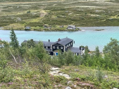
The huts are comfortable, spacious and organized with most offering the option of private rooms. Meals are taken at communal tables and give an excellent opportunity to dine and chat with local hikers. Norwegians are proud of their excellent English. As standard we'll book your final night in a hotel in Otta. If you prefer to stay your last night in the Gjendesheim hut, this is an option and please ask us.
Who came along (2)
 GUEST MEMBER
Comments
No comments yet.
Log in to join the conversation.