
AT Hike - Dismal Creek Falls to Lickskillet Hollow
Lovely day hike.
The trip report
Written by dnaturist
Two of us did this hike in the reverse direction from the original plans. This put us finishing at the Falls of Dismal Creek instead of starting there. Better to get wet feet at the end rather than the beginning. Also made the shuttle easier.
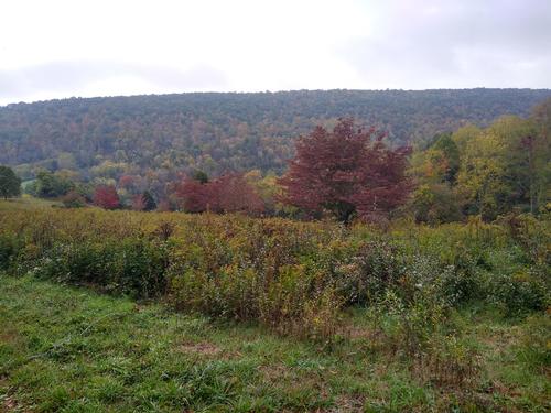
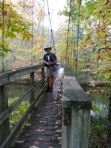
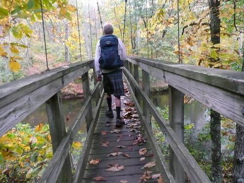
The trail did lead through a field for a bit, which gave us some nice views. Near the end of the hike we crossed Kimberling Creek over a long suspension bridge.
This hike took us 3 hours and 48 minutes.
Event photos (3)
Reactions
Log in to react to this trip report.
About this event
This 7.5 mile north to south hike on the Appalachian Trail will begin on Dismal Creek Road and follow a short trail to the upper portion of Dismal Creek Falls. From here a short spur trail will lead us to the AT. The hike will end at Lickskillet Hollow (VA 608). This will be a one-way hike and will require a car shuttle.
The hike will begin at an elevation of about 2300 feet. It will proceed with several small ascents and descents and reach a low point of 2040 feet at Wilderness Road (VA 606). Then we will cross a suspension bridge across Kimberling Creek. From there we will ascend along an open field with views of Brushy Mountain. At 4.1 mile we will reach the crest of Brushy Mountain and an elevation of 2680 feet.
We will follow the ridge crest for the next 2.2 miles, reaching a high point of 2720 feet before beginnng our descent to Lickskillet Hollow (VA 608) and the end of our hike.
Plan on spending 4.5 to 5 hours on the trail.
Who came along (1)
 GUEST MEMBER
Comments
No comments yet.
Log in to join the conversation.