
Mt Monadnock from Old Toll Road
Hike up Mt. Monadnock and drive up Pack Monadnock.
The trip report
Written by BillyB1976
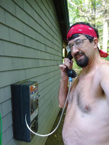
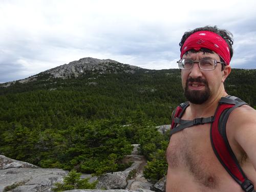
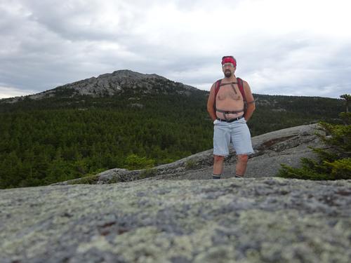
Well, the turn in the weather on this hike wasn't really expected. The weather was perfect on my drive down from Meredith. I started shirtless with sunny skies, ended up in a wind driven rain at the summit, and ended the hike shirtless with sunny skies! Oh well, classic New England weather!
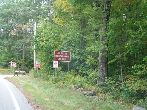
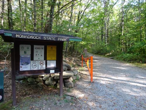
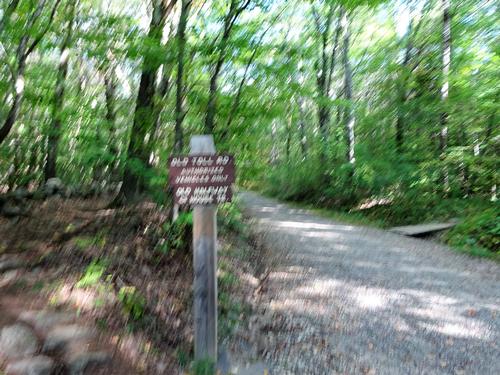
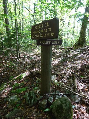
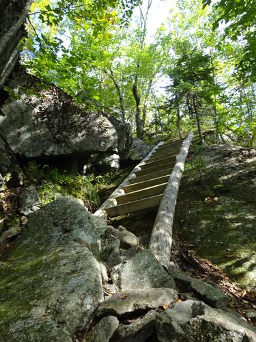
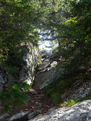
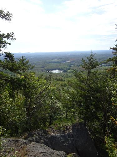
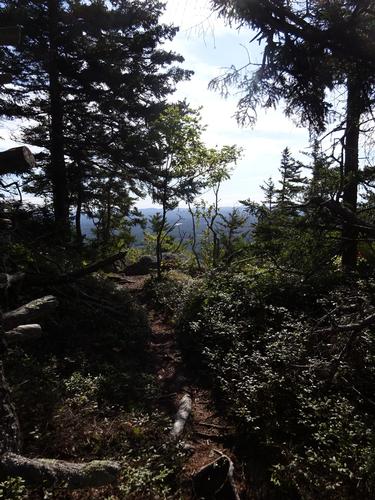
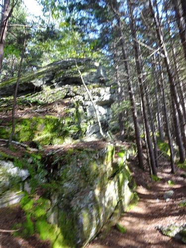
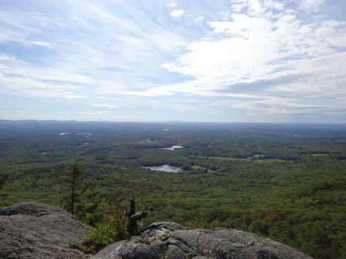
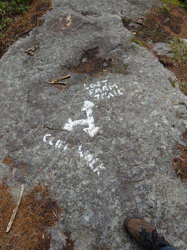
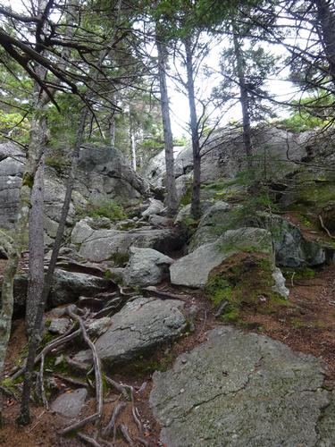
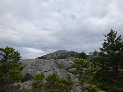
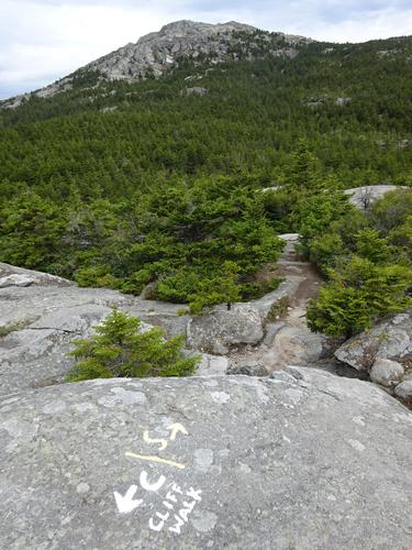
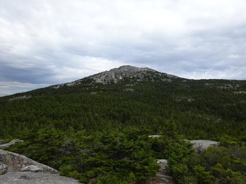
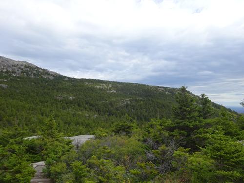
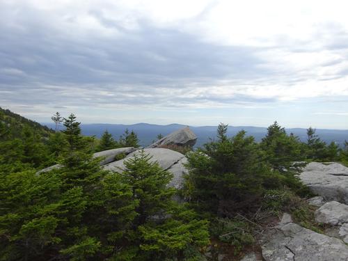
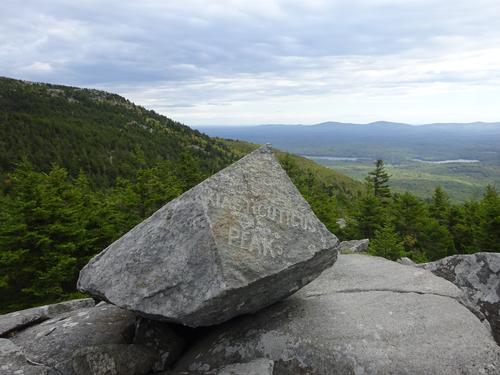
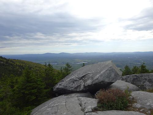
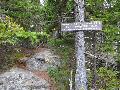
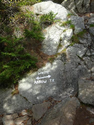
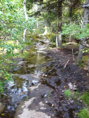
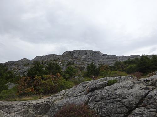
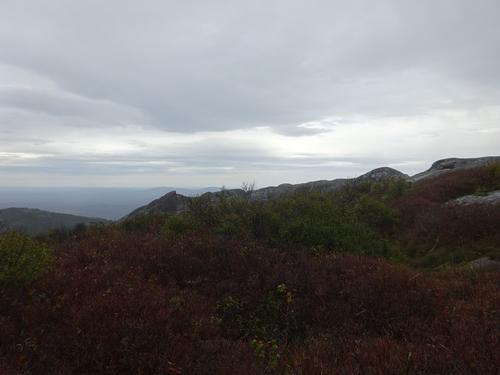
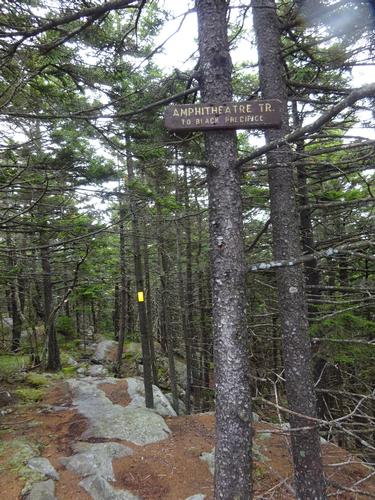
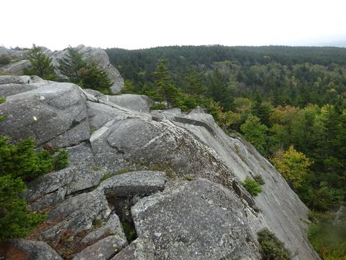
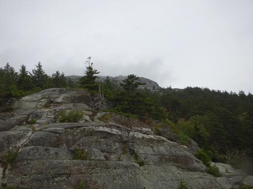
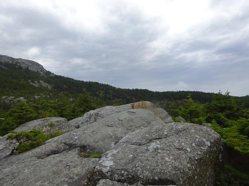
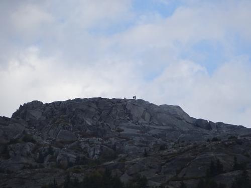
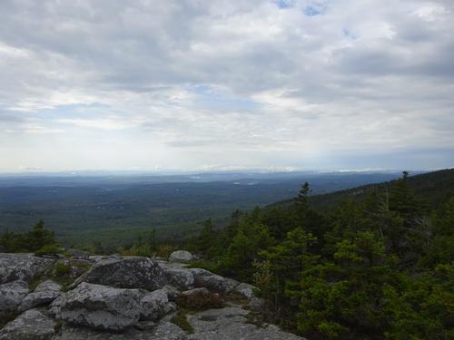
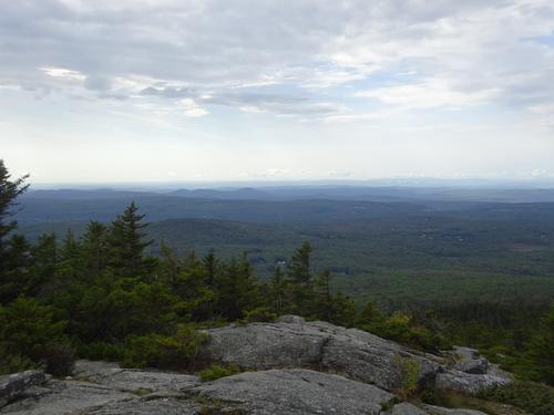
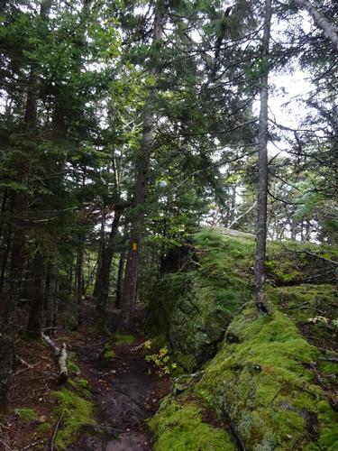
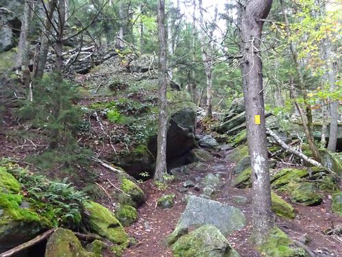
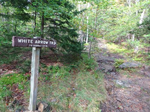
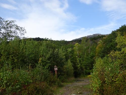
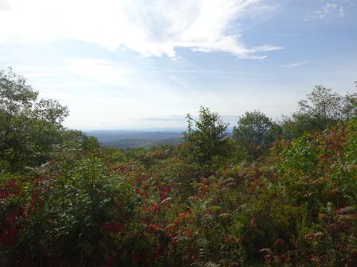
My route started and ended at the Old Toll Rd trailhead. Cliff Walk was one of the trails I used on this hike. With the name Cliff Walk, I guess I was expecting a more open and cliff like route, but it really wasn't that way. There are some viewpoints, but nothing really out in the open until you reach Bald Rock, where there are excellent views. There is both gain and loss in elevation on Cliff Walk. At Bald Rock I continued on Smith Connecting Link to the Amphitheater Trail. I turned onto the White Arrow Trail and continued to the summit. There is elevation gain on Cliff Walk, but it seems most of it is gained on the White Arrow Trail. White Arrow is definitely more traveled than Cliff Walk.
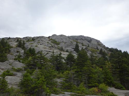
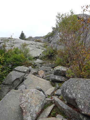
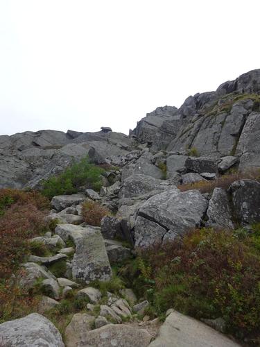
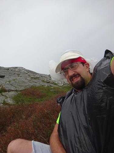
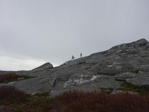
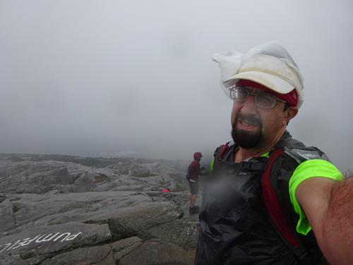
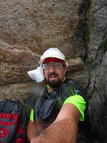
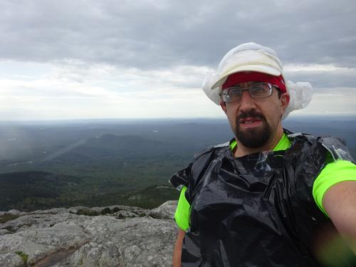
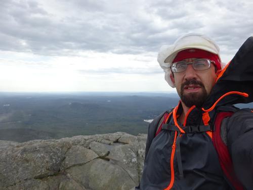
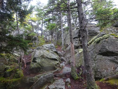
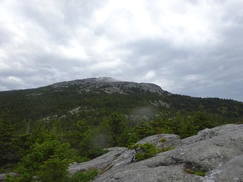
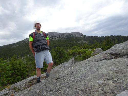
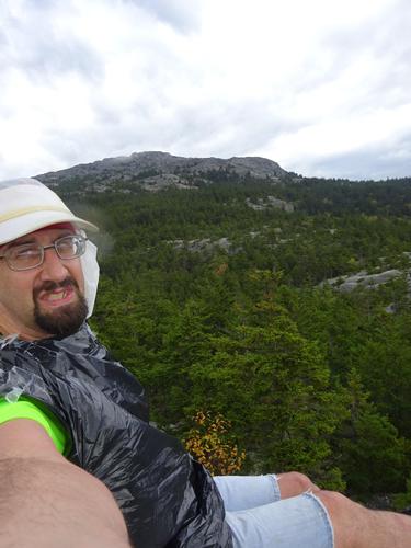
The hike up above the treeline to the summit was steep but not really difficult. On my hike up I could see more clouds were rolling in, with less sunshine. Once above the treeline I could see I would probably get caught in the rain. Once it started to rain I got out my redneck "rain gear" and continued up. My rain gear may not be fancy, but it is compact and served its purpose. My lower body wasn't covered, but below the waist can take more of a beating than above the waist! :) LOL
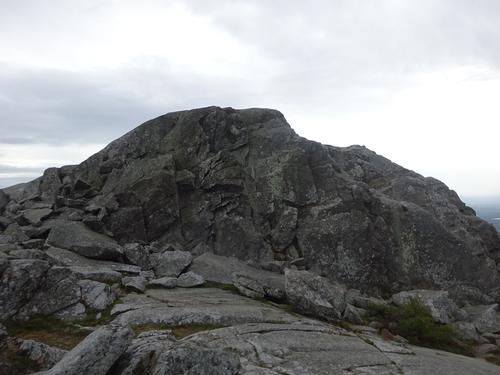
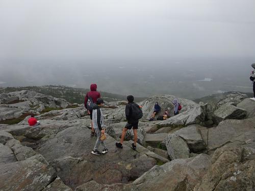
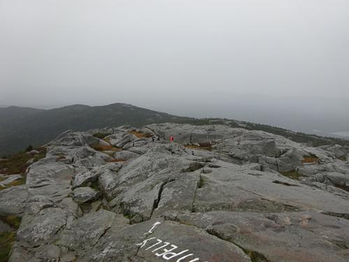
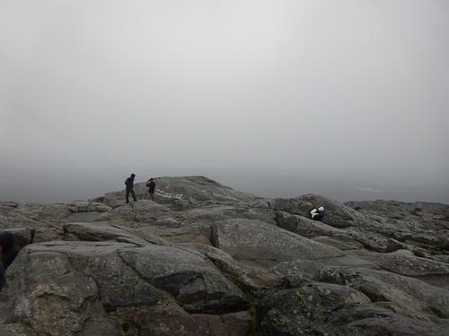
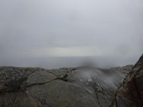
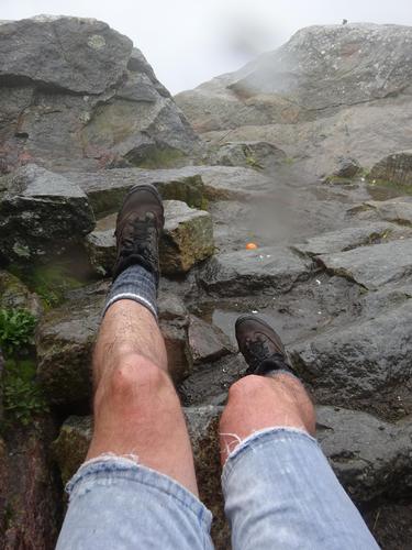
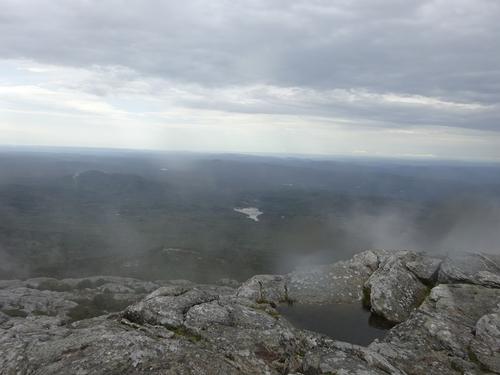
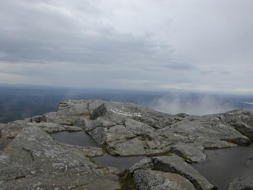
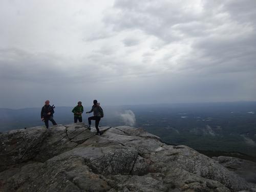
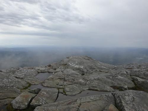
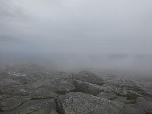
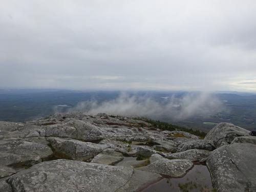
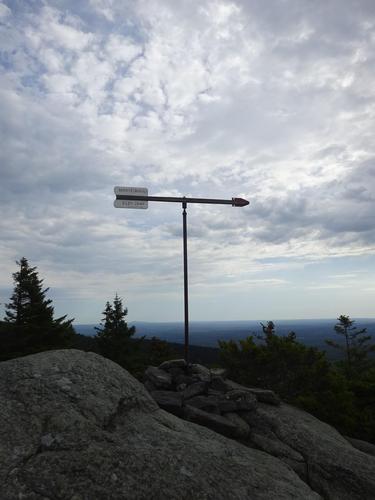
Just below the summit the rain started to come down harder and the wind picked up. I found a somewhat sheltered spot from the wind and hunkered down for 25 minutes. There were other people on the summit so after a while I decided to just deal with the weather and head up the last stretch to the summit. The summit was socked in when I arrived.
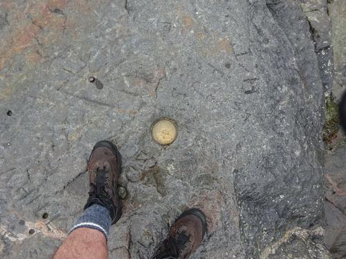
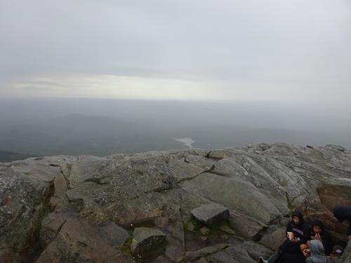
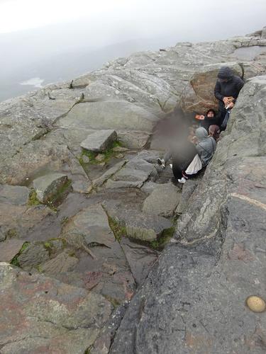
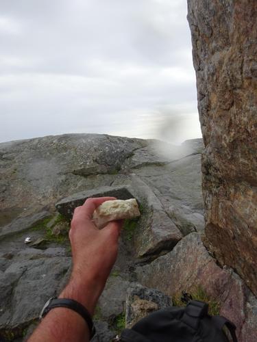
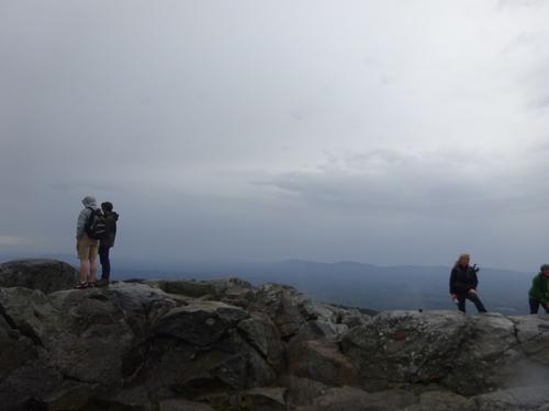
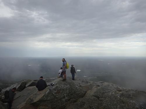
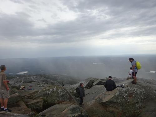
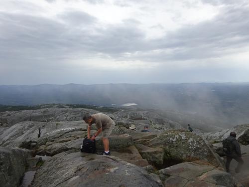
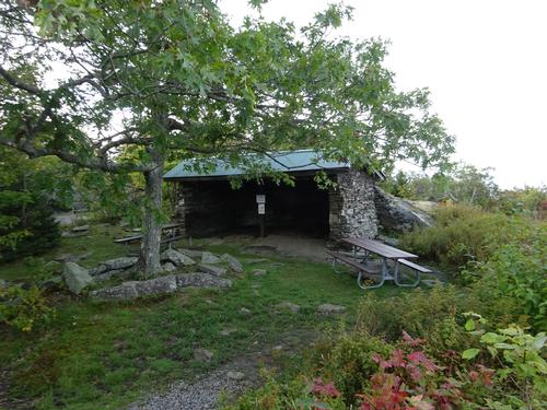
At the summit I could see a nice spot to hunker down, but it was occupied by teenagers! When they left, I hunkered down there and had my lunch. I also picked up some trash the teenagers left behind! :( There were several people at the summit, but no one else joined me in the sheltered area.
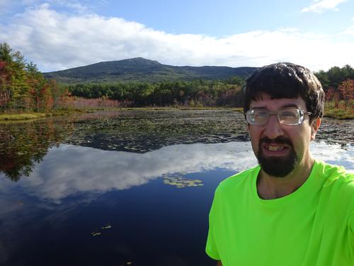
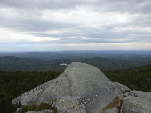
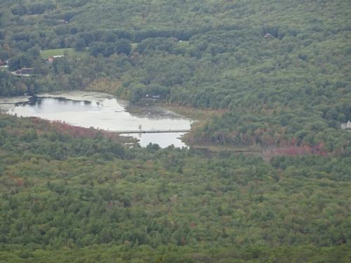
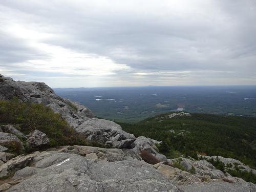
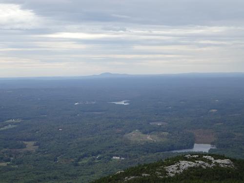
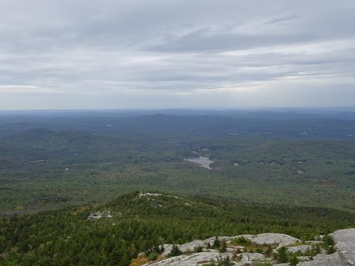
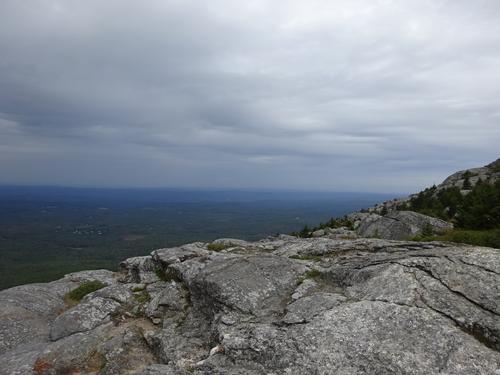
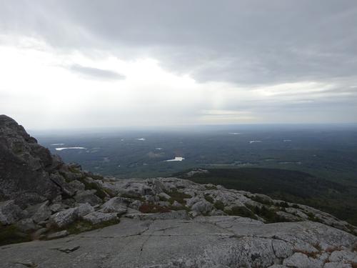
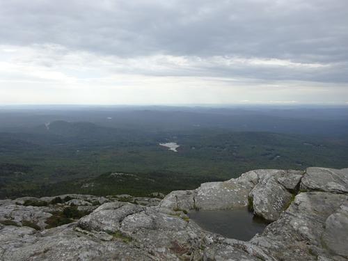
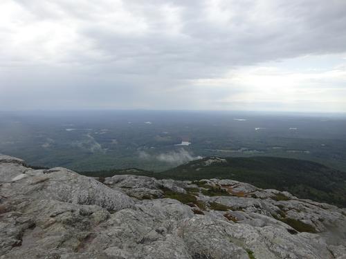
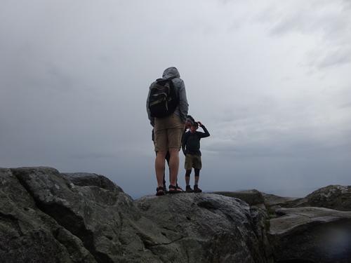
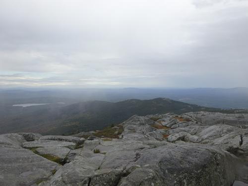
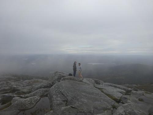
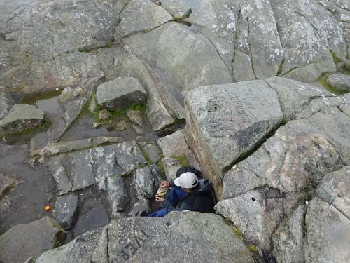
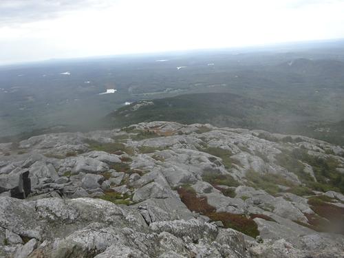
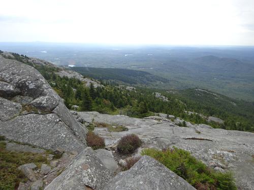
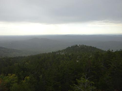
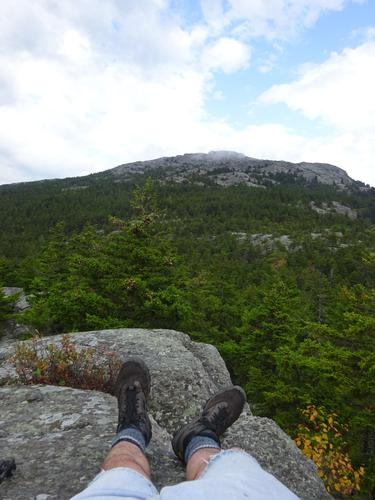
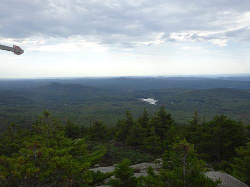
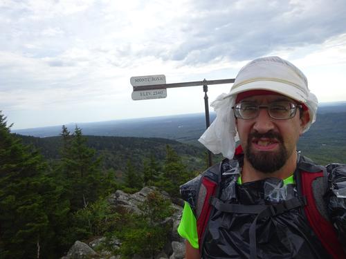
After my lunch the rain had let up some so I got up and took some pictures. It was still very windy. I was at the summit for 45 minutes.
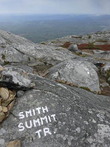
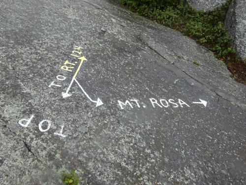
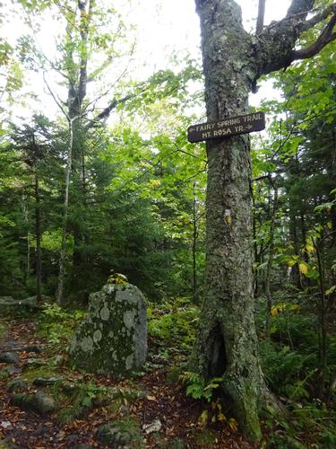
The weather still wasn't great when I left the summit, but I decided to stick to my original planned route and headed down to Monte. Rosa. As I made my way down the weather improved. I stopped at Rosa for a snack break and continued down. Route down was Smith Summit Trail, Fairy Spring Trail and the Old Toll Rd.
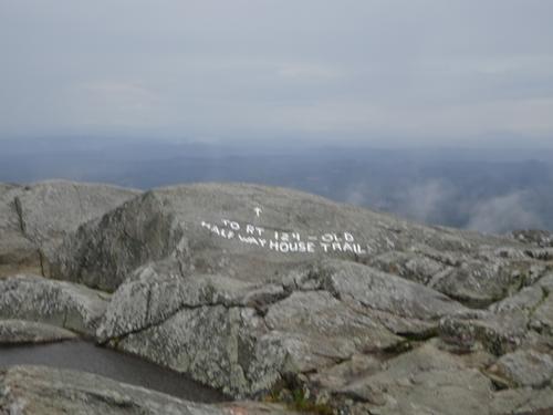
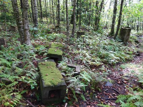
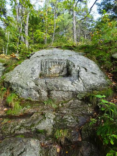
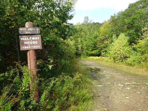
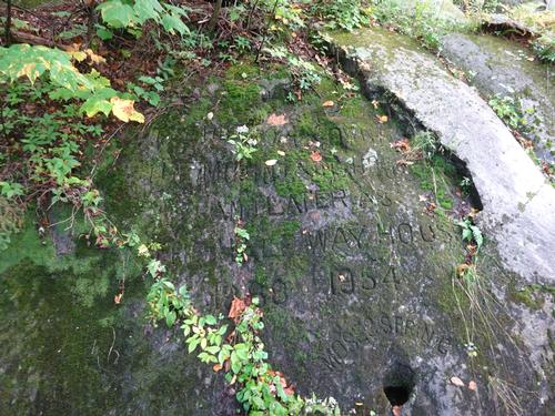
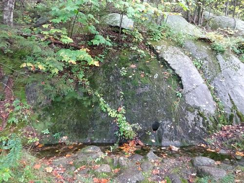
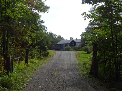
Somehow I missed the upper end of the Old Halfway House Trail. Instead of turning around to look for it, I just continued down the road.
I did not meet many people on the trails. I only met 2 people on Cliff Walk, and 2-3 more people on White Arrow. Even with shitty weather, there were several people at the summit. I think the weather took many people off guard. On my way down I didn't meet anybody until the Halfway House site.
The hike was around 6 miles, going up around 1,715 feet. It took me 2.5 hours to reach the spot just below the summit where I hunkered down for a few minutes. The total hike lasted just under 6 hours.
I had labeled this hike as strenuous, but I really don't consider it that. I figured Cliff Walk would be harder than what it was.
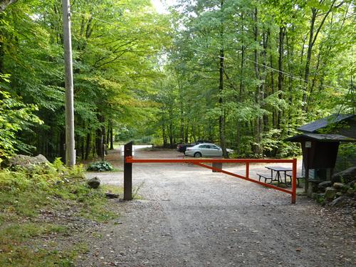
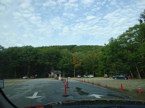
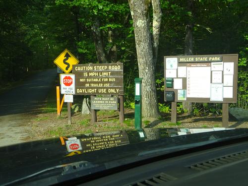
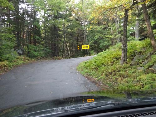
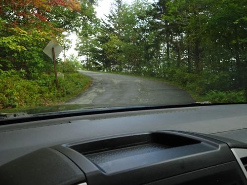
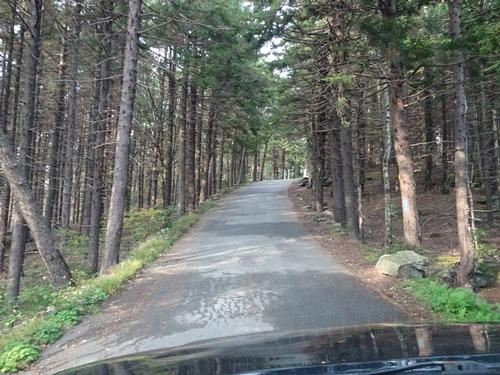
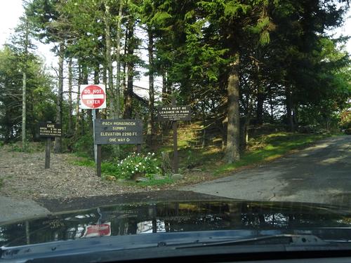
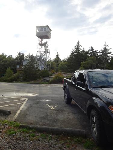
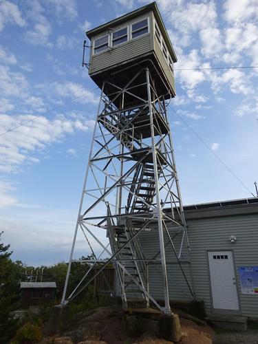
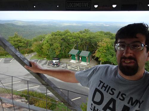
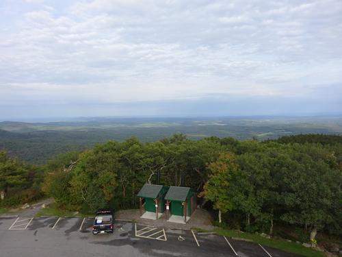
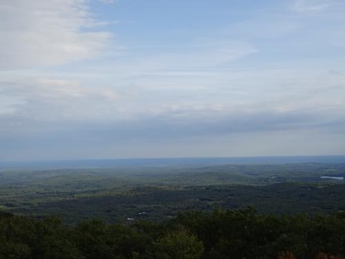
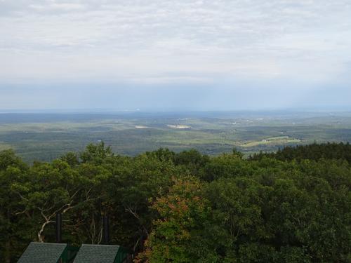
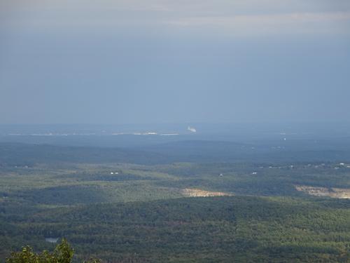
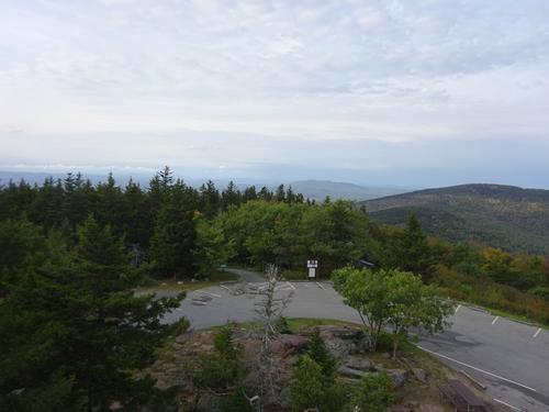
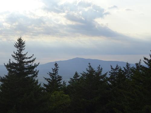
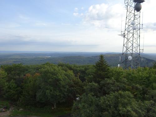
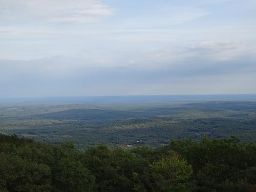
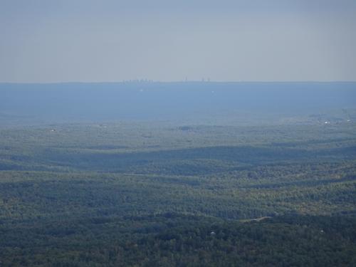
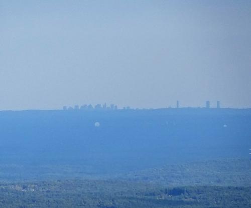
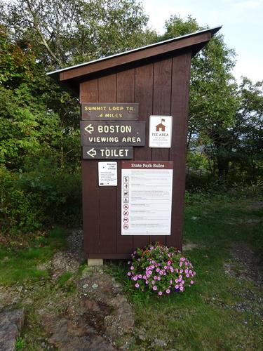
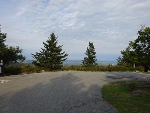
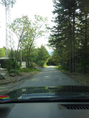
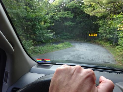
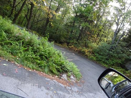
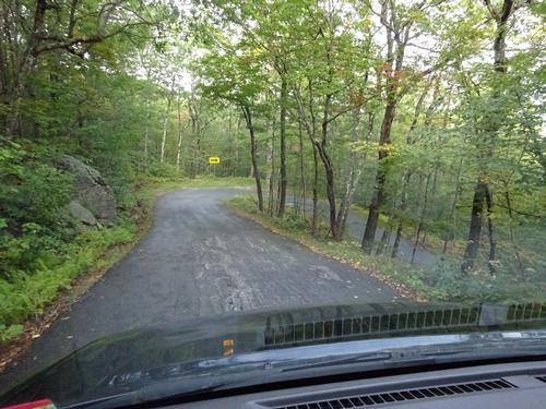
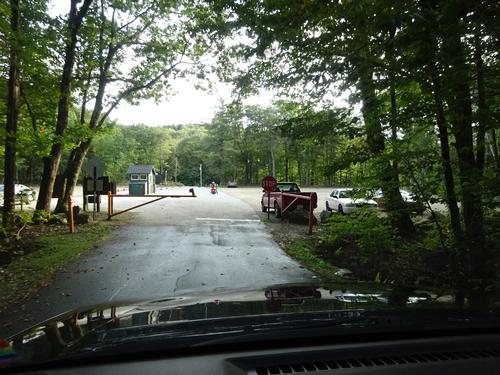
After the hike I went to Pack Monadnock and took the "lazy" way up. :) LOL I arrived at 4:20, and they wanted me back down at the gate by 5:00, so my time there was limited. It was a nice spot, and I was able to get a pic of the Boston skyline.
Also on my vacation to NH, I hiked Mt. Cabot, The Bulge and Horn with a friend; as well as the fire tower on Blue Job Mtn. I'll get those posted as personal trip reports in the next 2-3 days.
Event photos (142)
Reactions
Log in to react to this trip report.
About this event
Hike up Mt. Monadnock, 3,165 ft. Excellent views from the open summit.
I'll post this as an all day hike, but I don't see it taking that long. From looking at AllTrails, it seems the hike could take 4-5 hours. Also, I do like to take a lot of pictures. AllTrails lists this route as hard, so I'll label it as "strenuous". Some posts on AllTrails mention some bouldering on this route. Plan to have lunch at the summit. The route is about a 6.1 mile roundtrip. (Many of AllTrails posts show around 5.6 miles.) Going up is 3.2 miles and going down is 2.9 miles. Elevation gain is around 1,715 feet.
AllTrails shows this route as "lightly trafficked". Hopefully that is the case because I do prefer the road less traveled. :) I'm aware the White Arrow Trail is a popular route and that the summit could be busy.
AllTrails page of this route:
https://www.alltrails.com/trail/us/new-hampshire/monadnock-via-cliff-walk-and-halfway-house-loop
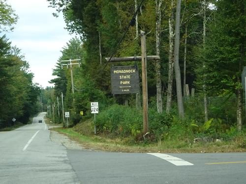
The hike will start and end at the Old Toll Rd/Halfway House Rd on Rt. 124 in Jaffrey.
Route up:
-Old Toll Rd
-Parker Trail
-Cliff Walk
*Bald Rock*
-Amphitheatre Trail
-White Arrow Trail
*Summit*
Route down:
-Smith Summit Trail
*Monte Rosa*
-Fairy Spring Trail
-White Arrow Trail
-Old Halfway House Trail
Because of time of year, it might be a good idea to pack a light jacket and hat.
Pets are not allowed in the park.
The state park website does recommend parking reservations, but doesn't say they are required. I plan on getting one just to be safe.
I'll be driving a black Nissan Frontier pick-up truck. Maine plate #6039 IJ.
I'll be staying with a friend in Meredith. I plan on leaving his house around 6:30 AM. I do not have a phone with internet access, (flip phone) so once I leave his house I won't know if anybody signs up for the hike last minute. If you do, please show up on time. Thank you. :)
Unlikely I'll get a trip report posted until the weekend.
Who came along (1)
 GUEST MEMBER
Comments
Log in to join the conversation.