
AT Hike - Chestnut Ridge TH to VA 610
A long day of fat burning ascents.
The trip report
Written by dnaturist
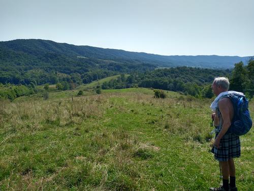
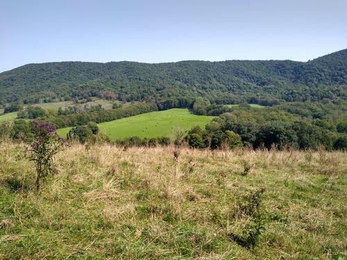
This was a ridge running hike of numerous ascents and descents. This was a well shaded hike at the top of the forest.
We took a nice rest at Knot Maul Branch Shelter.
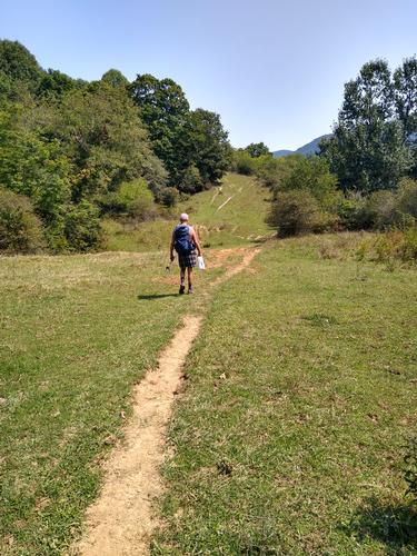
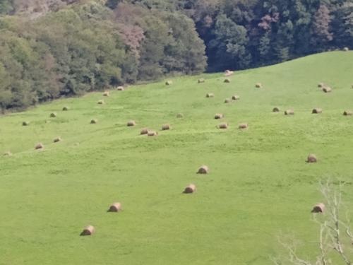
The last two miles of the hike were through farms of intermittent pasture and woodland. While on the farm land we followed the Hoston North Fork River for a while and crossed it near a farm house. Several ladders, over fencing, were climbed as well as gates at pasture lands.
At hikes end we crossed pasture on the way to the car.
Event photos (5)
Reactions
Log in to react to this trip report.
About this event
This one-way 9.4 mile hike will require an auto shuttle between the trailheads. The hike will begin at VA 625, Poor Valley, at an elevation of 2300 feet and head south. It is called Poor Valley because of the poor soils, not suitable for crops or grazing.
The hike starts off with an ascent of 650 feet over the first 2.3 miles to Lynn Camp Mountain (2950 feet). There the trail drops quickly to 2300 feet and the Lynn Camp Creek. A foot bridge crosses the creek. From there an ascent begins over the next 2.3 miles to the crest of Bushy Mountain at 3100 feet. Just before the crest we will arraive at Knot Maul Branch Shelter. There is a privey at the shelter.
From the crest of Brushy Mountain we will begin our last descent, of 500 feet over 0.8 of a mile, to Virginia Highway 42 at a distance of 6.9 miles. At 7.7 miles we will come to a stream and then the North Holston Fork River at an elevation of 2450 feet. After leaving the river we will have a short elevation gain of 150 feet before reaching the car at VA 610.
Plan on spending 6 to 7.5 hours on the trail for this hike.
Who came along (1)
 GUEST MEMBER
Comments
No comments yet.
Log in to join the conversation.