
Gulf Hagas - Grand Canyon of Maine
Gulf Hagas - the Grand Canyon of Maine...
The trip report
Written by BillyB1976
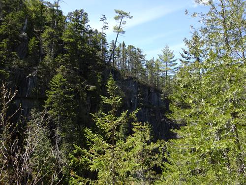
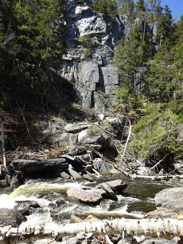
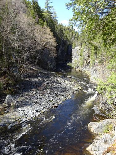
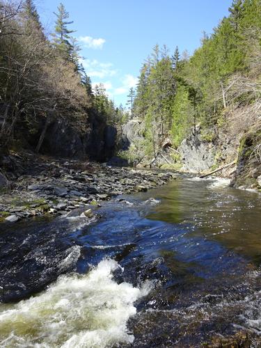
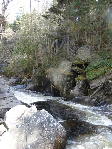
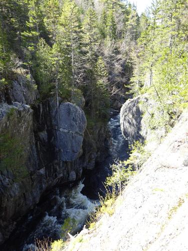
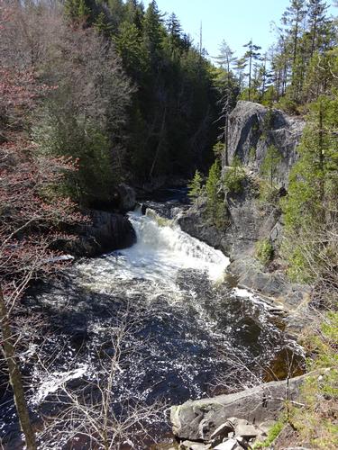
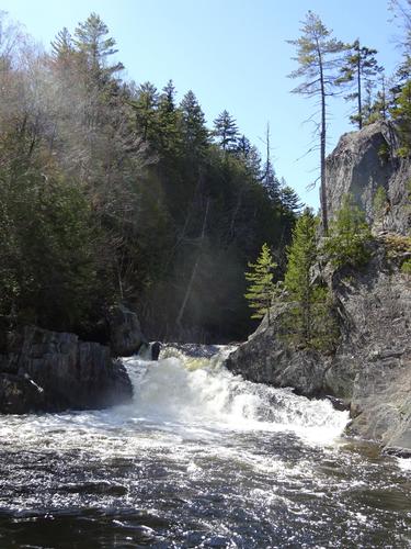
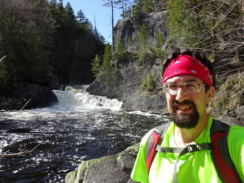
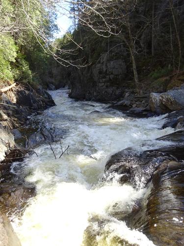
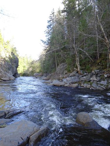
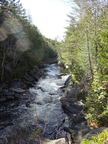
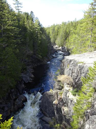
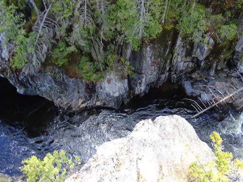
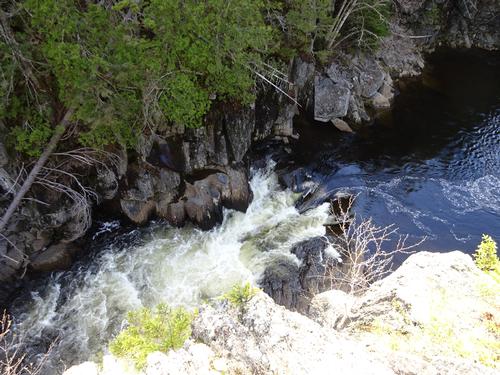
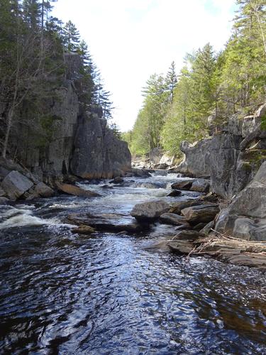
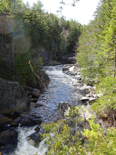
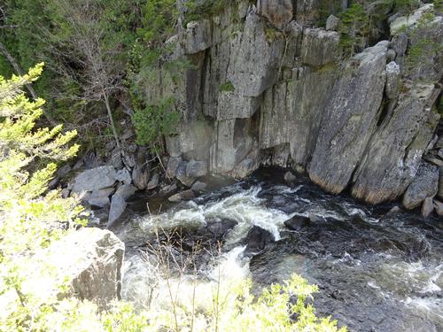
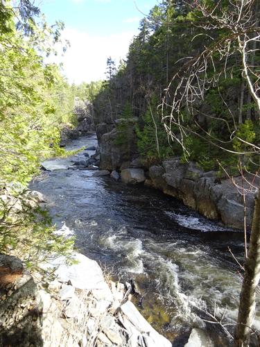
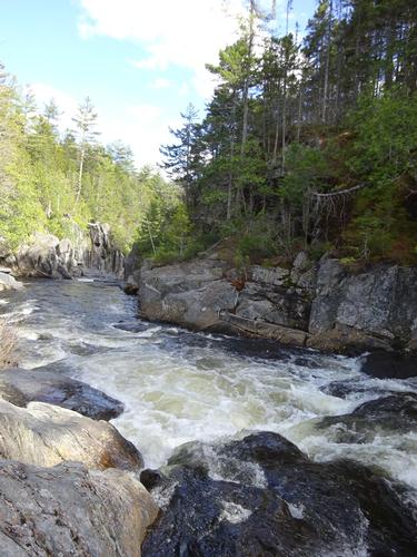
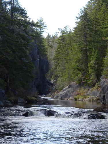
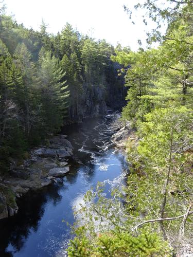
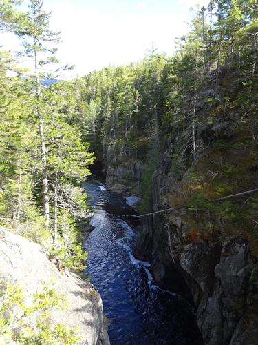
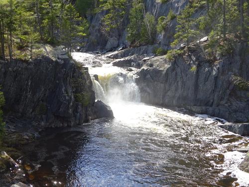
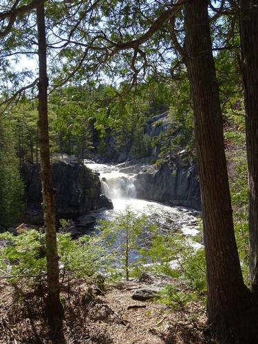
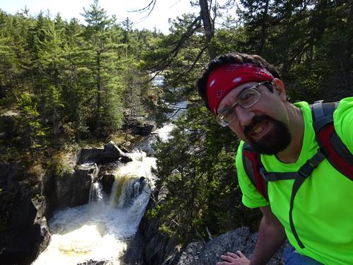
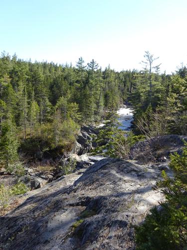
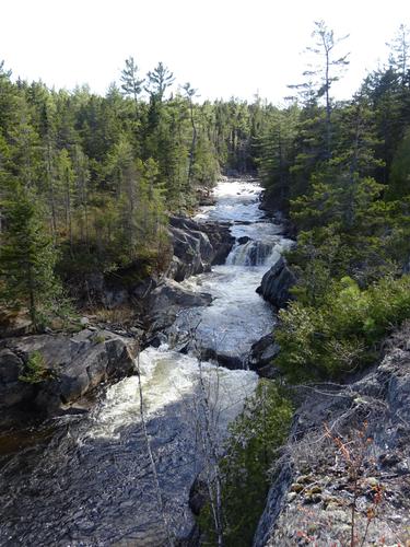
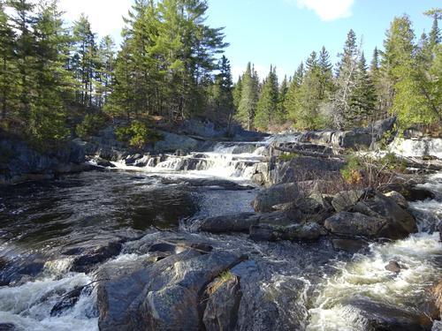
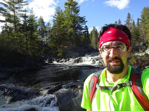
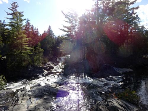
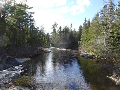
Gulf Hagas is a 3-mile long gorge created by the West Branch of the Pleasant River. There are several waterfalls along this stretch. It is located in the 100 Mile Wilderness section of the Appalachian Trail, between Brownville Junction and Greenville.
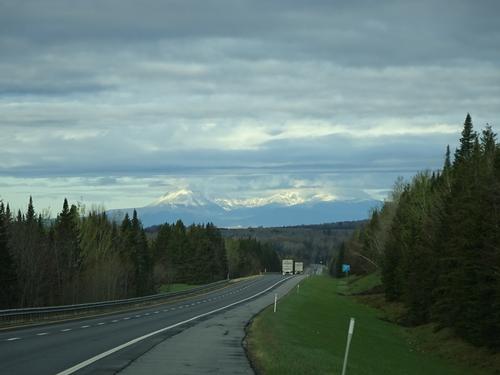
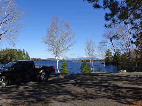
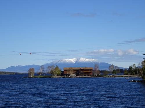
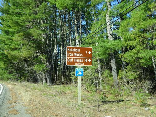
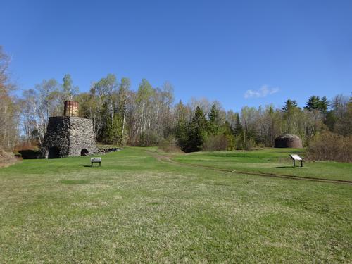
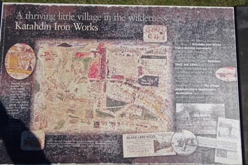
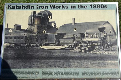
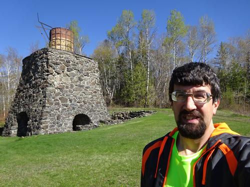
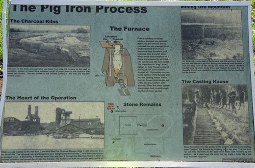
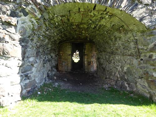
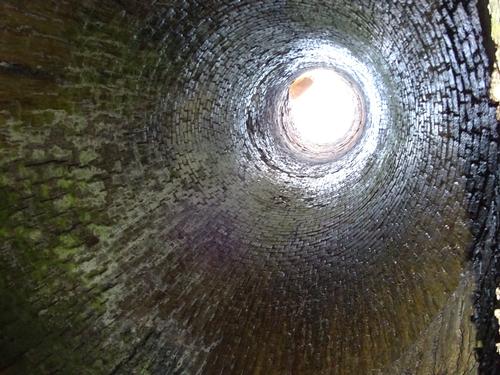
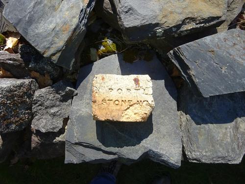
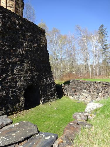
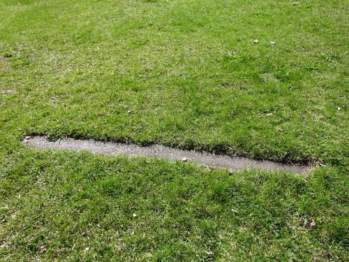
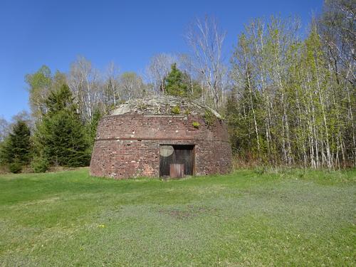
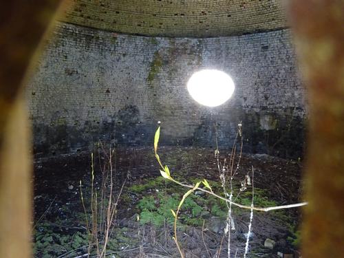
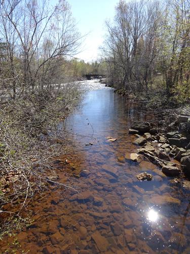
On the drive to Gulf Hagas I stopped at Katahdin Iron Works. In the mid to late 1800's there was actually a small town there and it even had train service.
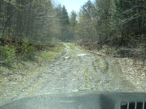
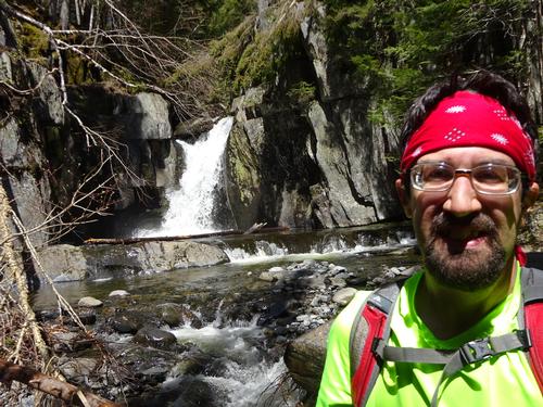
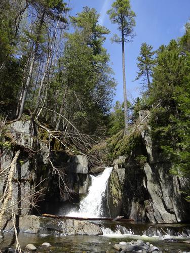
My route to access the trail was from Hay Brook, which is not the typical access point. I wanted to start at Hay Brook because I wanted to go to Hay Brook Falls and also because this route didn't require fording the West Branch Pleasant River. The last 1.5 miles of the road to Hay Brook was rough but I didn't have any problems driving it.
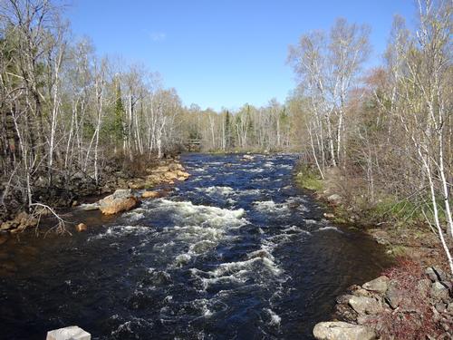
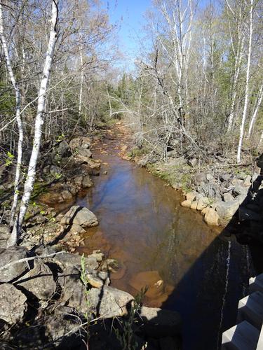
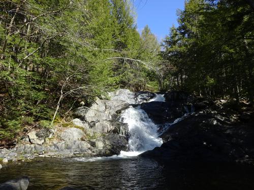
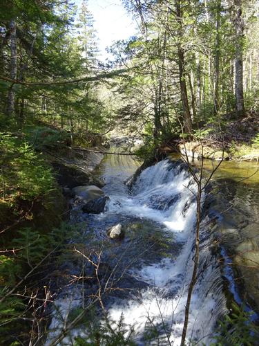
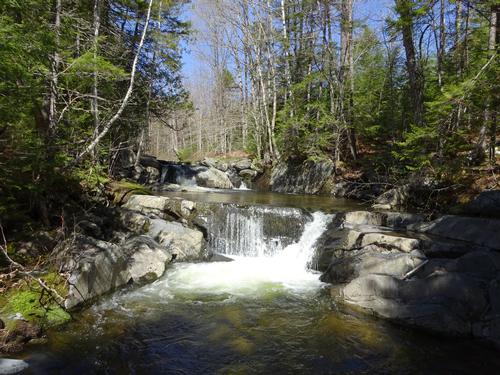
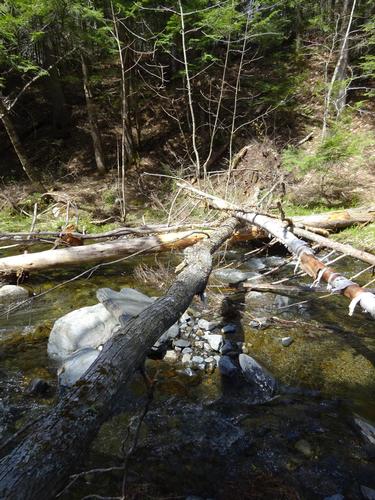
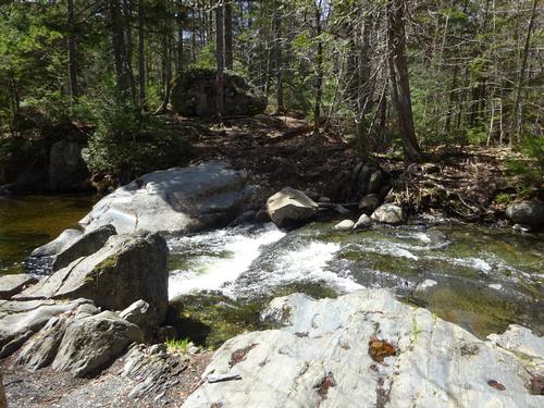
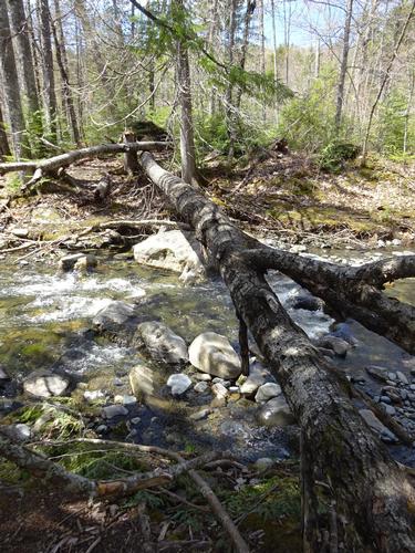
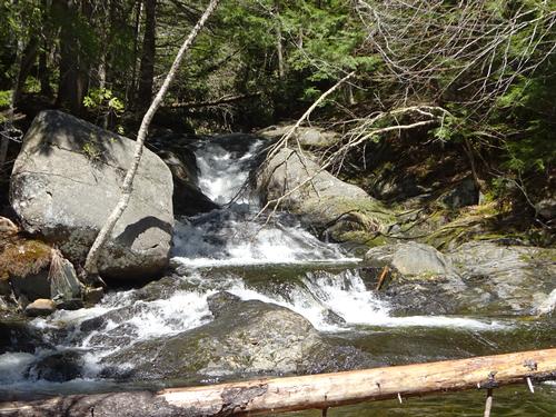
Above the main waterfall at Hay Brook there are several smaller waterfalls that I also checked out before continuing on to Gulf Hagas. The water in Hay Brook was not extremely high, but it was high enough where rock hopping across wasn't possible. I managed to find a fallen tree to shimmy across.
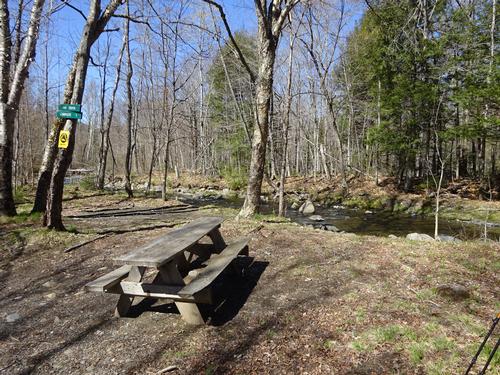
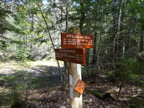
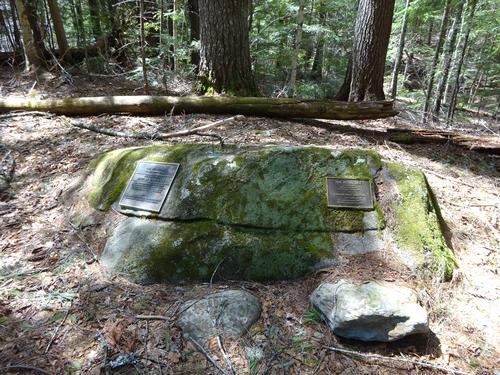
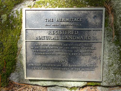
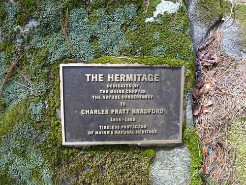
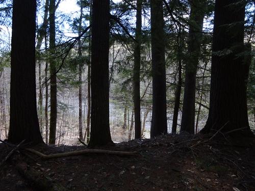
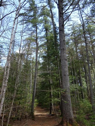
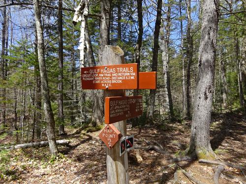
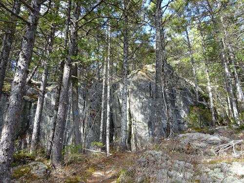
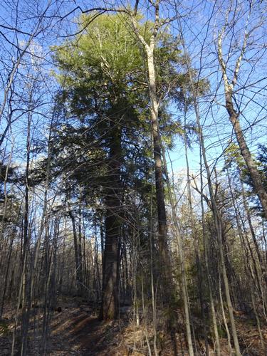
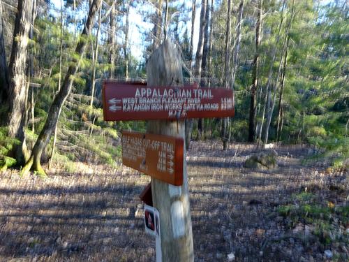
The trail from Hay Brook joins the Appalachian Trail at The Hermitage. This is a stand of old growth pine trees and a hermit used to live there in the 1890's. Before continuing on I took the A.T southbound to check out where the trail fords the West Branch Pleasant River. I turned around and continued to Gulf Hagas, stopping at the plaques at the Hermitage along the way.
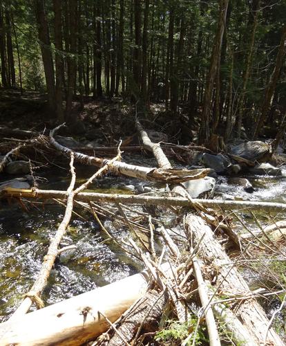
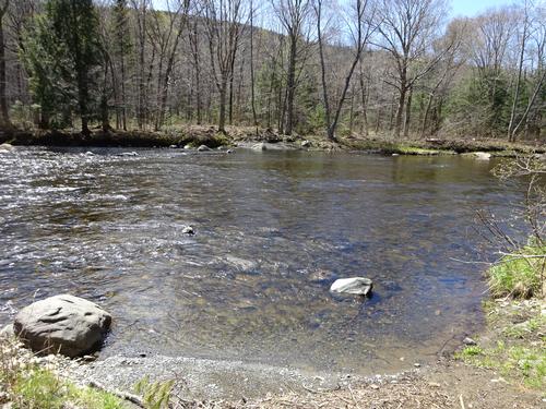
As with Hay Brook the water wasn't extremely high in Gulf Hagas Brook, but was high enough where rock hopping wasn't possible. There was also a fallen tree to shimmy across.
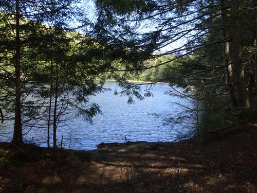
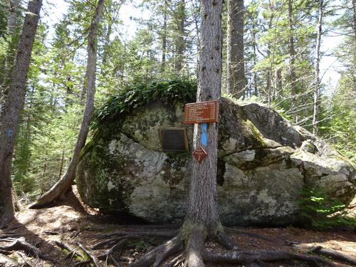
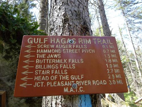
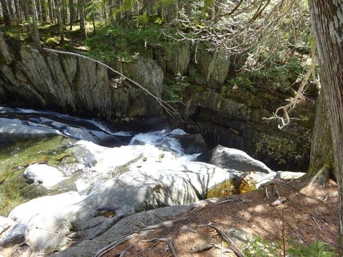
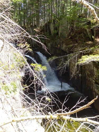
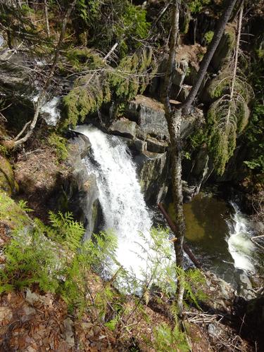
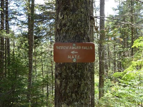
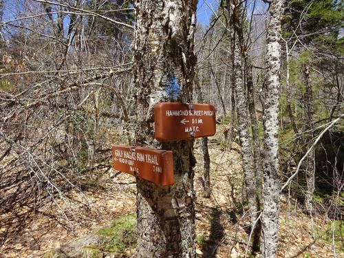
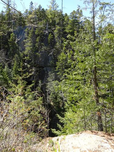
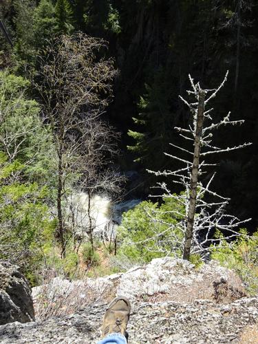
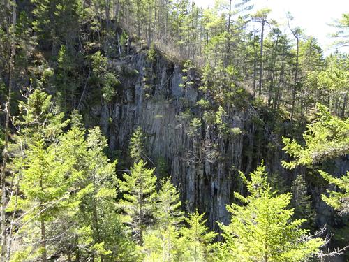
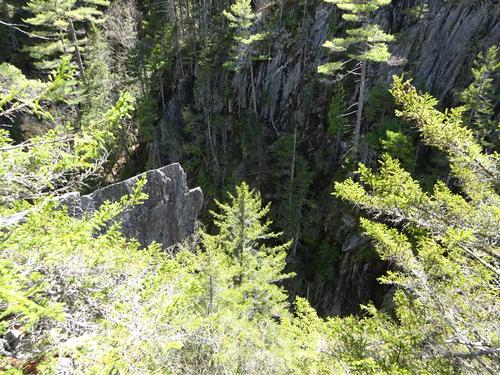
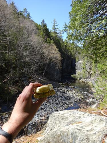
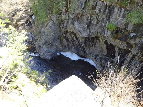
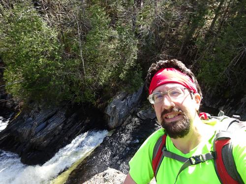
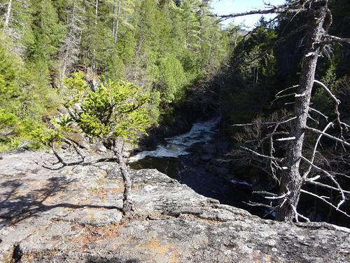
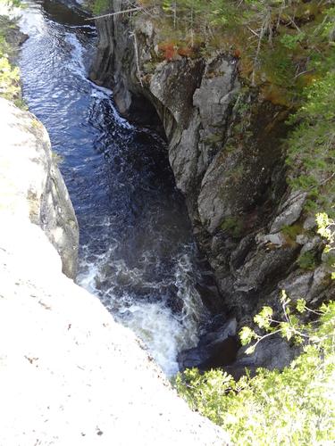
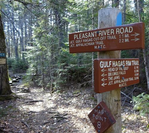
The loop trail starts on the opposite side of Gulf Hagas Brook, which is 1.8 miles from Hay Brook. The first waterfall on the loop was Screw Auger Falls. The next viewpoint was at Hammond Street Pitch. This is the deepest part of the gorge, over 100 feet down to the river.
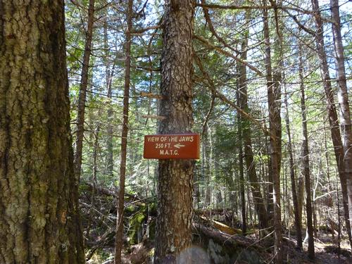
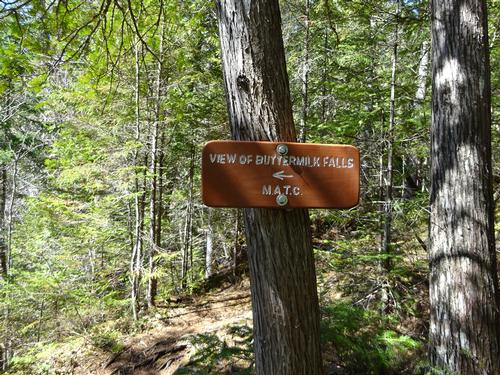
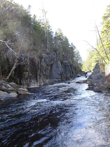
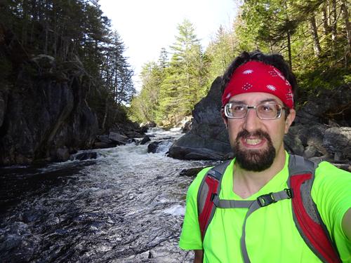
I continued on to The Jaws, the narrowest part of the gorge. Back in the days of the log drives they actually used dynamite to widen parts of the gorge. The next major view was Buttermilk Falls.
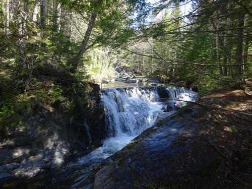
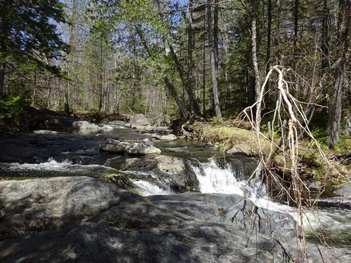
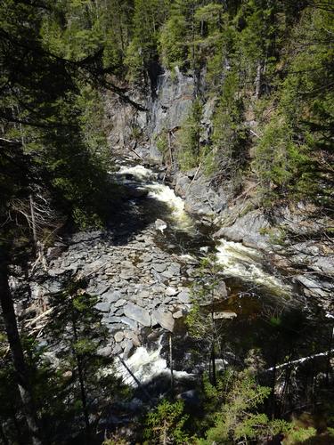
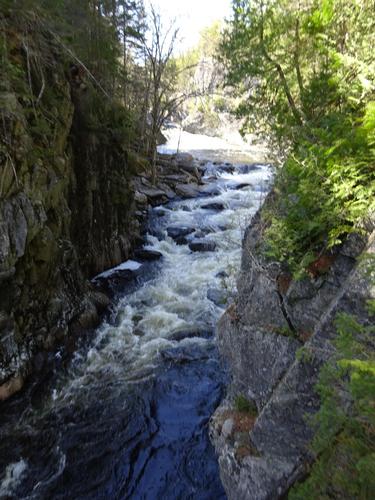
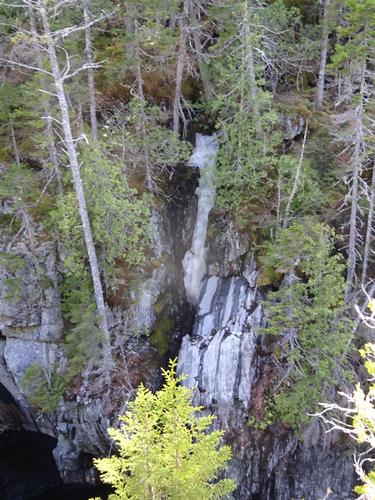
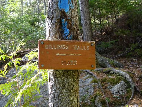
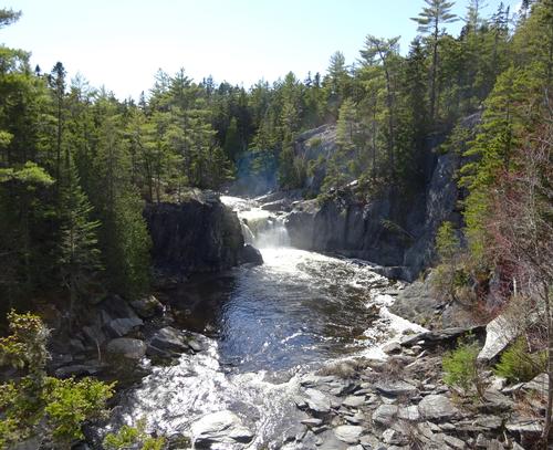
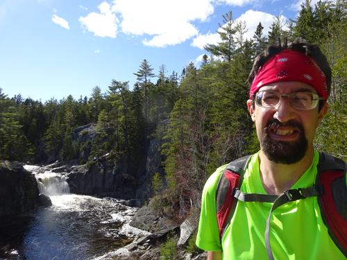
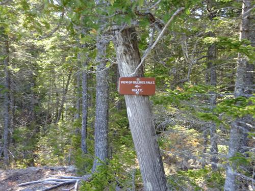
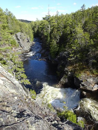
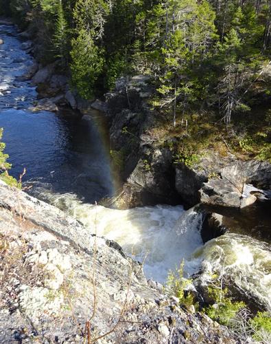
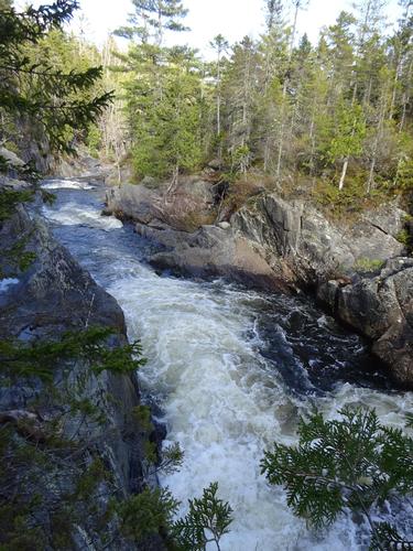
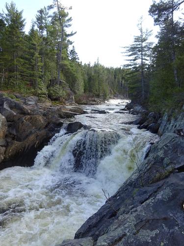
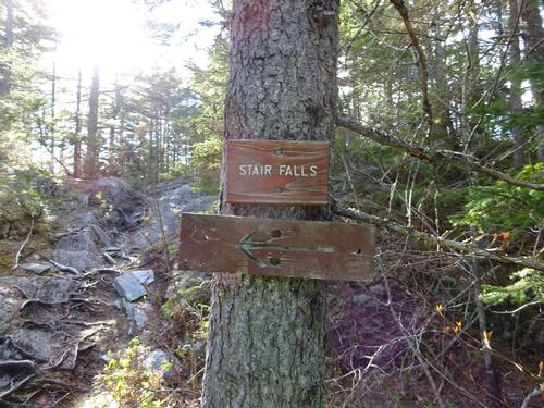
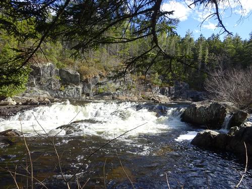
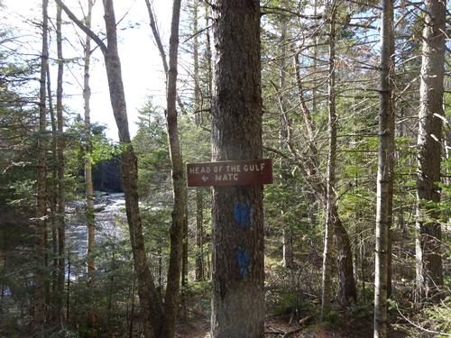
For the next mile after Buttermilk Falls there are several smaller waterfalls and rapids along the river. The next major waterfall is Billings Falls, one of the most spectacular falls at Gulf Hagas. Just a short distance beyond Billings Falls is Stair Falls and immediately after that is the Head of the Gulf.
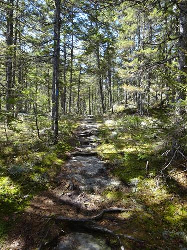
The trail leaves the river at the Head of the Gulf and in 0.1 miles reaches an old tote road that the trail follows for 2.2 miles back to Gulf Hagas Brook. This was much easier and faster going than the Rim Trail. From Gulf Hagas Brook I retraced my steps back to Hay Brook.
This was a very long day for me. I was up for over 20 hours. Gulf Hagas is 152 miles from home. It took me 4 hours to drive there and 3.75 hours to drive back home; including stops.
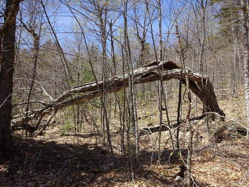
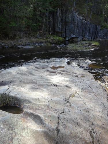
The hike took longer than I had planned. I figured maybe 7 hours, but it was actually 9 hours 20 min. The main reasons for the longer amount of time was I spent 50 min. at the waterfalls at Hay Brook when I thought it would be more like 20 min. The biggest factor was the time spent exploring and taking pictures. I took 240 pictures on this trip, and I went to places along the river and gorge that weren't typical viewpoints. If I could see a spot where I could get down to the river safely I'd do it. There were a few trees down over the trail that also slowed me down some.
My estimate for mileage is 10 miles, but with all the little side trips to viewpoints the mileage was most likely longer. My estimate is based on trail signs and a brochure on the trails. I had estimated a total elevation gain of around 1,000 feet and this was based on what people posted on AllTrails. With all my back and forth from the Rim Trail down into the gorge and back up, the elevation gain would be more than that.
The weather was perfect and I even got a tan. I met 3 couples on the hike, each with a dog.
***
I tried to narrow down the 240 pictures to a more manageable level for this report. I really didn't want to cut more once I got down to 127.
Event photos (127)

Reactions
Log in to react to this trip report.
About this event
Gulf Hagas is a 3-mile long gorge created by the West Branch of the Pleasant River. There are several waterfalls along this stretch. It is located in the 100 Mile Wilderness section of the Appalachian Trail.
The trail we'll be using starts at Hay Brook. Before starting the hike to Gulf Hagas we'll take a short detour up Hay Brook to Hay Brook Falls and return to where the trail fords Hay Brook.
The trail from Hay Brook joins the Appalachian Trail at The Hermitage. This is an area of old growth pine trees. A hermit actually lived here in the 1890's.
1.7 miles into the hike the trail reaches the start of the Gulf Hagas Rim Trail. The trail fords Gulf Hagas Brook at this point. Screw Auger Falls is the first waterfall we'll see on the Rim Trail, located on Gulf Hagas Brook. The next major viewpoint is Hammond Street Pitch. This is the deepest part of the gorge, over 100 feet down to the river. A short distance beyond Hammond Street Pitch the trail follows the rim of the gorge and river for the next 2 miles. We'll see The Jaws, Buttermilk Falls, Billings Falls, and Stair Falls. After Stair Falls is the Head of the Gulf where the trail leaves the river. The trail follows an old tote road for 2.2 miles back to Gulf Hagas Brook, where we'll retrace our steps back to Hay Brook.
The entire hike is about 9.8 miles with an elevation gain of around 1,000 feet.
The route could be shortened to 6.5 miles with 2 vehicles.
Plan 6-7 hours for this hike. The Rim Trail along the gorge is rather rugged in spots. I also like to take a lot pictures. :)
Up to an inch of rain is expected between Wednesday and Thursday, so there should be plenty of water. The hike requires a ford of Hay Brook and Gulf Hagas Brook on the hike in and again on the hike out. Might be able to avoid the ford of Gulf Hagas Brook, as there is a tree there to shimmy across. There is a video on Facebook of a lady doing that back on April 13.
** A few notes on access **.
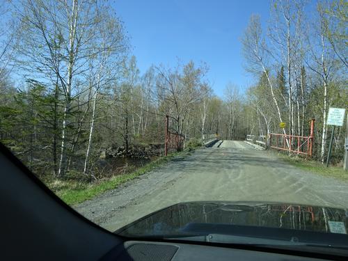
The roads to the trailhead are private logging roads and are "pass at your own risk". The landowner's and workers are not responsible for any accidents.
Hay Brook is not the typical access point to Gulf Hagas. The road to Hay Brook is best traveled with a pickup truck or SUV. -- Something with good ground clearance. Possible beaver activity 0.3 miles from the trailhead might cause an issue. I want to use this route to avoid having to ford the West Branch of the Pleasant River and because I also want to visit Hay Brook Falls.
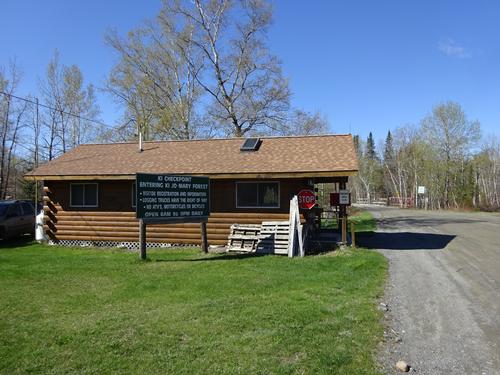
Gulf Hagas is located within the boundaries of the Katahdin Iron Works (KI) / Jo-Mary Multiple Use Forest. Visitors are required to stop and register at a checkpoint and pay fees. Cash or checks only.
Maine resident fee is $12 per person per day.
Non-resident fee is $16 per person per day.
Under 18 and 70+ is free.
** Cell phones will not work in this area.
There are several options for overnight accommodations: There are primitive campsites close to Gulf Hags. There are AMC lodges nearby, but I don't think they are open for the season yet. There are also campgrounds in Brownville, the Millinocket area, and Greenville. There are motels in the Millinocket area and Greenville.
Who came along (1)
 GUEST MEMBER
Comments
No comments yet.
Log in to join the conversation.