
The trip report
Written by a member
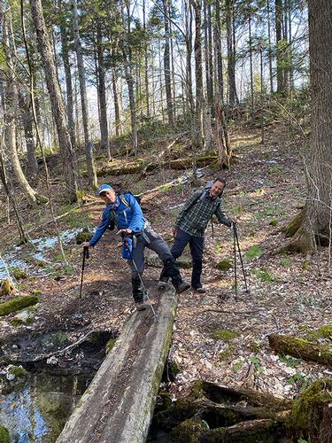
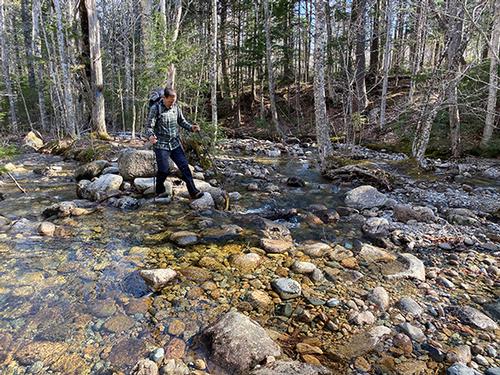
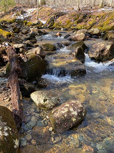
Our Garfield Trail hike was a pleasant hike from start to finish. Carlos, Ricardo and I met up at the parking area (by the gate) off Rt 3 on the Gale River Loop Road at 8am. After the mile or so hike up the road to the Garfield Trail Trailhead, we officially began the hike by climbing up the built-in steps of a small mound and following the crest of a ridge for a short distance. The trail soon connected to the old fire tower road, crossed a couple of brooks and continued to gradually ascend the mountain.
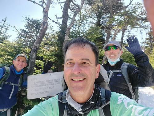
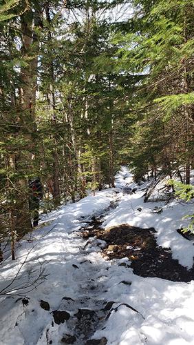
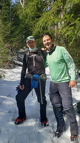
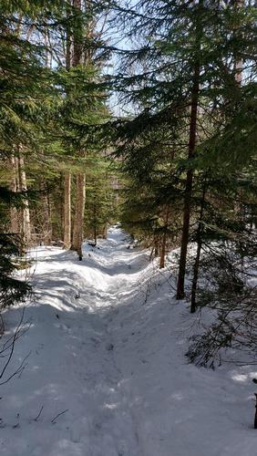
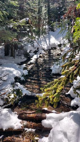
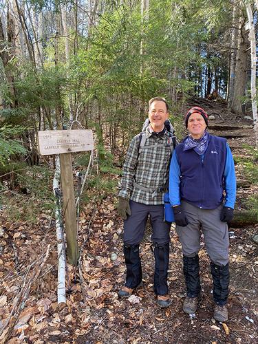
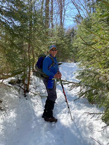
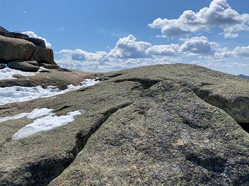
Garfield trail continues a steady but comfortable climb up the mountain, which is why it's so popular. The sun was mostly out – so meandering through the pretty sunlit woods in loose switchbacks more than made up for the muddy sections in the lower third. Snow appeared gradually starting about 1/2 way up and eventually it was thick enough for the spikes to go on. We finally reached the Garfield Ridge Trail/Appalachian Trail junction (note the tasteful selfie) and then made the big push up to the summit, which is by far the most difficult section of the hike. Sure it was only .02 mile, but after being lulled into a false sense of ease, the steep grade was humbling to say the least.
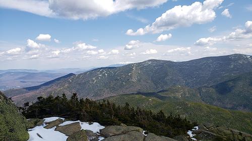
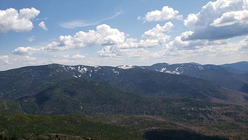
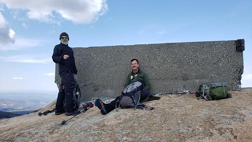
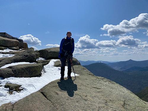
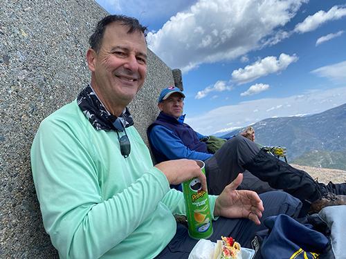
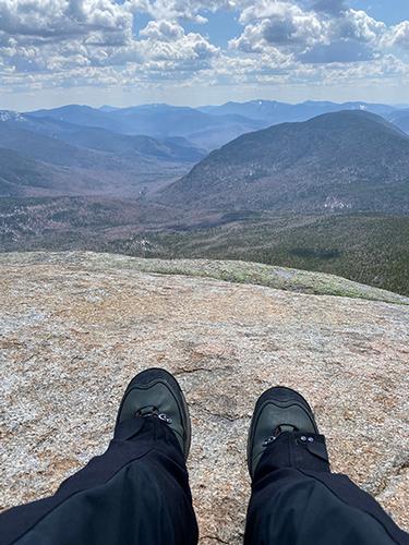
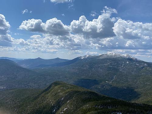
We arrived at the ledges and the base of the old fire tower at about noon and had the place to ourselves. The 360-degree view was gorgeous, consisting of a great view of the rugged Pemigewasset Wilderness to the south, Mt. Lafayette and Lincoln to the west, and Mt. Bond, North and South Twin Mtn.to the east. The sun was out the whole time we were on the summit. The wind (which was nonexistent before) kicked in, but wasn't too bad at all, nowhere near what was predicted. We hunkered down on the sheltered side of the base of the fire tower and had lunch. The air was a blue as can be, with fluffy show moving cumulous clouds, just perfect. But as soon as Carlos and Ricardo started seriously proposing a nap in the sunshine I got us moving again.
When we headed back down the snow had gotten slushier from the warmish day and sunlight, so we were actually happy to get back to just mud and rocks. A gentle hike out and all downhill, you couldn't ask for more from an 11 miler and a 4500 peak. Great hike!
Event photos (20)
Reactions
Log in to react to this trip report.
About this event
This ledge top four thousand footer has one of the premier viewing perches in the Whites!
The round trip is 12.5 miles with 3,000' of elevation gain. If you are not in peak hiking condition (I'm not) I'd say it may feel more like a strenous than moderate hike, primarily due to the length.
Mt. Garfield, located northeast of Mt. Lafayette and Franconia Ridge in New Hampshire's White Mountains in the 14th highest among the 4,000 foot peaks. What makes this mountain stand out from many of the other White Mountains in the relative ease of the hike to top via the Garfield Trail from the Gale River Loop Road [off Route 3] and the grand view from the top looking at the Pemigewasset Wilderness towards the south! The last .2 mile on Garfield Ridge Trail is the only steep section to the magnificent 360-degree views from the 4500' summit.
We’ll be using the Mt. Garfield Trail, an old tractor road, hence the grades are easy and the footing is good. There are a few brook crossings. While there are no views along the trail, the views from the summit are excellent. If this is the first time on this peak, you climb in the forest, emerge over a ridge and then you'll get WOWED with the view of the Pemigewasset Wilderness!
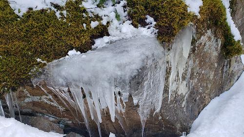
The White Mountains can have unpredictable and extreme weather changes year-round so April is definitely worth paying attention to. We will be hiking in late winter conditions at a moderate pace. There will be ice and snow. Light tracking devices are mandatory and (although unlikely) we may need snowshoes if there was a recent snowstorm. Trail conditions will be emailed mid week prior to the hiking day. Light traction can be either Kahtoola MicroSpikes or Hillsounds Crampons. Please have the appropriate gear/clothing to hike this time of year and the appropriate amount of layers to keep your core body warm. We recommend winter hiking boots, wool hat, gloves, hand warmers, rain/wind gear, sunscreen, warm layers, headlamp and NO COTTON. Carry at least 2 liters of water, lunch and snacks.
Covid – Please bring a mask or face covering for the parking area and to use when in close proximity to others (i.e.,when passing others on the trail).
Total Distance and Elevation Gain: 12.5 miles (10 miles with an additional 2.5 miles due to the parking location) with approximately 3000 feet in accumulative elevation gain.
Total Time: Approximately 7-8 hours depending on breaks and group's speed.
Event Coordinators: David Byrnes

Comments
No comments yet.
Log in to join the conversation.