
AT Hike- 14.2 Miles - Jones Meadow to Devil Fork Gap
Very pleasant but strenuous hike.
The trip report
Written by dnaturist
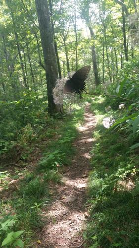
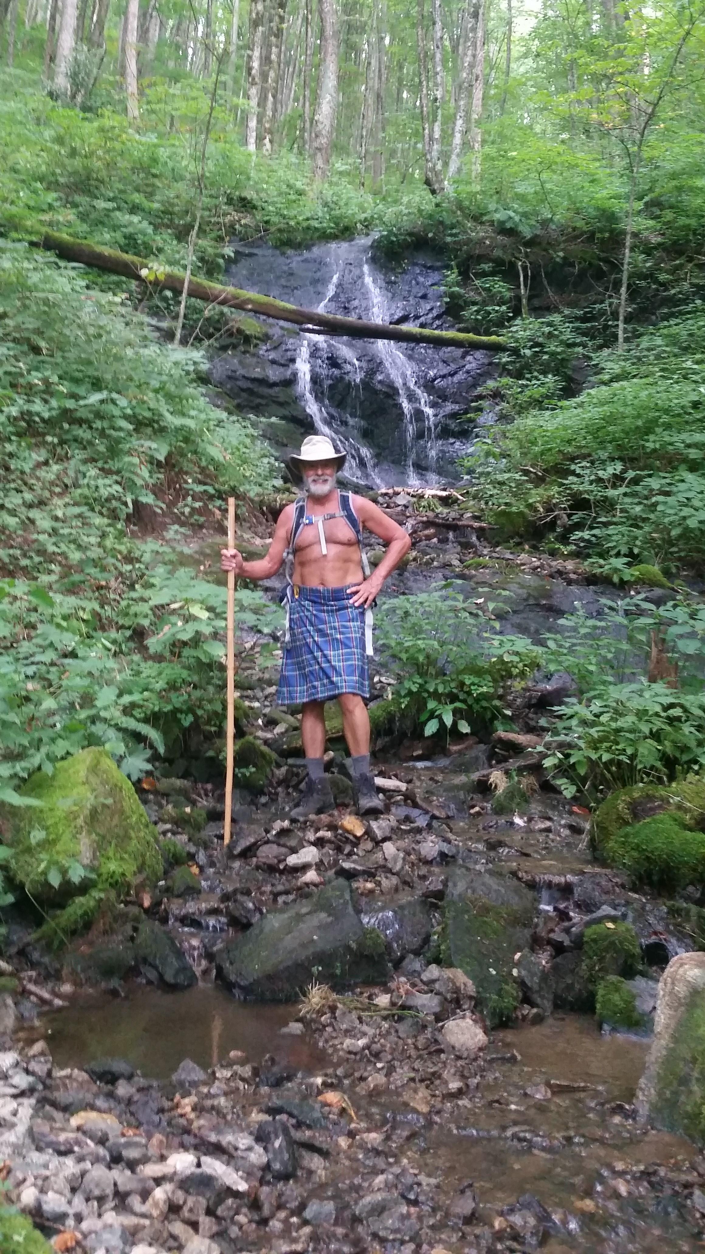
There were two of us on this beautiful AT hike. We had great weather and a nice breeze stayed with us all day.
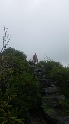
This was a strenuous hike do to distance and the first two miles of the trail. The trail started off rather rocky and quickly ascended to a rocky exposed ridge line. There was a plaque in the middle of the ridge line for the gentleman that helped form that section of the trail. Designed and worked on the placing the stone staircases that were a great help in getting through this section of the AT.
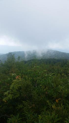
The hike started at its high point and slowly made its way down with many rocky ups and downs. While walking the ridge line we had clear skies and nice views to the east, and clouds forming in the valley to the west.
At about the 5.5 mile mark of our hike we came to Jerry Cabin Shelter. Here we stopped for lunch. This shelter had a fireplace from the old cabin that was here. From the shelter we headed up hill to Big Rock and Big Butt Mountain, a long climb of about 3 miles. From Big Butt Mountain we began our long descent (5.5 miles) to Devil Fork Gap and the end of our hike.
We were on the trail for 8 hours. This hike had us driving for 4 hours that day, as it was a full hour between trailheads.
Event photos (5)
Reactions
Log in to react to this trip report.
About this event
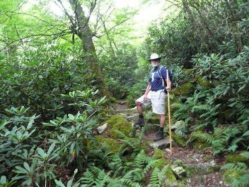
The hike will leave the parking area of Jones Meadow on a spur trail (0.2 Miles) to the AT at Camp Creek Bald (4844 ft). At about 0.8 miles the trail descends through a thick stand of rhododendrons and continues to circle the summit of Camp Creek Bald. At the 2 mile mark we will come to a side trail that leads to White Rock Cliffs, with views of Mt. Mitchell and the Black Mts. From there we descend to Bearwallow Gap (3940 ft.)
The AT continues through rhododendrons and wide wet trails. The trail returns to a ridge top at about 4.4 miles. At about 5.4 miles the trail comes to a broad grassy area and the Jerry Cabin Shelter. A good place for lunch. Then the trial begins the ascent to Big Rock (4838 ft.) at about the 7.3 mile mark. Scramble down Big Rock to a large meadow with brambles and views of the Nolichucky River valley.
At about 8.8 miles are the Shelton graves. William and David Shelton were Union soldiers during the War Between the States. From here the trail begins a long descent to Flint Gap at about 10.5 miles, then an ascent of about 0.5 miles to Flint Mt. Shelter. From here the AT meanders down a seris of ridges, with easy ups and downs. Then one last short, steep climb before descending to Devil Fork Gap.
Plan on spending 8 to 9 hours on the trail.
Who came along (2)
 GUEST MEMBER
  GUEST MEMBER
Comments
No comments yet.
Log in to join the conversation.