
AT Hike - 13.6 miles - Sams Gap to Spivey Gap
A beautiful day of hiking on the AT.
The trip report
Written by dnaturist
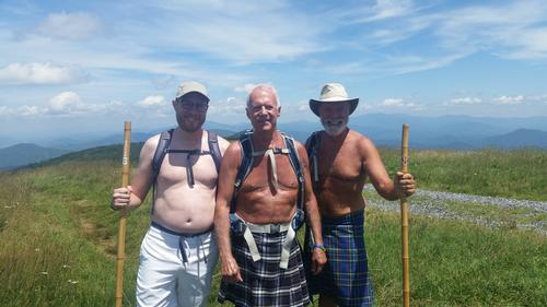
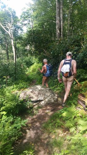
Three of us went on this nice hike with great weather. A slight breeze accompanied us all day.
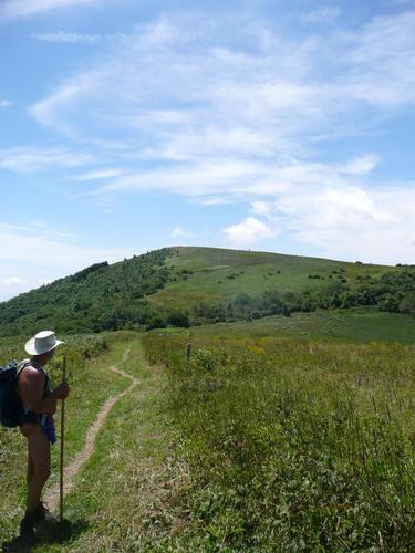
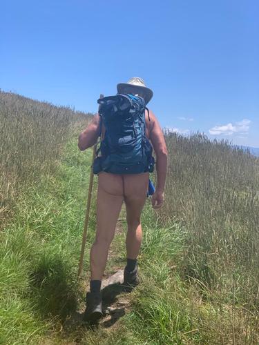
The hike satrted at the NC/Tenn border on the NC side. The beginning of the hike had lots of mild ups and downs until we reached the approach to Big Bald, where we started a stiff climb at about the 6 mile mark. We stopped for lunch on top of Big Bald and chatted with a couple of other hikers.
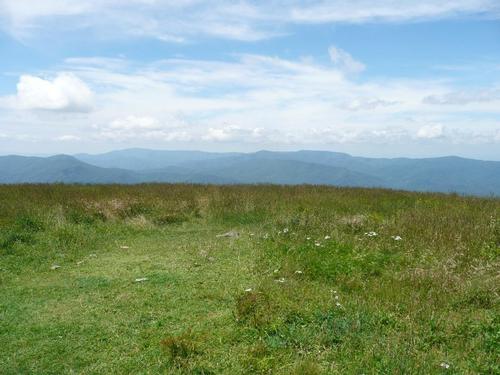
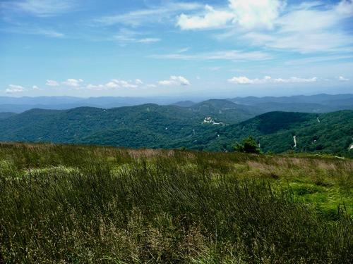
It was a nice long walk across the bald. Lots of meadow walking. Again lots of gentle ups and downs until we reached Little Bald (now covered with trees) where we began our steep descent until reaching Whistling Gap. From there we had a good climb to High Rocks before our final descent to Spivey Gap.
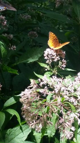
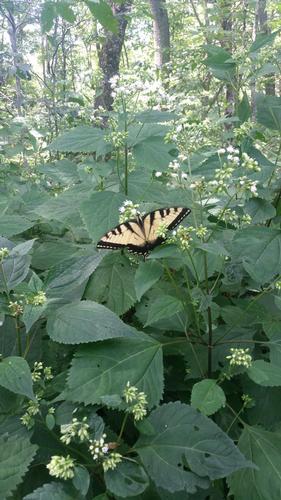
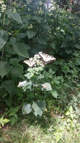
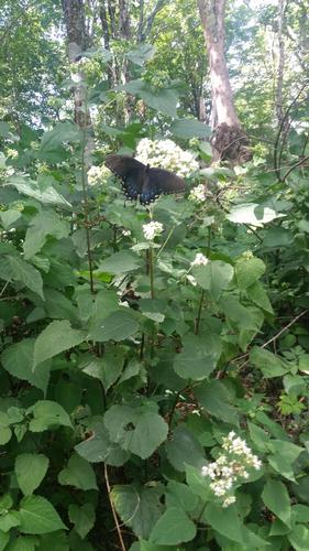
At times I though I was in a butterfly forest.
Event photos (11)
Reactions
Log in to react to this trip report.
About this event
This will be a one-way south to north hike on the AT, along the NC/Tenn border. This 13.6 mile hike will require an auto shuttle. The hike itself should be considered strenuous.
The first section of the hike runs to the northeast with moderate hiking and little elevation gain. The knobs near Spivey Gap offer a little more challenge.
About 2 miles into the hike the trail crests a small hill with a cleared field and a view of Big Bald. At the 6.1 mile mark we will see a Big Blad bypass trail (Big Bald can be dangerous in bad weather).After the intersection, a short climb brings us to the edge of Big Bald at 6.5 miles and the the top at 6.8 miles (5516 ft.). From here the view to the east is the dark spruce covered Unaka Mt. with the lighter Beauty Spot Bald in front of it and Mount Mitchell more distant. From here we begin our descent.
After gentle ups and downs the AT climbs to Little Bald (5185 ft.) at mile 9.3. The trail descends steeply at first and then easily along a crest of a ridge to Whistling Gap at 11.2 miles. At 11.6 miles a blue-blazed trail (0.1 mile) leads to High Rocks, a good place to sun-bathe. From High Rocks it is all down hill to Spivey Gap. At 12.2 miles the descent becomes easier with views of the Nolichucky River Valley.
Who came along (2)
 GUEST MEMBER
  GUEST MEMBER
Comments
No comments yet.
Log in to join the conversation.