
Bull Run Occoquan Trail
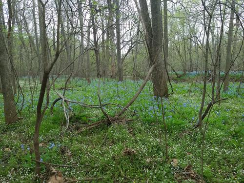
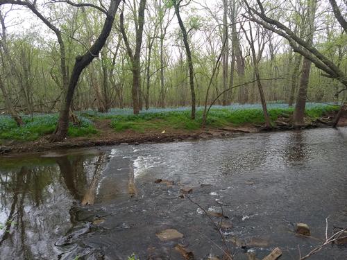
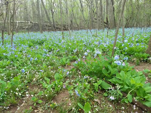
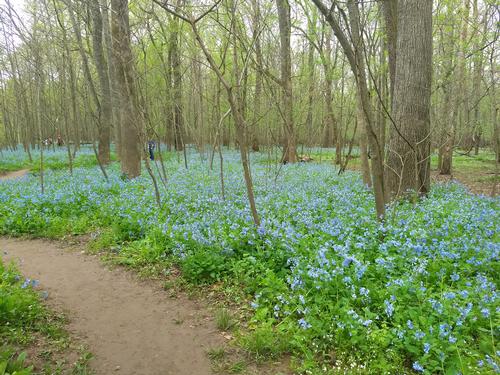
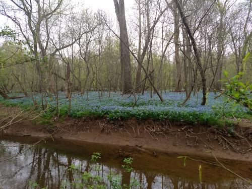
Great views of the bluebells in bloom
The trip report
Written by a former member
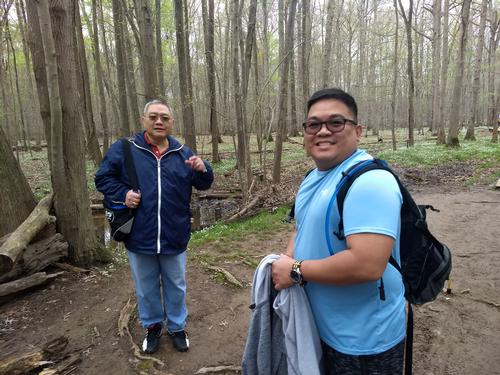
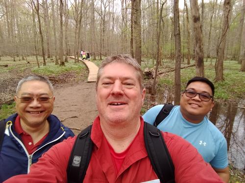
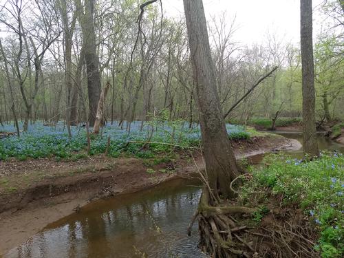
We hit the trailhead late to accommodate a lost driver coming from Baltimore, but all three of us headed out around 11 a.m. We hiked down the boardwalk and towards Bull Run (river) hit the river and then turned right with a sea of Virginia Bluebells everywhere—thousands on the opposite bank of the river and our side of the river. It was peak Bluebell bloom time and there were plenty of photographers and families taking pictures. It was a cloudy and overcast day, but warm and humid.
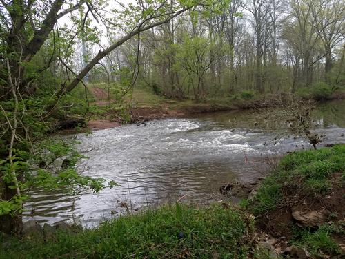
We proceeded down the path until we came to the left turn to the Bull Run Occoquan Trail leaving most of the flower chasers behind and enjoyed a quiet hike. The trail was muddy from the river overflowing its banks last winter and early spring so waterproof boots were a must. One bridge was gone so a delicate walk over some tree limbs was our only option to cross. The other remaining bridges were there plus a new bridge established by the Potomac Appalachian Trail Club, which manages this trail.
We walked along the river up a few fairly steep hills. Before the next little hill and before crossing a small stream I heard a wren singing loudly in the bushes. We walked for another 30 minutes and spotted a wood shelter high up on a bluff above the river so we took advantage of the view and the seat for a rest and a snack. This would be our turning point to head back. We walked back and although we didn’t observed any impressive birds that we say last May, we still enjoyed the local birds. We got back to our starting point around 2:00 pm, making for a good 3 hour hike and about 7 miles. This is a great gem of a park in Northern Virginia and definitely needs a revisit.
Event photos (9)
Reactions
Log in to react to this trip report.
About this event
hilly. We’ll begin at Bull Run Regional Park
The hike will begin at 10:00 am and go about 7 miles (we’ll walk 3.5 miles and then turn back to our starting point). Bring water, sturdy shoes and some snacks.
For those in the Richmond area, we’ll have breakfast at McLean’s at 7:00 a.m. before leaving at 7:45 a.m. for the drive up.
https://www.novaparks.com/parks/bull-run-occoquan-trail
History of park:
The stream valley was originally inhabited by the Indians of Taux or Doag group of the Powhatan Confederacy, who rapidly succumbed to the advance of European settle-ment. Their word “Occoquan” means “at the end of the water.” Early English colonists gave Bull Run its name, applying the name “rundle” or “run” to streams not affected by tide and thereby running in one direction. Both native and colonial Americans depended on the area for food, materials for shelter and easy transportation on the water.
During the Civil War (1861-1865), Bull Run was a strategic defense line between the north and south and was the site of two major battles, First and Second Manassas (or Bull Run). On July 18, 1861 at Blackburns Ford (near present day Route 28) a skirmish occurred preliminary to the first Battle of Manassas. Federal troops attempting to secure the crossing were driven back by Confederates under General James Longstreet.
Many earthen forts were constructed to guard strategic crossings along Bull Run. A fine example can be easily seen just above where Little Rocky Run joins Bull Run.
The railroad bridge near Popes Head Creek was destroyed several times to prevent an en-emy’s control of the rails between Richmond and Washington. Evidence of the bridge and other fortifications may be seen along or near the Bull Run Occoquan Trail.
Who came along (2)
 GUEST MEMBER
  GUEST MEMBER
Comments
No comments yet.
Log in to join the conversation.