
Mts. Lafayette and Lincoln
Franconia Ridge meets the Game of Thrones! Medieval rock formations in the clouds…dragons lurking in every corner!
The trip report
Written by Gandalf
Franconia Ridge - Mt Lafayette (5249'), Lincoln (5089'), and Little Haystack (4800')
Distance: ~ 8.9 miles
Pace: Easy does it. Guidebooks says it'll take 8 hours and they are usually right on. For us, we did it in just under 7 hours.
Trailhead: Lafayette Place, north of Lincoln, NH.
Franconia Ridge meets the Game of Thrones! Medieval rock formations in the clouds…dragons lurking in every corner!
We were thinking Lafayette and Lincoln was going to be a better day…it became a “create your own adventure” because nature won't do it for you.
At 7:30am on Saturday morning, suddenly all of the reasons and excuses were gone, and everything was ready. We were ready. We ran down our packing list one more time, made our lunch, and headed for Franconia Ridge from the Mad River Lodge.
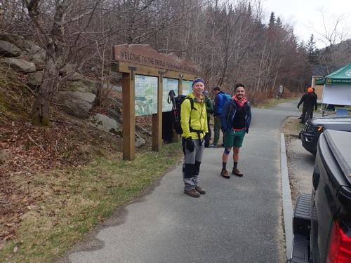
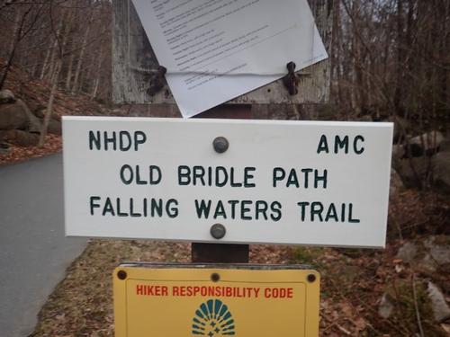
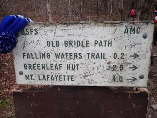
Jon and I managed to cajole another 3 enthusiastic GO members to join us. Our decision was to travel clockwise. We would begin on Old Bridle Path. Most hikers go counterclockwise.
We reached Lafayette Place around 8:00am meeting Paulo on his first GO hike. Welcome Paulo! There was an overcast above us so we could not see any peaks. The temperature was comfortable - ideal climbing weather!
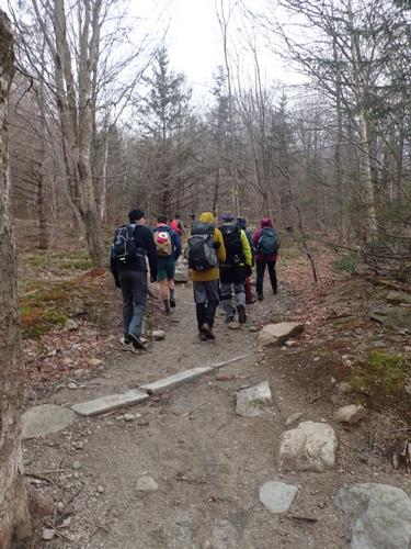
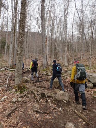
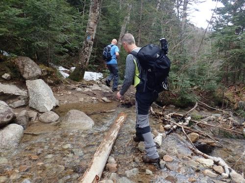
Old Bridle Path begins honestly enough, clearly heavily used but decently maintained. The footing was relatively flat for the first mile or so through beautiful hardwood forest. The trees were still bare at mid-May! Before too long, the steady ascent steepens and gives way to the wild jumbled rockiness of our glacial past.
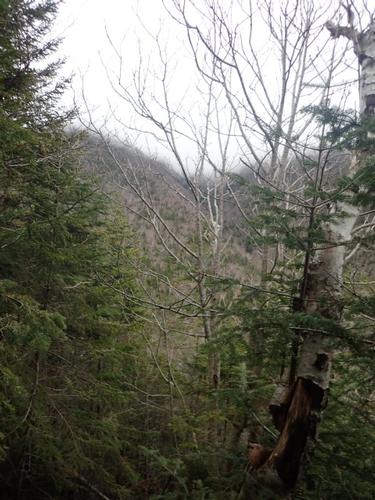
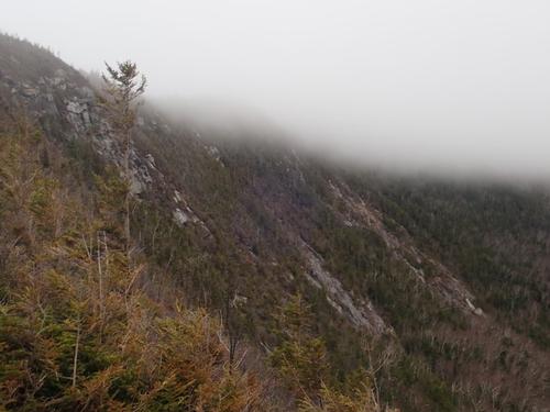
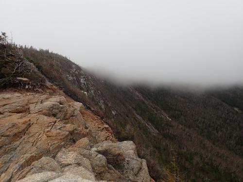
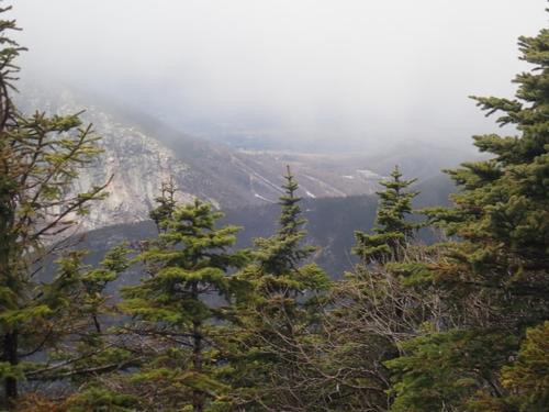
Roughly halfway to the AMC Greenleaf Hut, we arrived at the Bus Stop, a series of spectacular open ledge viewpoints on the brink of a steep drop. We could see what was waiting for us on Agony Ridge. A walk in the clouds! I like this approach because we encounter few people on the ascent.
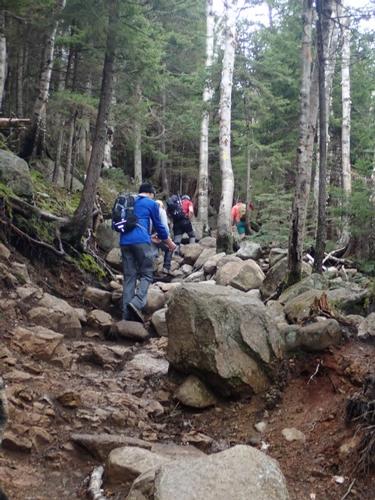
Agony Ridge, no doubt a term of endearment given by hut croo for an especially steep and especially rocky area in an area already pretty rocky and steep. There is no upper limit to what the croo will shuttle up and down; their loads could spook a yak. I think they must all keep the ibuprofen companies on speed dial.
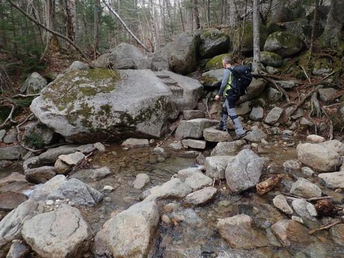
Apparently named because horses used to ferry tourists to the Lafayette summit, Old Bridle Path looked anything but passable by horse, especially several miles in, where nonstop rocky areas require some careful navigation.
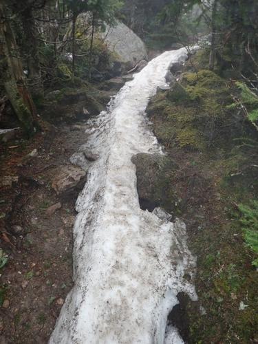
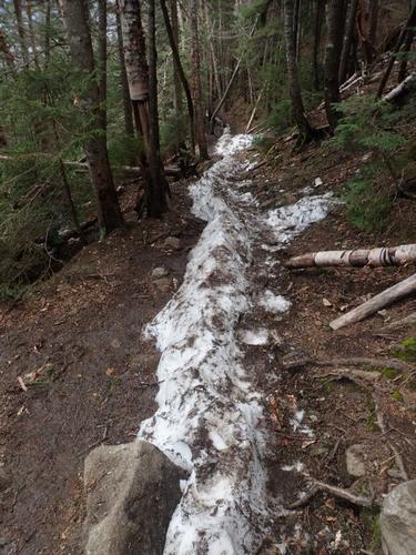
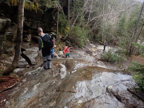
Slightly mystified, we continued moderately along The Agonies. At Red Rocks, we carefully made our way up a steep scramble up an eroded, slippery basalt dike. About ½ mile from the Greenleaf Hut we encountered a steady snow monorail but there were bare patches of trail on both sides so we did not feel a need to put on MicroSpikes.
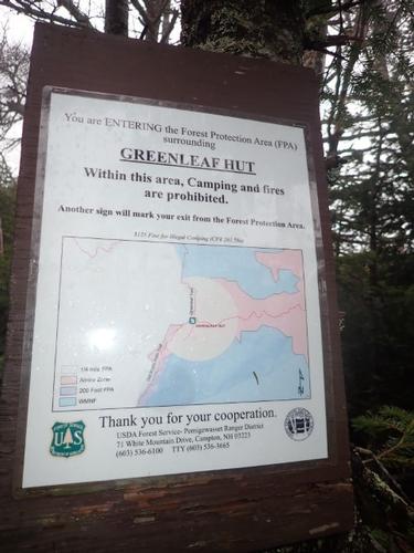
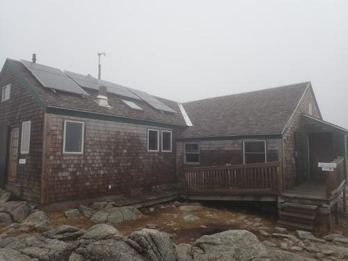
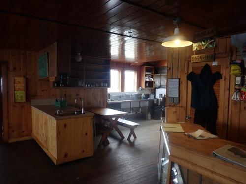
We quickly reached Greenleaf Hut (~4200') and were very surprised but also pleased that it was open! It's the third highest in elevation of the AMC huts, with only Madison Spring and Lakes of The Clouds higher. We'd traveled ~2.9 miles at this point. We went inside and took a well-deserved rest while snacking a bit. There were some other folks warming up inside and we had a nice discussion with the AMC volunteer who was greeting everyone as they walked in. The Hut was self-service at the moment so everyone had to prepare their own meals.
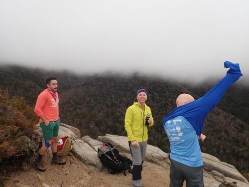
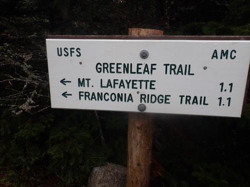
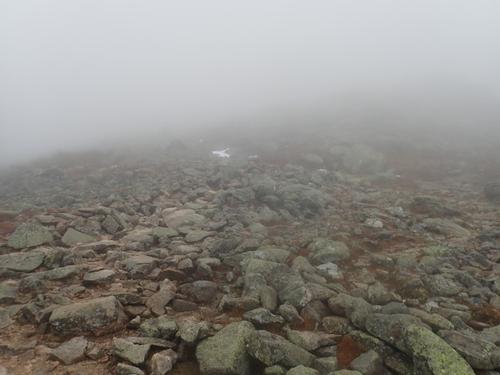
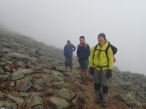
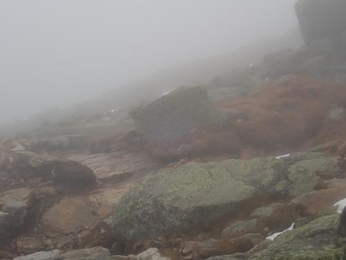
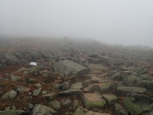
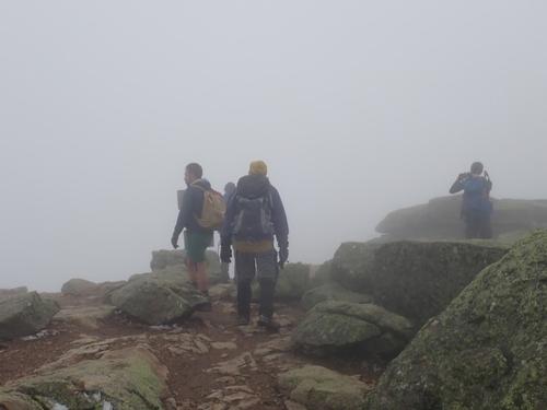
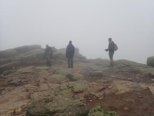
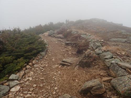
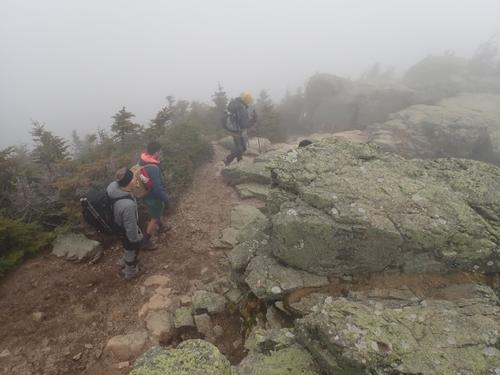
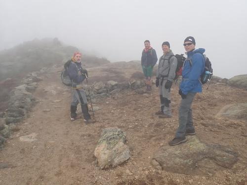
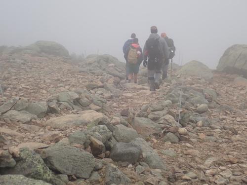
We continued on the somewhat-less-steep Greenleaf Trail for ~ 1.1 mile, passing by Eagle Lake on the way and head up into clouds. Soon, the trees went from scrubby to gone. We put on extra layers, gloves and hats. We stuck together as we scampered and ambled up in the fog through the alpine zone toward Lafayette's summit.
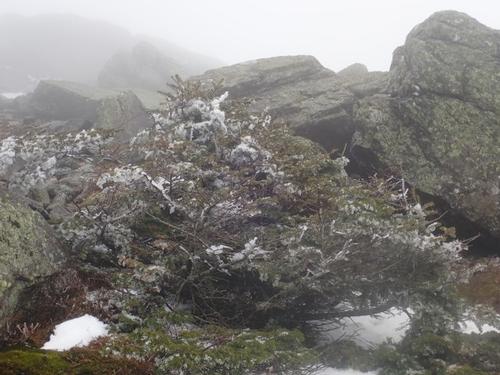
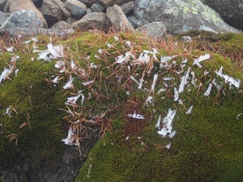
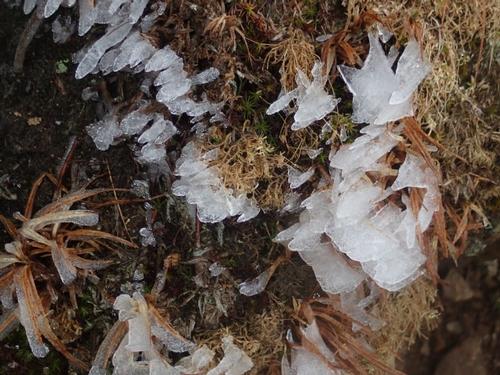
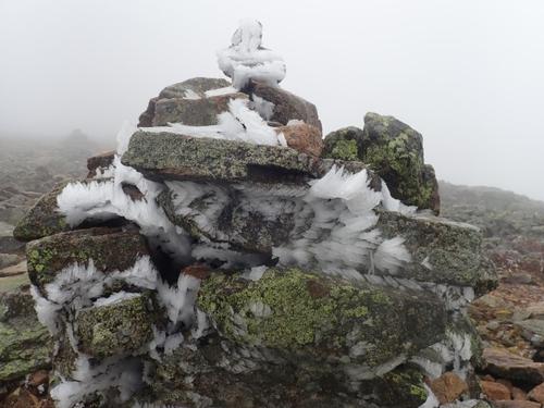
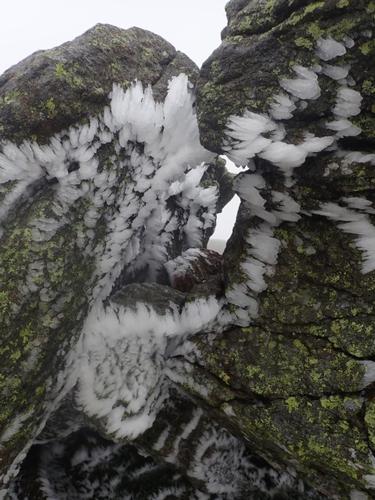
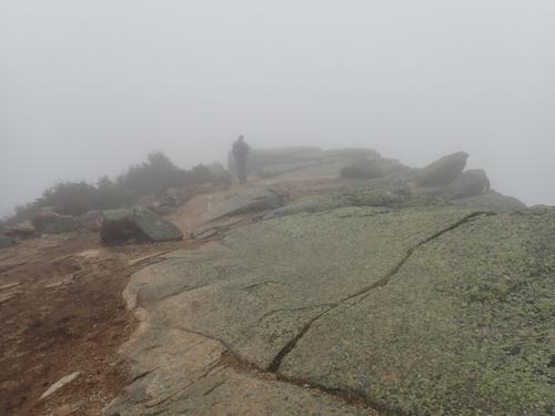
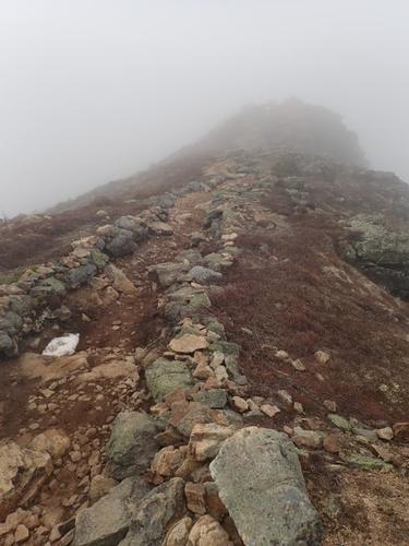
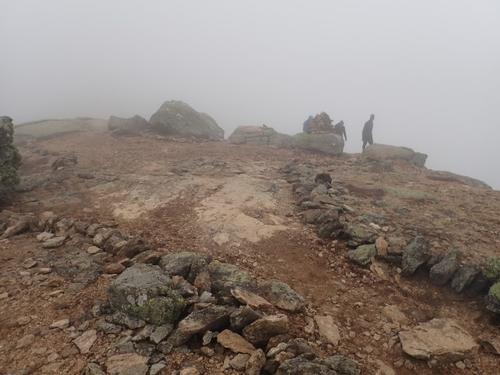
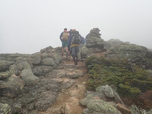
There is something akin to a silence above treeline that I find positively irresistible. I also appreciate the feeling of total isolation when hiking in the fog, omnipresent, visible yet blocking visibility, a hitchhiker picked up by every passing inhalation. Rocky paths wove upward linking hive-like cairns together like knotted string. Rime ice forming on the krumholtz and cairns reminded us that winter conditions still exist on higher summits such as these!
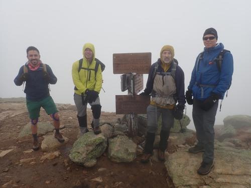
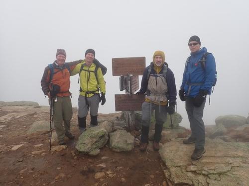
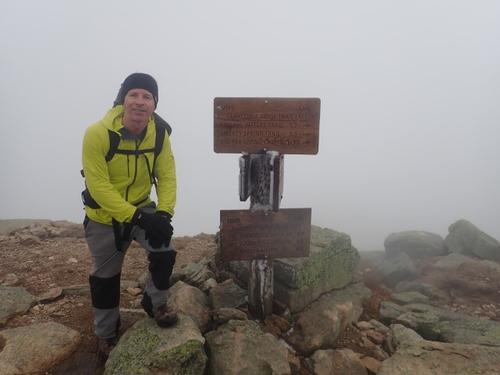
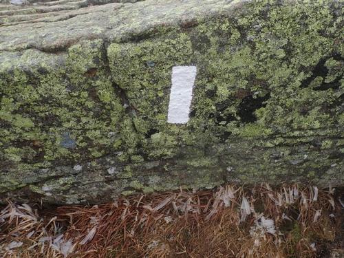
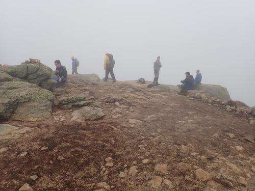
Finally, we all made it to the summit of Lafayette. We remained in the clouds. We didn’t linger long looking for a shelter spot further down for lunch. We were on the Franconia Ridge Trail which is blazed white, for it is also the Appalachian Trail. We found a spot for lunch and after about ten minutes our sojourn adjourned toward Mount Lincoln. The geographically spastic area between the much hailed summits was like no other, and in a hike of consistent badassery, it was downright extraordinary.
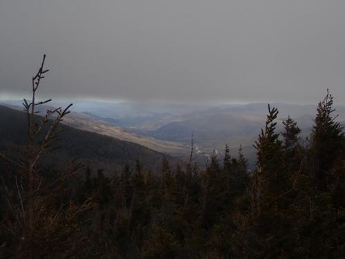
Franconia's reputation for hosting hordes of tourists was realized after Lafayette. Despite the lack of views, we easily encountered over 150 people, most being French-Canadians. We took a water break at Mount Lincoln hoping for the clouds to disperse but it never happened.
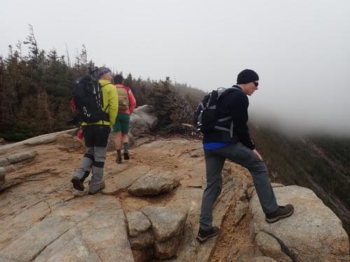
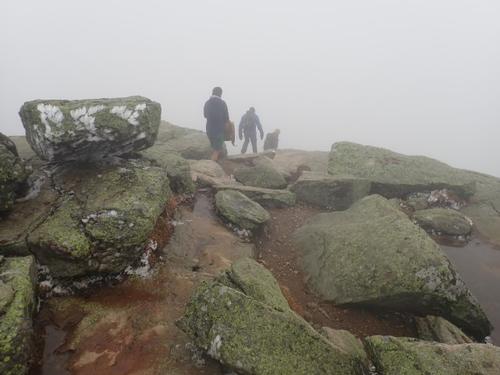
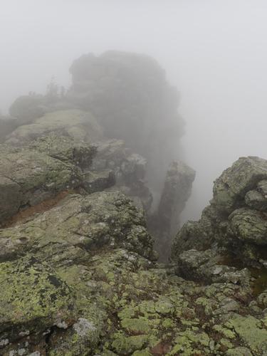
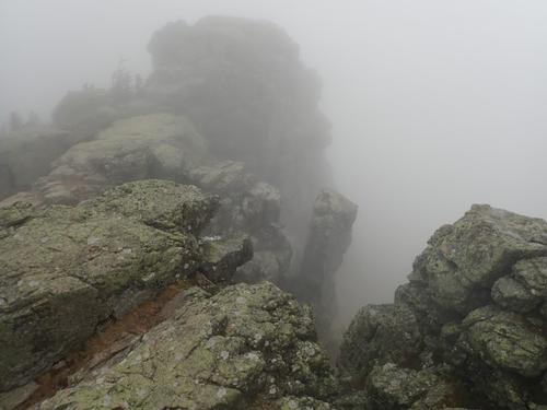
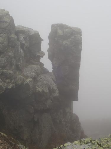
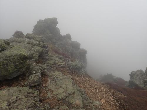
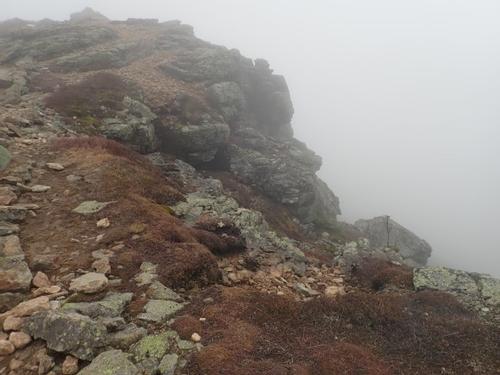
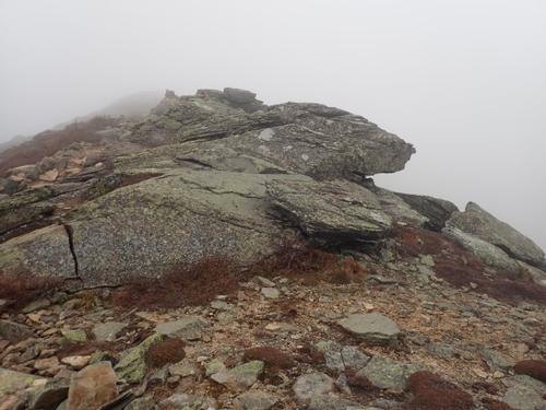
The only thing better than walking on an amazing ridge above treeline is to do it when the clouds are flying about, and the only thing better than that, is to have all of the above plus an encounter with surprise wild ginormous rocky formations. In the clouds, these medieval looking rock formations felt like we were now in the Game of Thrones with dragons lurking in every corner!
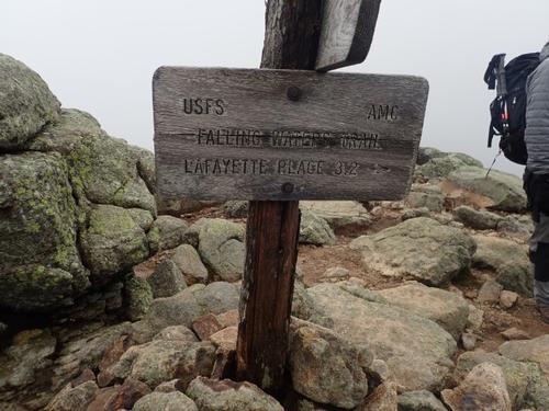
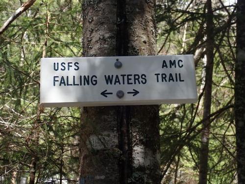
And as all the ancient texts reveal, GOers are transient beings, oft becoming skittish when not in motion. In a moment of urgency, after reaching Little Haystack, they bolted off the final summit and onto Falling Waters trail!
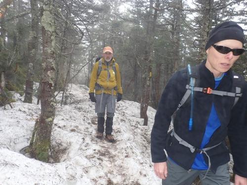
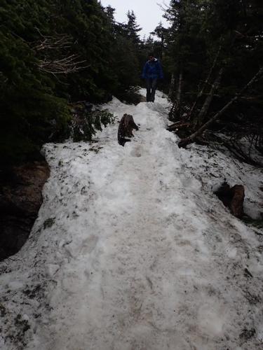
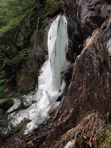
Falling Waters Trail is stepper than the Old Bridle Path, and the difference was significant. Not only that, there was a solid snow/ice monorail. It was steep as shit and rushing downward was, for me, out of the question. Self-preservation, ya know?
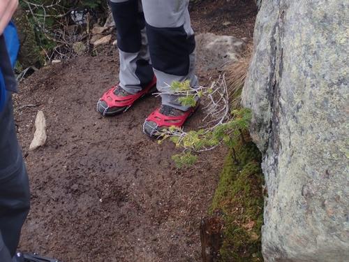
We put on MicroSpikes except for Paulo who did not have any. I lent him my poles. He post-holed a couple of times but overall he did surprisingly well for these sketchy conditions.
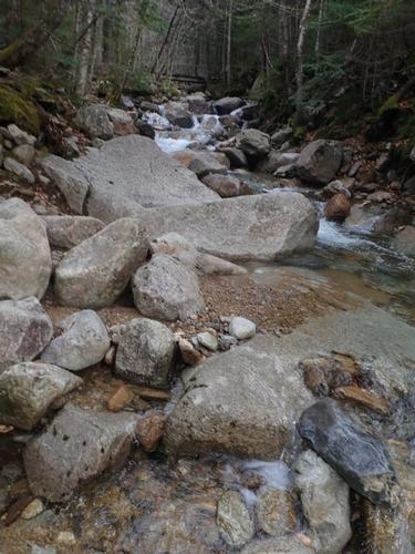
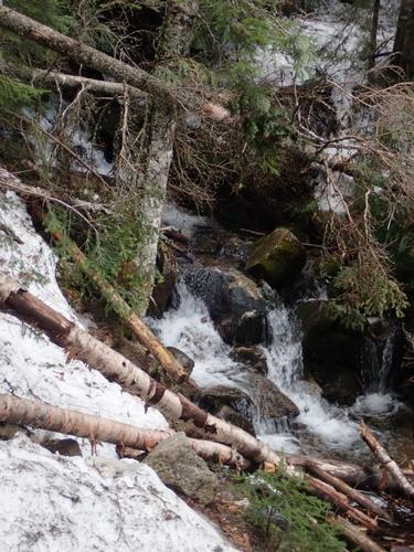
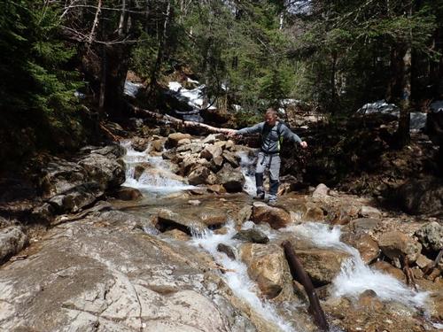
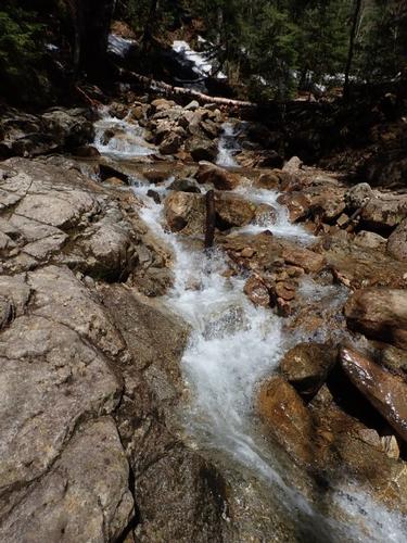
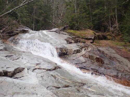
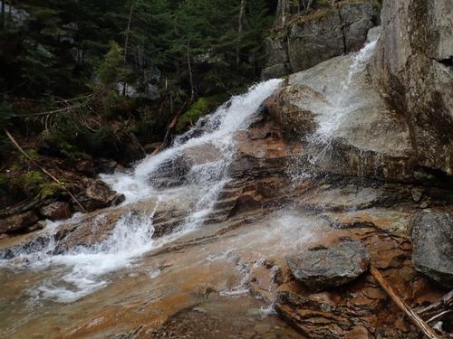
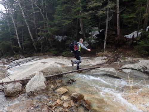
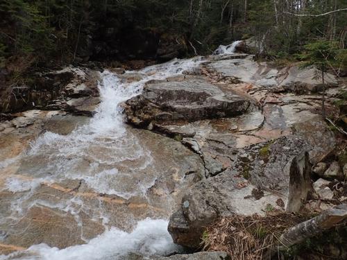
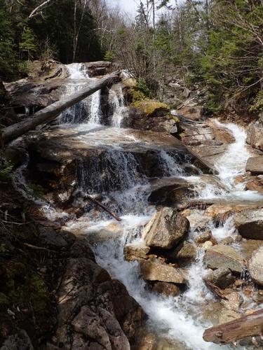
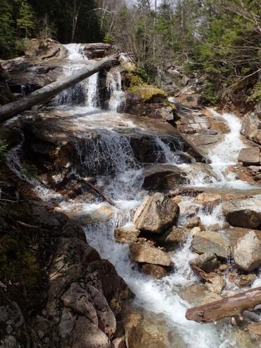
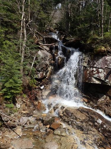
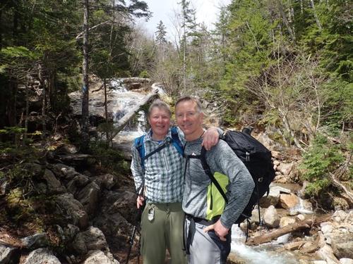
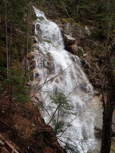
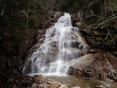
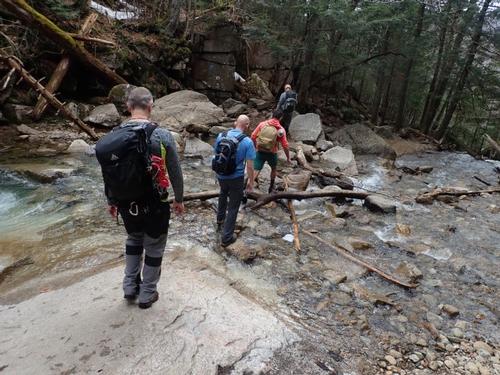
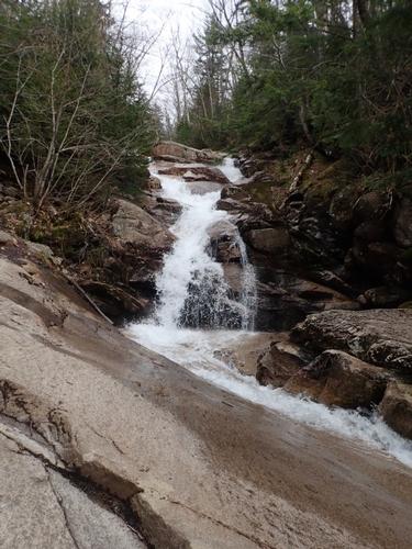
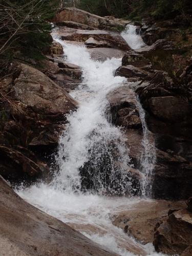
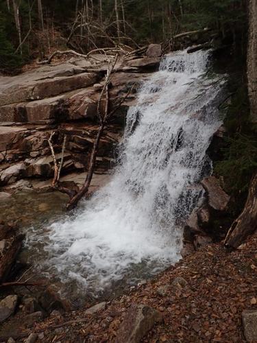
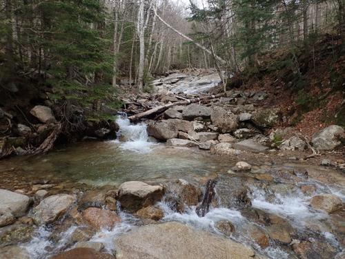
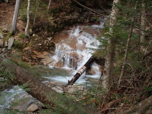
This is not to say it wasn't a really beautiful trail. I enjoyed its rather crude welcome. And true to its name, its middle/lower section was adorned with quite a few waterfalls!
We were amazed at the number of people making their way up to the ridge at mid-afternoon as we were descending. We saw it all…sneakers, boat shoes, cotton, very light packs and no traction for the walk up in the snow! A couple groups of people asked us how much further was the Hut…mmmm…this is the Falling Waters Trail…were they on the right trail?
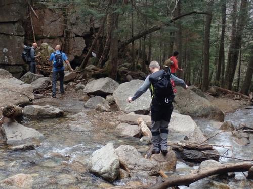
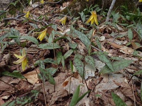
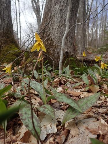
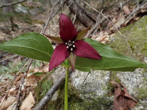
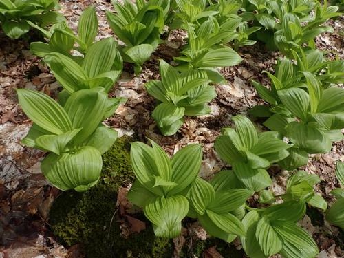
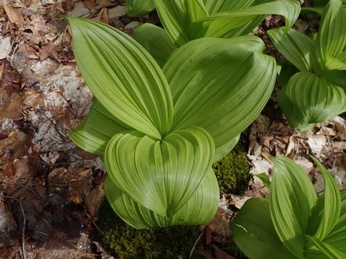
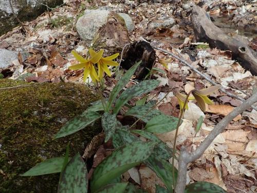
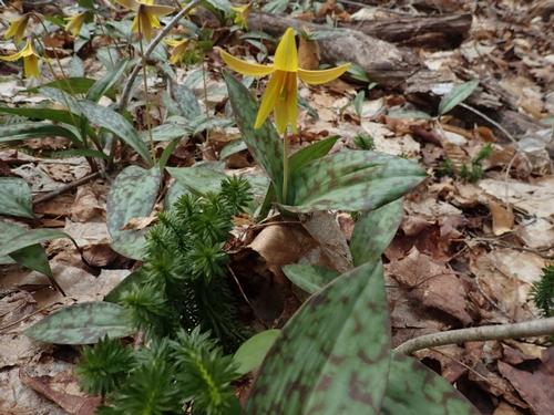
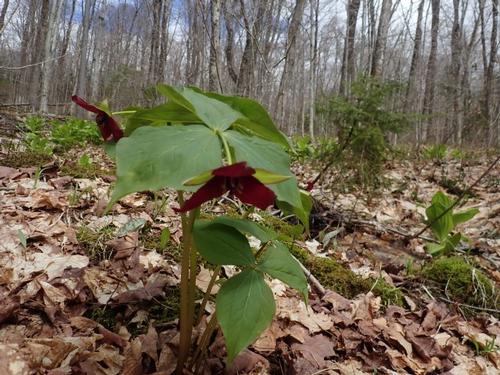
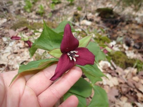
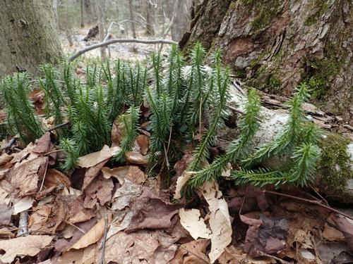
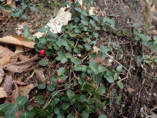
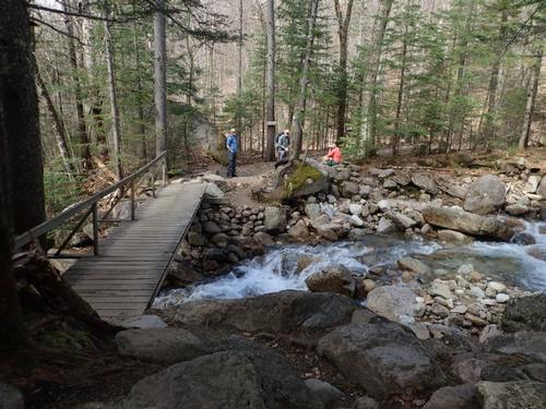
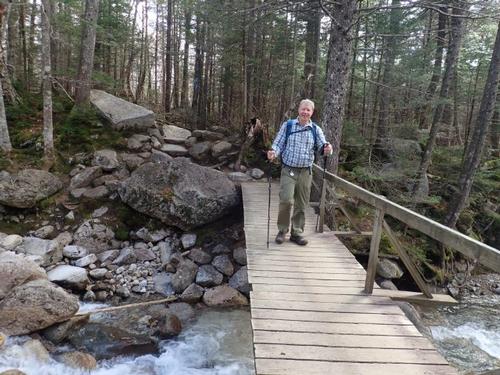
The trail remained quite rocky at times until finally flattening out as we neared the trailhead. Before the crossing of Walker Brook on a footbridge, we were happy to have found patches of Trout Lilies, Red Trilliums, Indian Poke and Club Moss…we even saw a tiny patch of mountain cranberries that we found it hard to believe. We were mostly back at the car around 3:00 pm.
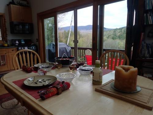
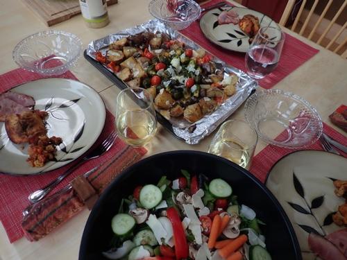
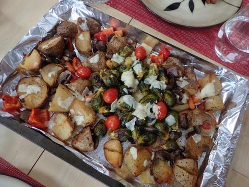
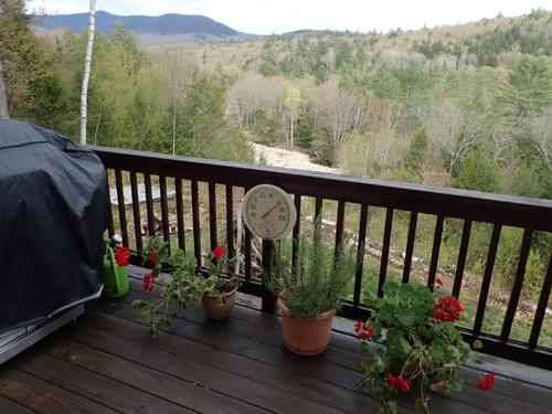
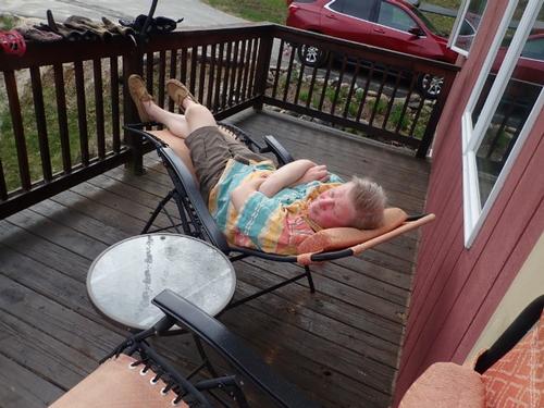
John returned back to the Mad River Lodge for drinks/apps on the deck followed by another delicious meal prepared by Jon! Thanks everyone for all the great conversations.
Thanks for joining us on one of the most beautiful places in the Whites! Fantastic group of buddies for such a strenuous hike. This trip is one to remember! Let’s hope for views next time!
Event photos (99)
Reactions
Log in to react to this trip report.
About this event
FUN hike on these 5,000 footers in the Franconia Range followed by a BBQ at the Mad River Lodge!
With an elevation of 5,260 feet, Mt. Lafayette stands as the highest mountain in the Franconia Range and the tallest peak in the White Mountains outside of the Presidential Range. Mount Lincoln’s [5,089 feet] craggy top presents views just as stunning as those from Lafayette, and with over two miles of continuous views the loop hike over the two summits is one of the most popular treks in the White Mountains!
Round trip distance: 8.9 miles
Vertical feet: 3850
Approximate time: 7 hours
We will ascend using the Old Bridle Path where at 1.9 miles we reach the first of three spectacular open ledge viewpoints. We’ll reach the Greenleaf Hut at 2.9 miles and then make our ascent up to Mt. Lafayette reaching it at 4 miles. We’ll cross the ridge reaching Mt. Lincoln at 5 miles. We’ll continue on the ridge reaching Little Haystack at 5.7 miles. We’ll then descend 3.2 miles back to our vehicles using the Falling Waters Trail with spectacular waterfalls!
What to wear/bring: Wear clothing suitable for the hike in layers...no cotton or blue jeans. Have a rain jacket in the event of inclement weather. Bring along plenty of water (at least 2 liters), lunch, snacks and anything else you may require for a day hike. Contact us if you have any questions.
Boston Area Carpooling: Save money by sharing gas/toll expenses and get to know fellow GO members better! Don't be shy. Contact other Bostonians to find a convenient location for you to meet such as a T-Stop, Commuter Line Stop, or a parking lot of a store familiar to you all! Don't forget to tip the driver!
Afterwards: Everyone is welcome to join us back at our house in Waterville Valley to relax on our deck [BYOB and bring snacks] and a BBQ! We ask $10 per person to help pay for our food costs. Please let us know you will join us for the BBQ so we have enough food. Showers are available so bring a change of clothing to make your visit with us more comfortable.
Lodging Option: Bunk beds are available at our house [with Wi Fi] near Waterville Valley, NH for Friday and/or Saturday nights. It's $25 for Friday night, $35 for Saturday that includes dinner or $60 for the weekend. Coffee/bagels each morning and linen/blankets/towels are provided. Space is limited so email ASAP to reserve a bunk!
Who came along (4)
 SUSTAINING
  GUEST MEMBER
  SUSTAINING
Comments
No comments yet.
Log in to join the conversation.