
Mt. Cube Hike
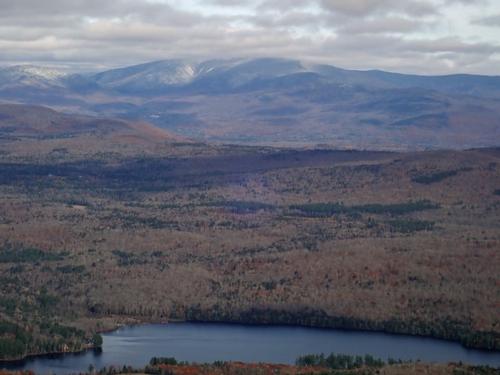
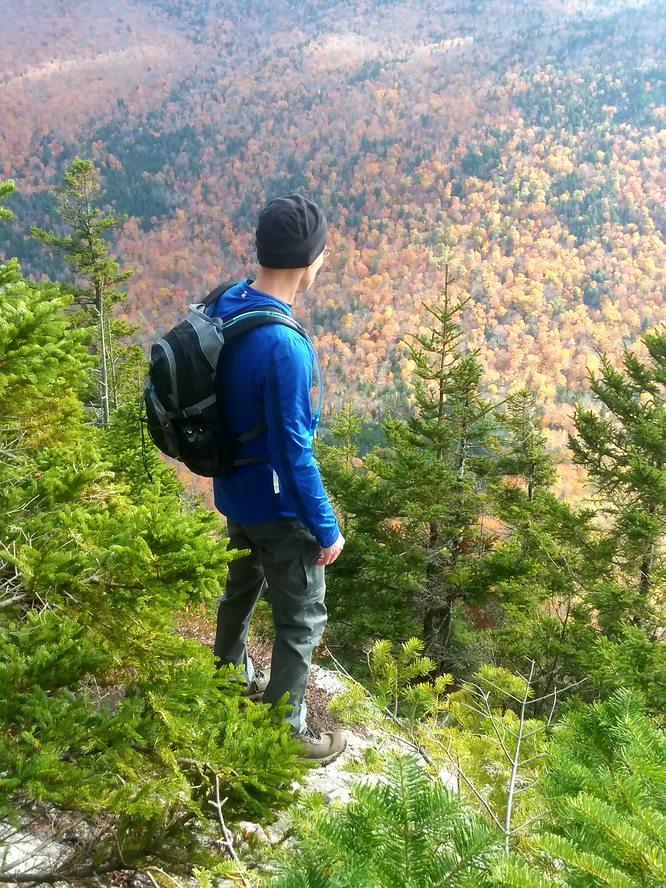
While hiking up Mt Cube is a treat, the views from North Cube take the cake! The hike was marked with easy conversation and a quality crew!
The trip report
Written by a member · last updated by Gandalf on Nov 5, 2018
Few White Mountain hikers realize that there are sections of the White Mountain National Forest far to the west of Mt Moosilauke, as far west as Hanover, New Hampshire, on the border with Vermont. Mt Cube is one of these western sections along with Smarts Mountain and Moose Mountain, both on the New Hampshire Appalachian Trail. While these western peaks aren’t 4,000 footers, the trails that run over them are quite pleasant, including their own share of sublime viewpoints!
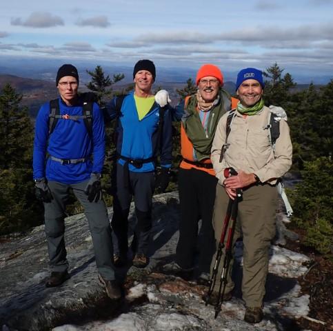
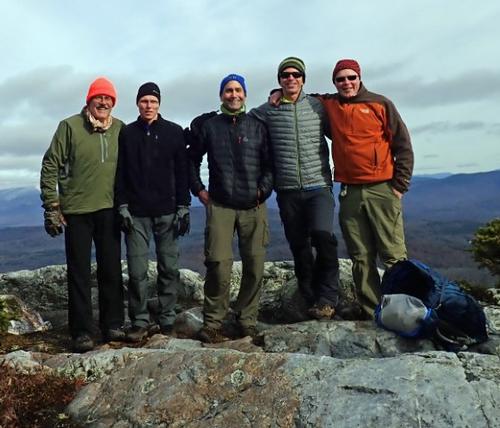
Because of the rain and winds forecasted on Saturday we moved the trip to the sunnier Sunday forecast. So we went from 14 members attending to five. Quality is more important than quantity and we had a fantastic quality crew to join us!
It started with meeting John, from Lewiston, Maine for the first time who spent Saturday night with us. We gathered around the fireplace to get acquainted and enjoyed an awesome dinner cooked by Jon including pulled pork sandwiches, spinach and pesto pizza, Cole slaw, potato nachos and salad. We then went upstairs to our loft to watch a movie, “Sausage Party.” It’s not what you think, LOL.
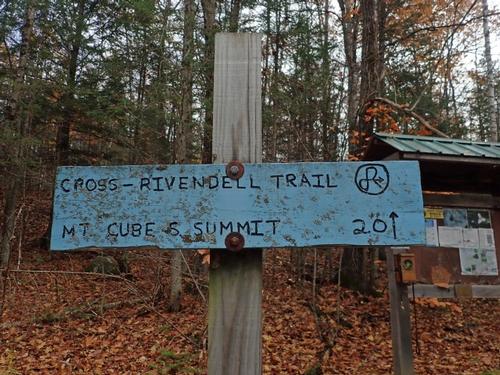
With all the rain the Mad River was roaring so we decided to use the Cross Rivendell Trail to hike up Mt. Cube instead because the Mt. Cube Trail due to the tricky Brackett Brook crossing. Round trip distance – about 5 miles with 1500 feet of elevation gain.
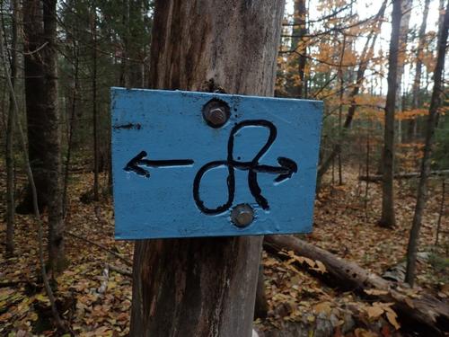
I hiked up using Cross Rivendell Trail once many years ago and Jon never has. With some research I discovered that the trail is maintained by the students of a regional school.
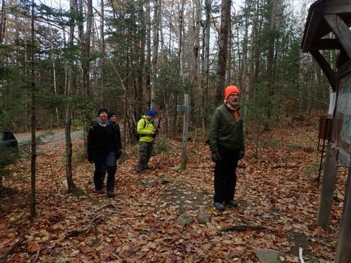
We kept the initial meeting spot in place with the plan of letting everyone know that we were going to use a different approach up. We arrived early and met Jeff from Milton, Massachusetts who was scouting for the Appalachian Trail. He was excited to hike the Appalachian Trail to the summit but became a bit disappointed to hear we changed our approach up and not using it. We told him we would still hike a very short section that link the south and north peak summits so that made him feel better. It was very windy so we went back into our vehicles waiting for Fred to arrive.
Fred is from Barre, VT and upon his arrival was trying to give away various items include a dry bag, baby bib [was he trying to tell us something?], a bunch of colorful plastic plates in a zip lock bag and a polo shirt of his that no longer fit him that we were told that if it could talk, had many stories to tell! Jon took the dry bag with the remaining items going back into his CRV.
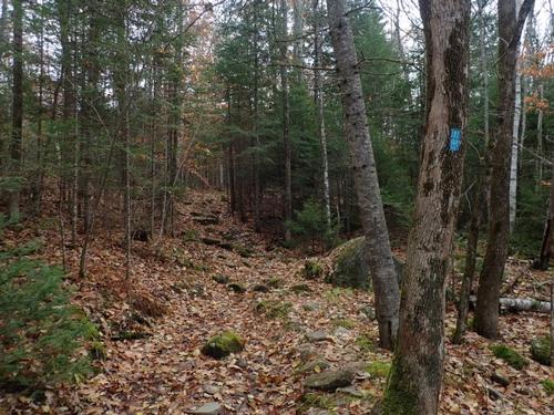
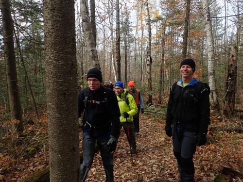
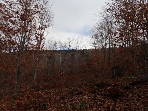
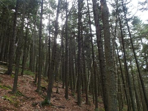
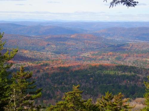
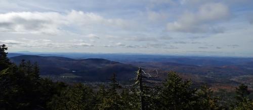
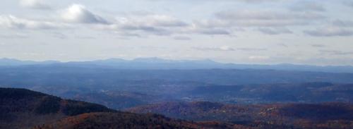
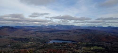
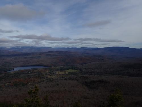
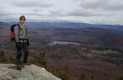
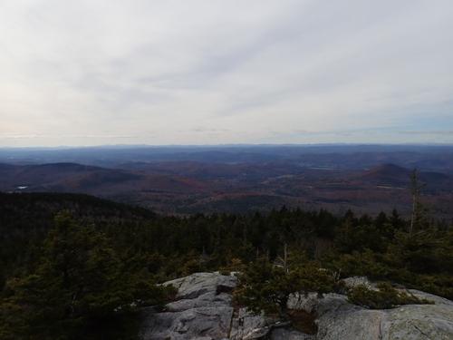
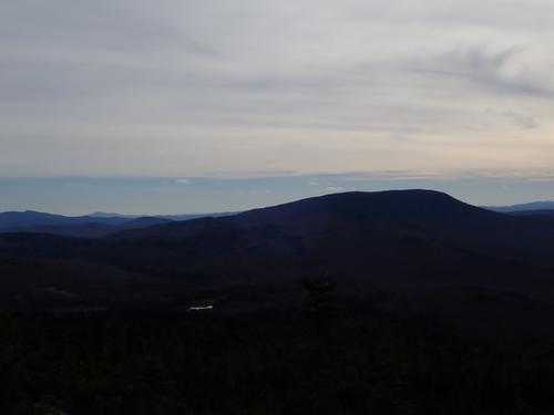
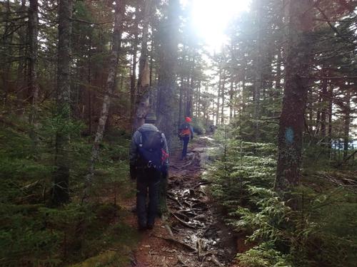
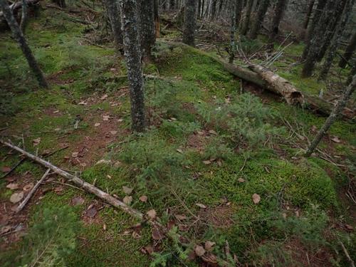
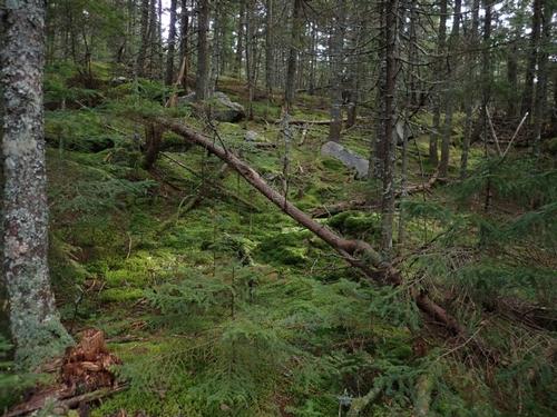
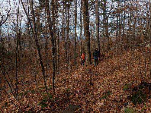
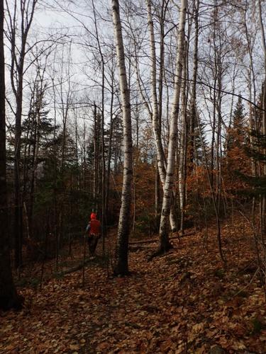
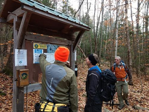
We hopped in our vehicles and drove to the Cross-Rivendell Mt. Cube Trail. The bottom of the trail is reached by driving down the gravel topped Baker Road off NH25A to a trailhead sign, which has space for four to five cars on the side of the road. We found a small parking area for about four to five cars before reaching the trailhead sign that was across someone’s driveway. The trail below was covered with wet leaves. Once, we gained some elevation we reached a beautiful spruce forest and the trail became considerably steeper and rockier, eventually topping out at a series of viewpoints with excellent views of nearby Smarts Mountain and further back, Killington in Vermont.
We met a woman coming down, who had just left the summit, who shared with us that the hike this day, reminded her that winter was approaching. The temperature was comfortable at around 40 degrees with sunny skies, but with a few icy patches, gloves on our hands and a wool hat on our heads, we agreed!
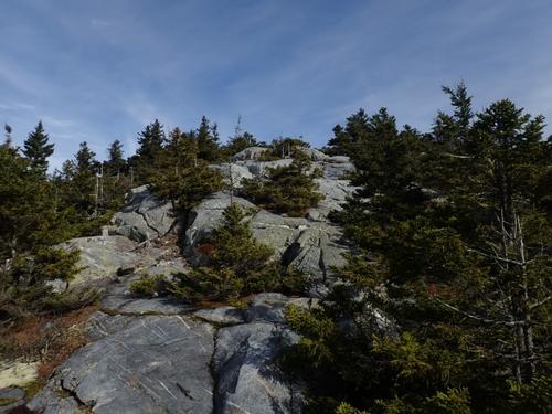
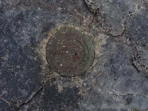
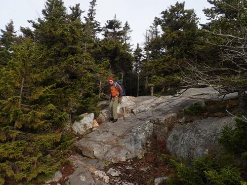
We popped out a short distance later at treeline, following blue blazes painted on the rock scramble up to the summit. These summit rocks are easy to see from the highway and make Mt Cube look far more formidable than it actually is!
There were about 4 people on the summit and more arriving. Our plan to have lunch on North Peak so after a brief break, we continued on our way.
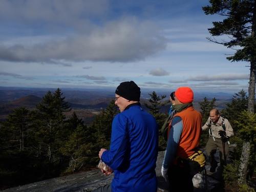
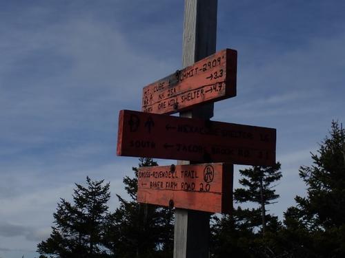
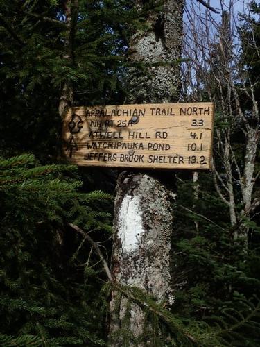
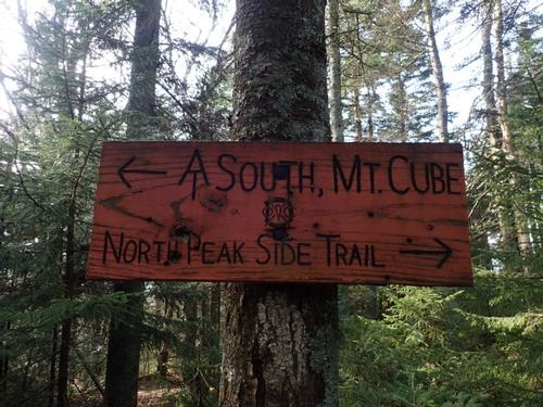
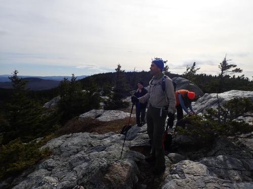
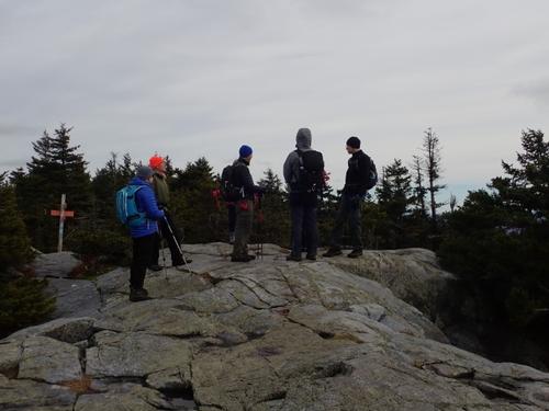
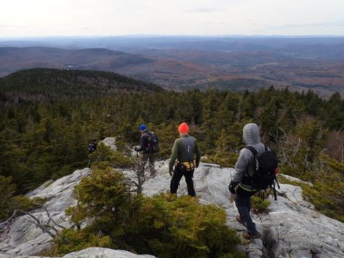
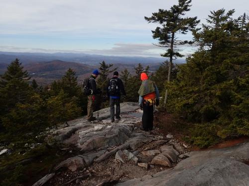
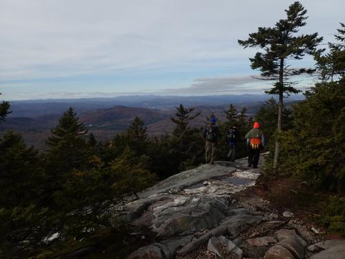
We used the AT to reach North Peak. It was not very long from leaving the summit that spotted the sign to the North Peak spur. The trail is easy to follow but peters out when it arrives at the northern ledges. No matter. Once we arrived at the ledges, there is a vast expanse of open slab where we had lunch!
We retraced our steps for the return. Jon and I both agreed that we like this approach more than the way up we’ve been taking up in the past using the Appalachian Trail.
Back at the trailhead, Fred took out the items once more to see if there would be any takers with Jeff saying he knew someone who could use the plastic dishes. As for Fred’s polo shirt, I guess he’ll have to keep wearing it so it can tell more stories for a later day! John hopped back in our truck where we took him back to our house where he could grab his gear and venture back to Lewiston.
While hiking up Mt Cube is a treat, the views from North Cube take the cake! The hike was marked with easy conversation and a quality crew! Thanks to everyone who could join us!
Mike and Jon
Event photos (45)
Reactions
Log in to react to this trip report.
About this event
Open ledges on its two summit knobs provide completely different panoramas! We will hike the Mt. Cube Trail [Appalachian Trail] to the summit of Mt. Cube, elevation 2,909 feet. On the south [main summit] we look south to the massive Smarts Mountain and west across the Connecticut River valley to Vermont and the Green Mountains. The northeast ledges look down on the Baker Ponds and out to Moosilauke, Carr and other western mountain peaks.
At less than 3000 feet, Mt Cube is one of those Western NH Mountains you forget about unless you try it. It has magnificent views to the North and East from its rocky summit. We will hike a portion of the Appalachian Trail heading South on the Mount Cube Trail (7.4 miles and 2300 ft elevation gain).
The Trail was re-designed by the Dartmouth Outing Club in the late 80's and it was significantly improved. We will be following the traditional "white blazed" trail (AT) across several brook crossings, connecting with logging roads as it proceeds along switchbacks to the summit. We will ascend both the North and South peaks to take advantage of the views.
Please make sure to bring appropriate winter gear. NO COTTON.
Trail Specifics:
• Roundtrip Length - 7.4 Miles
• Elevation Gain - 2300 Feet
• Expected Time - 4.5 to 5 hours
Après Hiking Dinner: Everyone is welcome to join us back at our house in Waterville Valley to relax beside our fireplace views of the Sandwich Mountain/Mad River [BYOB and bring snacks] followed by one of Jon's delicious dinners. We ask $10 per person to help pay for our food costs. Showers are available so bring a change of clothing to make your visit with us more comfortable.
Lodging Option: Bunk beds are available at our house [with Wi Fi] near Waterville Valley, NH for Friday and/or Saturday night. It’s $25 for Friday night and $35 for Saturday that includes dinner. Coffee/bagels each morning and linen/blankets/towels are provided. Space is limited so email ASAP to reserve a bunk!
Who came along (4)
 SUSTAINING
  SUSTAINING
  GUEST MEMBER
Comments
No comments yet.
Log in to join the conversation.