
DENALI CHALLENGE: The Scaur
The rocky outcrop, The Scaur [2200'] provides fine views of Waterville Valley for a good start to the Denali Challenge!
The trip report
Written by Gandalf
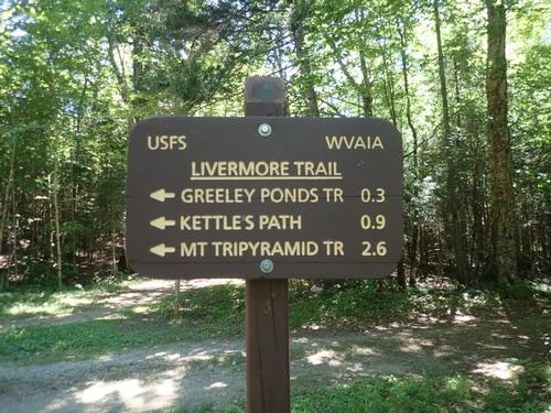
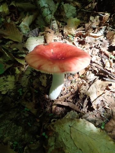
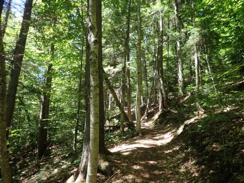
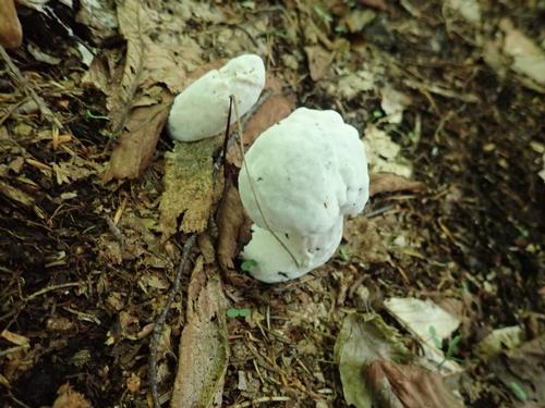
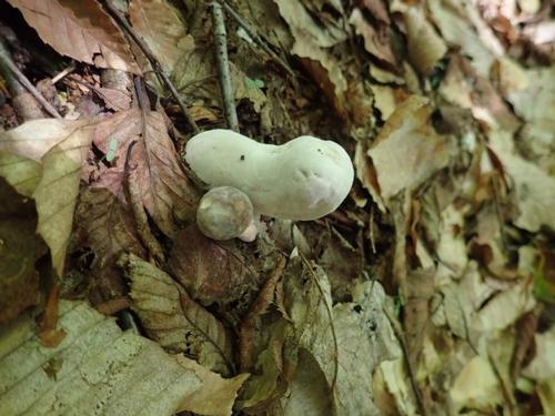
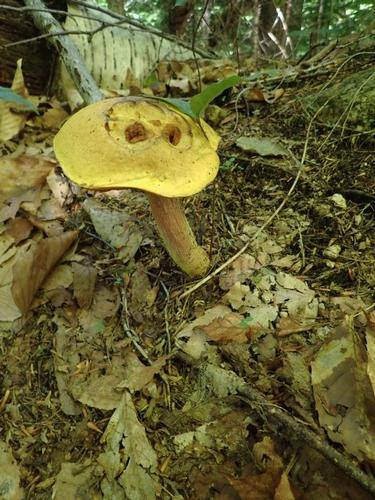
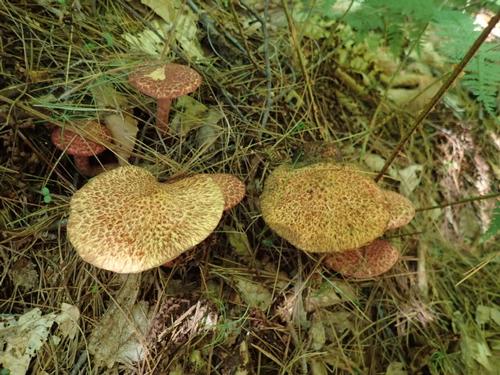
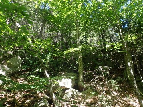
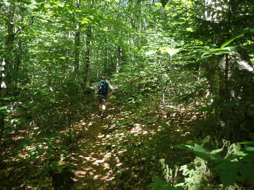
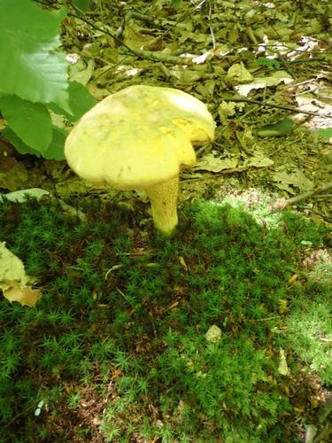
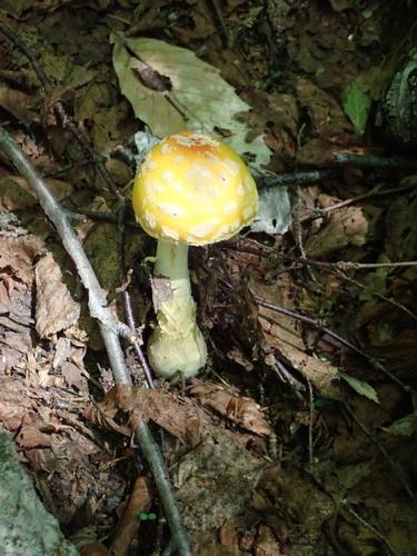
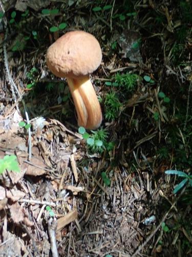
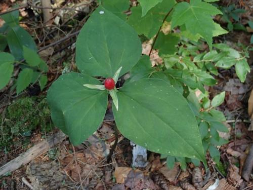
The rocky outcrop, The Scaur [2200'] provides fine views of Waterville Valley for a good start to the Denali Challenge! On the way, we enjoyed the scenery on the multi-use Livermore Trail, including brooks and mushrooms. We started from the kiosk at the east end of the parking area and walked out to a junction.
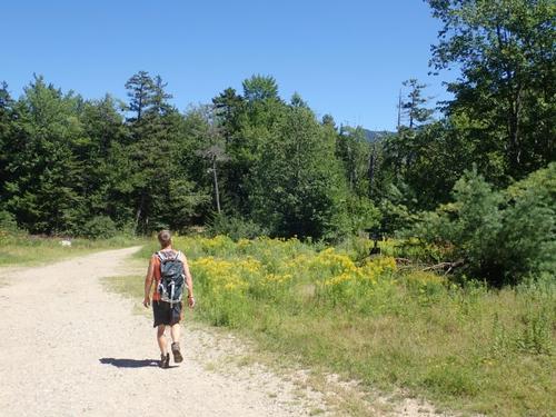
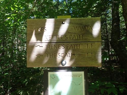
We turned left onto the flat, graded Livermore Trail, marked as Livermore Road on the cross-country ski trail signs. An easy walk of 0.3 miles leads out to a grassy clearing with a partial view of the Tripyramids that we'll do tomorrow. After about one mile we reached the Kettles Path/Irene's Path/The Scaur. The former name Kettles Path was retained for historical purposes with Irene's Path and The Scaur now sharing it.
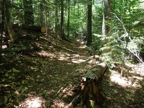
This trail starts out level, then angles up a hillside, climbing easily for a while before flattening out again. It was difficult to capture in pictures but we passed through a hardwood forest with three kettle-shaped depressions in the earth. They were formed when receding chunks of glacial ice broke off and were subsequently run-over by the receding glacier, which covered it with layers of sendiment. When the ice of the broken-off chunk melted beneath the sediment, the earth dropped down, creating a "kettle."
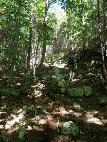
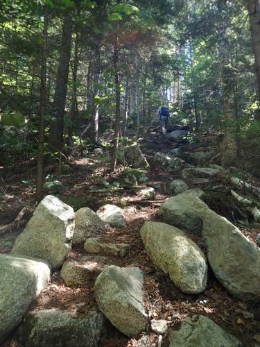
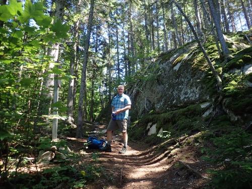
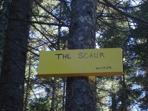
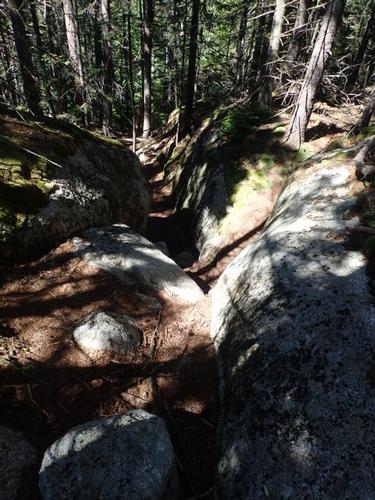
In 0.9 miles from Livermore Trail, the trail takes a sharp right turn at a former trail junction, then climbs more steeply for 0.2 miles. It then makes its way around to a rock face behind The Scaur. The main trail continues along this rock face. We turned right which there was a yellow sign, The Scaur, to indicate that was the direction we should go.
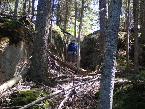
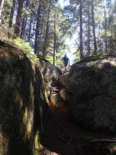
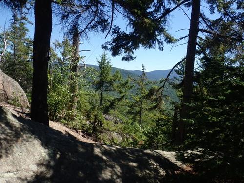
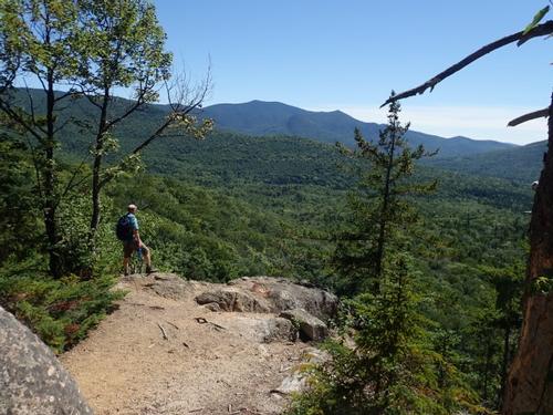
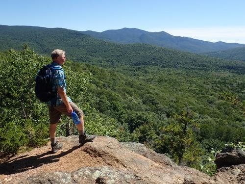
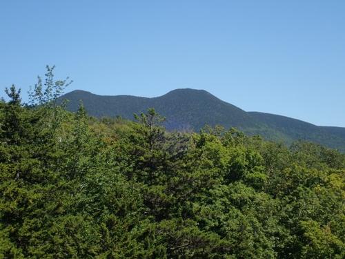
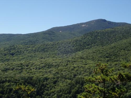
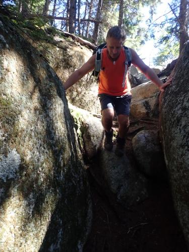
We climbed moderately, with one rock scramble, for a short distance out to the viewpoint ledge. Here, we found a wide view over Waterville Valley to Sandwich Dome. To the far left, above the trees, we could see Middle and South Tripyramid which we'll be hiking up tomorrow as well as North Tripyramid.
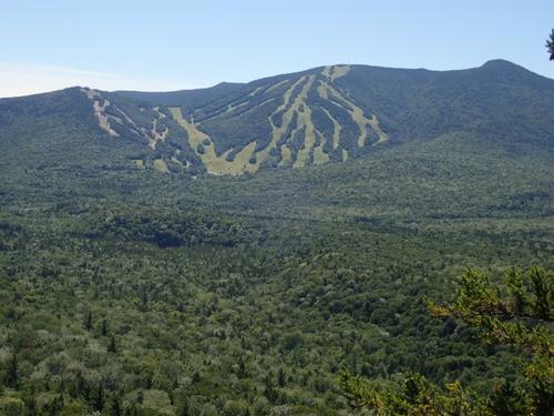
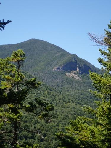
To the right and below was the long ridge of Snows Mountain, which blocked the view of the town. To the right of Sandwich Dome is Mt. Tecumseh and we could clearly see the ski area. By exploring the north side of the knob, we found a viewpoint of Mt. Osceola and Thornton Gap, with the Painted Cliff of East Osceola in full view.
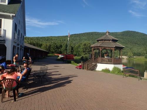
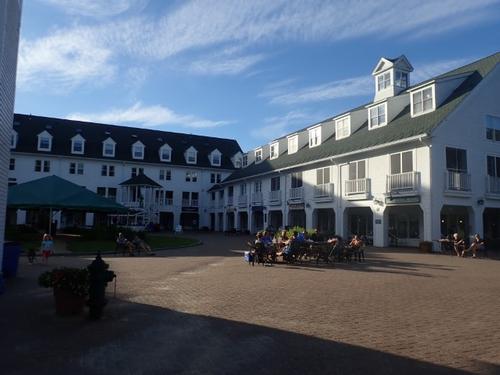
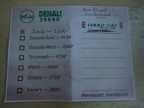
Early evening, we drove back to the Waterville Town Square to pick up our Denali Challenge T-shirts and hiking log card. Tomorrow is the Tripyramids!
~ Mike and Jon
Event photos (39)

Reactions
Log in to react to this trip report.
About this event
Join us on this hike to one of the most popular hikes in Waterville Valley! This is 1 of 3 hikes we’ll be doing as part of the weekend Denali Challenge.
We’ll start hiking up The Scaur 2pm from Livermore Road to Irene's Path. There is one steep scramble before the viewpoint ledge. Here we'll find a wide view over Waterville Valley to Sandwich Dome. The Scaur is at 2,200 feet, hiking mileage up and back is 4.4 miles and elevation gain is 650 feet.
This is our first hike on our quest to complete the Waterville Valley based challenge where we hike five mountains [six is allowed] equaling 20,000 feet (Denali is at 20,328') claiming the title "Alive after five"!
Waterville Valley’s proximity to some of New England’s highest peaks makes it a great hiking destination. With more than a dozen 4,000-foot peaks surrounding Waterville Valley, hikers are being challenged some of these in a single weekend [non-4,000 footers also count] in a fun hiking event known as the Denali 5 Summit Challenge.
In order to meet this challenge, we will be hiking Scaur [2200’] on Friday; the three Tripyramids, North Peak [4180, Middle Peak [4140], and South Peak [4100] on Saturday. On Sunday we'll finish with a hike up Noon Peak [2976'] and Jennings Peak [3460'].
If you would like to join us on this challenge, sign up for all three hikes we have posted for this weekend. There is no fee to participate in the Denali Challenge. Registration is from 6-8PM on Friday in the Town Square next to the info booth. Hikers will receive a welcome goody bag and hiker card.
On Sunday, after we hiked up Noon Peak/Jennings Peak, we will turn in our finished cards at the Info Booth in Town Square.
You will need to be prepared with sturdy hiking boots and 1 liters of water, snacks, bug spray, rain gear, and other clothing appropriate for the weather. No blue jeans, cotton shirts/sweaters, etc. Bring your swim trunks and water shoes/sandals [no flip flops] for a dip in the Mad River at house followed by dinner!
Lodging Option: Bunk beds are available at our house [with Wi Fi] near Waterville Valley, NH for Friday night and for Saturday night if you choose to participate in the Denali Challenge. It’s $25 for Friday night and $35 for Saturday that includes dinner. Coffee/bagels each morning and linen/blankets/towels are provided. Space is limited so email ASAP to reserve a bunk!
Who came along (1)
 SUSTAINING
Comments
No comments yet.
Log in to join the conversation.