
The trip report
Written by a member · last updated by MO on Jun 10, 2018
A Pleasant Hike
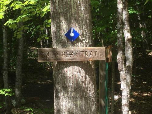
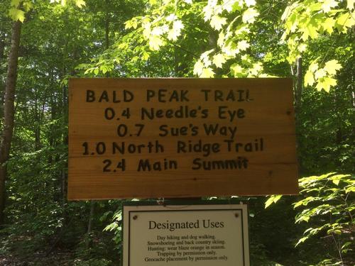
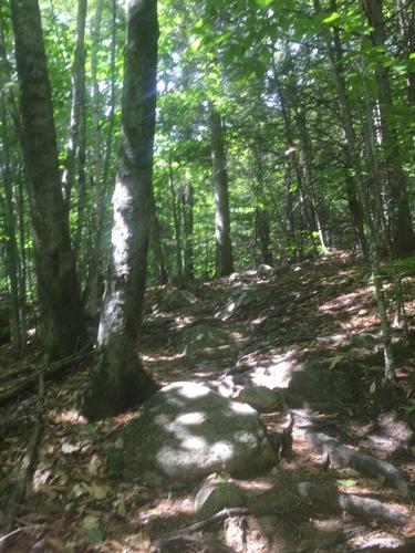
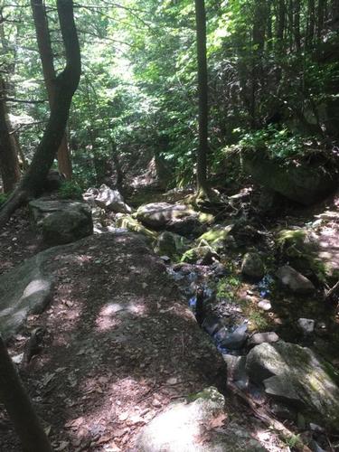
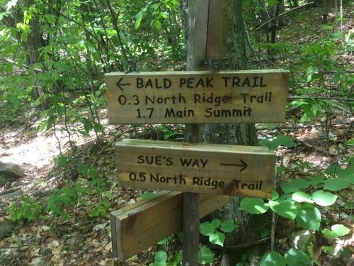
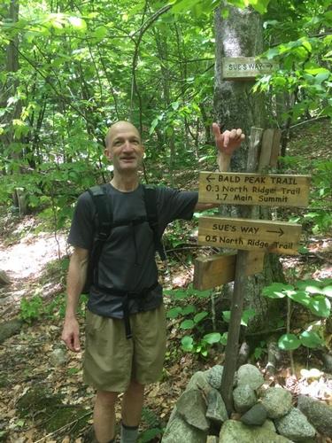
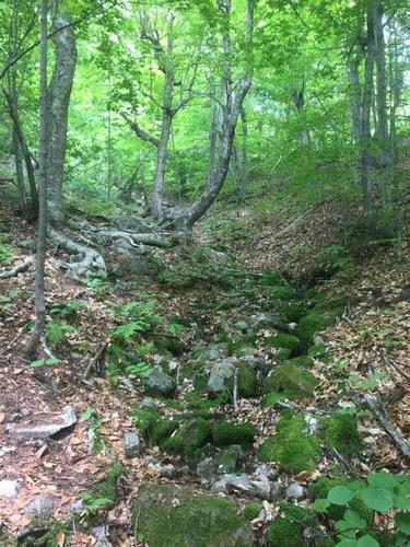
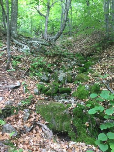
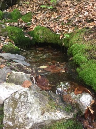
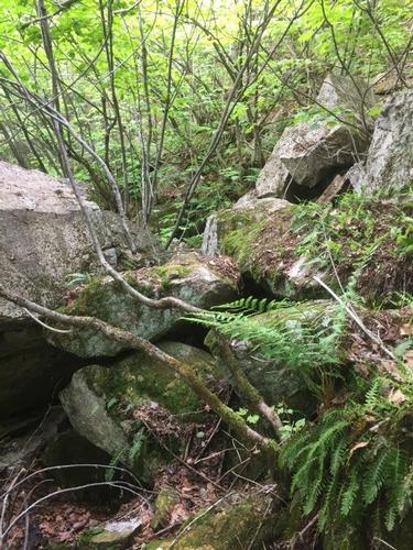
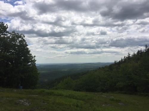
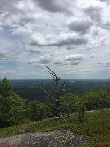
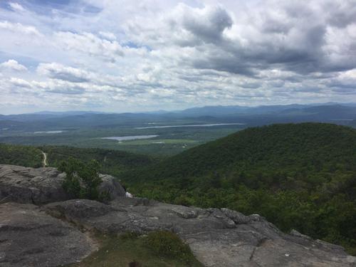
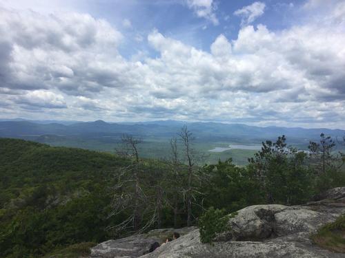
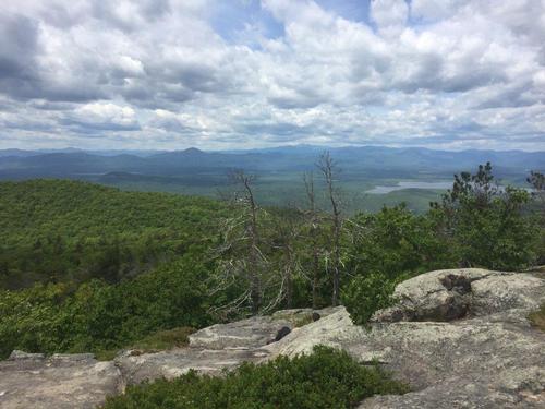
Our Pleasant Mountain hike was nothing short of pleasant - how could it be otherwise. The weather was neither too hot nor too cold - it was pleasant. The inclines were neither too short nor too long - what a pleasant ascent. As we climbed we decided to take the extended loop via Sue’s Way - which was a pleasant surprise. Overall the terrain was pleasantly varied - rocky to boulders to grass plains. The density of the forest was varied as well - from deeply to lightly forested. On our hike we ran into a few people exchanging pleasantries in passing. The views from the top were more than pleasant – they we fantastic.
Overall it was a great hike (and, of course, pleasant as well). Thanks Tim for the great company and great pics.
Event photos (18)


Reactions
Log in to react to this trip report.
About this event
ABOUT PLEASANT MOUNTAIN:
Pleasant Mountain is southern Maine’s tallest mountain standing at 2006 feet tall and is located within an hour drive of Portland, Maine. The mountain contains nearly 10 miles of various trails managed by the Loon Echo Land Trust. The summit rewards you with beautiful views of the surrounding Saco River valley and the White Mountains. Pleasant Mountain is an isolated, lengthy mountain mass that stretches about 4 miles on the north-south line of Bridgton and Denmark. The main summit is open and filled with ledges. The summit was once known as House Peak because it was home to a hotel from 1873 to 1907. The views from the main summit and Big Bald Peak are outstanding. There are at least 6 trails heading up the mountain of varying lengths.
PROPOSED ROUTE:
Bald Peak to the summit is (roughly 2.2 miles) - if the group decides to tackle Sue’s Way/North Ridge loop to Pleasant’s northernmost peak it will add another 1.3 miles.
After lunch we can either take Bald Peak down (total 2.4 miles) -or- we could take the Ledges Trail (1.8 miles down) – not as steep but we'd have to walk Mountain Road back to parking (adding approximately 2 miles).
TRAIL MAP:
http://www.loonecholandtrust.org/wp-content/uploads/2012/03/Pleasant_Mountain_Brochure_Map.pdf
WEB SITES:
http://www.loonecholandtrust.org/places-we-protect/preserves/pleasant-mountain-preserve/
ESSENTIALS:
- A backpack
- Lunch (we will eat at the summit) & snacks
- Water & more water (at least 2 liters)
- Hiking footwear with fairly stiff soles and good traction
- Dress in layers (rain gear not needed because we will cancel if rainy)
- Map of the hike (see the link above)
- Sunglasses
- Sun Screen
- Bug/Tick repellant
- First aid kit-- assemble one with what you have at home (bandages, gauze, tape, sanitizing gel, etc)
- See recommendations from GayOutdoors:
Who came along (2)
 GUEST MEMBER
Comments
No comments yet.
Log in to join the conversation.