
The trip report
Written by MO
Our Mount A conquest
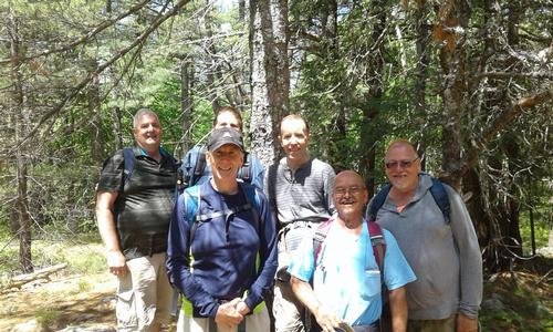
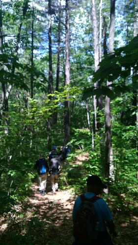
The “decisive day” had arrived. We set out to capture and dominate Mount A. Our quest was to occupy as much of the territory as possible - all in the name of GO. The plan was to sneak behind enemy lines by taking the “road” less traveled and conquering from behind. To avoid suspicion we went undercover - dressed as the locals (in hiking gear).
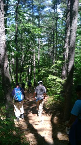
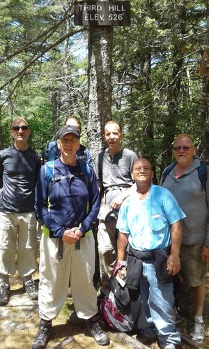
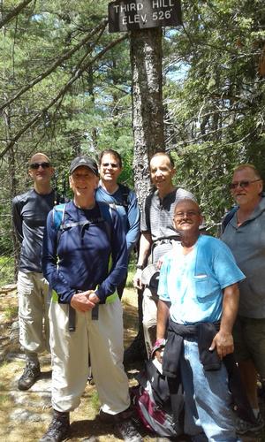
We veered toward the northeast to conquer Second Hill. We encountered little resistance. Having a taste of victory we didn’t stop there. Our next quest was Third Hill. Little did we know this was to be more of a challenge. In a critical, last minute strategic move, we decided to capture the hill via the extended northerly route. We were triumphant! Third Hill was ours. We assessed our casualties and counted the wounded - none. We took time out to relish our victories (it was lunch time after all).
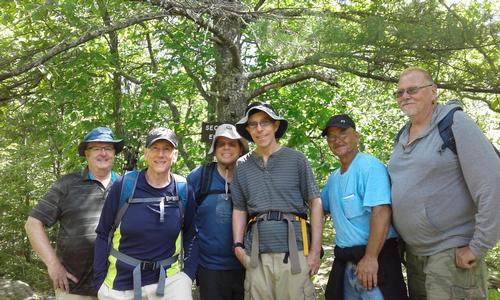
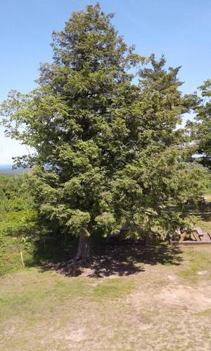
Upon regrouping and contemplating our next steps - fierce invaders (2 women hikers) were encounter. We had to think fast. We attempted to lure them to the elevation sign on the nearby tree – knowing that once they realized they could not survive at such high elevations they would vacate the premises. We did not stay to witness the aftermath - but were confident they would flee or perish and the territory would remain in our hands.
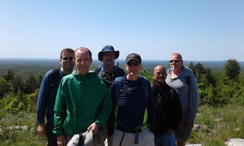
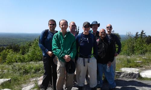
Heading south-westerly we retraced some of our route - in part to ensure the territory remained secured in the name of GO. We then set off for the final conquest - Mount A itself. As we approached the mount we split into two groups. The plan was to overwhelm our adversaries by attacking from both sides. Our plan was flawless. We succeeded in our conquest - the locals, unaware of what hit them, gave up without a fight. With that in mind, we re-strategized once more. We decided to take a gentler more compassionate approach and set aside our pillage & terror strategy. We were victorious. We had conquered the land in the name of GO. Confident of the permanence of our conquest and glorious in our achievements we headed down the mount.
By the way - it was a terrific hike. A fun day with great company and good conversation. Thanks everybody for coming & making this a memorable trek. Looking forward to our next GO conquest.
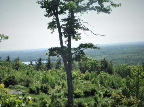
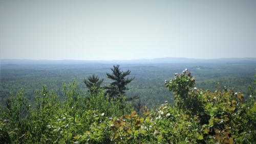
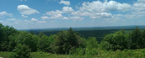
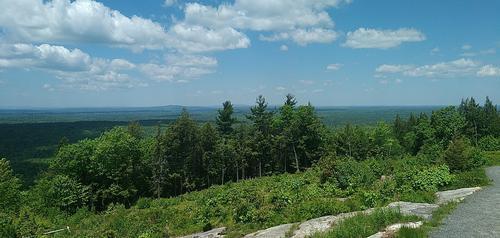
Event photos (24)
Reactions
Log in to react to this trip report.
About this event
INTRODUCTORY HIKE:
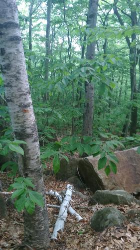
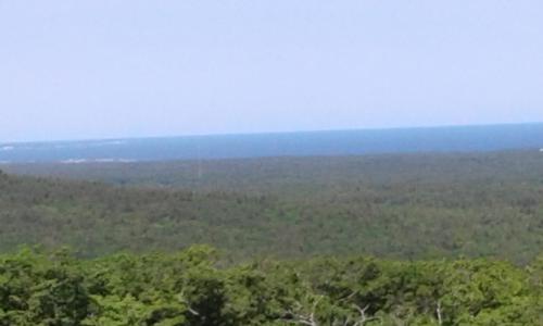
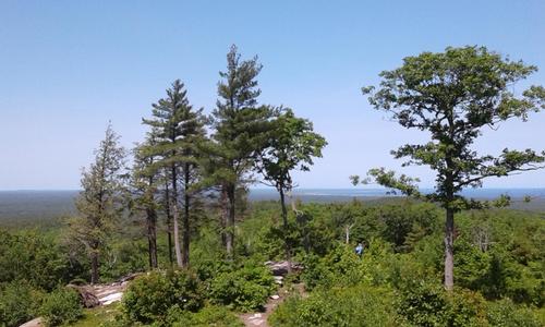
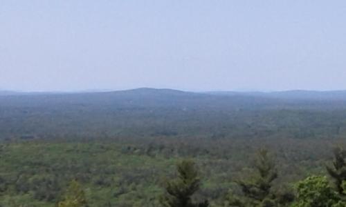
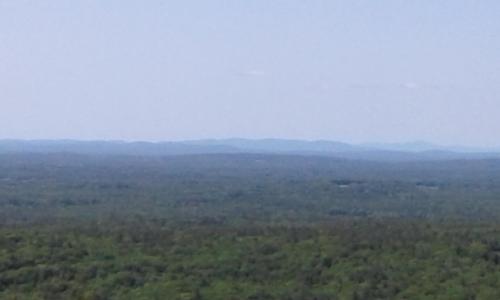
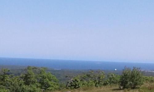
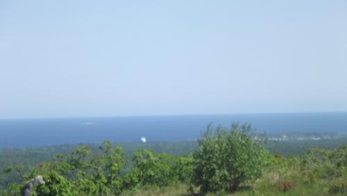
Mount Agamenticus, which is located in southern Maine, is a conservation region made up of over 10,000 acres. The region is made up of a rich and unique coastal forest with a diverse animal and plant population. It has great views to the west and east to the Atlantic.
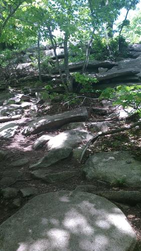
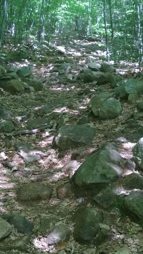
The summit is approximately 700 feet, but trail elevation is only about half that. In addition to hiking the summit we will also hike to the “Second” and “Third” hill adding to our overall elevation gain. For the most part, the trails are rolling (up/down) but have short but steep inclines & declines.
WHO SHOULD JOIN THE HIKE:
- You are new to hiking (but in good shape and can handle the distance & elevation)
- You have not hiked in a while and are hoping to start up again
- You want an easier hike to start the summer hiking season
PROPOSED ROUTE:
Ring Trail, Rocky Road, Porcupine, Ridge, Incline, Notch, Wheel , Ledge, Third Hill, Ledge, Great Marsh, Darter, Notch, Incline, Hidden, Porcupine, Chestnut Oak, Ring Trail, Vultures View, Big A, Summit Staircase ,Big A, Blueberry Bluff, Ring Trail. Check the map link below to see the route proposed.
Total distance is approximately 7.5 miles (as per above: with short but steep inclines & declines). This hike should take us 5 hours, including lunch, at the summit.
TRAIL MAP:
http://agamenticus.org/wp-content/uploads/2018/01/MT.A-MAP.pdf
WEB SITE:
ESSENTIALS:
- A backpack
- Lunch (we will eat at the summit) & snacks
- Water & more water (at least 2 liters)
- Hiking footwear with fairly stiff soles and good traction
- Dress in layers (rain gear not needed because we will cancel if rainy)
- Map of the hike (there are maps at the kiosk)
- Sunglasses
- Sun Screen
- Bug/Tick spray
- First aid kit-- assemble one with what you have at home (bandages, gauze, tape, sanitizing gel, etc)
- See recommendations from GayOutdoors:
Who came along (6)
 GUEST MEMBER
  GUEST MEMBER
  GUEST MEMBER
  GUEST MEMBER
  SUSTAINING
Comments
No comments yet.
Log in to join the conversation.