
Mt Carrigain & Nancy Pond Backpack
A Wonderful Traverse of Mt. Carrigain for an Overnight in the Pemigewasset Wilderness Returning via the beautiful Norcross and Nancy Ponds!
The trip report
Written by shep5
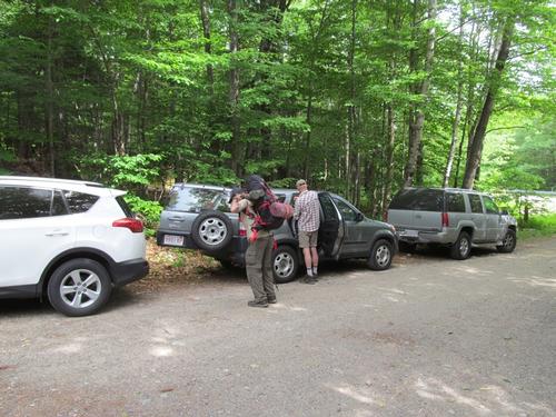
Jeff, Robert and I met up at the Nancy Pond Trailhead parking area on Route 302 in Crawford Notch. It was just before 9:30AM with a beautifully sunny and warm weekend ahead of us. We waited just a bit (someone else had signed up, but by his posted comment and lack of pre-trip communication, it was doubtful that he would show) and then we headed down the road for the winter parking lot at the base of Sawyer River Road. We got ready and started with the road walk, as this forest road has been indefinitely closed due to damage from last October's storm.
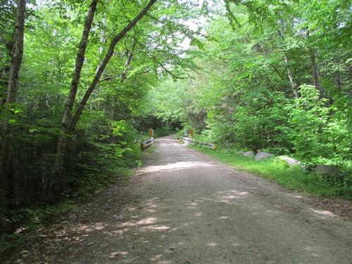
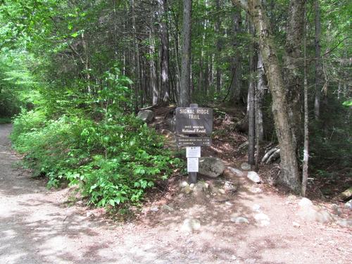
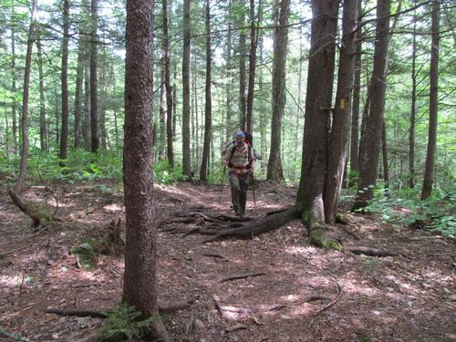
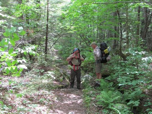
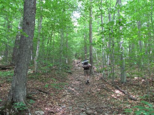
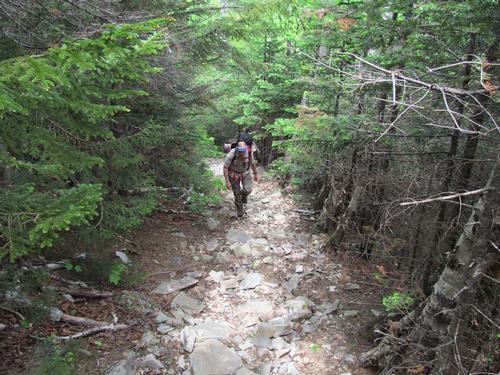
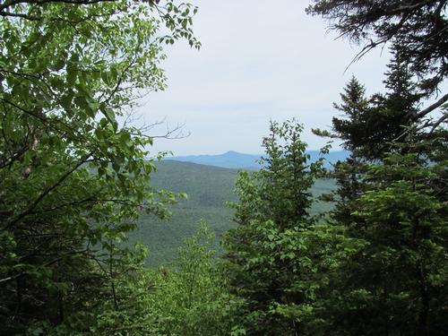
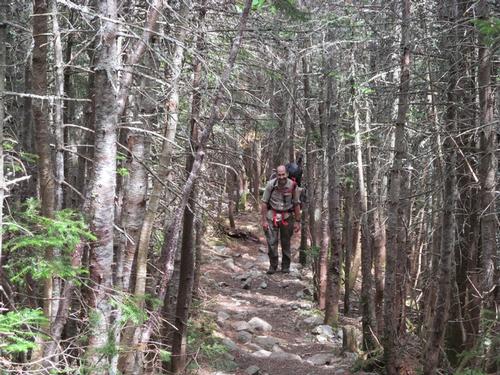
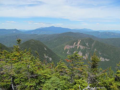
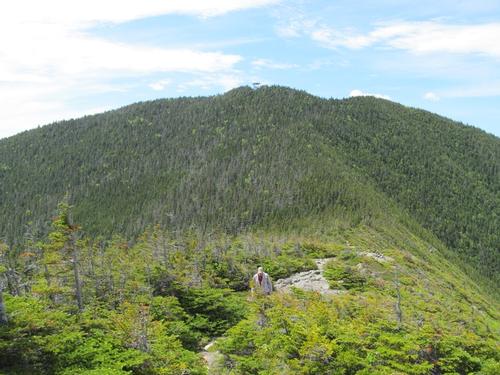
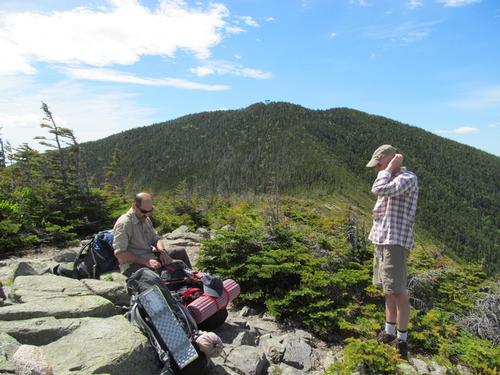
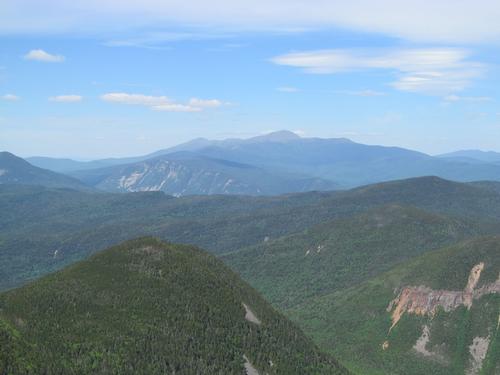
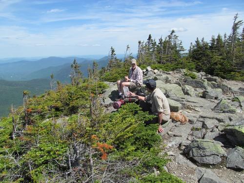
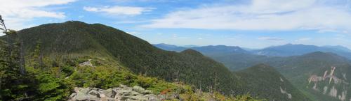
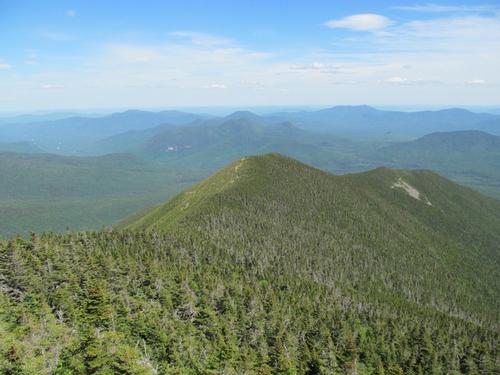
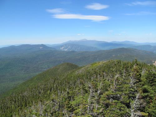
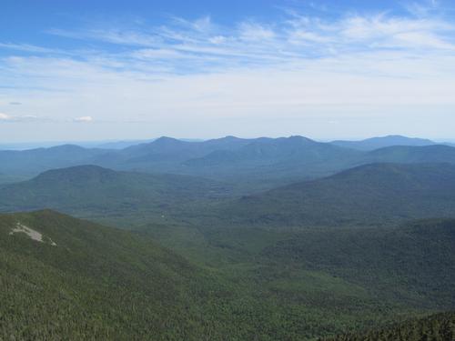
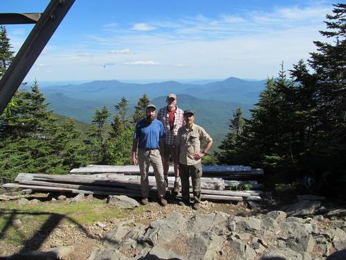
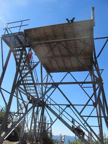
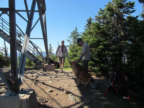
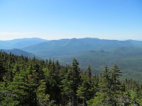
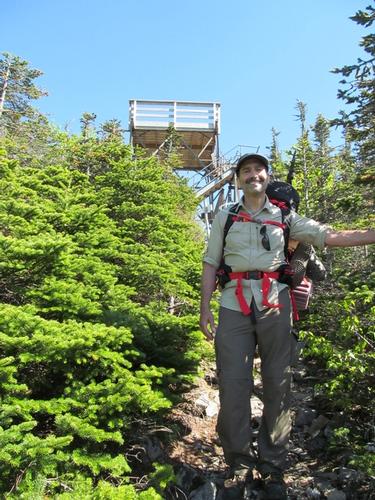
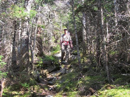
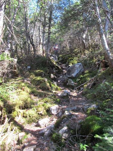
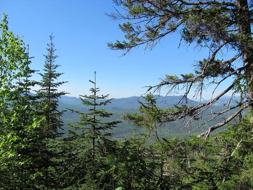
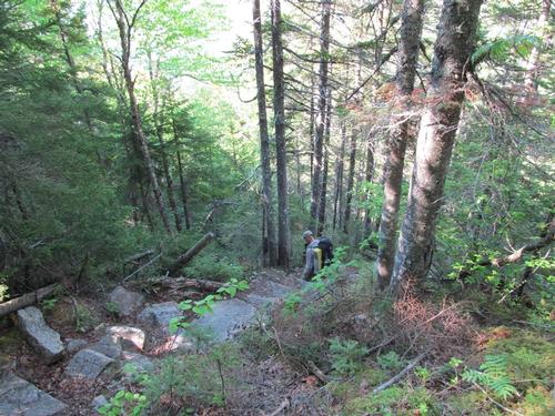
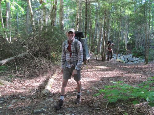
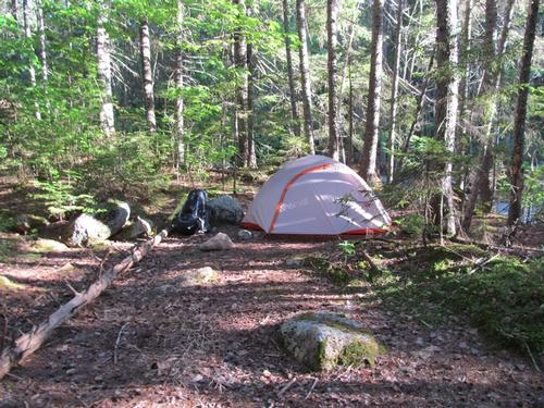
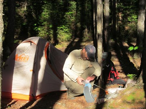
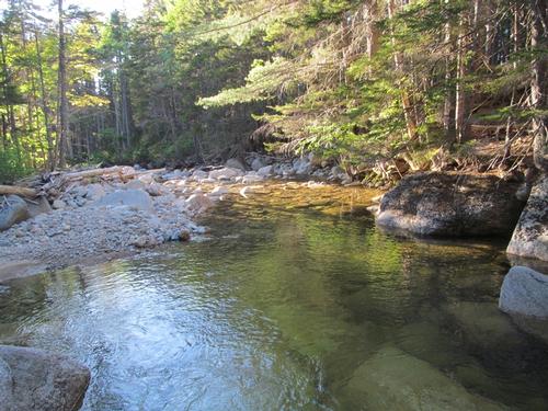
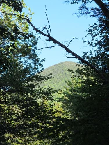
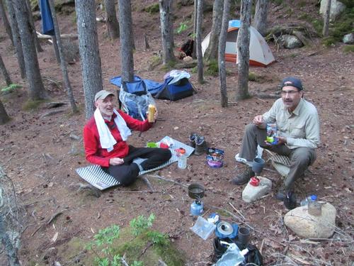
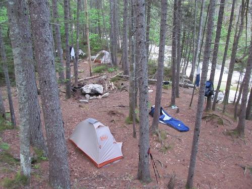
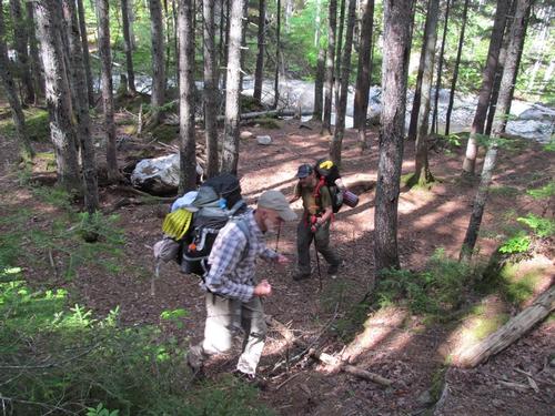
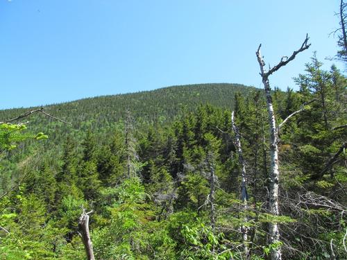
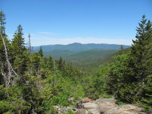
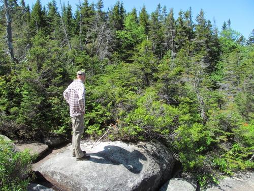
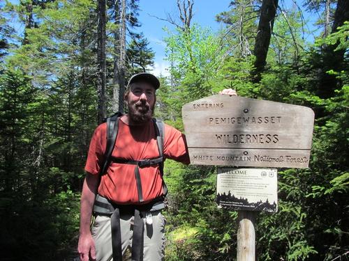
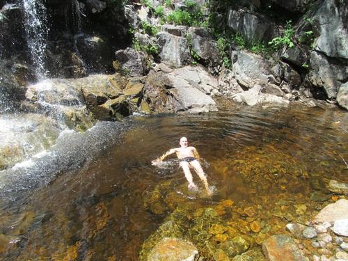
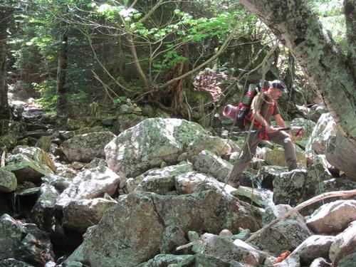
It was roughly 9:45AM, when we started up the road. The 2-mile walk was fairly easy and the road was in decent condition, except for one major washout where runoff had overwhelmed a colvert and took out some of the graded road. We made it to the Signal Ridge Trailhead by 10:25. The bugs were starting the swarm and we took a break so that Jeff and Robert could apply bug repellent. We started up the trail and this was initially a nice walk through the woods as it paralleled the Whiteface Brook. At 11:15 we crossed the Carrigain Brook and in another 5 minutes we reached the junction for the Carrigain Notch Trail. We proceeded up the Signal Ridge Trail as the trail began to gradually steepen beyond this point. The trail climbed fairly straight up the ridge for awhile and then as the terrain steepened the trail would occasionally switchback. This was Jeff's first backpack and he slowed a bit, but with frequent breaks, he persisted. Robert steamed ahead and waited for us up on Signal Ridge. Jeff and I reached the trailside view at 1:15PM. This used to be more open, but has been closing up due to tree growth. As we approached the open portion of the ridge, there were additional sections of switchbacking and finally by about 2:45 we were all together again on the ridgeline. We took a much needed break with the spectacular views, which included the Mt. Carrigain, Presidential Range, Vose Spur, Mt. Lowell and the Willey Range. After about an hour we continued along the Signal Ridge and in about 15 minutes we dropped back into the woods for a final push for the summit. We made it to the summit of Mount Carrigain (4700') by 3:45PM. The summit viewing platform had sustained some damage from last year's storm and was officially closed, but there were other hikers up there. For the most part, there were just sections of railing, which were missing. We hung out up top until about 4PM, when we began our descent into the Pemigewasset Wilderness via the Desolation Trail. This descended modestly for a bit and then after about 20-30 minutes we hit the steepest section, which required some care maneuvering down the rock. By about 5PM this became much easier and by 5:45 we had all congregated again at the crossing of the Carrigain Branch of the Pemigewasset River. Here we caught our breath and filtered some water before continuing on. The trail junction for the Carrigain Notch Trail was just up the other bank and we turned northwest onto this trail and proceeded down the brook for a nice tent site, which I had spotted on a previous trip. We reached this site, which was along the brook and by two large pools by a little after 6PM. We immediately started to set up camp and cleanup. Despite the water temperature, Robert did take the plunge! Jeff and I just washed up...it was just too cold! Afterwards, we got our bearbag lines strung and finally had dinner. Jeff had brought along a delicious dehydrated delicious raspberry crumble to share. There was a fire pit here and we collected some wood for a campfire, but by dark everyone was getting tired and it didn't seem worth it. Robert turned in before 9:30 and Jeff and I stayed up talking to about 10 when we finally called it a night.
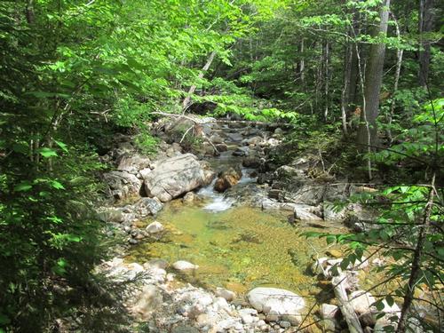
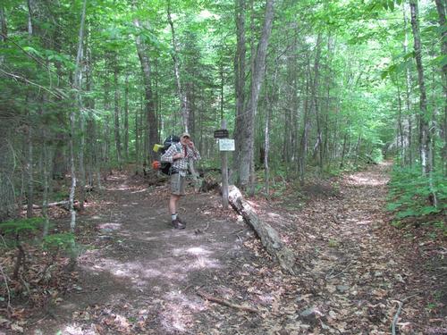
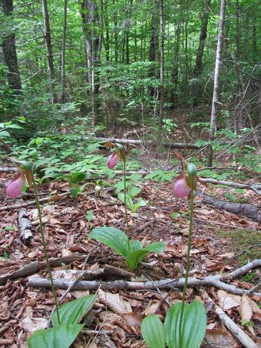
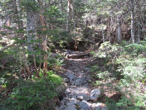
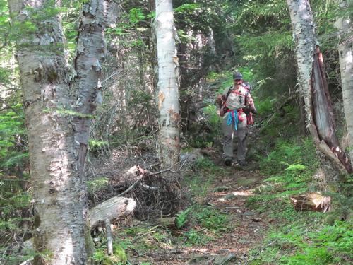
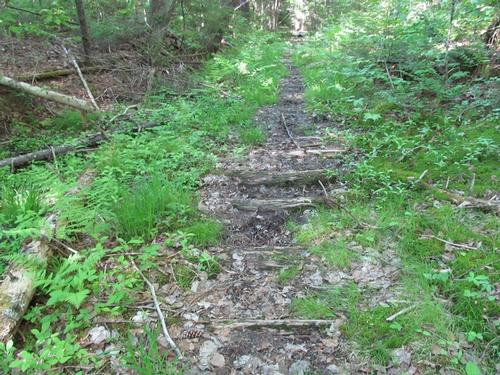
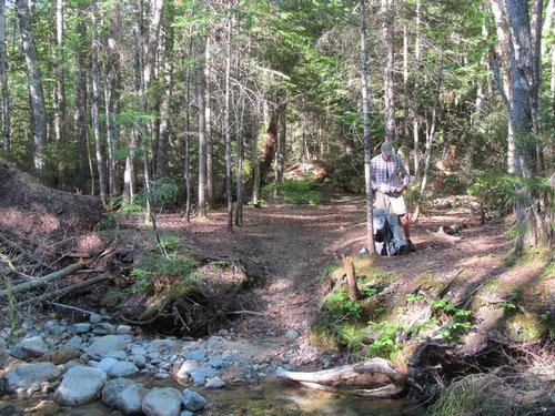
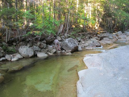
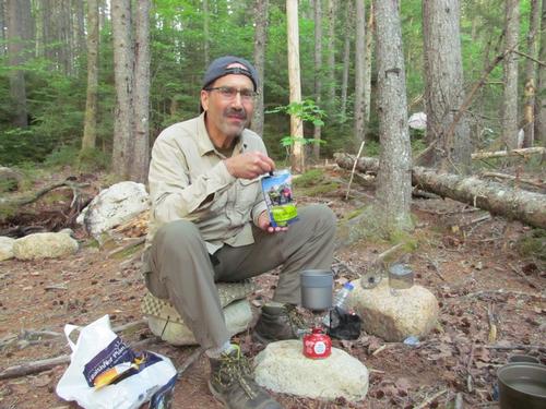
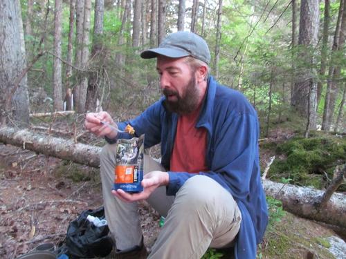
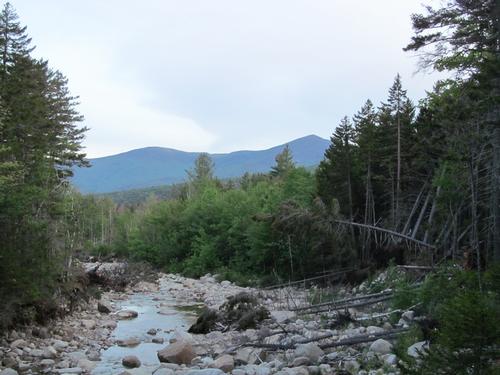
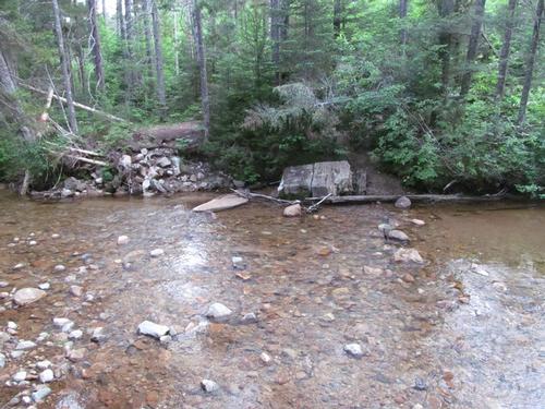
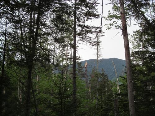
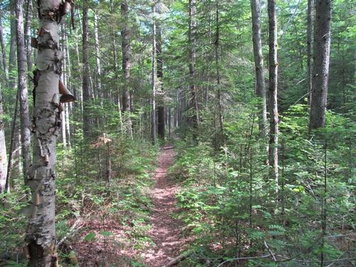
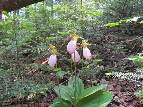
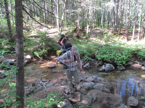
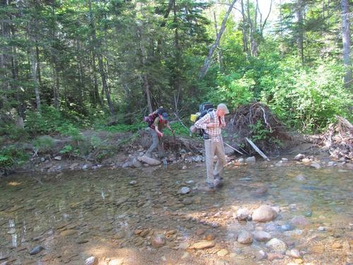
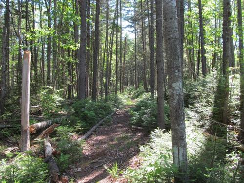
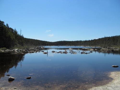
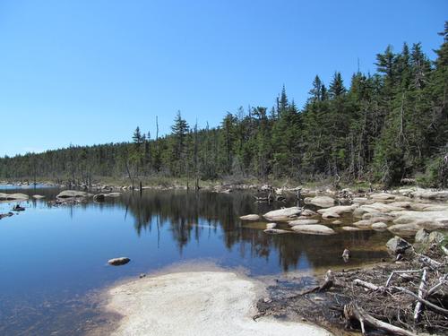
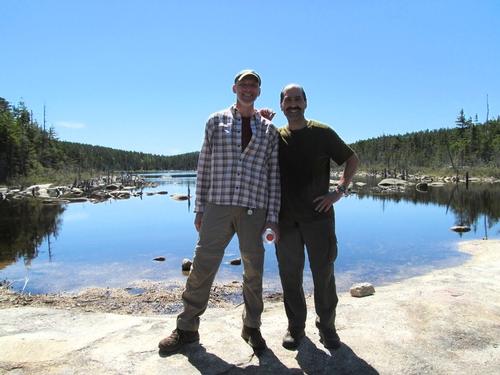
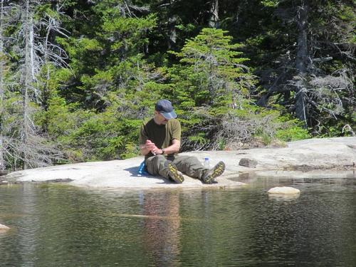
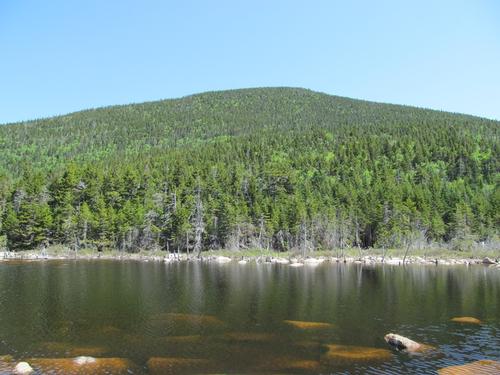
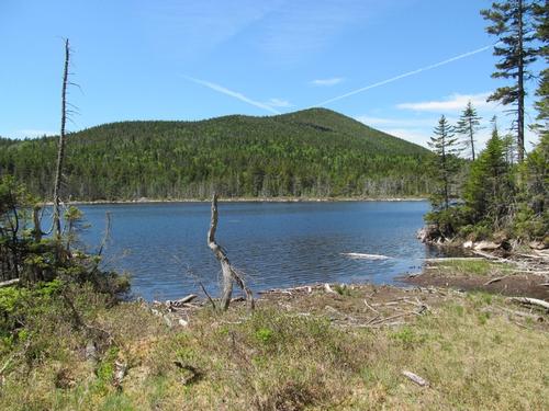
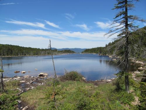
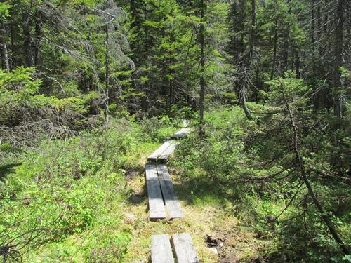
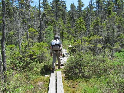
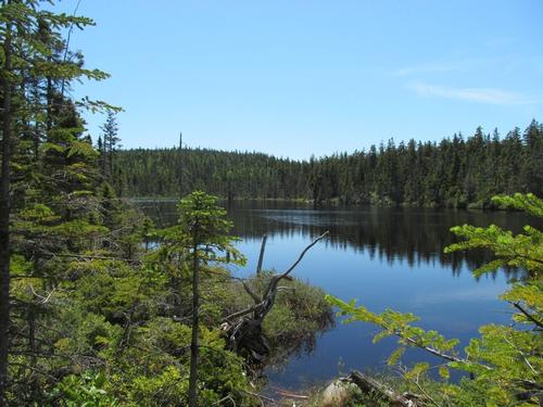
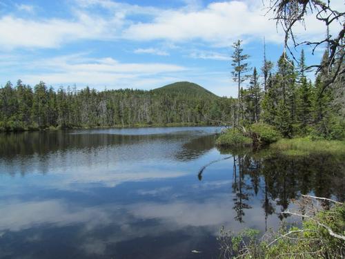
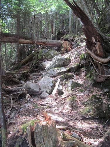
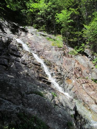
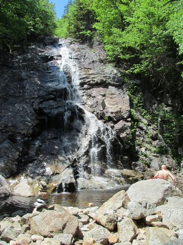
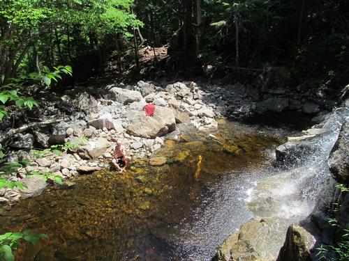
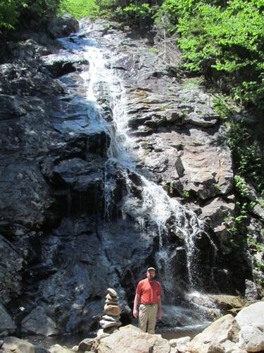
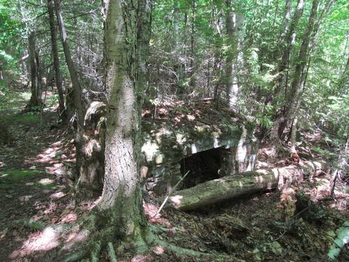
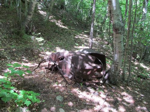
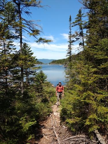
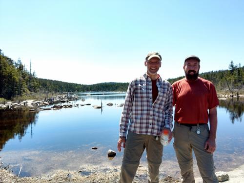
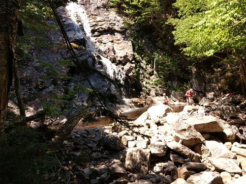
On Sunday morning I awoke just before 5AM with the light. I started to get things organized for the day, but after awhile I took a walk up to Stillwater Junction (a short distance to the north) so I wouldn't disturb the guys. There were some good views of the Bonds and of Mt. Carrigain through the trees and along the brook. Also, I spotted a pine marten running along the opposite bank, while I was exploring. Stillwater Junction was a railroad junction for logging lines back around the 1940's, but there was not much evidence of this period aside from some old concrete bridge abutments on the Norcross Brook. I returned to camp and just relaxed a bit. Finally by just before 7AM I began to nudge Robert and Jeff to get up. We had breakfast, Rob took a refreshing morning dip and we broke camp. Just before 9AM we were ready and hit the trail again. It was once again going to be a warm, sunny day. We headed south back towards the junction of the Carrigain Notch and Desolation Trails. Once there, we continued on the Notch Trail. This was for the most part a nice fairly level woods walk. After only 15-20 minutes we reached the Nancy Pond Trail and continued on. This trail also remained fairly level as it meandered through the woods with a few brook crossings along the way. It was amazing how many Lady Slippers, that we found along the path. While this trail probably doesn't see alot of foot traffic, it was easy to follow with the exception of a small stretch, which was somewhat overgrown. After this point the grade began to increase as it got closer to the pond effluent. We popped out on the ledge at the end of Norcross Pond at about 10:30. There was a great view of Mount Nancy to the north and of the wilderness looking directly out to the Bonds. The pond was absolutely beautiful here. We waited a bit for Jeff to catch up and after 15-20 minutes we were all here. We took a nice break and then by 11:15 we started to make our way along the northern shore of the pond. It was stunning with views of Mt. Anderson rising from the opposite shore. We reached the eastern end of the pond by 11:30 and followed the trail through the woods as it passed a smaller pond before emerging out onto the shore of Nancy Pond about 15 minutes later. This trail continued to be mostly level until about 12:15, when it started to descend by a series of rocky switchbacks down along the Nancy Cascades. It was about 12:35, when I reached the bottom and Rob was already in the water! Even though the water flow was modest, the main cascade was beautiful. Jeff caught up by a little before 1PM and we continued our break, allowing him to rest up as well. After 15-20 minutes we continued down the trail and it wasn't long before we encountered a section, which had been re-routed up the bank. There were also some remnants of the old logging days about half-way down the trail and just before we crossed the brook for the final time. The trail became much easier and by 2:45 we emerged back out at the trailhead.
While Jeff got situated, I drove Robert back to Sawyer River Road to pick up his car and we returned, before we all headed to Fabyan's Restaurant in Bretton Woods for a light meal (Robert headed up ahead of us to take another swim to freshen up in the Saco River on his way up through the notch).
It was a spectacular weekend; we couldn't have asked for better weather and the views were amazing. We saw noone within the boundaries of the wilderness and this is what it is all about. It was so peaceful and beautiful. Robert was in his element with all the water around and while Jeff definitely challenged himself, he a real trooper throughout! It was a fun time with the group and hopefully, we'll all enjoy future backpacks!
Event photos (83)
Reactions
Log in to react to this trip report.
About this event
Join me for an modest 2-day backpack over Mt. Carrigain with a stay in the Stillwater Junction area before returning via Norcross and Nancy Ponds. We will hike over Mt. Carrigain (4700') using the Signal Ridge and Desolation Trails into the Pemigewasset Wilderness for an overnight in the area around Stillwater Junction. Despite the 3300-foot elevation gain this trail mostly follows the old access route to the former summit fire tower (now an elevated viewing platform) and its grades are relatively moderate. There are great panoramic views from the ridge and summit tower...in fact, on a good day 43 other 4000-footers in the Whites can be seen from its peak. Stillwater Junction is the site of an old railroad junction for spur lines, which fanned out into the wilderness. There are some excellent camping spots along the Shoal Pond, Norcross and Carrigain Brooks...along with great swimming holes and cascades. There should be ample time to swim and just relax. We'll return via the Nancy Pond Trail, where we'll pass Nancy and Norcross Ponds as well as the beautiful Nancy Cascades.
Total Distance and Elevation Gain: The mileage for each of the two days will be approximately 8-9 miles with about 3380 feet in elevation gain on Saturday and 1300 feet in elevation gain on Sunday. NOTE: The total mileage will depend on where we camp, but it is expected to be about 17 miles.
Harsh weather may postpone to another date or cancel, as appropriate.
What to Bring: You will need a pack, tent/bivy, sleeping bag/pad, extra dry clothes/towel, food for 2 lunches, 1 dinner and 1 breakfast, headlamp, bear bag/cannister, camp stove, water filter, etc. (some double up is possible for shared equipment...tents, bear bags, stoves, water filter). Typical summer hiking gear should be appropriate: convertible hiking pants, good sturdy hiking boots with thick socks and a windbreaker/raingear (just in case). Snacks and at least 2 liters of water (water can be filtered along the way). Optionally, pack bug repellent, sunscreen, swimsuit/towel and anything else that you may require for a multi-day hike. NOTE: This will be primative camping in the wilderness.
Afterwards: If there is sufficient interest, we will have drinks and/or dinner in the area on Sunday.

Comments
No comments yet.
Log in to join the conversation.