
The trip report
Written by a member
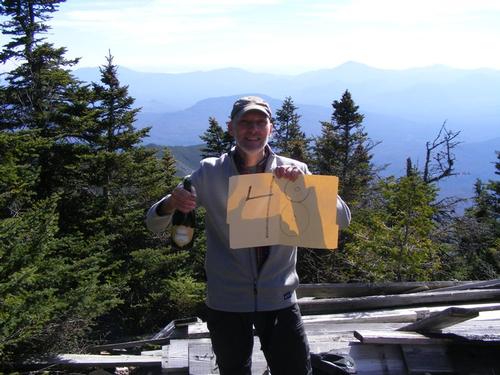
With five days to spare – I did it – I finished my 48th summit in my 48th year of life – so cool!!
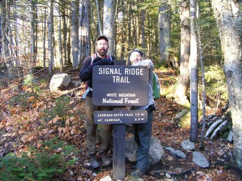
Saturday morning started bright and early for the trek to Mt. Carrigain was a long one – four hours. With a pit stop at dunkin donuts for coffee and breakfast to go we arrived at the trail head right at 9am. Stephen had arrived a few minutes before us and was chatting up many hikers who were making the same trip we were. On such a beautiful blue bird day it was not surprising to see that the trails were busy – Saturday was a top ten autumn day.
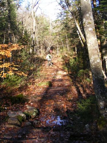
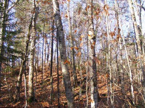
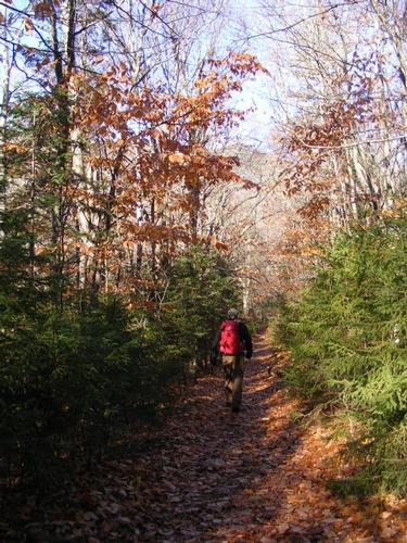
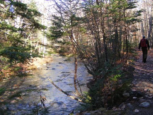
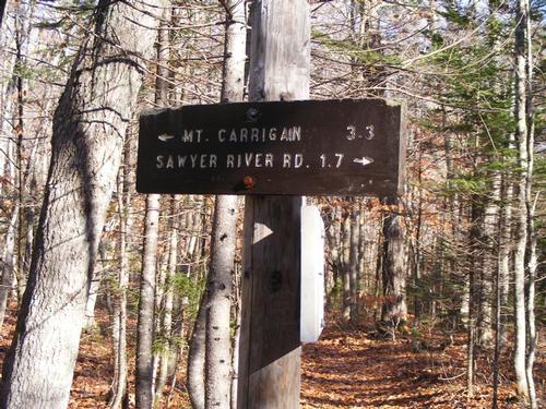
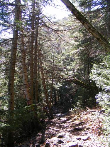
This trail was fun. It started out simple enough along an open forest that followed the river’s edge on a relatively flat landscape. As we pulled away from the water’s edge the trail began a modest ascent. It was here we began to notice where the trail was rerouted and we saw traces of the reroute all the way up. We again plateaued and walked quite casually on a flat landscape for about ¾ of a mile coming to a river crossing. Recent rains made this crossing tricky. It was not a deep, just wider than it ordinarily might be with few large rocks to skip on. The week’s rain swelled what is most likely a small stream. Stephen managed to skip across and keep his feet dry while Jim and I were more cautious and took our boots off to cross. We don’t mind wet feet – just not at the start of a hike!
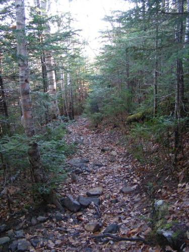
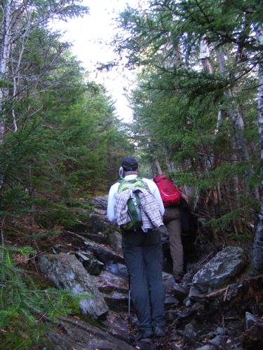
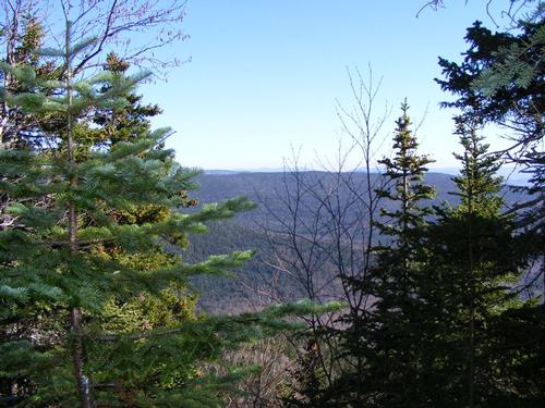
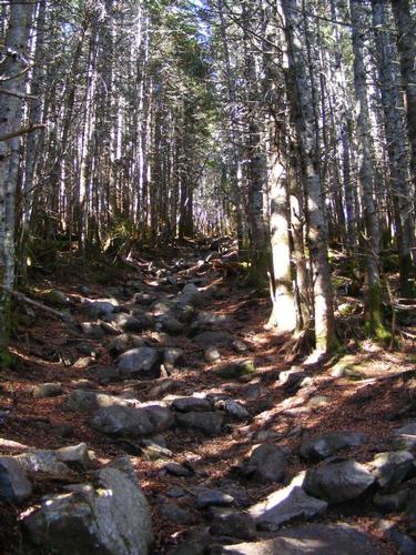
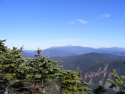
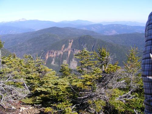
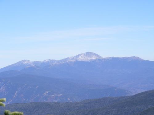
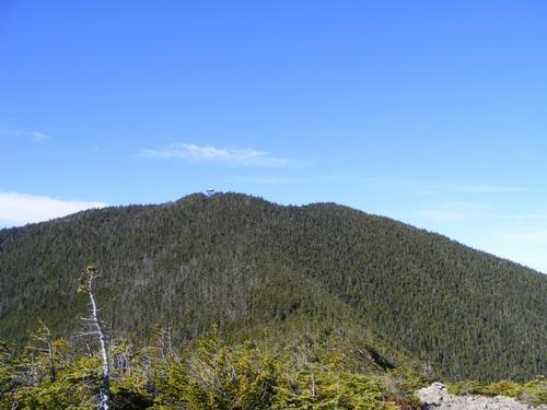
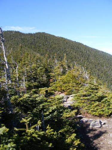
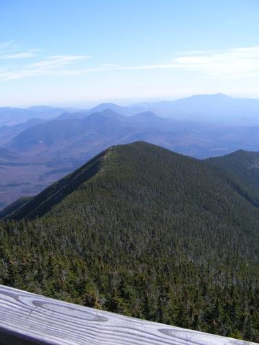
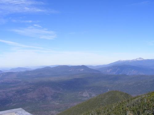
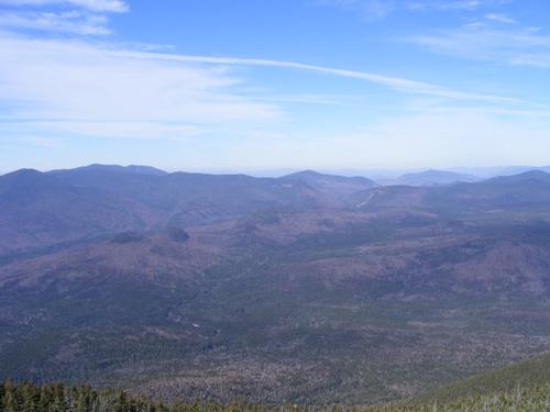
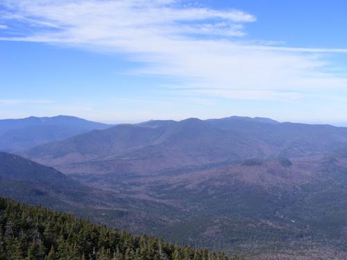
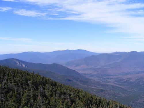
We carried on the flat landscape a little longer. Like our previous hike – Mt. Moriah – the trail was really a nice meandering walk and then the ascent starts. The trail up was a series of switch backs which were very manageable. We stopped for a snack when it seemed the ridge was still a bit off. As always… within minutes of resuming the hike we broke the tree line and found ourselves on the ridge with magnificent views of the presidential and surround summits – all very recognizable. The trek along the ridge was short – but super sweet. A short ½ hour later we were atop Mt. Carrigain – goal achieved! Stephen and Jim were awesome hiking buds – we toasted with a little champagne and found a spot in the sun and had lunch and chilled for a good 45 minutes. We started the morning hike around 9:15 and were on the summit sometime around 12:30pm. While lunching at least two other groups, if not three, had a member celebrating their 48th summit.
As always, every climb up has its climb down. In our group shot the sun was so bright we were squinting. If I could have captured the beauty of this day in a bottle I would have – all the more reason to appreciate where you are in the moment. My camera batteries died out and so my photos are all of our ascent and time on the summit. The descent was quick and as fun filled as the day. We finished the hike around 4:00pm and then headed off to Woodstock Brewery for a small bite to eat. By 6:30pm we were all headed home. It was an early start to a big day with a brilliant finish. Thank you Stephen & Jim for making this hike just a bit more special. Cheers gents and see you on the trails!!
Event photos (24)
Reactions
Log in to react to this trip report.
About this event
Is it too early to say winter is on the horizon? It might be, but I love it so much. It is still October – and while the fall colors are fading we still have time for some hiking before micro-spikes, crampons, snow shoes and puff coats become the norm. Join Jim and me for a fun filled hike up Mt. Carrigain. For me Mt. Carrigain is my 48th 4000 footer – a milestone reached. For Jim, it’s summit #17.
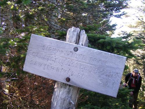
The trek will take us up to 4,700’ over 5.2 miles via the Signal Ridge Trail. Carrigain is a little on the remote side which makes for a full day of hiking up and down along the same path. The trail head is located off of Sawyer River Road which connects with Route 302 just outside Bartlett, NH.
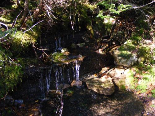
Signal Ridge Trail ascends along the south side of Whiteface Brook offering views of small cascades and pools. The trail is of moderate ascent for approximately the first 2.3 miles. There are a few river crossings but given how dry the conditions have been, I am counting on them being reasonable. This particular trail was relocated in 2012 and so we will be hiking sections that are “new” and periodically connecting with the “old.”
At approximately 2.7 miles the trail starts a steeper ascent and continues ascending until we reach the summit. Along the way we’ll get views as well as visiting the site of an old fire warden’s cabin. At the summit there is a fire tower which can be climbed for 360 degree views.
We’ll hike at a decent pace. The trail is 10.4 miles round trip with 3,300’ feet of elevation gain.
The Plan:
On Saturday morning we’ll meet at the Signal Ridge Trail Head for a 9am start. Post hike we can grab a bite and refreshments if there is sufficient interest.
A forecast of steady rain reschedules the hike to Sunday, October 29th.
What to bring:
Food: Bring a lunch for Saturday’s hike along with snacks and water. As there are water crossings, bring a water filter if you wish to carry a lighter load of water.
Clothing: No Cotton! This is late autumn; expect temps to be varied and as low as to 30’s to highs in the 60’s. We’ll know what the weather brings closer to the hike. It is always good to bring layers, gloves, and hand warmers – whatever your comfort level requires. Because daylight ends earlier – remember to bring your head lamp but we should be exiting at or a little before sunset.
Who came along (2)
 GUEST MEMBER
Comments
No comments yet.
Log in to join the conversation.