
Willey Range Traverse
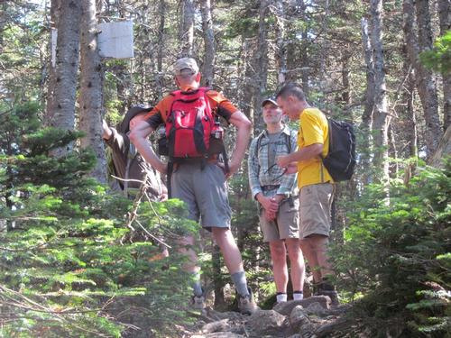
A fun and beautiful hike traversing the Willey Range with Chuck, Dave, George and Robert!
The trip report
Written by shep5
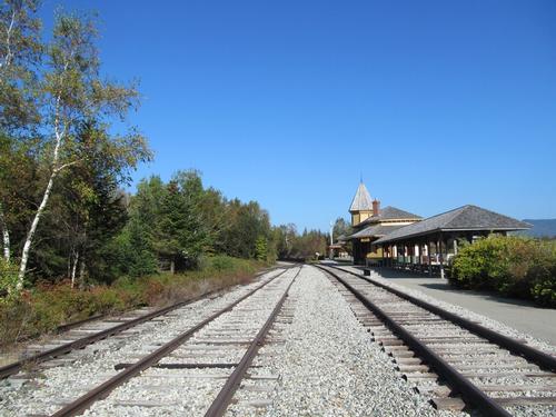
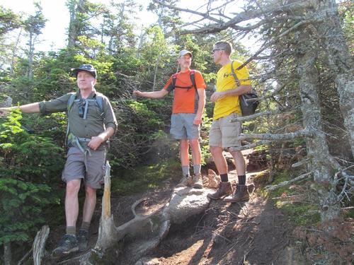
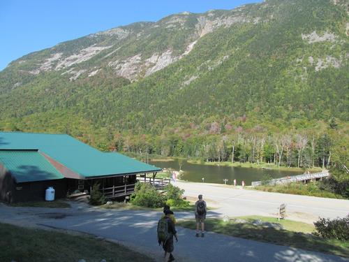
On Sunday, September 24th, Chuck, Dave, George, Robert and I met up at the large parking lot across the road from the Willey House at 9AM. We got ready and carpooled up to the Crawford Notch Station across from Saco Lake. It was another absolutely beautiful day with clear blue skies. It was going to be another hot and humid day, despite the fact that it was fall!
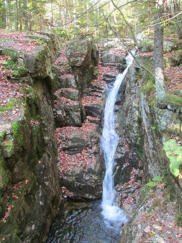
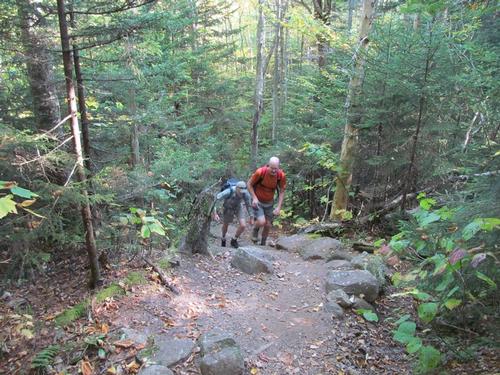
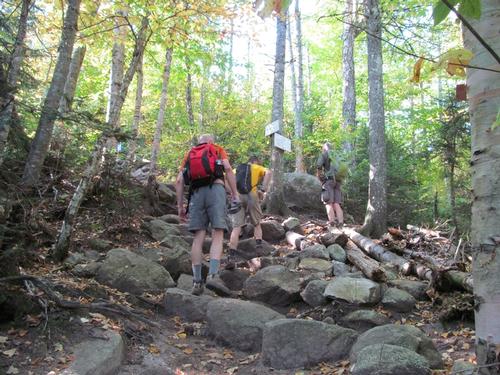
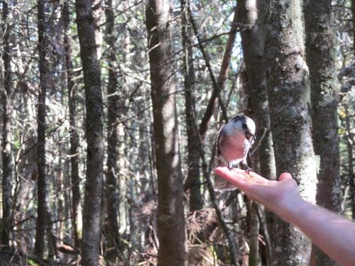
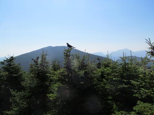
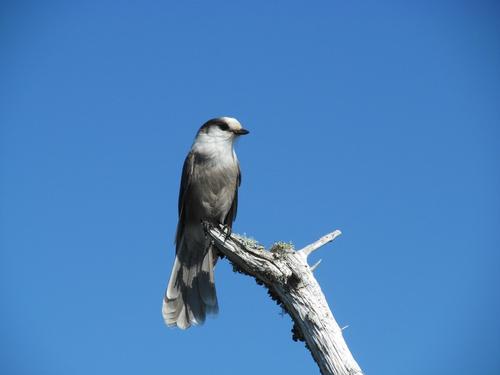
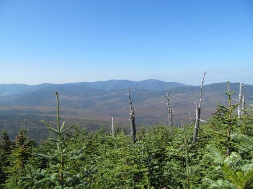
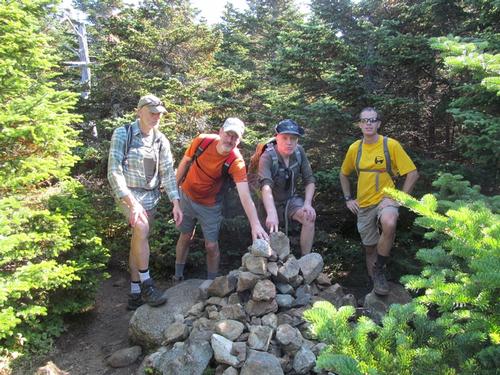
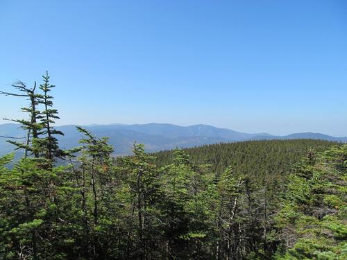
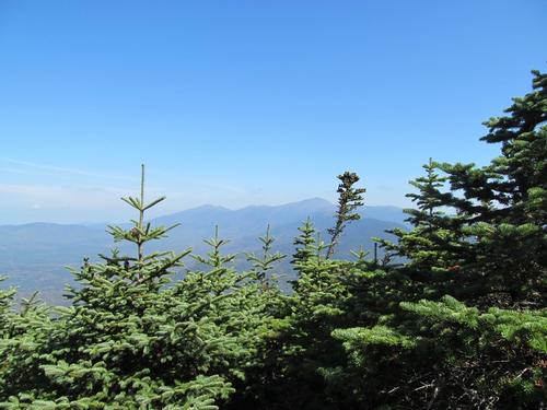
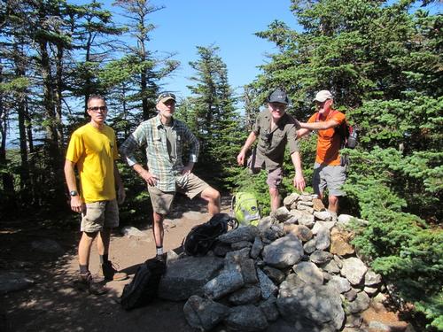
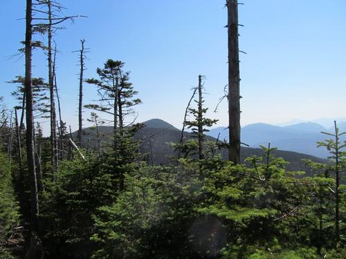
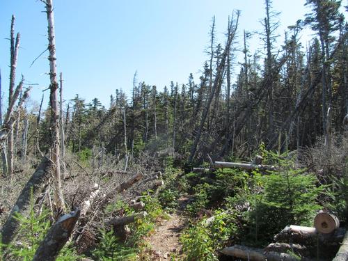
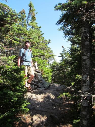
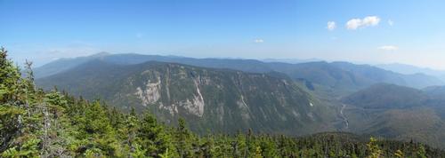
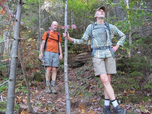
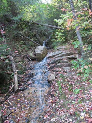
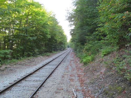
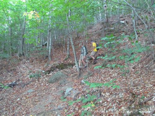
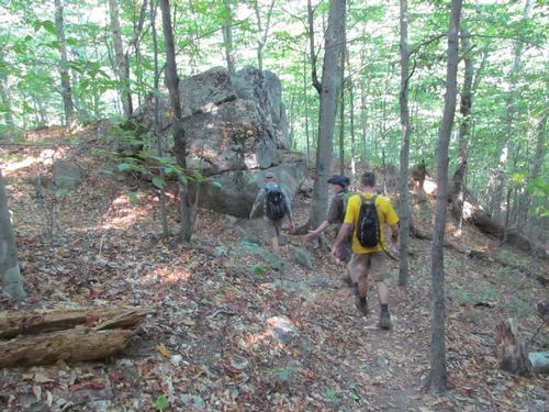
We crossed the tracks and began climbing the Avalon Trail, which headed into the woods behinds the railroad station. It was 9:20. The trail was modest in grade and we stopped to check out a trailside cascade along the way. We reached the trail junction with the A-Z Trail at just before 10AM. Shortly, after this the A-Z Trail descended briefly before making a more agressive ascent almost the rest of the way to the col between Mount Tom and Field. We made it to the Mount Tom Spur Trail in about another 40 minutes. We took a break and then proceeded to climb up the spur. This was fairly quick and easy with the exception of a short steep stretch and we were up on the summit of Mount Tom (4051') at a little after 11AM. Before going over to he summit cairn, we first took the southern trail over to an outlook towards Mount Field. Afterwards we took the other summit trail, which headed a short distance over to the cairn and the view just beyond. There was a great view of the Twins, Bonds, Hale and Zealand here. All along the summit, we were being stalked by a couple of gray Jays, which is typical for this range!
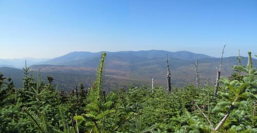
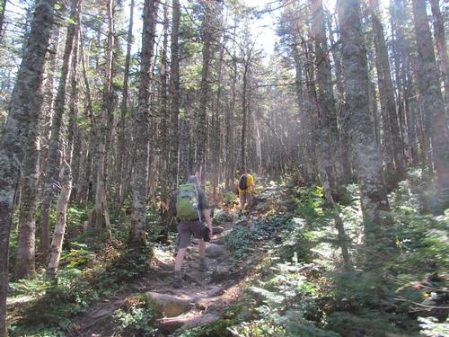
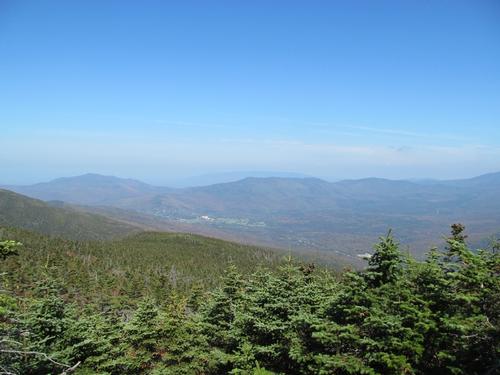
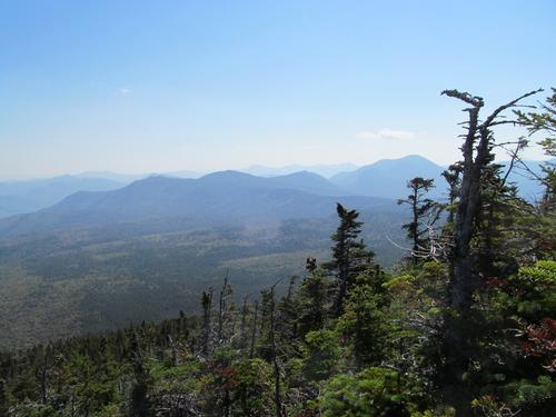
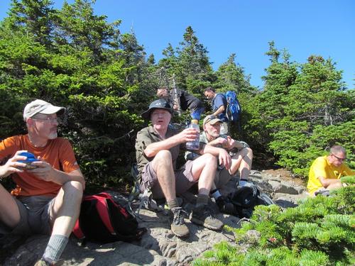
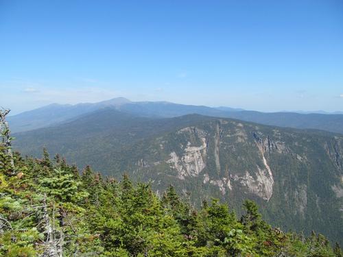
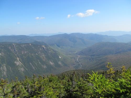
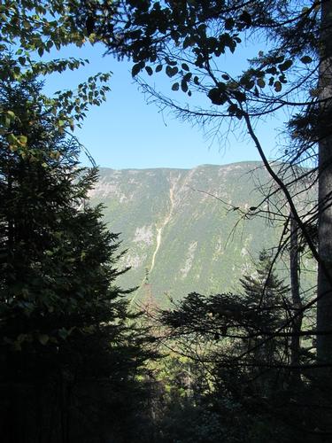
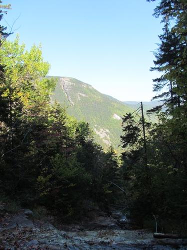
We returned to the A-Z Trail and proceeded a little further to meet up with the Willey Range Trail, which we turned onto. This trail climbed at a fairly persistent grade and we reached the upper junction with the Avalon Trail at about noon. The summit of Mount Field (4340') was a short distance and a little bit of a steep climb further along the trail. There was a view over the Mount Washington Valley as well a view back along the ridge. We took a short snack/lunch break by the summit cairn before proceeding. The trail descended steeply in spots as we descended the peak and we made good time reaching Mount Willey's treed summit (4285') at a little after 1PM. Since there wasn't much to see here, we immediately headed for the view just beyond the summit. The view was spectacular looking predominately north and east over Crawford Notch with the Presidential Range in the distance. We had the rest of our lunch/snack break here while chatting up some fellow hikers for a bit.
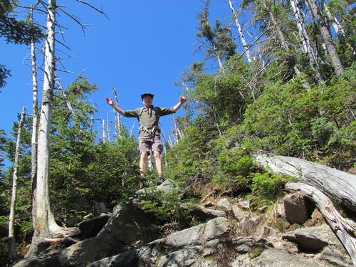
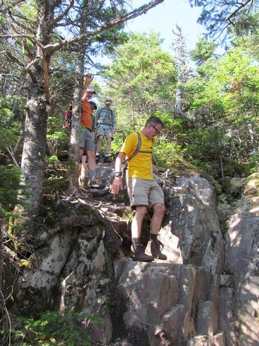
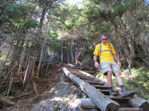
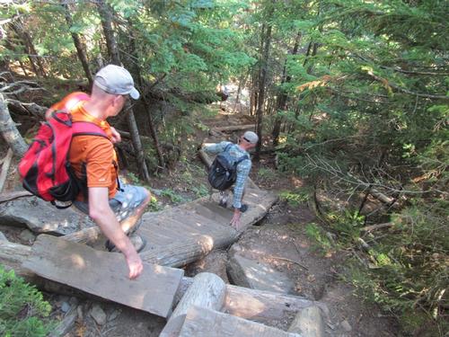
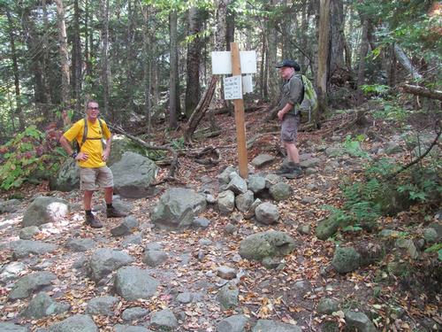
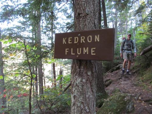
At about 1:30 we began the descent off of the range, This was persistently steep and in half-an-hour we reached the series of ladders, which assisted on the steepest portion. It took us about another 20 min to reach the junction with the Ethan Pond Trail (AT). The trail was alot easier from here as we proceeded a little further and then turning onto the Kedron Flume Trail at 2:30. The trail was rocky as it descended down to the flume, which we reached at 2:45. The rest of the trail descended via a series of switchbacks and by 3PM we were crossing the railroad tracks and by 3:15, we emerged from the woods behind the Willey House. We got situated and drove back up to Saco Lake to collect the other cars. Afterwards, Chuck, Dave, George and I had a drink and snack at Fabyan's before calling it a day (Robert headed out to take a dip in the water before for his long drive back).
Another amazing day in the White Mountains! Man, did it feel like the summer we seemed to have missed this year! A huge thanks to Chuck, Dave, George and Robert for coming up and joining me on this Sunday hike. What great camaraderie throughout the day!
Event photos (41)
Reactions
Log in to react to this trip report.
About this event
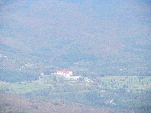
Join me for this 8.5 mile hike, which will ascend to the ridge by way of the Avalon and A-Z Trails...steeply in some sections. From the top there is a short spur trail to Mt. Tom (4051'). We'll then continue on to Mt. Field (4340') and Mt. Willey (4285'). Both are tree covered, but there are some very nice outlooks into Bretton Woods, Crawford Notch and into the Pemigewasset Wilderness. We'll descend the range into Crawford Notch via the Ethan Pond and Kedron Flume Trails. NOTE: The sections between Field and Willey and the descent off of Willey are relatively steep. There are stairs/ladders to assist with the steeper sections.
Total Distance and Elevation Gain: 8.5 miles with approximately 3100 feet in accumulative elevation gain.
Total Time: Approximately 7 hours depending on breaks and group's speed.
Harsh weather may postpone to another date or cancel, as appropriate.
Camping Option: Contact me, if you're interested in camping Saturday night. I would be happy to set something up or provide details to share my site.
What to Bring: Typical summer hiking gear should be appropriate: convertible hiking pants/shorts, good sturdy hiking boots with good traction and thick socks, a windbreaker/raingear. Also bring along lunch, snacks and plenty of water (at least 2-L). Optionally, pack sunscreen and anything else that you may require for a day hike.
Afterwards: We will head over to Fabyans in Bretton Woods for drinks and dinner, if there is sufficient interest.


Comments
No comments yet.
Log in to join the conversation.