
Mt. Liberty Winter Hike
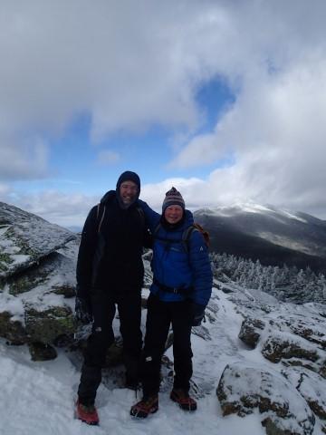
Thank you Jim for joining me it was a delight catching up with you. We’ve not hiked since Mt. Moosilauke last winter; good to see you on the trail.
The trip report
Last updated by Gandalf on Mar 12, 2017
test
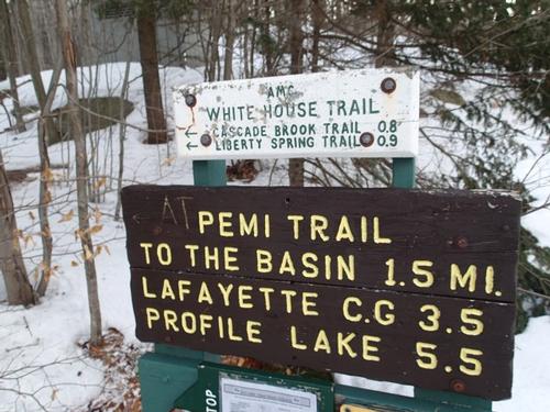
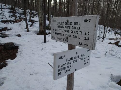
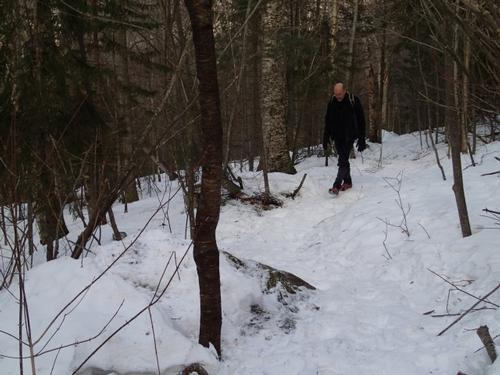
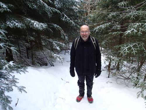
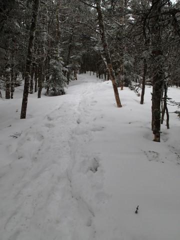
I enjoy hiking Mount Liberty as a winter dayhike since it's a good distance for days without too much daylight and only has a short section of trail exposed to the elements. For this trip, Jim and I used MicroSpikes from start to finish since the trail surface was pretty hard packed despite the record breaking warm temperatures. I was wearing my Sorel insulated winter boots and Jim was using his summer hiking boots. I carried trekking poles. I met Jim at the trailhead at 9:00 AM; there were about a dozen vehicles in the parking area at the Whitehouse Trail parking area. We packed up and started with MicroSpikes on the Whitehouse Trail, joined the bike path and then reached the true beginning of the Liberty Springs trail.
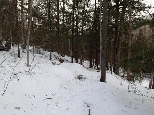
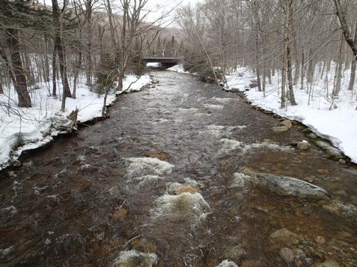
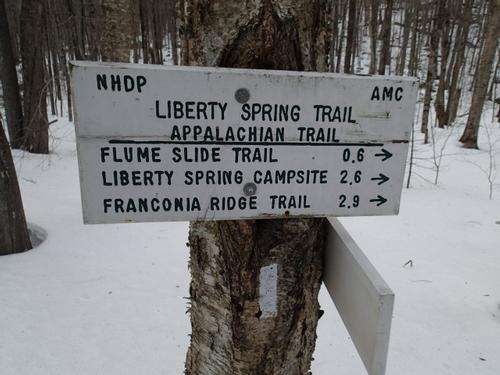
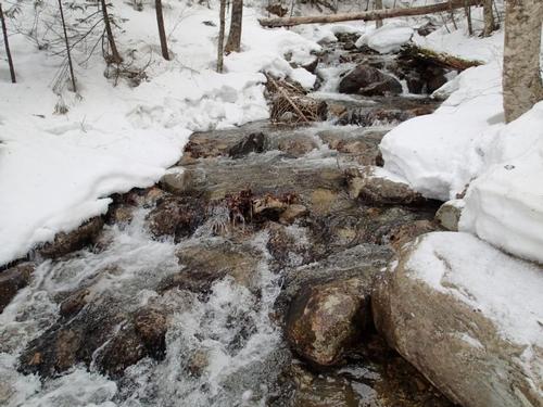
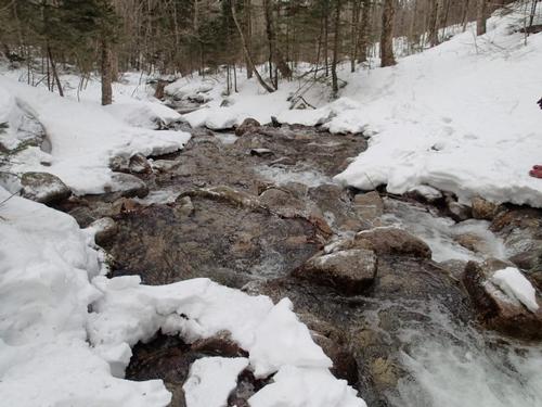
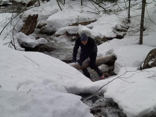
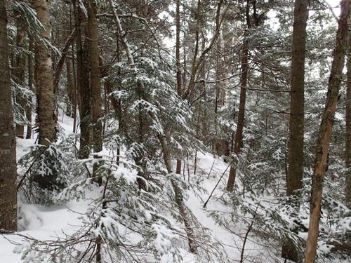
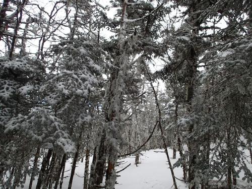
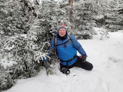
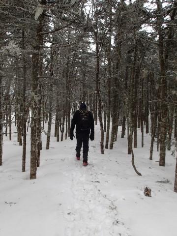
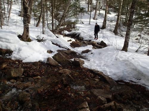
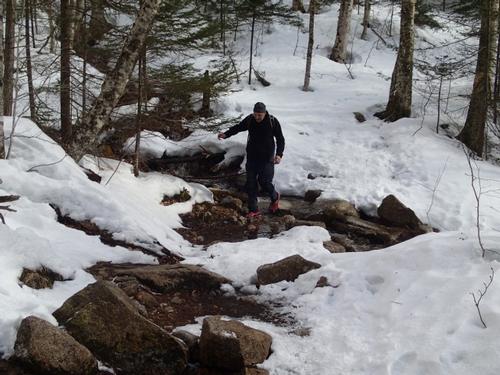
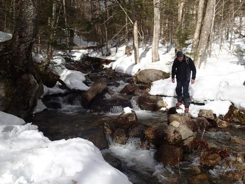
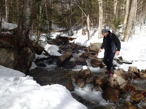
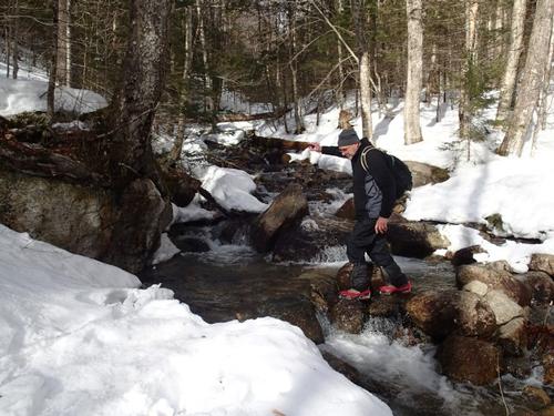
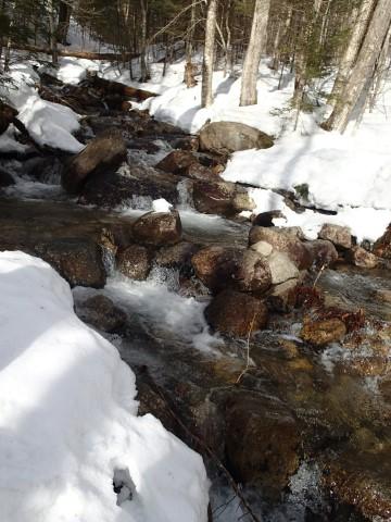
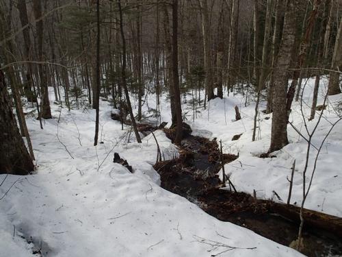
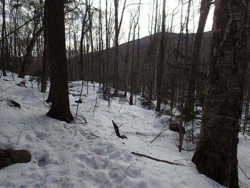
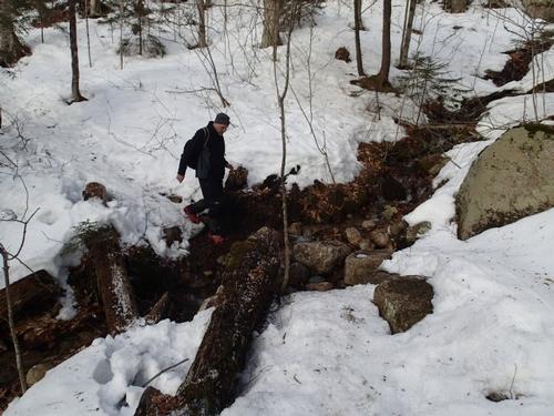
The first stop we took was at the trail junction with the Flume Side Trail. The trail remained hard packed however prior to reaching the junction there were sections of trail with running water and we had to skirt off the trail to avoid them. After some water, we pushed on. The woods were gorgeous with a slightly overcast sky but it didn't dampen our spirits at all. As we gained more elevation things got a little colder, something we'd have to keep an eye on. The major brook crossing of this trip was a bit tricky due to all the snowmelt. Jim opted to sit and cross a log while I rock hopped. After this crossing the trail gets a little steeper.
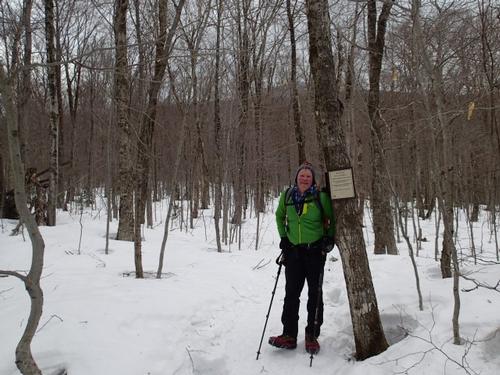
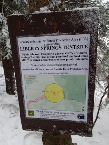
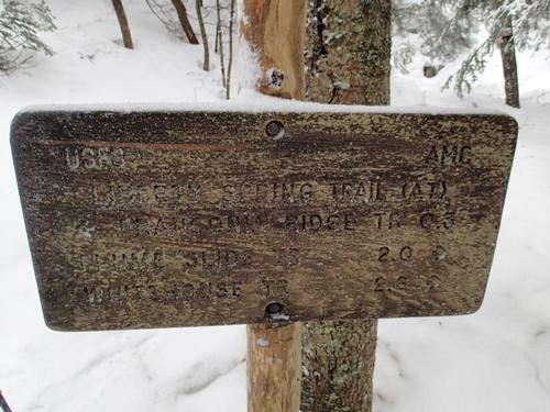
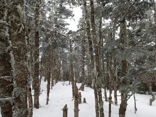
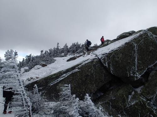
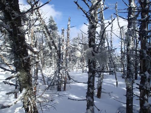
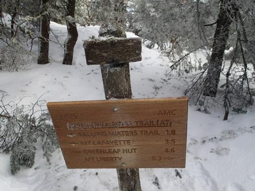
It was a long, steady slog up the west slope of the mountain so travel remained fairly slow. We reached Liberty Springs Campsite and settled on having lunch here since high winds were forecasted for the summit. We cooled off very quickly, so lunch was short and cold. We added some more clothes. There are no views here. After only a 15 minute break, we were back on the trail for the .3 miles to the ridge. As we approached the ridge, the hanging moss on the trails was beautiful. The snow was still nearly reaching the signs and blazes at this higher elevation. The route up to Liberty looked in fine shape. At the sign we put on our face protection, put in some hand warmers and then headed for the summit.
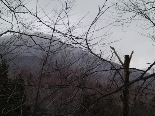
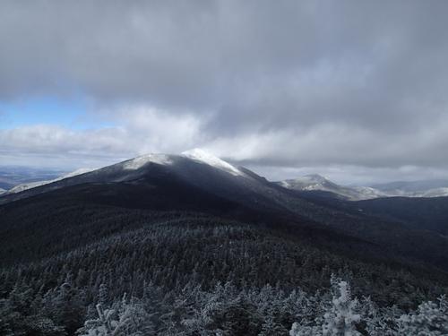
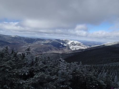
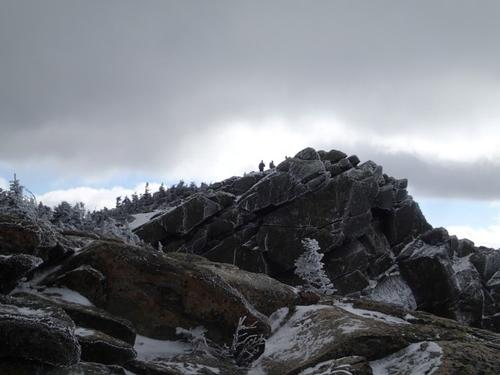
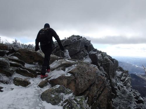
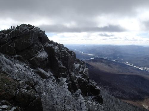
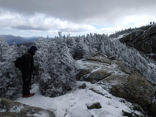
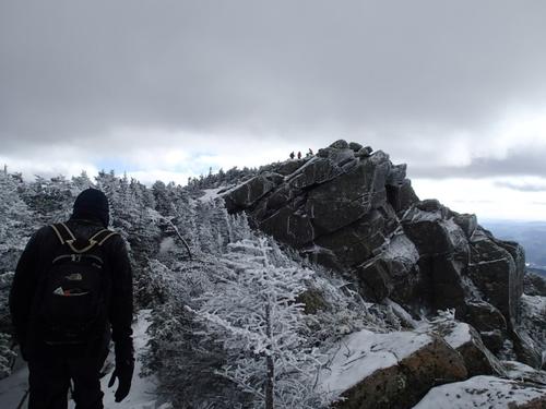
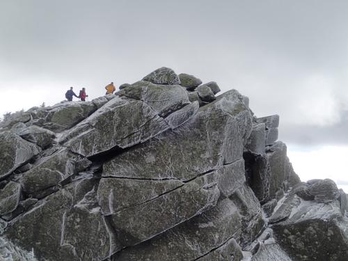
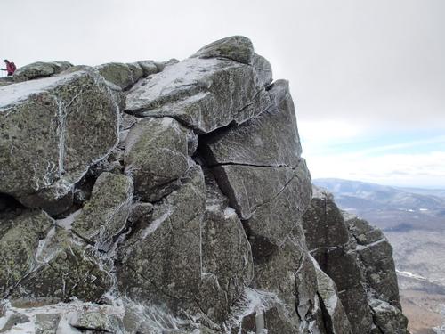
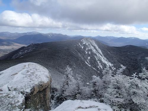
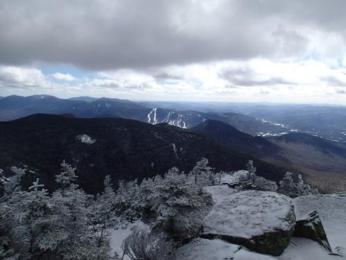
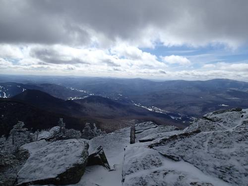
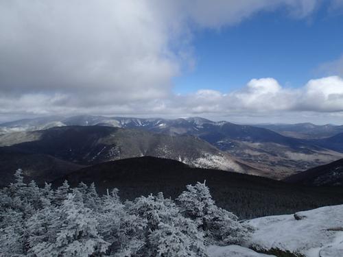
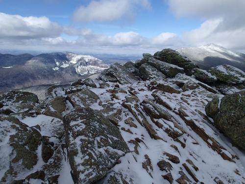
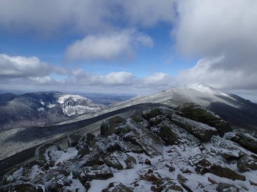
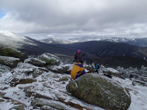
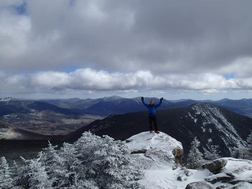
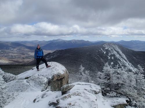
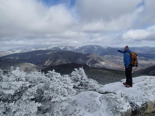
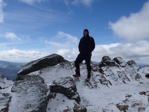
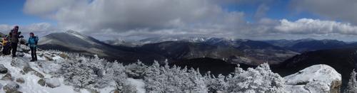
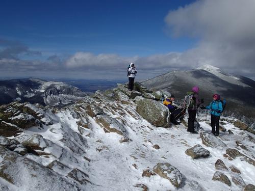
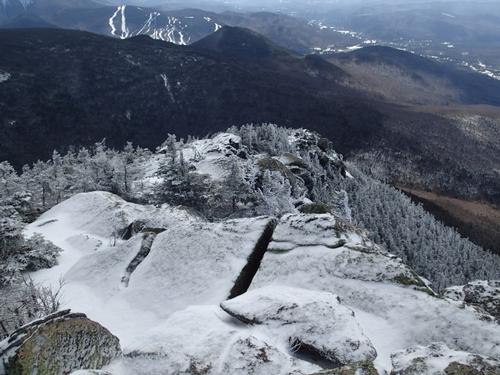
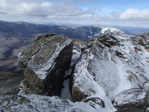
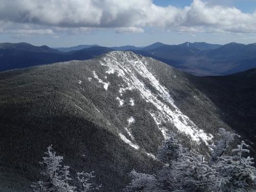
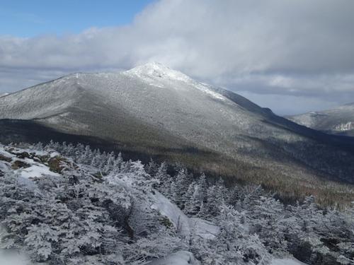
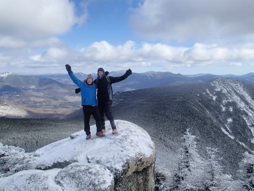
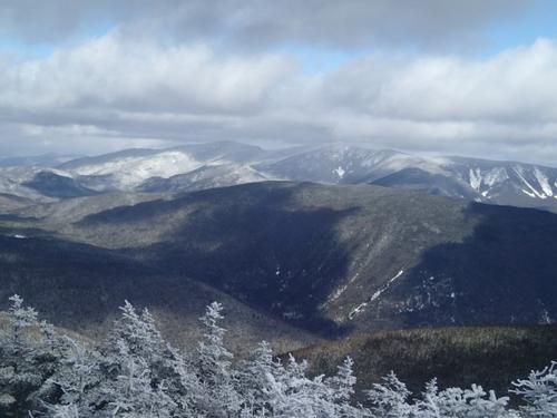
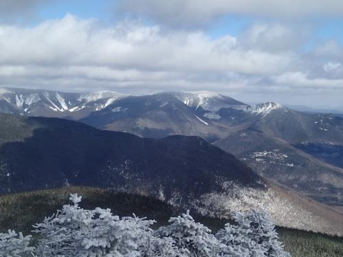
It's only .3 miles from there to the top, and you quickly come out of the trees. I love that feeling, of coming out on top of the world. Jim and I passed a group of women at the sign on the ridge and they were following behind us. We reached the summit around 12:45PM and there were others taking in the views. The winter views were wonderful, and I shot a bunch of pictures in all directions. We had the full Pemi laid out in front of us, although we could not see as far as Washington. The Franconia Ridge was clear. The summit of Mt. Liberty was in the clear, and mostly free of wind. We hung out on the summit and enjoyed the fruits of our labors.
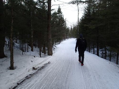
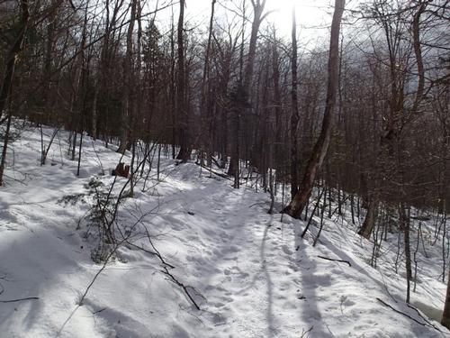
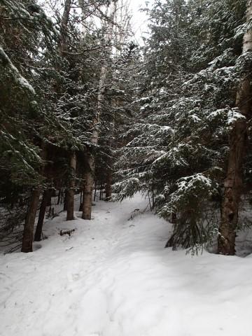
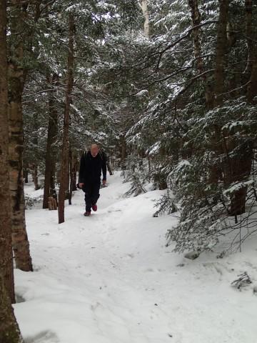
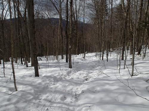
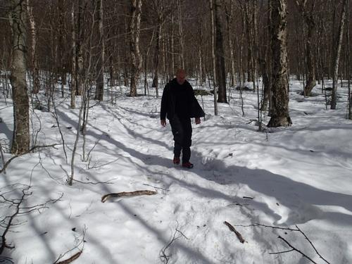
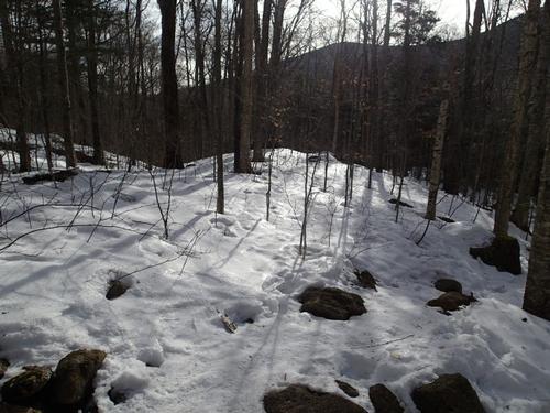
After our rest, we headed on down; and our speed was pretty good. We came down the steep section at a rapid pace. The rest of the trip out was a nice walk in the snowy woods. We only met one group of younger folks who sped past us on the descent; other than that, we had the woods all to ourselves. Aside from the few snowmobiles on the short stretch of the bike path, it was a quiet and enjoyable hike out. We made it to our vehicles around 3:30PM.
Thank you Jim for joining me it was a delight catching up with you. We’ve not hiked since Mt. Moosilauke last winter; good to see you on the trail. Hopefully I’ll see you on an upcoming adventure. Cheers – a brilliant day all around!!
Report and pictures by Mike Boisvert
Event photos (70)
Reactions
Log in to react to this trip report.
About this event
At 4459 feet, Liberty is the 18th highest mountain in New Hampshire. If the Old Bridle Path and Falling Waters Trail in Franconia Notch, New Hampshire, have a younger sibling, the type eager to prove it’s every bit as sweat inducing with equally dazzling views, then without question the Liberty Springs Trail is it. Almost literally in the shadows of its 5,000+ foot neighbors Mt. Lafayette and Mt. Lincoln, Mt. Liberty might not measure up to its bigger siblings, but it’s no slouch of a mountain either at 4,459 feet.
It sits at the southern end of the Franconia Ridge Trail and affords terrific 360 degree views of the Notch to the West and into the Pemi to the East.
We will park just north of the Flume Visitor Center and hike the connecting Whitehouse Trail over to the start of the Liberty Spring Trail. After about .8 of a mile, the Liberty Spring Trail will begin right, off the Franconia Notch bike path. The Liberty Springs Trail, which is also part of the Appalachian Trail, offers a challenging climb with a reward at the end well worth the effort in all seasons. The trail climbs steadily and moderately up using trails and old logging roads.
At .6 miles from the start of the Liberty Spring Trail, the Flume Slide Trail begins right. The LST bears left and climbs steadily via switchbacks up to the site of the Liberty Spring Campsite at about 2.6 miles [there is a steep and rough section]. At 3.2 miles we reach the summit and the terrific view.
Round trip distance: 8 miles
Vertical feet: 3250
Approximate time: 6.5 hours
What to wear/bring: Wear warm clothing suitable for the hike in layers...no cotton or blue jeans. Wear a warm hat and gloves and bring hand warmers as a precaution. Bring along plenty of water (at least 2 liters), lunch, snacks and anything else you may require for a day hike. Make sure your pack is big enough to place your jacket and excess clothing into it as you warm up. For footwear, have winter insulated boots and MicroSpikes in case we encounter icy trails. We may need snowshoes if we had a snowstorm just prior to the hike…we’ll let you know a few days before. Contact us if you have any questions.
Boston Area Carpooling: Save money by sharing gas/toll expenses and get to know fellow GO members better! Don't by shy...contact other Bostonians to find a convenient location for you to meet such as a T-Stop, Commuter Line Stop, or a parking lot of a store familiar to you all! Don't forget to tip the driver!
Afterwards: Everyone is welcome to join us back at our house in Waterville Valley to relax by our fireplace [BYOB and bring snacks] followed by one of Jon's delicious dinners. We ask $10 per person to help pay for our food costs. Showers are available so bring a change of clothing to make your visit with us more comfortable.
Lodging Option: Bunk beds are available at our house [with Wi Fi] near Waterville Valley, NH for Friday and/or Saturday nights. It's $25 for Friday night, $35 for Saturday that includes dinner or $60 for the weekend. Coffee/bagels each morning and linen/blankets/towels are provided. Space is limited so email ASAP to reserve a bunk!
Who came along (2)
 SUSTAINING
Comments
Log in to join the conversation.