
The trip report
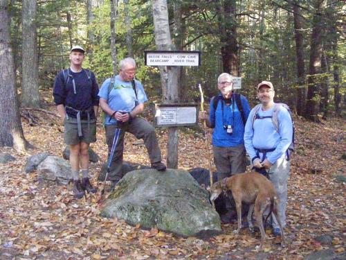
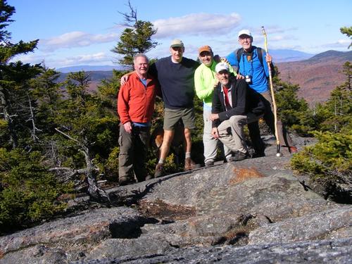
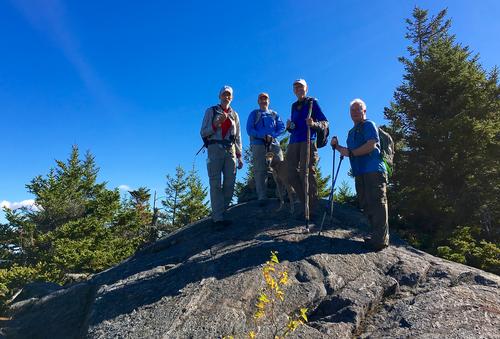
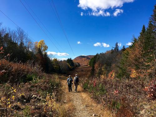
Co-Leader Eric has been busy observing the Chaggim (Hebrew for Holiday’s) that I thought it would be fun to hike Mt. Israel and so we did – on the most brilliant day of the week. Temps in the mid 70’s… bright blue sky, sunny and incredibly colorful. We were joined by Ray, Jeff, Phillip and Soleil. This was Ray’s first GO event so I hope we made it memorable for him. We also learned that Jeff has been one uber hiker having been quite busy, including winter hiking, hitting many a peak. Phillip has become more active with GO and we chatted about his recent trips. This was Soleil’s first GO event and I couldn’t have been happier to have her along.
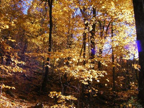
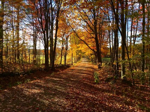
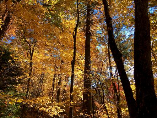
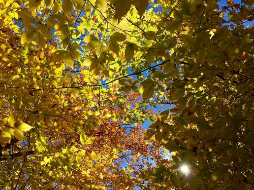
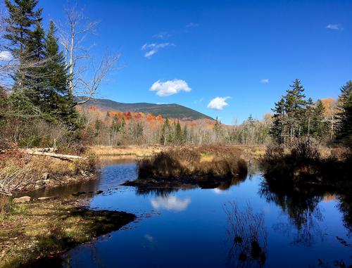
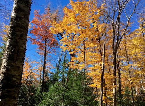
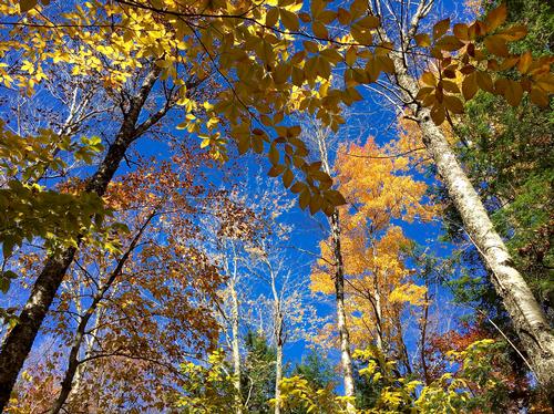
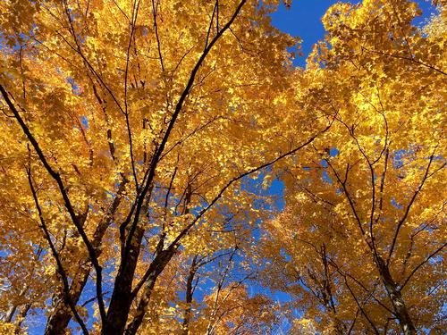
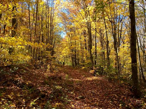
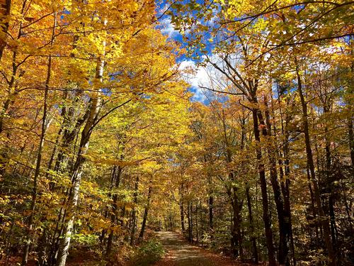
Everyone made it to the trail head by 8:30am. We decided not to spot cars, rather, walk back the roughly two miles which turned out to be a good decision as we concluded the hike walking under a canopy of brilliant yellow leaves – very much New England in Autumn. Sadly as I was preparing to take a group shot – I realized my camera did not have a memory card so my photographs were going to be limited in number. I was bummed. Thankfully other folks had cameras and I hope they upload their photos.
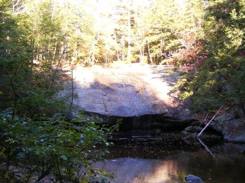
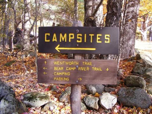
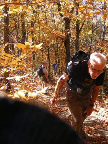
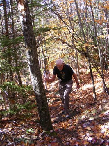
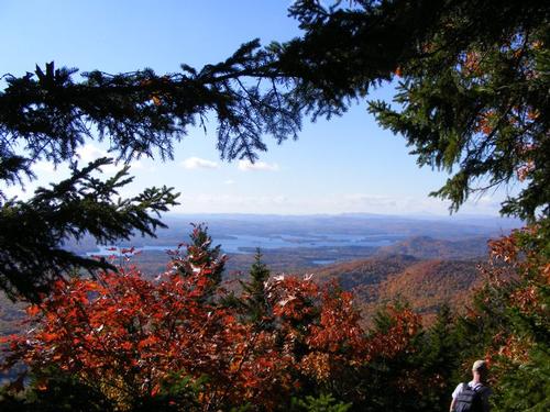
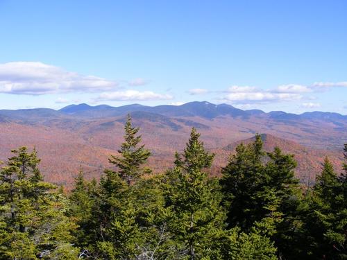
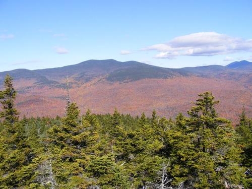
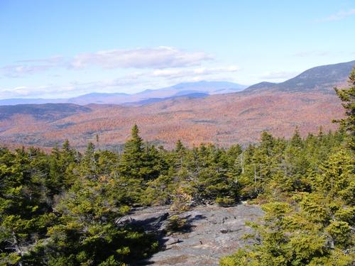
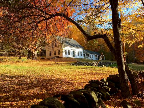
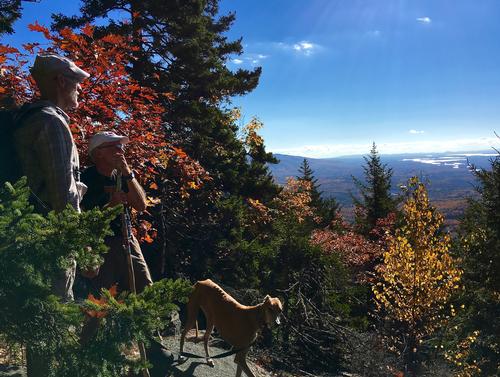
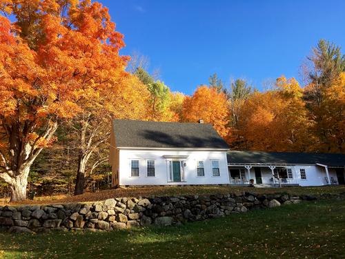
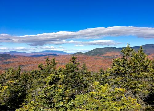
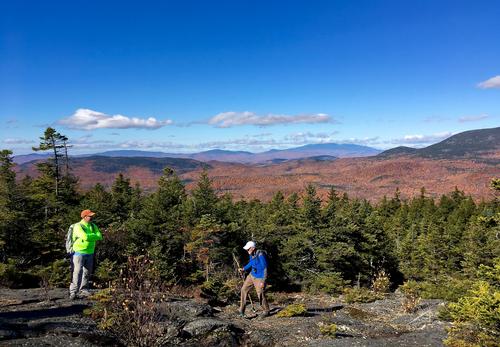
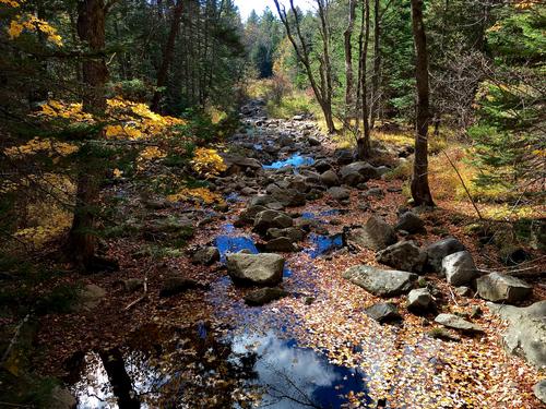
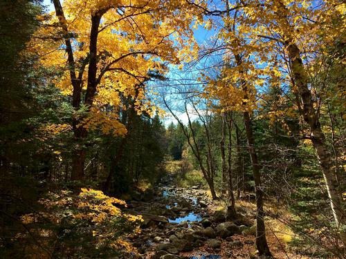
The short .6 miles to the Mead Base Conservation Center was quite picturesque. We pit stopped to view the falls which were running pretty dry but we could imagine the scene had the waters been flowing. We found “Cow Cave” and it was a magnificent stone ledge that provides shelter. We arrived at the center and took in the beautiful scenery…. A long drive flanked by trees glowing in yellow as the sun from above splashed the field led up to a parking lot and old farm house – just beautiful. We found the Wentworth Trail Head and began our 2.1 mile ascent. The trail was picturesque and gave us a regular climb first starting easy, growing to moderate and for a very short bit – slightly challenging. We took many rest breaks to take in the scenery and hike at a leisurely pace. Along the way we took in views of Squam Lake and the surrounding mountains. By 11am we had reached the summit and were treated to a spectacular view of the mountain range. We could identify (and please, more experienced hikers, correct me if I’m wrong) Mt. Chocurua, Mt. Whiteface, Sandwich Dome… in the background were the Tripyramids – all of which I’ve hiked so that was cool.
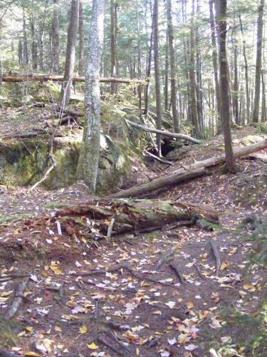
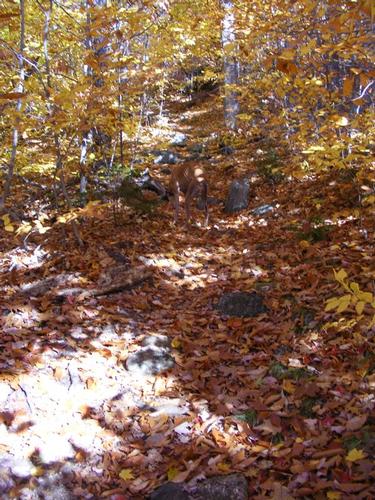
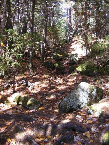
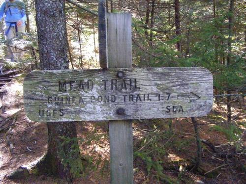
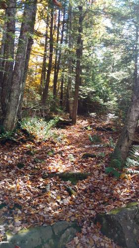
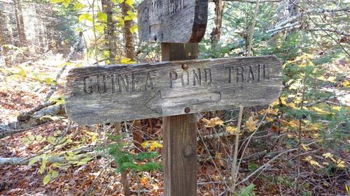
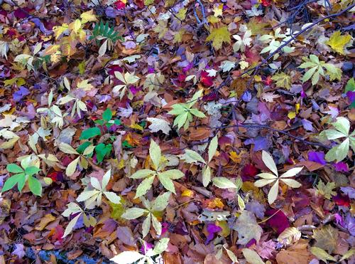
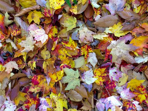
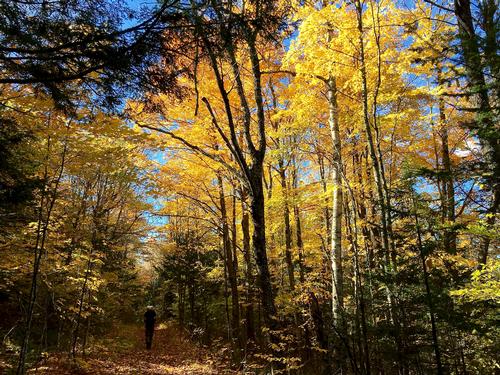
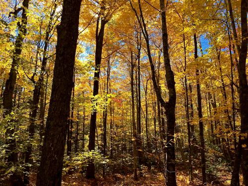
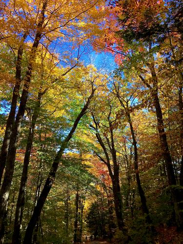
It was cool and breezy at the summit and after taking in the views and a group shot, we started our way down the mead trail for a 1.7 mile steady descent. This side of the mountain was tricky… the trail blazes were few and the leaves hid the trail from time to time. Everything was yellow and bright. We meandered carefully… once getting slightly off track but quickly discovered we followed a water bar to the left. We arrived at the trail junction for the Guinea Pond Trail and carried on. Here the trail also got tricky. The guidebook mentioned an impassible flooded area due to beaver dams and there was a detour marked with pink flags. The signs identifying the detour were knocked down as well. The conditions were incredibly dry and we could see a proper path and bridge that we could follow. We opted to follow the flags which of course took us in a wide circle around the very trail we could have used because it wasn’t flooded. With the detour behind us the remainder of the trail was easy to follow and picturesque. We came out onto Sandwich Notch Road. From there we made our way down to the parking area but really enjoyed the walk under the canopy of changing colors. It also made the hike roughly 8 miles which for folks who know me… I kind of love… the longer, the better. I know Phillip and Ray took some great photos – I hope they upload them.
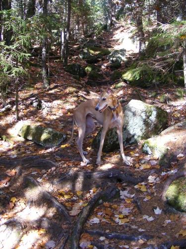
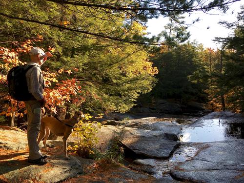
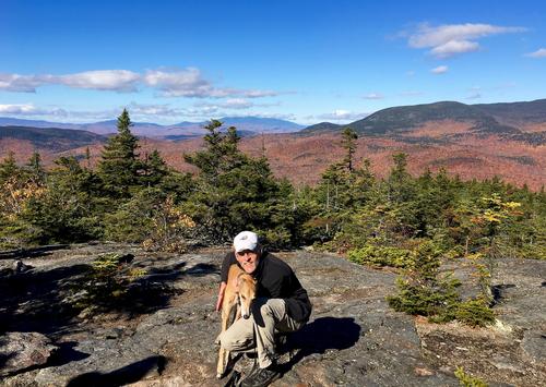
Huge thanks to Eric for co-leading and many thanks to everyone for making this a memorable day. Eric and I had to be back at respective hours and so we hugged it out and thanked each other for a great day. Thanks to everyone for accommodating Soleil… she often led the hike but always checked back to make sure we were there. She sometimes lingered back and would make a dash through the group to find me. Such a good puppy!! I hope to see you on the trails soon – many happy hikes & cheers gents!!
Event photos (45)

Reactions
Log in to react to this trip report.
About this event
Join fellow GO member Eric and I for a mid-week moderate adventure. At 2,630’ Mt. Israel promises to deliver outstanding views of the higher peaks of the surrounding Sandwich Range. We are just past the prime of leaf peeping but we may still catch some fading colors. I love the seasonal transitions and I hope we get to glimpse the reds and yellows fading to the greens and grays. Elevation from trail head to summit is approx. 1,600’ with total distance of 6 miles, 8 miles if we don’t spot a car.
We’ll meet at the Bear Camp River Trail on Sandwich Notch Road at 8:30am. We’ll hike the .6 miles to the Mead Base Conservation Center and carry onward up the Wentworth Trail for 2.1 miles of a steady incline to summit Mt. Israel. This will be a relaxing meandering hike where we’ll take in the beautiful cascades at a river crossing, check out the “Cow Cave” – a legendary spot that a lost cow safely spent the winter in addition to passing through deciduous forest to the more dense coniferous forests that offer that sweet smell of autumn and pine.
At the summit we can snack, lunch, relax and when we are ready carry on the Mead Trail for 1.7 miles and connect with the Guinea Pond Trail for 1.6 miles back to Sandwich Notch Road. At this trail head we’ll walk back to Bear Camp River Trail – approximately 2 miles – or depending on participants, will have spotted a car.
This time of year promises to be chilly. It may be a lower elevation hike but fall and early winter gear is important – no cotton please. Bring layers and despite the warmer temps we are experiencing, gloves to keep your hands warm may well be in order. Two liters of water and plenty of snacks and lunch. Inclement weather cancels for the 19th, Rain date is the 20th!!
Who came along (3)
 GUEST MEMBER
  GUEST MEMBER
Comments
No comments yet.
Log in to join the conversation.