
The trip report
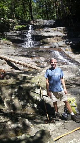
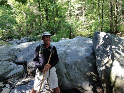
The forest service road to the trailhead was closed 11 miles from the trailhead. So, we backtracked and hiked 9.7 miles on the Emery Creek Trail. This trail followed the creek during the first portion on the hike and featured some boulder hopping. There were numerous creek crossings on the hike. The Emery Creek Falls was also visited on this hike. It had some nice swimming holes, where we found a family with young children enjoying the pools.
Of course I found the proverbial slippery rock on the first creek crossing and had wet feet within the first 15 minutes of the hike.
Event photos (2)
Reactions
Log in to react to this trip report.
About this event
This hike is listed a difficult in the book "50 hikes in the North Georgia Mountians". The Tearbritches loop hike will have a 2000 ft. elevation gain on it with its highest point being Bald Mountain.
This loop hike will use the Tearbritches Trail, the Conasauga River Trail, and the low-use Chestnut Lead Trail (as its return). There will be many water crossings on this trail and hiking poles or a fording staff are recommended for stream crossings. There are many beautiful scenes along the Tearbritches Creek and Conasauga River, with waterfalls and deep pools. May see yellow birch trees too.
If the Conasauga River is too deep for fording, we will return the way we came. Expect this hike to take 6 hours.
Who came along (1)
 GUEST MEMBER
Comments
No comments yet.
Log in to join the conversation.