
Moosilauke and South Peak Loop Hike
A fun, social day out with Dave and Randy, despite the persistent fog all day!
The trip report
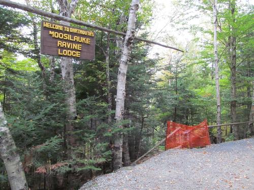
On Sunday, October 2nd, three of us (Dave, Randy and myself) met up at the Ravine Lodge in Warren, NH. This was supposed to be the nicer of the weekend days, but the peaks were all in the clouds as I drove up from Campton. As the Ravine Lodge was under re-construction, the upper parking lot was closed and after Dave and I met up along the road just below the main lot, I drove back down the road to check to see if Randy and Brett had parked in a newly constructed lot further down the road. There was no sign of Brett, but Randy had parked down here and I picked him up as he was just starting to walk up the road.
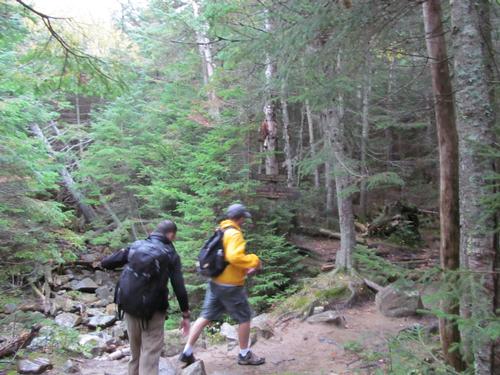
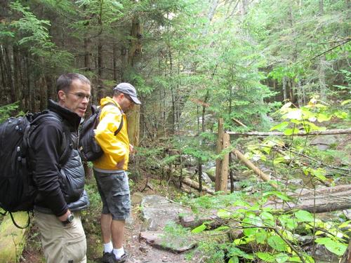
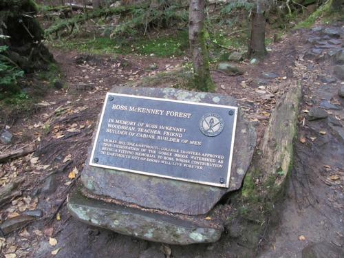
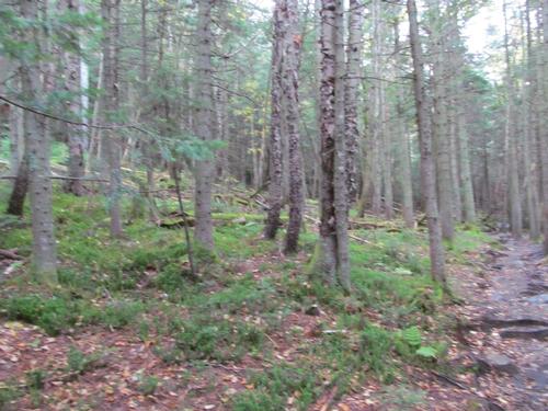
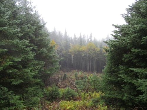
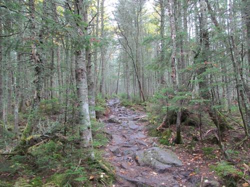
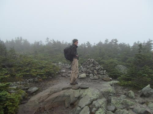
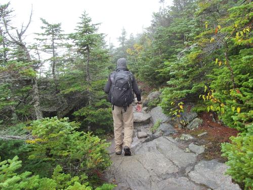
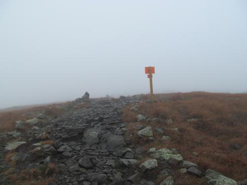
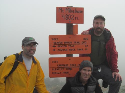
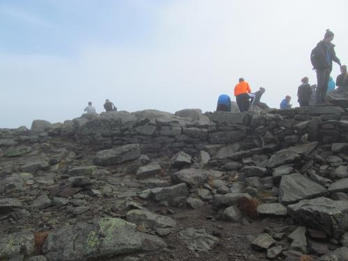
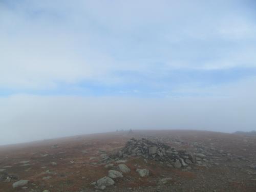
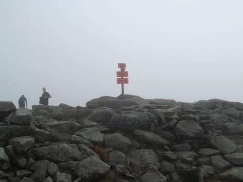
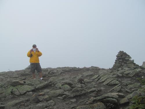
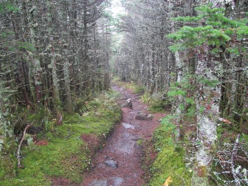
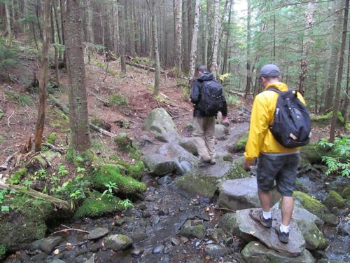
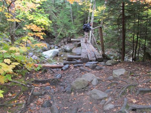
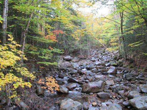
At almost 9:15AM we decided to head out. With the lodge area closed off, the main trail was re-routed around all this as it descended down to the Gorge Brook. We crossed the brook and then eventually turned onto the Gorge Brook/Snapper Trail. This climbed modestly and by 9:45 we reached the junction where the Gorge Brook Trail split off and continued to climb along side the brook. This trail was modest in grade and it was lightly raining for a short time. It was hardly noticable in the woods. We left the brook at 10:15 and we headed through mostly open woods. We reached the first of the views through an opening in the trees at 10:50, but unfortunately it was far to hazy to obtain any views. We continued to climb through a series of switchbacks and were finally on some open ledge areas by 11:30. After ascending the trail a little more, the trees thinned out and we reached the alpine zone in about another 15 minutes. From here it only was another 10 minutes to climb to the summit of Mt. Moosilauke (4802'). There was a large group of UNH students here, but only a few others. After getting a summit photo, we sat down in the old lodge/hotel foundation out of the wind to enjoy a lunch break. While the summit was still mostly obscurred by the clouds, the top of the cloud layer must have been just overhead, as there were a few times where blue skies could be seen above.
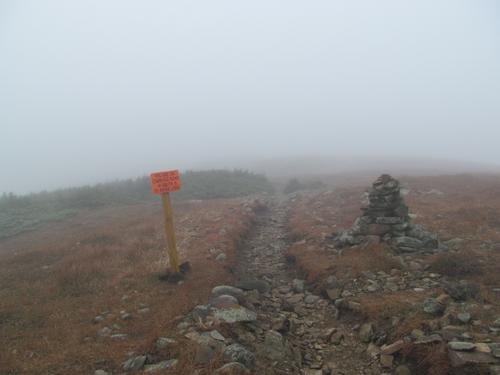
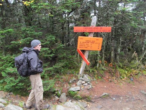
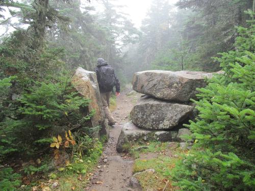
It was getting chilly sitting at the summit, so by 12:30 we decided to continue on by following the AT south (Old Carriage Road). This descended fairly quickly and once in the woods again we all warmed up a bit. At just before 1PM we reached the spur trail for the South Peak (4523'). We headed up this short trail (0.1 mile) to the summit, which only took us about 5-6 minutes. On the summit there was no views. We took a cookie break before heading back down. Continuing along the Old Carriage Road, we descended to the junction with the Snapper Trail, which took us a little under an hour to reach. Turning onto this, the trail meandered back toward the Gorge Brook Trail and in 45 minutes we had completed the loop. We backtracked the Gorge Brook/Snapper Trail and reached the bridge below the Ravine Lodge again by 3:10 and back to our cars by 3:25PM.
After getting packed back up, we all headed back to the Woodstock Inn for a light meal and drinks before calling it a day.
The lack of views was a little disappointing; however, we all enjoyed a fun day out with great conversation throughout the hike. A big thanks to Randy and Dave for coming out and joining me on a wonderful day on Moosilauke!
Event photos (24)

Reactions
Log in to react to this trip report.
About this event
Join me for this loop hike encompassing both of Moosilauke's peaks...North (4802') and and the less-visited South Peak (4523'). Our route will start and end at the Dartmouth Ravine Lodge and will utilize the Gorge Brook, AT, Carriage Road and Snapper Trails. This loop is about 7.5 miles with an additional 0.4 miles for the South Peak spur trail. The trail is modest in grade...probably one of the gentlest ascents on the mountain. This is due to its numerous switch-backs on the way up. There are views to the east on the way up along the trail cuminating with sweeping 365-degree views from both summits. This approach to the summit has the least amount of distance from treeline to summit.
Total Distance and Elevation Gain: 7.5 miles with approximately 2450 feet in accumulative elevation gain.
Total Time: Approximately 7 hours depending on breaks and group's speed.
Harsh weather may postpone to another date or cancel, as appropriate.
What to Bring: Typical late summer/fall hiking gear should be appropriate: convertible hiking pants or shorts, good sturdy hiking boots with thick socks, extra layer(s) (as needed) and a windbreaker/raingear (just in case, this summit is exposed and the weather can be harsh). Also bring along lunch, snacks and plenty of water (at least 2-L). Optionally, pack bug repellent and sunscreen and anything else that you may require for a day hike.
Afterwards: We should be completed with the hike by 3:00/4:00PM. If there is sufficient interest, we'll cap the day off with dinner/drinks at the Woodstock Inn.

Comments
Log in to join the conversation.