
Tripyramids Loop Hike
A fun day on the Slides with a small, but fun group of GO'ers!
The trip report
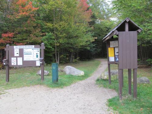
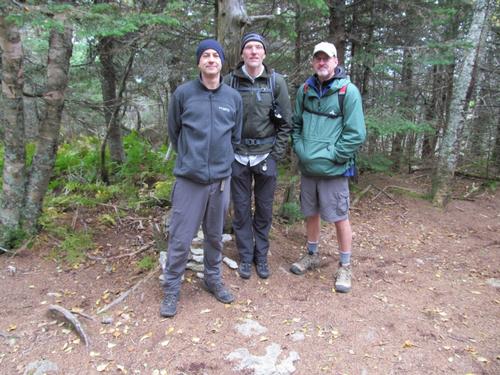
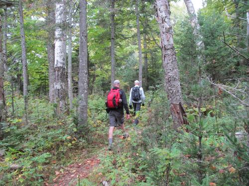
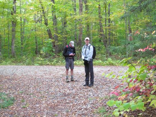
On Saturday, October 1st, George, Richard, Robert and myself met up at the Livermore Road Trailhead at about 8:30AM. After everyone was ready, we headed out at roughly 8:40. It was overcast and a bit chilly. There was a very light rain in the air for a brief time while at the parking lot and while we started out.
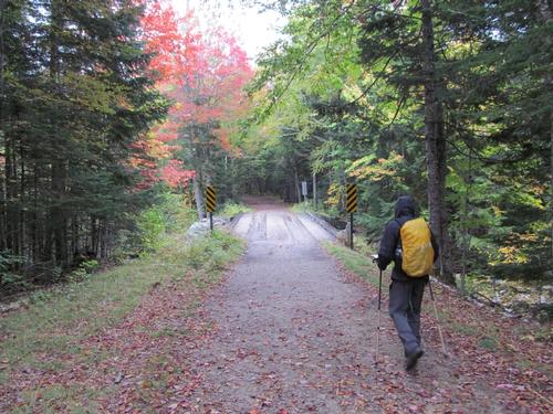
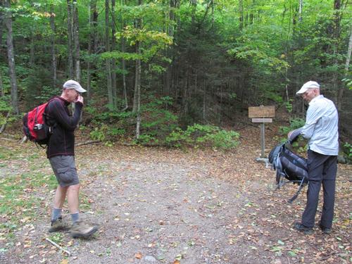
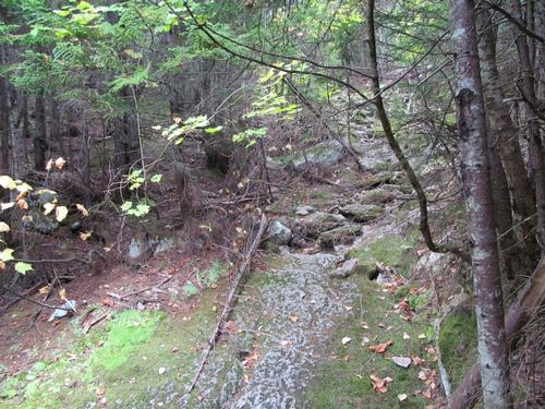
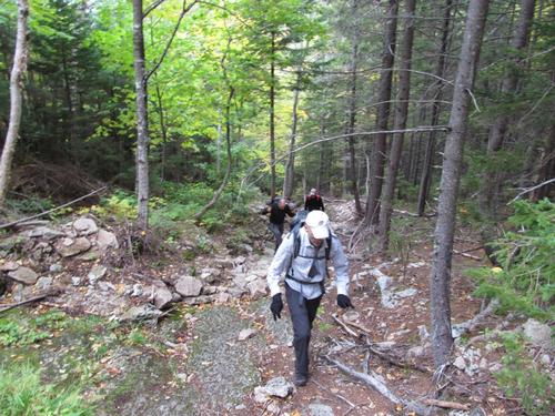
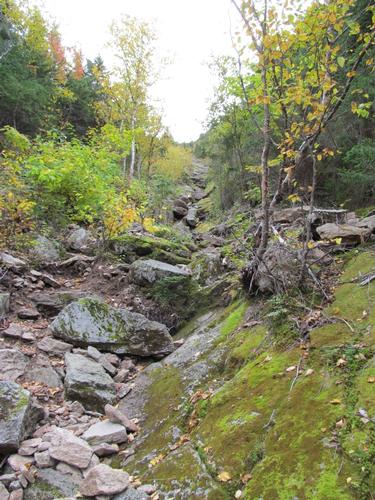
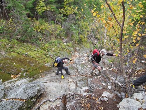
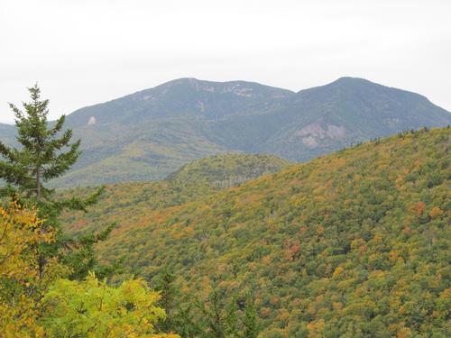
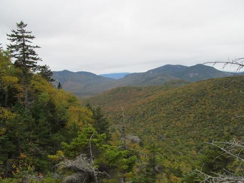
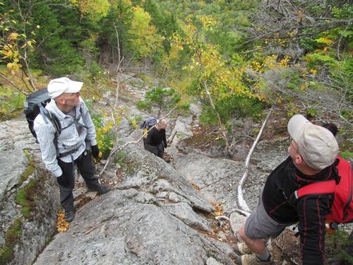
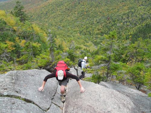
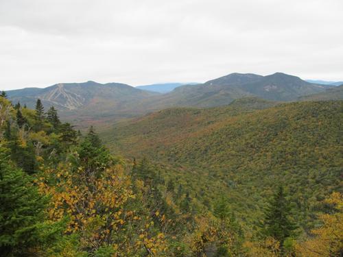
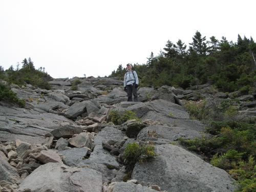
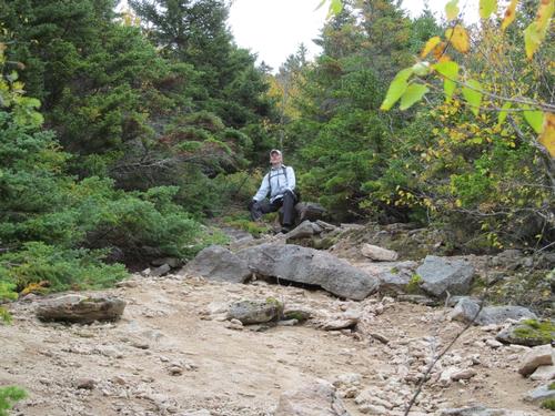
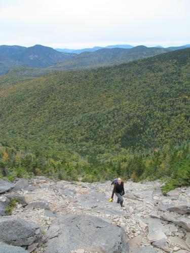
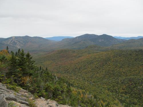
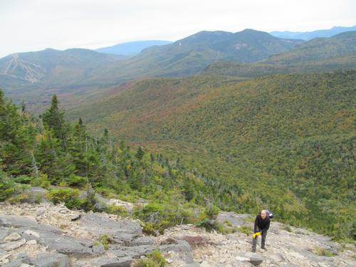
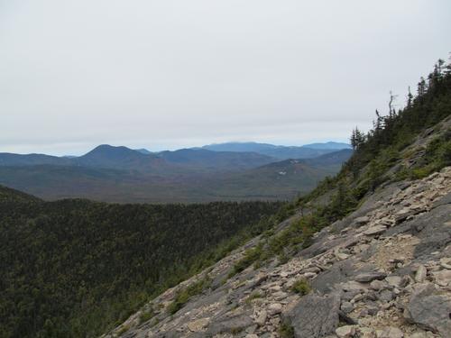
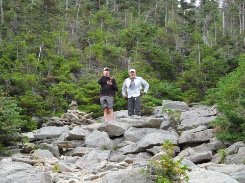
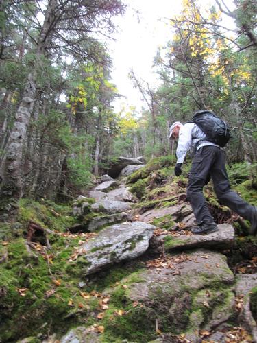
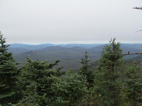
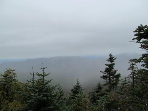
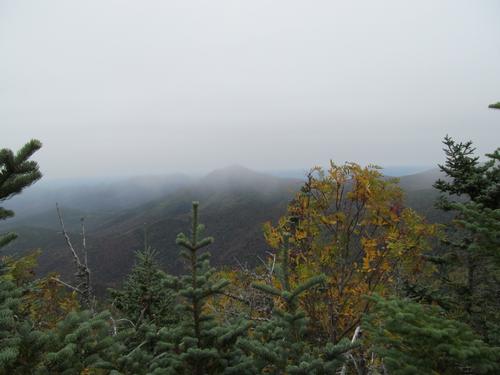
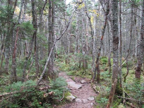
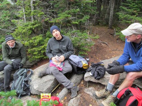
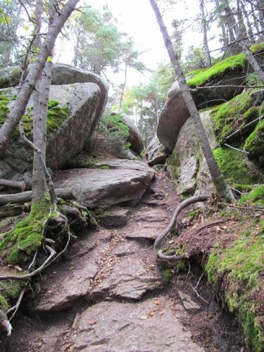
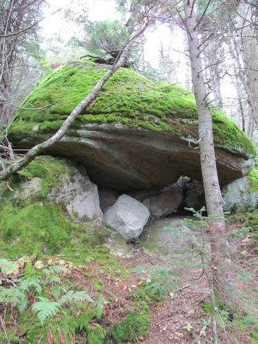
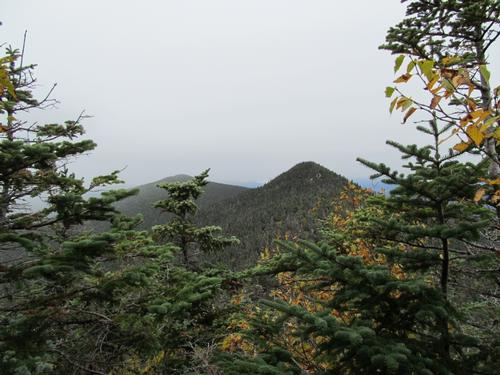
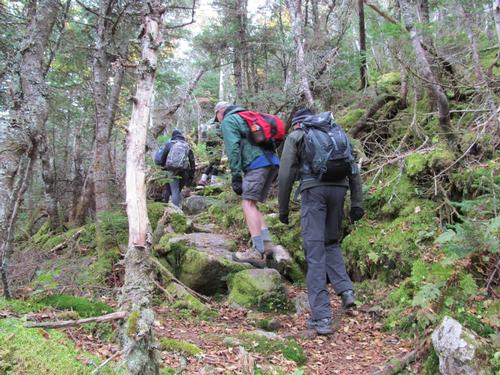
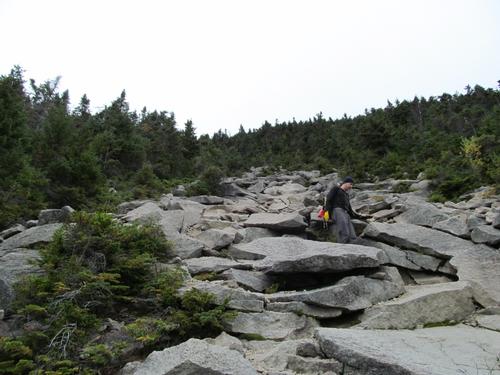
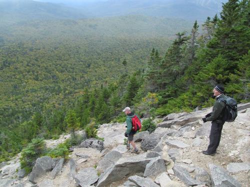
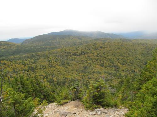
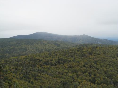
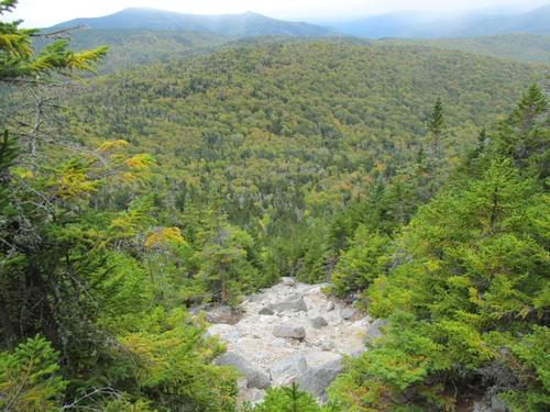
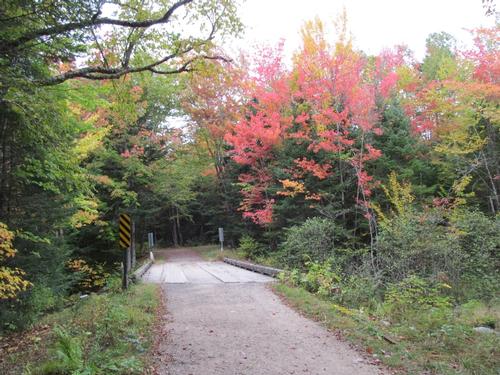
The Livermore Trail followed forest roads for 3.6 miles and it was a relatively easy walk out to where the Tripyramid Trail began. We reached this point at 10AM and after taking a short break we descended the bank and crossed the brook. This brook's flow was well-below average and easy to cross. Upon ascending the other side the trail begain a modest grade, as it led to the base of the North Slide, which we reached in another 20 minutes. Even though the slabs here were dry, the moss made them slippery in spots. We began the aggressive climb up the lower portion of the slide, where the trail occasionally jumped in an out of the slide itself. By 10:30 we were getting our first glimpses of the Osceola peaks. Luckily, even with the overcast, the cloud ceiling was well over 4000 feet. There was also some fall color, but it was less vibrant than it had been in the past on this hike (the peak color may have been still a week off). As we continued to climb Mt. Tecumseh and the Waterville Valley Ski area also came into view. By 11 we reached the widest portion of the slide as we pressed on for the top of this slide. In another 20 minutes there were views of Mt. Carrigain as well as the cloud-covered Mt. Washington. At 11:20 we were all at the top of the slide and we took a little time to take in the views...and to take a much-deserved break. As we were there, we ran into a group of women from Tufts, who had come up the Pine Bend Brook Trail and thought they were following the Tripyramid Trail to Middle Tripyramid. They had mis-interpreted the trail signs and we walked with them up to the summit to point out where the trail continued. From the top of the slide the trail continued a steep grade, but through the woods. We all reached the summit of North Tripyramid (4180') at 11:40. There was a descent view off the northeastern side of the peak and after taking a short break, we continued on to the middle peak. The trail descended quickly into the col as the trail meandered through some lush moss covered woods. After climbing again, we reached the first of the two views off of the summit of Middle Tripyramid (4140'). The view was obscurred by lower clouds/fog that had rolled in. The views towards Mt. Tecumseh were hazy and off the second view on the summit, Mt. Passaconaway and Mt. Chocorua were hazy. There was a pretty stiff wind on the summit coming from the east, so we sat down and had our lunches on the first ledge (which faced west).
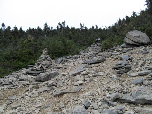
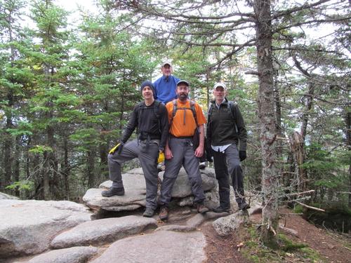
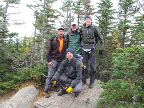
After lunch we took a summit photo and then desended the peak, which was initially very steep. It was 12:45PM as we continued around the loop and on to the south peak. We made good time our trek over to South Tripyramid (4100'), which we had ascended by 1PM. We took another very short break before heading to the top of the South Slide, which took us about 5-6 minutes. We took a cookie break here, while we took in the hazy views of Sandwich Dome and Jennings Peak to the south. This slide was easier with some rock hoping. As we descended there were also a view of the Waterville Valley Ski area. This slide was broken up into two sections of open talus/scree (broken up by a short time through the woods between the sections). By 1:30 we were descending this second open section and in another 20 minutes we had reached the bottom of the slide. From this point the trail meandered a bit as it descended gradually back to the Livermore Trail. We crossed the brook and re-joined this trail at 2:30. From here we just had to walk the forest road back to the trailhead parking area, which we reached again by 3:30PM.
After the hike we all agreed to head to the Mad River Tavern for an early dinner / light snack to cap off the day.
As always, this Tripyramids hike provided a very unique experience with the steep slides and rocky scrambles. While it was a gray, overcast day, we got some good views and the the haziness didn't seem to dampen anyone's spirits. Thanks to George, Richard and Robert for joining me on one of my favorite hikes in the White Mountains!
Event photos (42)
Reactions
Log in to react to this trip report.
About this event
Join me on this classic 11-mile loop that tags the summit of all three Tripyramids - North (4180'), Middle (4140') and South (4100') - only two of which count on the 4000-footer list. The Tripyramids are best known for their slides...exposed slabs of rock and talus/scree that are visible from long distances, offering great views while hiking, and make for a unique trail experience. The north slide was formed by heavy rain in 1885, and the south slide was formed in 1869. The loop begins with the gentle and wide Livermore Trail. At 2.6 miles there is an intersection for the south end of Mount Tripyramid Trail. We will continue on the Livermore Trail for one additional mile to the north end of the Mount Tripyramid Trail. There, the real hiking begins, ascending a steep, rocky, and mostly exposed 1.2 miles to the summit of North Tripyramid. From this summit, the final 3.7 miles of the Mount Tripyramid trail tags the remaining two summits, descends another rocky slide below the south summit, and finally links back to the Livermore Trail at the southern end.
NOTE: Portions of this hike are STEEP with loose rock for footing. It will require use of your hands for climbing in a few spots.
Total Distance and Elevation Gain: 11 miles with approximately 2600 feet in accumulative elevation gain.
Total Time: Approximately 7 hours depending on breaks and group's speed.
Harsh weather may postpone to another date or cancel, as appropriate.
What to Bring: Typical late summer/fall hiking gear should be appropriate: convertible hiking pants or shorts, good sturdy hiking boots with thick socks, extra layer(s) (as needed) and a windbreaker/raingear (just in case). Also bring along lunch, snacks and plenty of water (at least 2-L). Optionally, pack bug repellent and sunscreen and anything else that you may require for a day hike.
Afterwards: We should be completed with the hike by 4-5PM. If there is sufficient interest, we'll cap the day off with a light dinner/drinks in Campton.

Comments
No comments yet.
Log in to join the conversation.