
Mt. Cube Hike
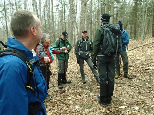
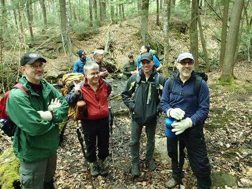
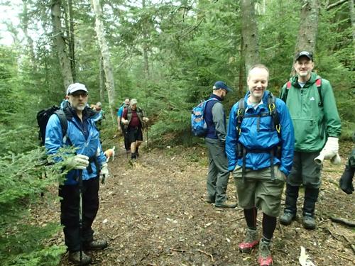
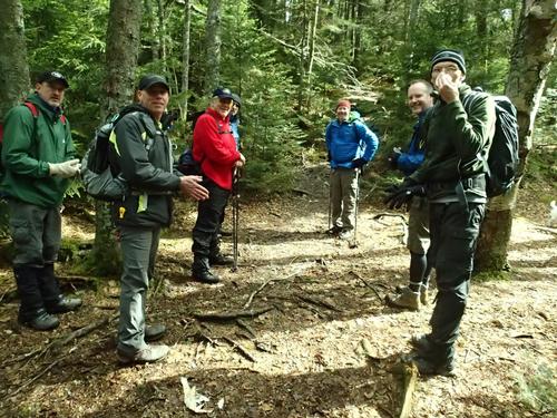
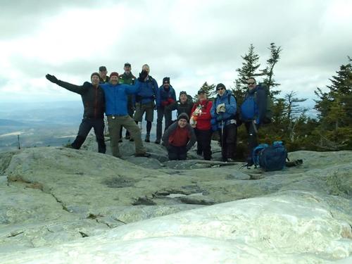
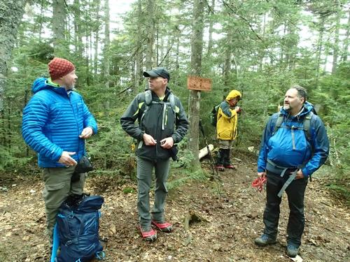
Thanks everyone who attended for a great day and helped celebrate our 15 years together! Hope to see you all again soon.
The trip report
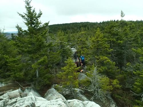
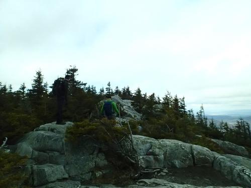
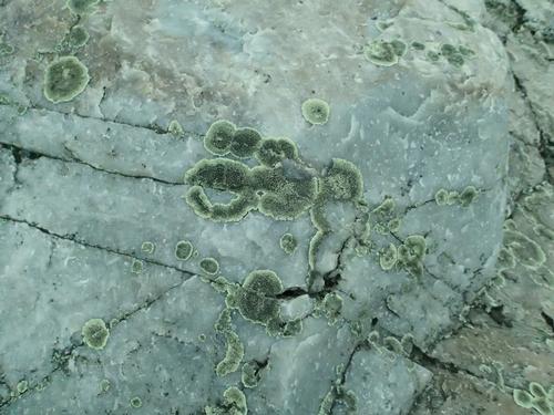
Mount Cube is a peak on the 52-With-a-View list, a list I'm not actively trying to complete but one I definitely would like to eventually, and it definitely earns its place on the list. It actually has two summits, which both have nice views in different directions. The interesting thing about this mountain though was that the summit is covered in large quartz ledges, a fairly unusual thing in the Northeast.
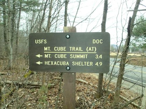
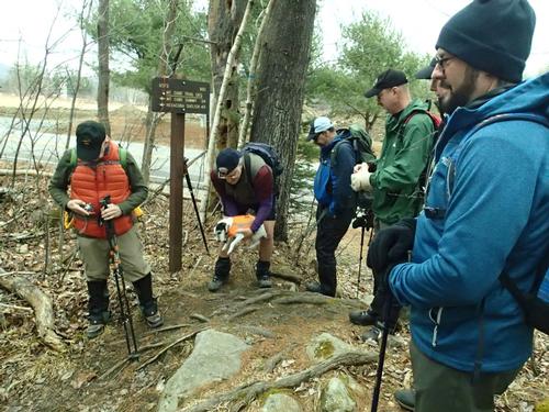
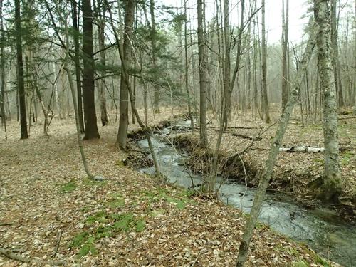
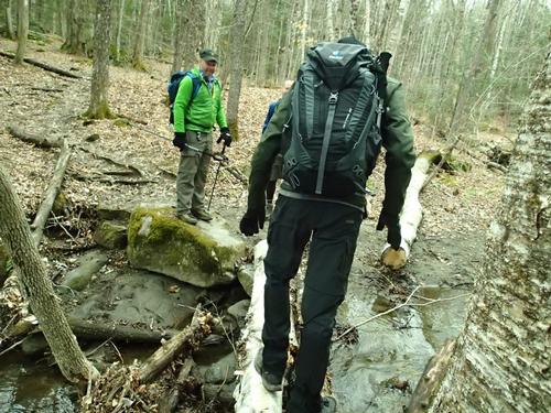
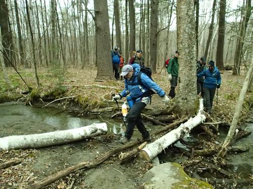
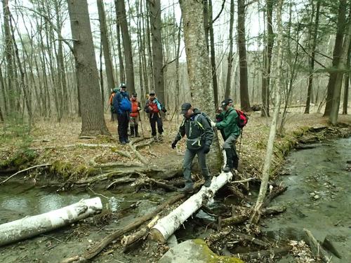
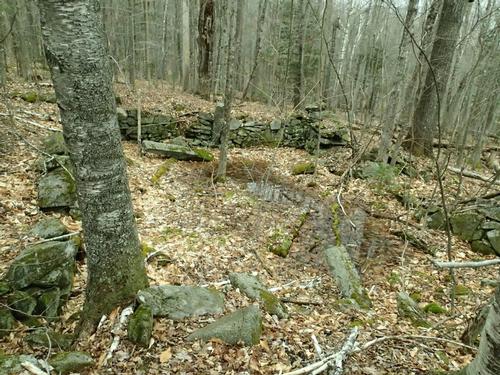
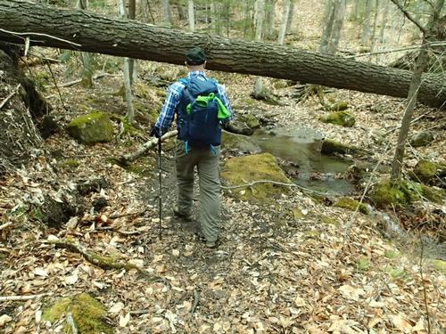
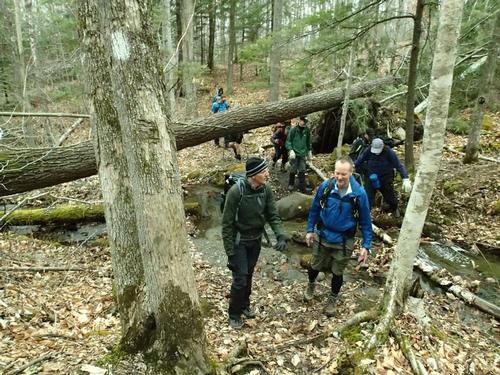
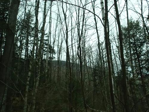
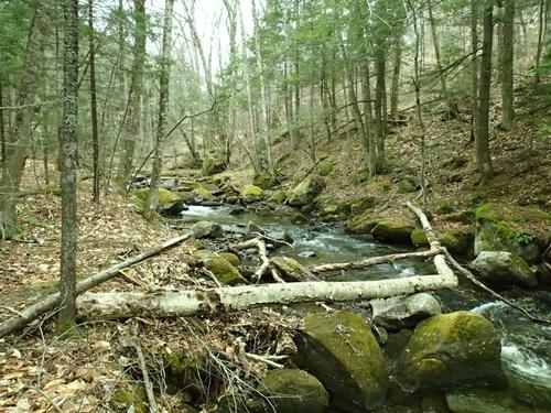
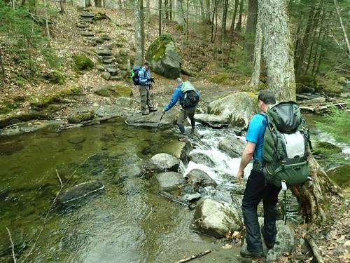
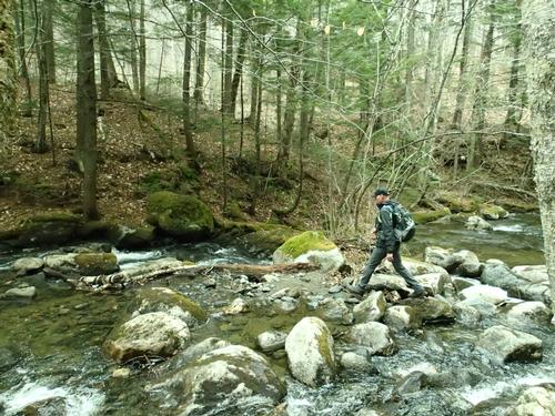
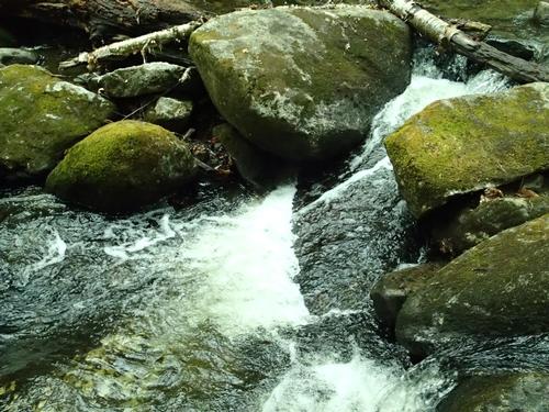
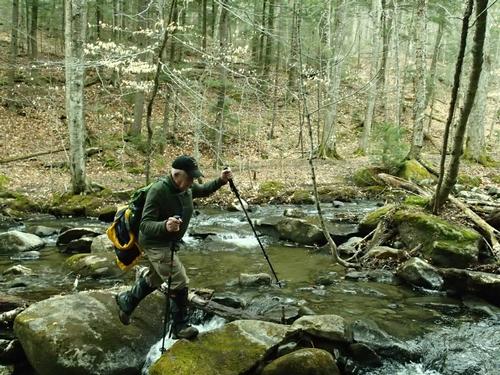
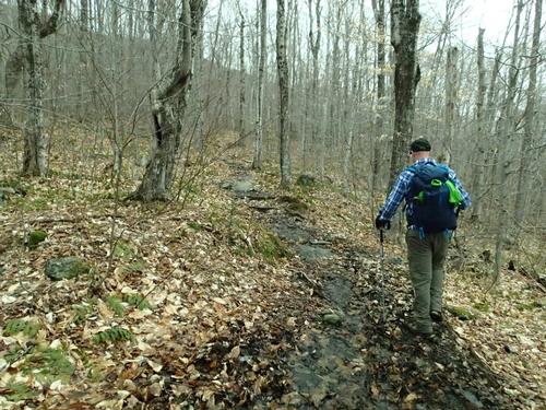
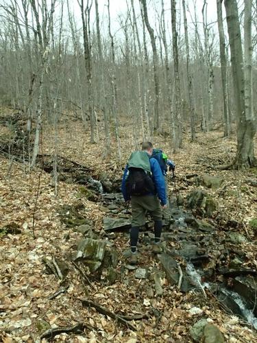
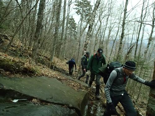
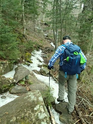
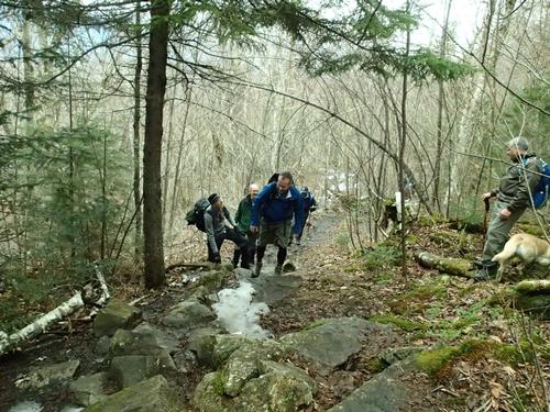
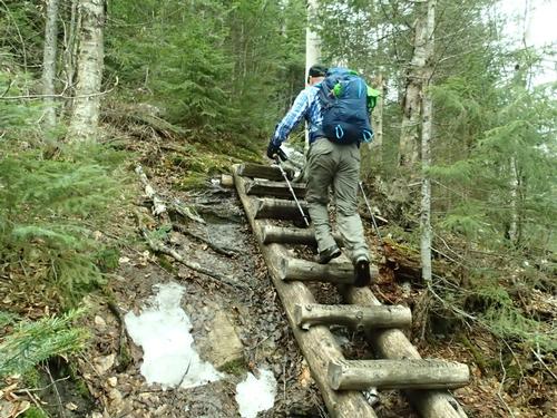
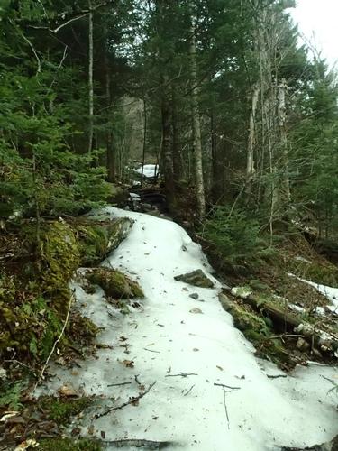
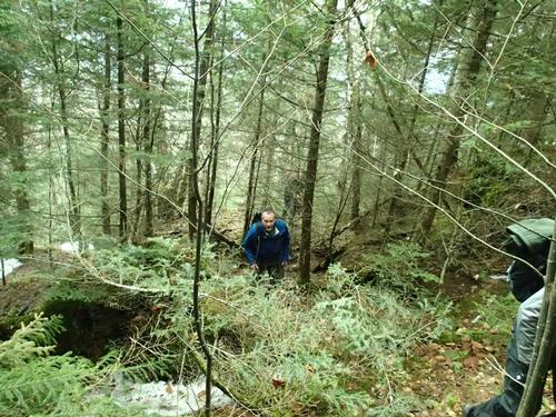
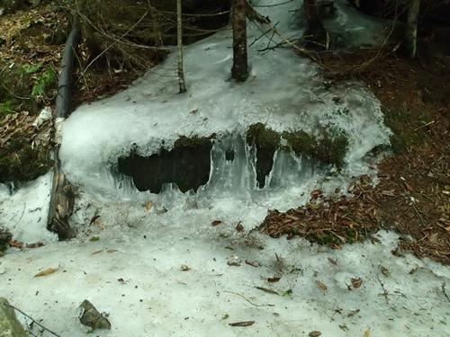
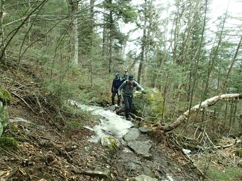
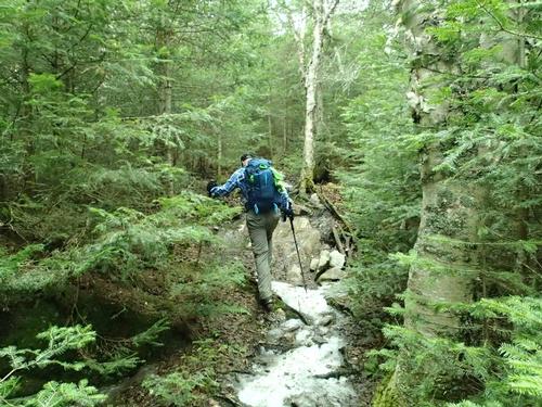
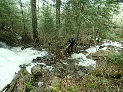
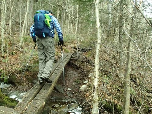
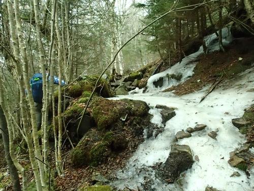
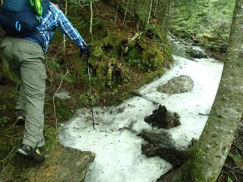
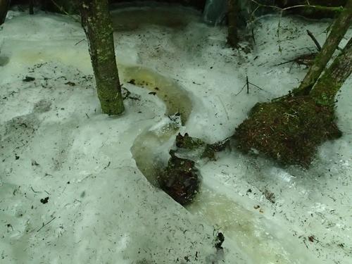
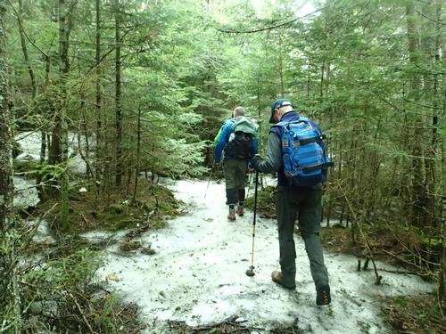
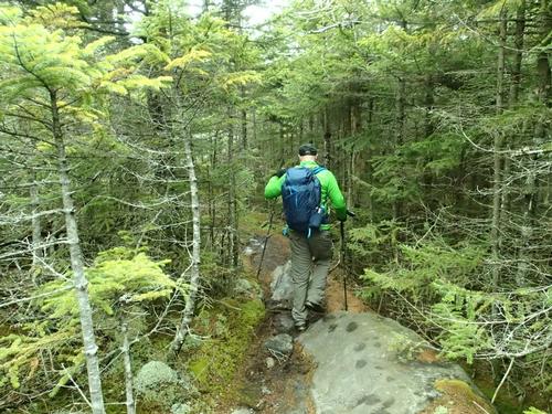
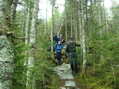
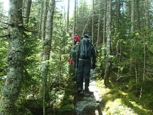
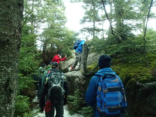
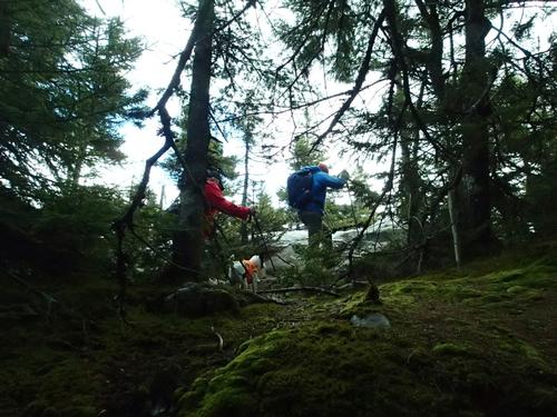
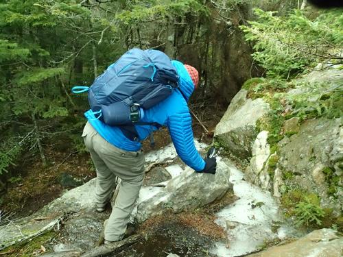
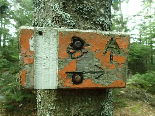
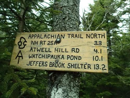
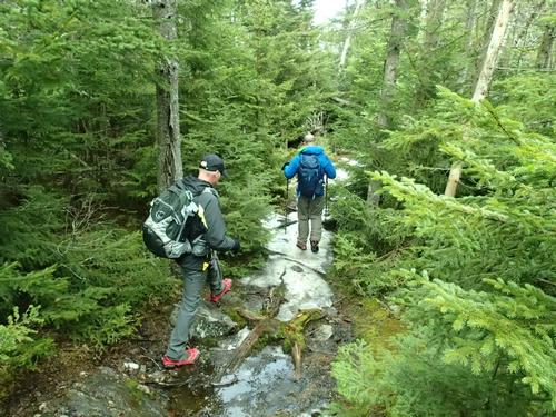
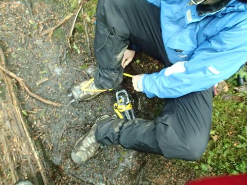
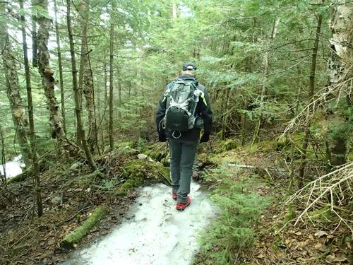
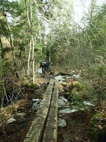
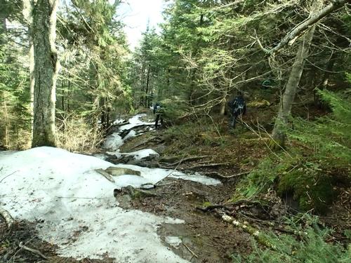
We headed up the Mount Cube Trail from Route 25A, as that is the AT in this area just South of Mount Moosilauke. We started out on an old woods road under overcast skies and passed a cellar hole. The air temperature was around 50 degrees and perfect for helping us to keep cool. About the halfway point to the ridge we crossed Brackett Brook that was a bit tricky but we all managed. With the leaves still off the trees we were then able to see the summit ledges. We ran into two couples descending who warned us about upcoming ice. We climbed easily through open hardwoods and ascending by long switchbacks. We began to encounter snow and ice. At first we bushwhacked in the woods around certain sections but once the ice flows became consistent we put on our MicroSpikes.
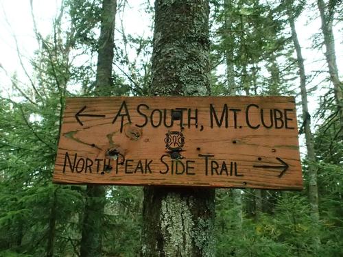
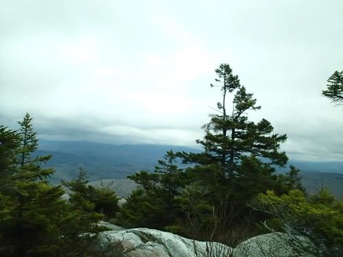
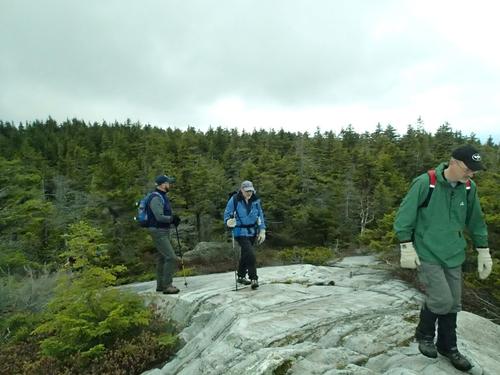
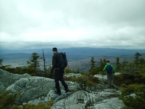
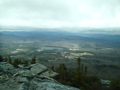
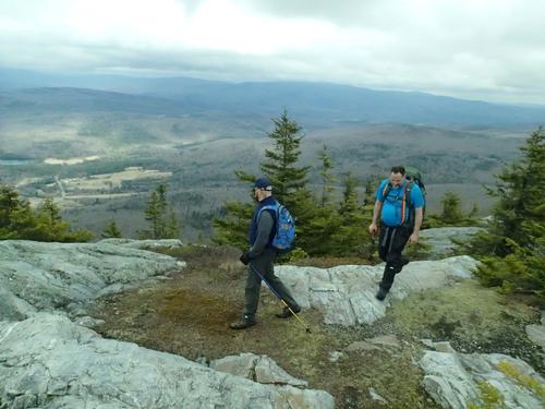
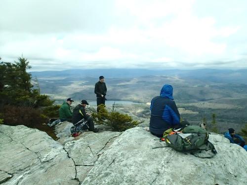
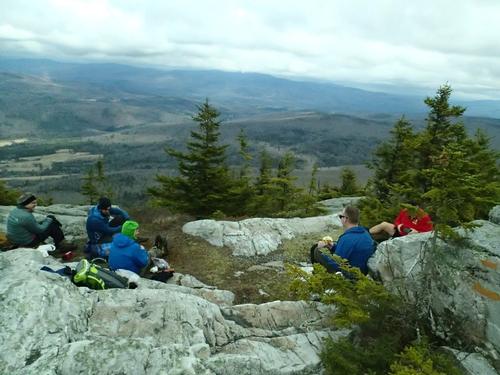
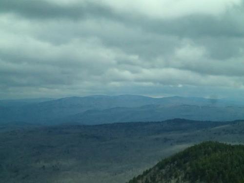
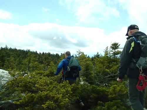
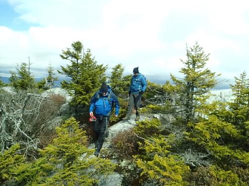
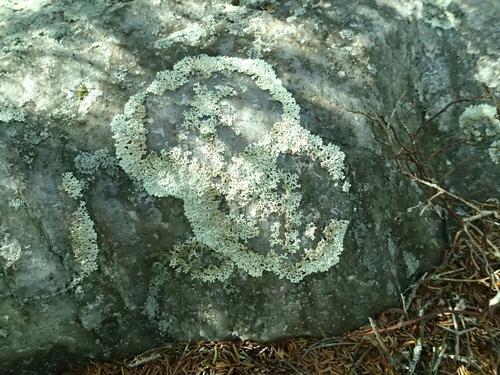
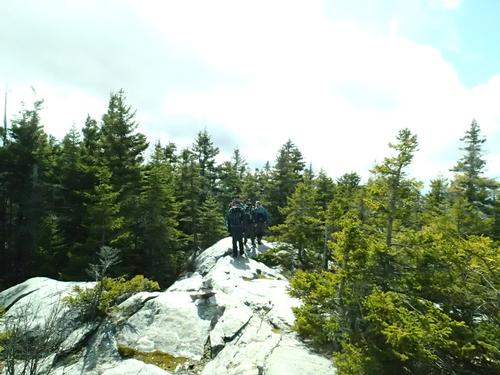
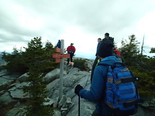
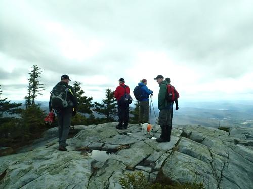
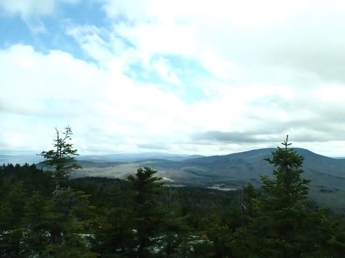
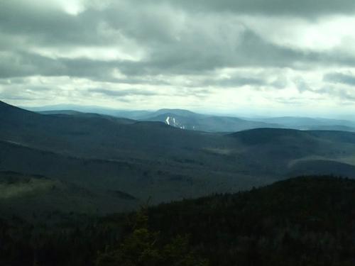
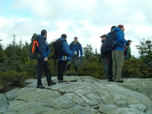
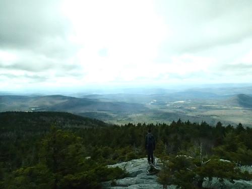
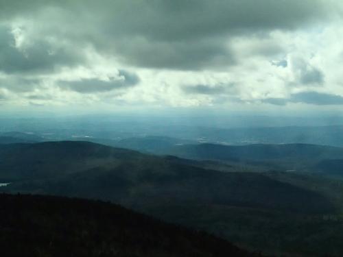
We took the short spur to North Cube and walked on quartz rock – gorgeous – very different from the usual granite. By the time we reached the north summit for lunch the sun came out! As we gazed down NH 25A Upper Baker Pond was right above it. We spent a long while on the North summit sitting, eating lunch and enjoying the beauty. Looking up, Mount Moosilauke dominated the view…however the top of the peak was hidden by clouds.
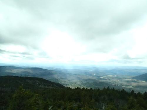
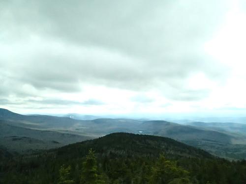
We then headed up to South Cube. A wonderful view of Smarts Mountain, the Dartmouth Skiway, Mount Ascutney in Vermont. We tried to make out other Vermont mountains and saw Killington Peak and the distinctive Camel’s Hump. Scott could even make out the field where his house was nearby!
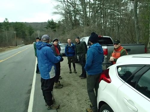
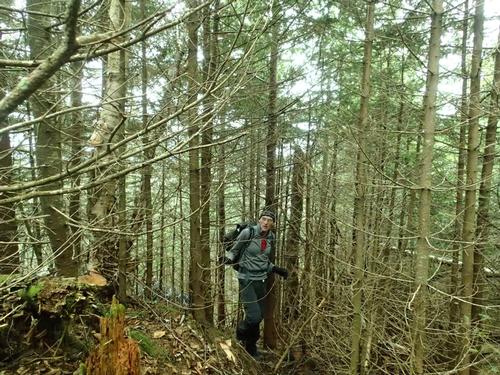
We put on MicroSpikes and Dave put on his crampons for the descent. We enjoyed sunny skies at the start of the descent but then encountered periodic showers with hail further down the mountain. We took off our traction devices when we felt the worst of the ice was over but then a bit later Tim took a hard fall where he felt he injured his ankle and knee…he said he heard a pop. He took some Ibuprofen and took his time for the remainder of the descent. Hugs back at the cars and we told everyone we would wait for Bob to make sure he returned safely. He reached his car around 6:15pm.
Back at the house, it’s an incredible moment to look back on the day and realize how lucky we are to love this so much and to be able to do it as often as we can! Thanks everyone who attended for a great day and helped celebrate our 15 years together! Hope to see you all again soon.
~ Trip Report by Mike
~ Pictures Taken by Jon
Event photos (88)
Reactions
Log in to react to this trip report.
About this event
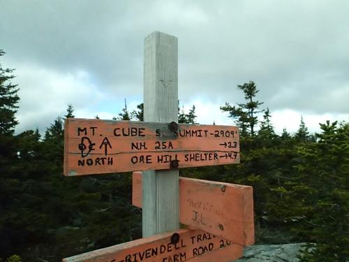
We will hike the Mt. Cube Trail [Appalachian Trail] to the summit of Mt. Cube, elevation 2,909 feet. Great directional views from two open ledges, north and south peaks!
Mount Cube, with open ledges on its north and south peaks, commands views both back down the valley towards Hanover and ahead to Mount Moosilauke and the White Mountains beyond. This is the northern end of the long ridge stretching north from South Moose Mountain that forms the eastern edge of the Connecticut River valley. The pinkish-gray summit rocks are quartzite, the same hard ridge-forming rock that runs in a band from Lebanon, over Moose, up Lambert Ridge, and on to Cube. On warm days, the summit ledges of Mount Cube are excellent lunch spots!
At 1.6 miles, after cresting a small rise, the trail winds down to cross Brackett Brook that can be tricky during high water or if not snow bridged. At 2.8 miles, the trail crests the shoulder and climbs gently towards the summit ridge. At 3.1 miles, arrive at a T-junction between north and south summits. To the right, the blue-blazed side trail leads in 0.2 miles to the north summit, with its fine view of Moosilauke. To the left, the AT continues south. at 3.3 miles, reach the south summit of Mount Cube. Smarts and Ascutney dominate a view that covers much of the Upper Valley of the Connecticut. Follow the same trail you came up to return to your car.
Book time: 4 hours
6.8 miles round trip
2,200 feet Elevation Gain
What to Bring: Bring MicroSpikes since there will still be snow on the ground. The snow could be soft due to warmer temperatures so have snowshoes in your car ready to strap on to your pack in case we need them. Wear winter insulated boots to keep your feet warm in the snow. Dress in layers including gloves and a warm hat. Have a daypack bigger than your summer one so you can put your clothes into it as you warm up. Bring water, lunch and snacks.
Who came along (10)
 SUSTAINING
  SUSTAINING
  SUSTAINING
  GUEST MEMBER
  GUEST MEMBER
  SUSTAINING
  GUEST MEMBER
Comments
No comments yet.
Log in to join the conversation.