
Whiteface and Passaconaway Loop Hike
An Absolutely Perfect Day Hiking Mts Whiteface and Passaconaway...with an extension along the Wonalancet Range!
The trip report
On Saturday, December 6th, Robert and I met up at the trailhead at right around 8AM. Alex, another GO member, had shown up and was just hiking Mt. Passaconaway. We got ready and quickly started up the road for the Blueberry Ledge Trail. It was sunny, cloud-free and brisk.
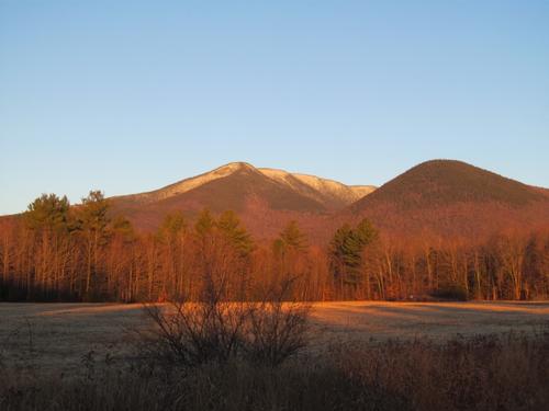
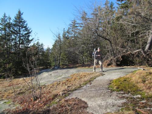
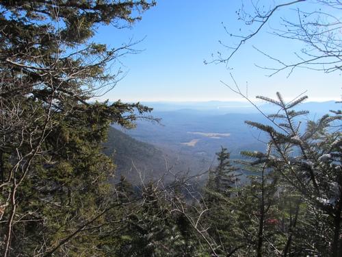
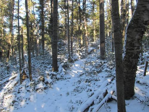
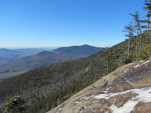
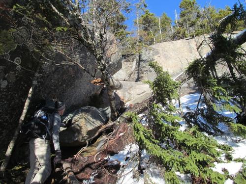
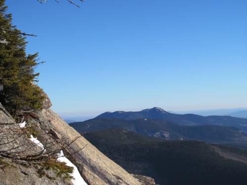
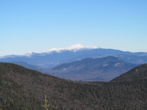
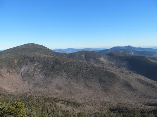
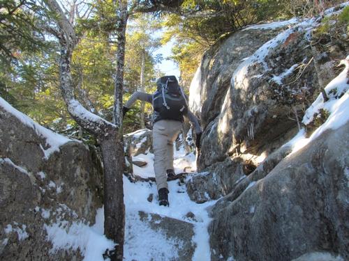
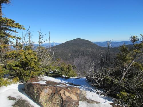
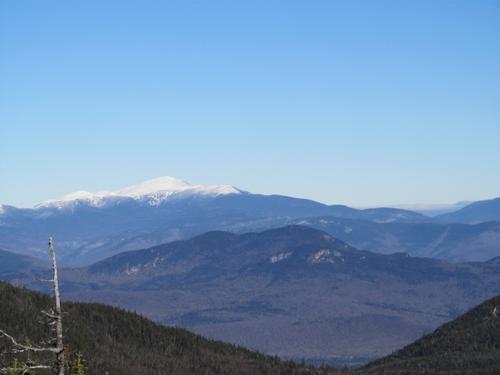
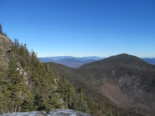
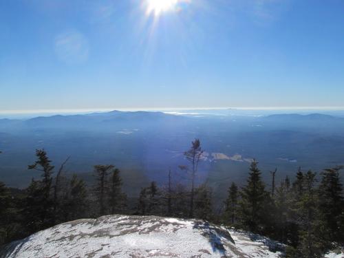
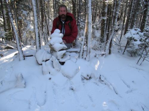
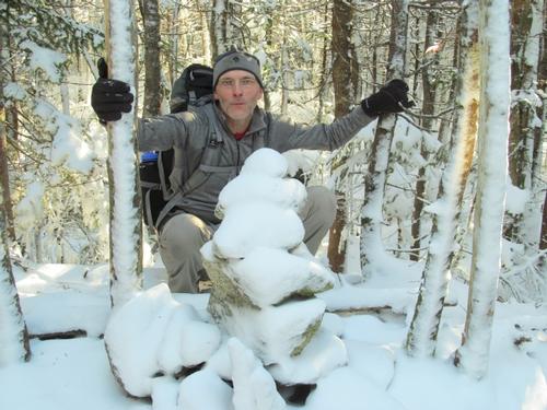
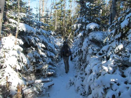
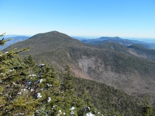
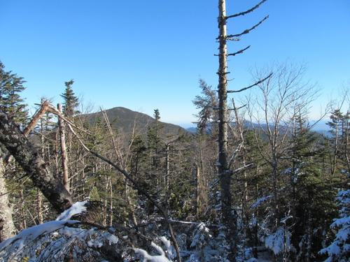
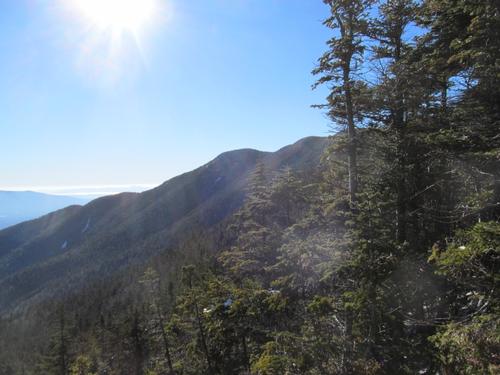
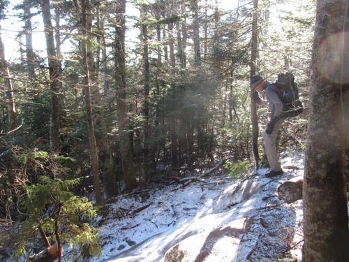
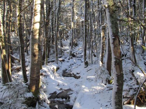
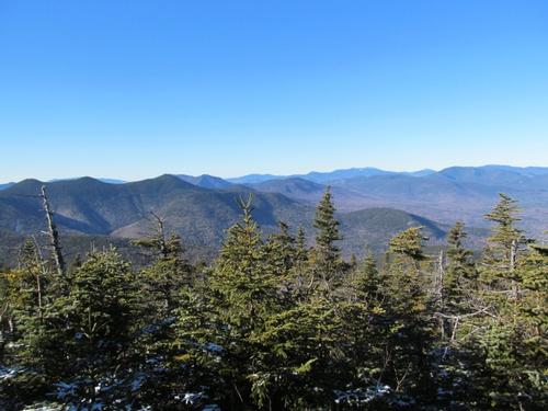
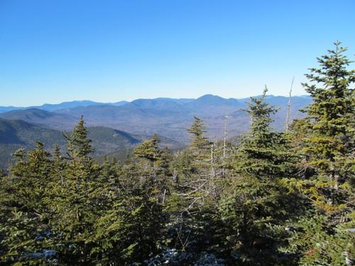
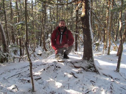
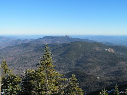
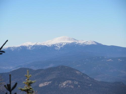
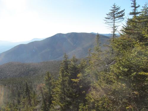
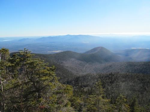
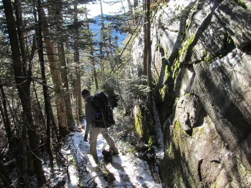
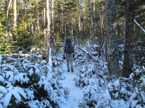
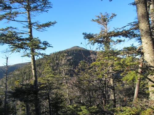
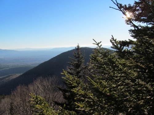
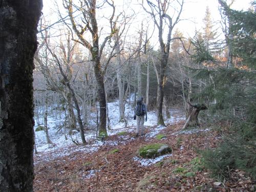
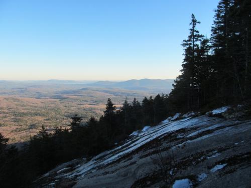
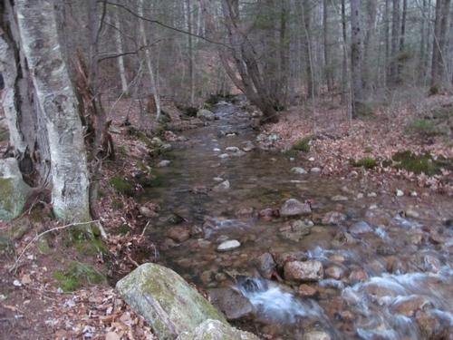
It took us about 50 minutes to hike to the first ledge where the Cutoff Trail rejoins the trail. There had been some ice on the open granite, but it was manageable. By 9:30 we were encountering more snow on the trees and trail. The trail steepened and climbed up to the first view. At 10AM we reached a spectacular view over a steep granite drop-off and of Sandwich Dome to the west. Soon after this, was were the fun began, when we had to manuever up the steep granite rockface. This led up to a number of open ledges with beautiful views into the Bowl, an old growth section of forest, as well as views southward to the Lakes Region, of Mt. Passaconaway, Mt. Chocorua and even Mt. Washington to the north. By 10:30 we had reached the false summit with its open views into the surrounding areas. Shortly after this, while descending this sub-peak, we ran into a group of women, who were turning around since they thought that they had missed the summit. When we told them it was still ahead they continued on. We passed the junction with the Kate Sleeper Trail and after climbing a bit we reached the true summit at 10:45 (4020'). This was rather unremarkable and might be easily passed without noticing, as it was only marked by a small pile of rocks. Robert wrote the word "Summit" in the snow for the women behind us, so they wouldn't miss it! After this the trail descended steeply in spots with icy patches as it meandered around the semi-circular ridge on its way over to Mt. Passaconaway. There were periodic views through the wood of Passaconaway and a couple of open ledges with southward views as well as views back towards Whiteface. Along the way we decided to have an early lunch along the trail. It was 11:40 and had a well-deserved break. We kept it relatively short, as we got chilled just standing still.
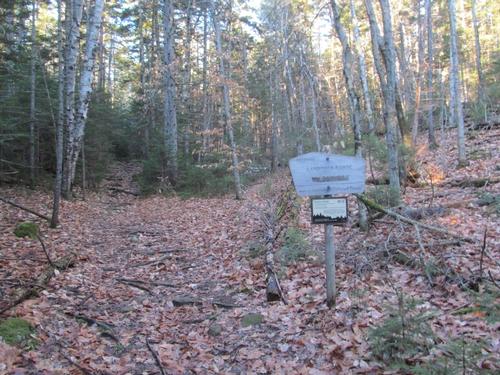
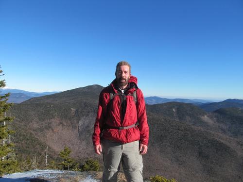
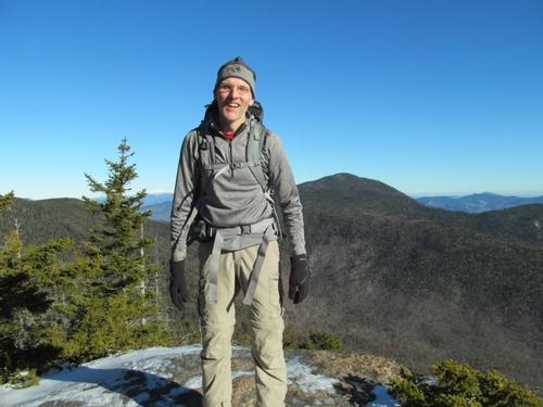
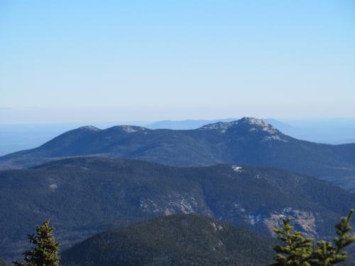
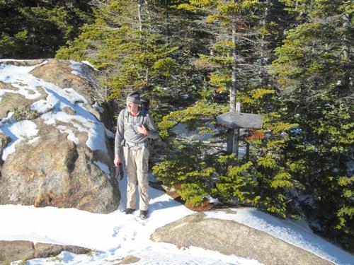
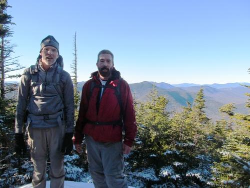
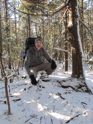
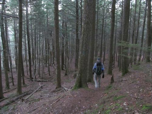
After lunch we continued around the ridge and reached another open ledge in about 10 minutes. It would have been a better spot for lunch, but I had forgotten about it. By 12:15PM we reached the junction with the Dicey Mill Trail and we turned onto this for the ascent of Mt. Passaconaway. This was icy and steep in spots with the steepest section just prior to reaching the open ledge just to the west of the summit. We met a group of guys here who had come up from the other leg of the summit loop. They took a picture of us before we continued the short distance to the summit (4043'). Again, this was rather unremarkable, as the summit was in the trees at the end of a short spur trail and was only marked by a tiny set of rocks. It was just before 1PM. Since we were making such great time, we decided to circle around the summit and return via the Wonalancet Range rather than returing via the Dicey Mill Trail. This was really nice as it passed another two spectacular ledges...the first of which provided a great view of Mt. Washington to the north and the second, nice views of Whiteface and the Wonalancet Range below. This trail descended steeply in spots, but was a little easier than the ascent of Passaconaway. At 1:40 we turned onto the Walden Trail and descended into a col before starting to re-climb as the trail ascended Hibbard Mountain. At 2:20 we turned onto the Wonalancet Range Trail and before long we were on the summit of Hibbard Mtn (2940'). The summit was an open area with not much in the way of views. The trees must have grown a bit, as I seemed to remember better views here. We took a short break here before continuing around the other side of the peak, where there was a short spur trail out to a southward view. We descended the peak and hiked through some fairly thin woods as we made out way over to Wonalancet. After passing over its summit (2760'), there was a view to the south just past the cut-off trail. After this, the trail continued to descend steeply in spots, but the snow and ice diminished and by the time we could hear the brook below, the trail moderated and it was an easier walk through the woods. At 4PM we had reached the brook and the bridge for the Kelley Trail. A short distance later we were back at the parking lot. It was about 4:15 and we had made it comfortably before sunset.
We ended the day by driving the short distance to Tamworth and we capped the hike off with a nice meal and drinks at Chequer's Restaurant.
This couldn't have been a better December hiking day with sunny, clear skies, amazing views, an almost magical coating of snow at elevation, perfect temperatures and great companionship throughout the day. A big thanks to Robert for joining me and for wanting to extend the trip over the Wonalancet Range!
Event photos (45)
Reactions
Log in to react to this trip report.
About this event
Join me for this 11.5-mile hike over the summits of Mts. Whiteface (4020') and Passaconaway (4043'). While these peaks are rather low on the 4000-footer list they offer ample views into the surrounding wilderness and peaks. On a clear day you will have vistas to the south from Whiteface's ledges, over the Lakes Region and northward to Mt. Washington. There will be additional views along the ridge and off of Mt. Passaconaway. We will be hiking the circuit in a clockwise manner...ascending via the Blueberry Ledge Trail to Whiteface and descending off of Passaconaway by way of the Dicey's Mill Trail. There are moderately steep sections of smooth granite and a few rock scrambles ascending Whiteface, otherwise the trails are modest in grade.
Total Distance and Elevation Gain: 11.5 miles with approximately 4350 feet in accumulative elevation gain.
Total Time: 9 hours depending on breaks and group's speed.
Rain or harsh weather may postpone to another date or cancel, as appropriate.
What to Bring: Typical fall hiking gear should be appropriate: convertible hiking pants, good sturdy hiking boots with thick socks, a windbreaker/raingear and extra layers (e.g. fleece)...or winter jacket/parka depending on forecasted conditions. Also bring along lunch, snacks and plenty of water (at least 2-L). Optionally, pack sunscreen and anything else that you may require for a day hike. NOTE: Pack your headlamp and microspikes, just in case. If other gear is warranted, this will be discussed on the trip page prior to the activity date.
Carpooling: Contact the leader or other participants to organize a ride share.
Afterwards: If there is sufficient interest, we will have drinks and/or dinner in the area.
Who came along (2)
 GUEST MEMBER
Comments
No comments yet.
Log in to join the conversation.