
Get Hike Hike#3:Mts. Monroe and Franklin
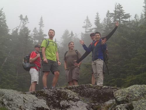
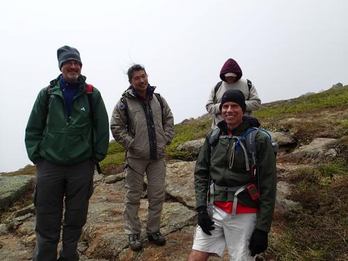
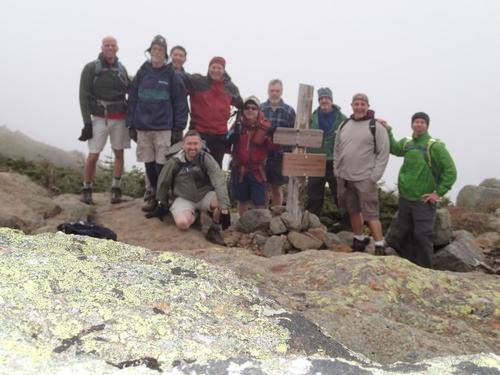
Many thanks Rick, George, Tom, Tim, Dave, Dan, Jeff, Kevin, Jon and Mike for making the day such a fun time!
The trip report
This was our third GetHigh Hike with two more to GO! This trip to Mounts Monroe and Franklin was just what we needed. This 7.5 mile, moderate to strenuous loop traverses some of the best above treeline hiking that New Hampshire has to offer!
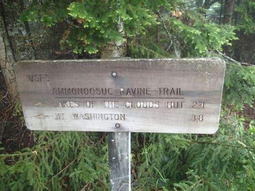
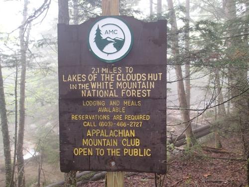
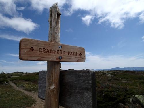
Our plan was to take the 2.4 mile Ammonoosuc Ravine Trail [parking at the Cog Railway that had free parking today!] to the Lakes of the Clouds hut. From there we would do a 2 mile ridge traverse, along the Crawford Path, bag Monroe (5,384 ft) and Franklin (5,004 ft but not an official 4,000 footer) along the way. We would then cruise the 2.9 miles down the Edmunds path to where we spotted 3 cars.
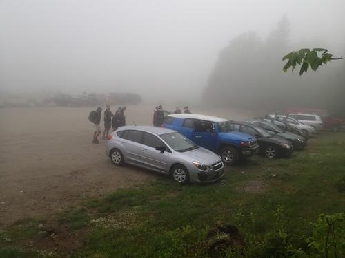
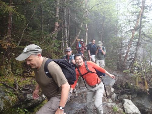
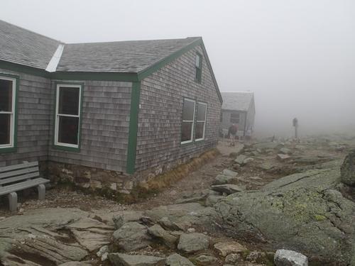
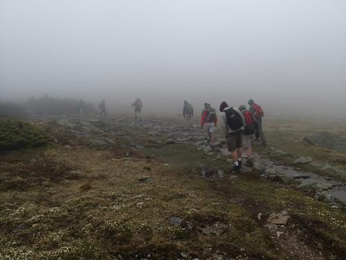
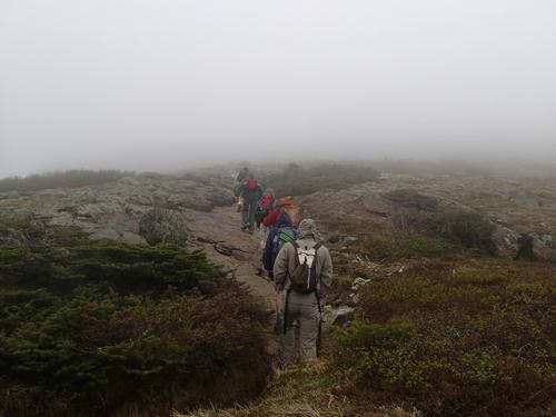
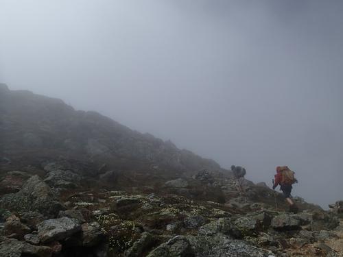
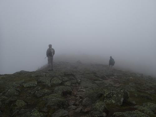
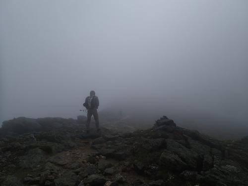
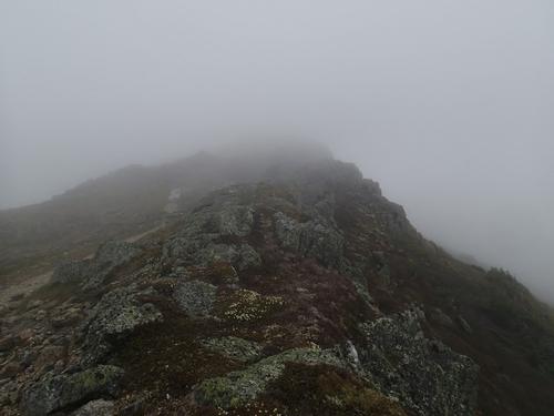
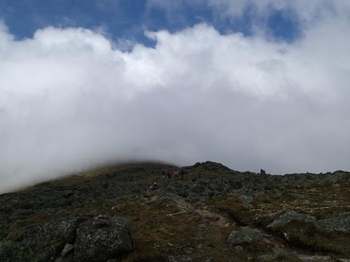
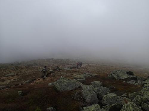
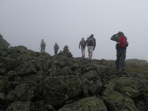
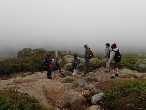
The weather gods did NOT cooperate at first as we arrived at the trailhead at around 9:30 am to find ourselves in the fog. And the forecast indicated high winds of 30mph with high temperatures in the 40s so we were to encounter chilly conditions further up.
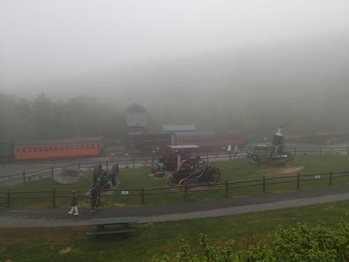
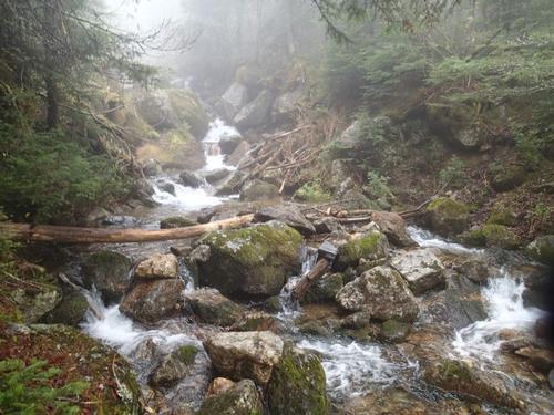
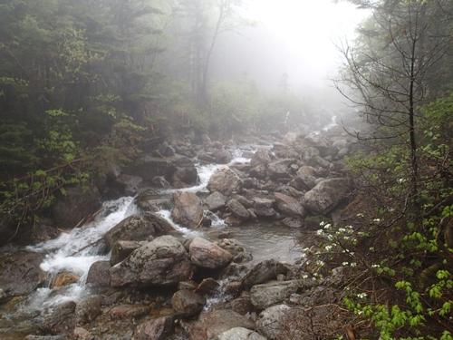
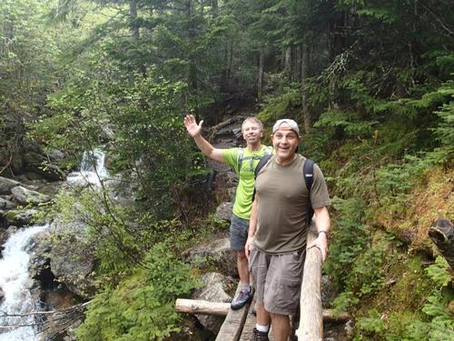
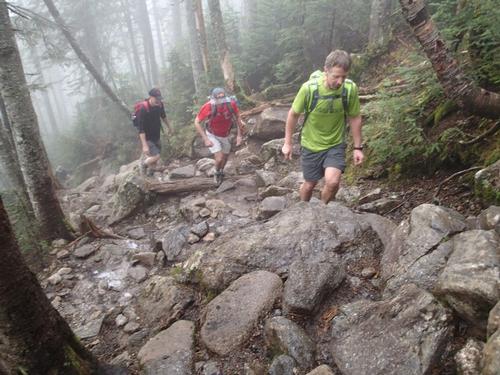
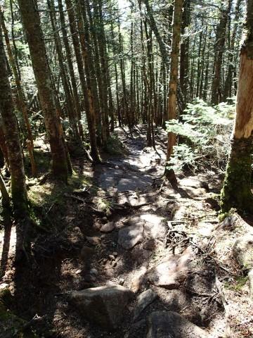
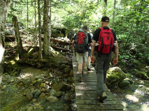
The Ammonoosuc Ravine Trail starts out with 30 minutes of rolling and flat terrain in a shady forest like many White Mountains trails do. We climbed easily alongside Ammonoosuc River with its many cascades. This trail truly distinguishes itself because it is right next to the Cog railway and it is frequently near water.
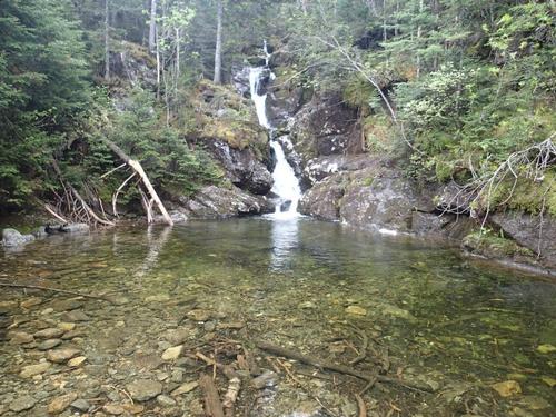
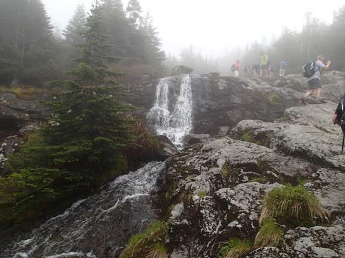
We were soon treated to a crystal clear pond called Gem Pool that was fed by a small mossy waterfall which is something you don’t see on every hike. This was a great place to take a break. We were joined by many other hikers and thankfully did not encounter any black flies.
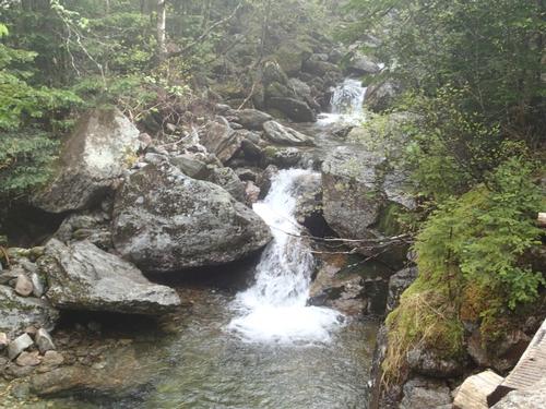
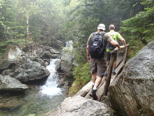
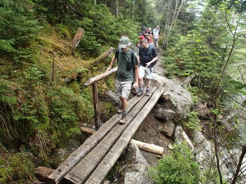
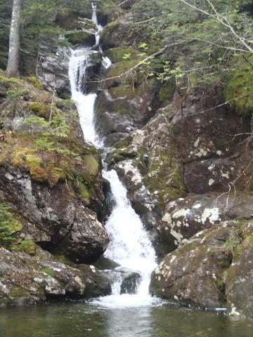
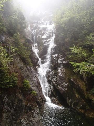
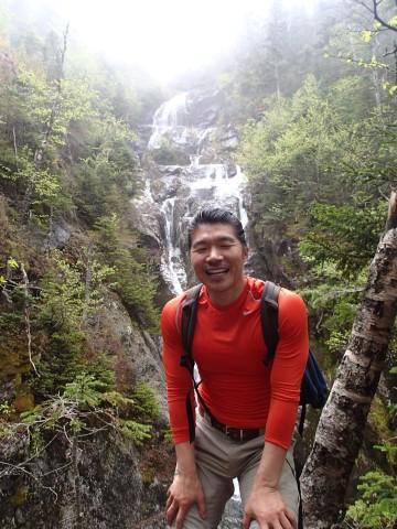
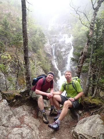
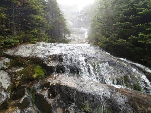
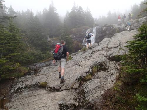
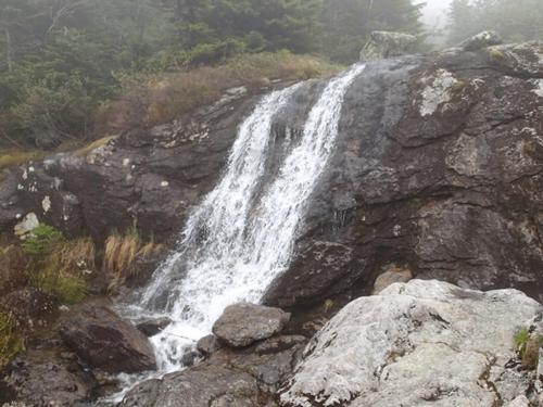
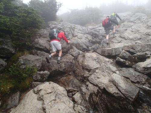
From here the climbing began with a steep and sustained ascent on rock steps. Shortly into the climb we took the small side trail that currently does not have a sign so most people miss it. If you do this hike then take this side trail! Only 100 yards from the sign we were treated to one of most amazing waterfalls that I have ever seen in the White Mountains. Take a look at our pictures; do you think that is worth hiking 100 yards for?
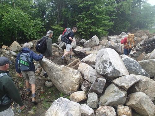
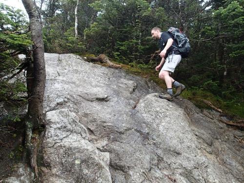
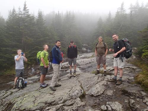
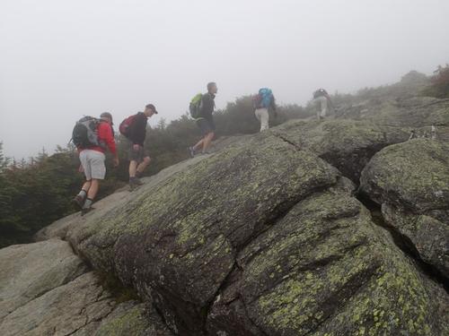
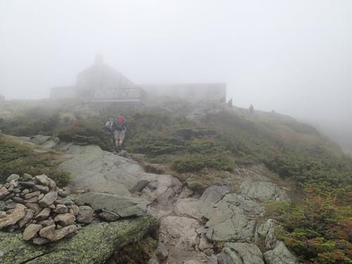
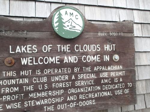
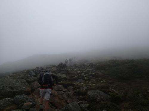
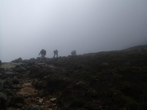
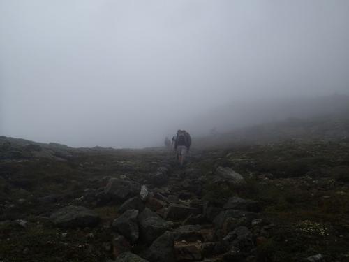
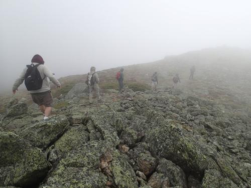
The climb continued at a sustained pitch as the boulders evolved to rock slabs. Along the way we remained in the clouds. The Lakes of the Clouds hut came into view after a little more climbing. This was a great sight because it meant we were close to Mount Monroe.
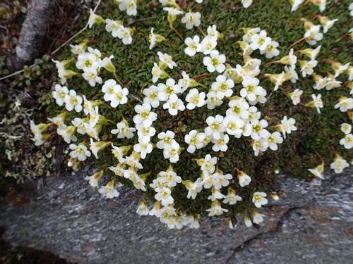
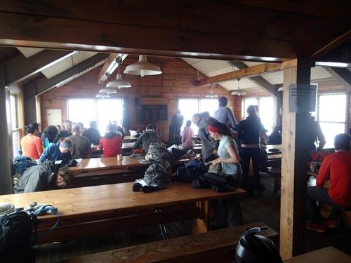
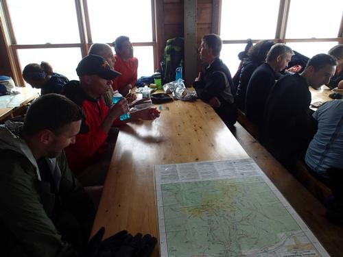
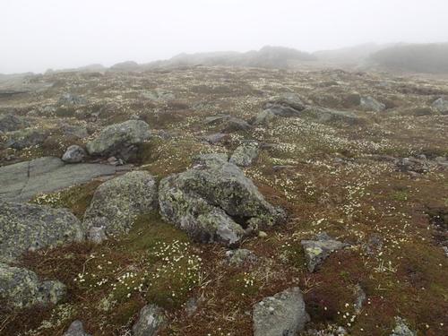
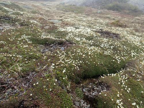
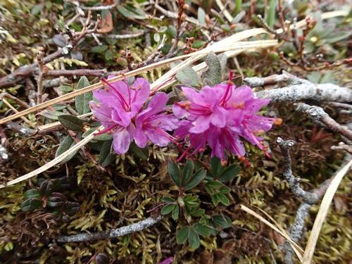
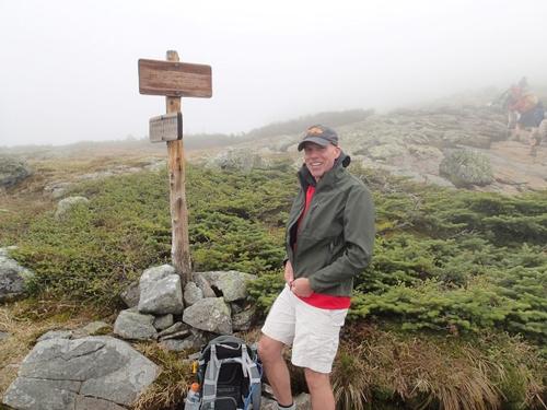
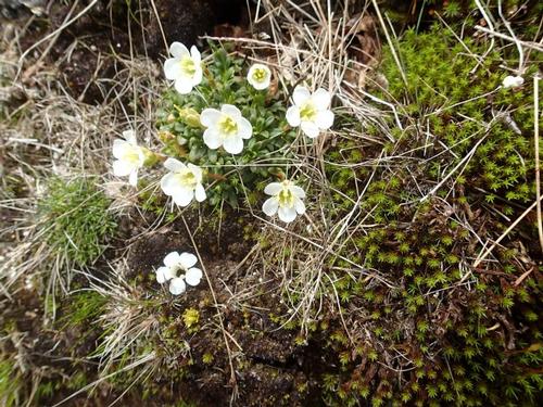
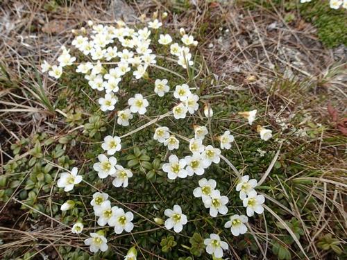
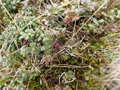
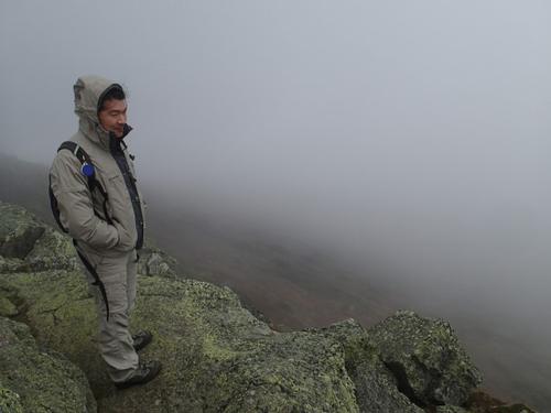
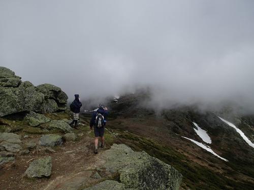
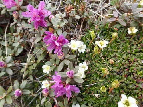
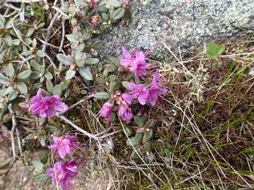
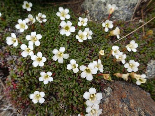
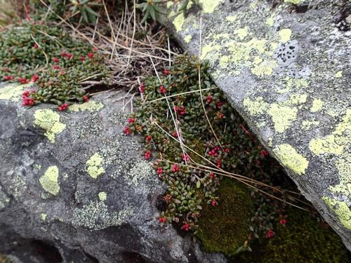
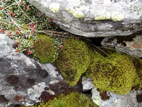
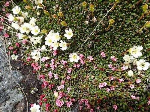
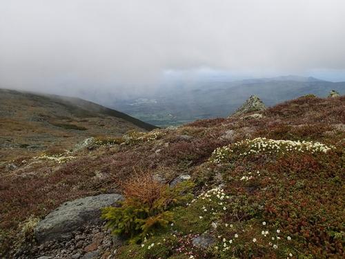
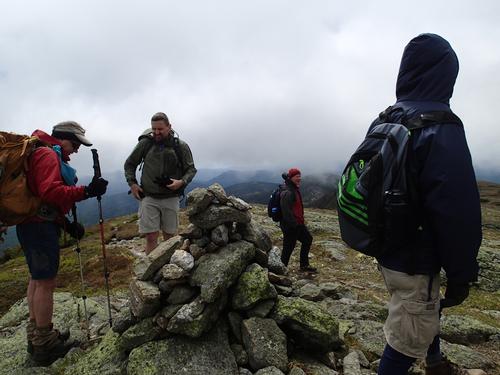
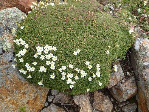
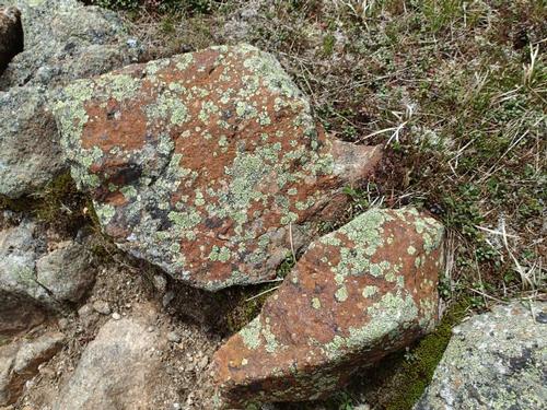
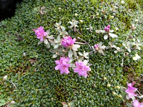
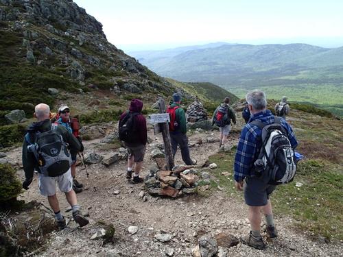
We took our lunch break inside. After a while we felt it was time to make our summit bid. It was windy outside so we prepared ourselves by putting on our wind shells, wool hats and gloves. As the start of the climb and during the entire traverse we encountered Mountain Sandwort flowers covering large areas. We also saw Lapland Rosebay and Mountain Cranberry that can only be found in alpine zones.
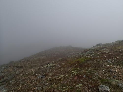
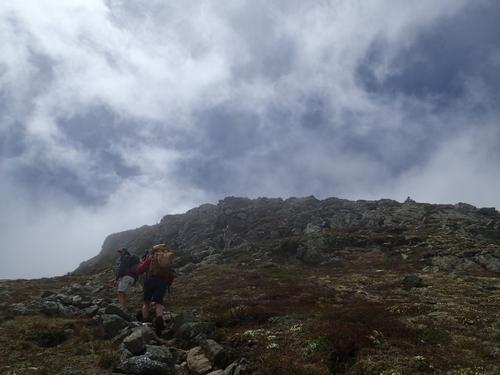
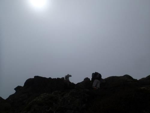
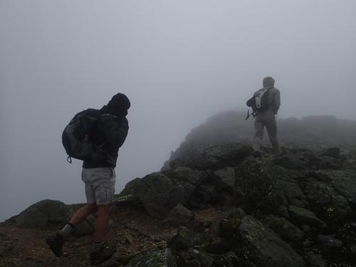
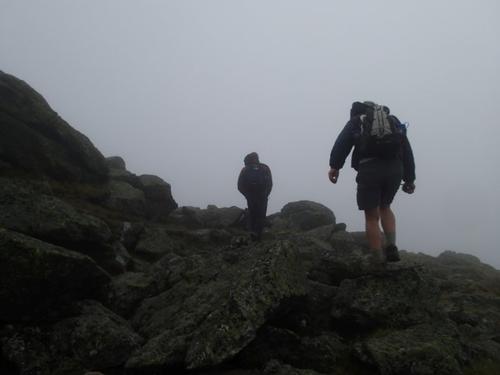
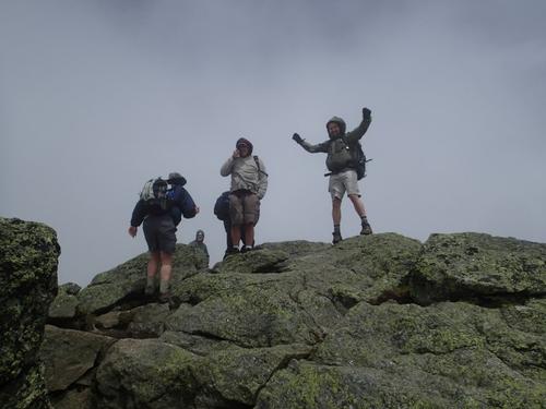
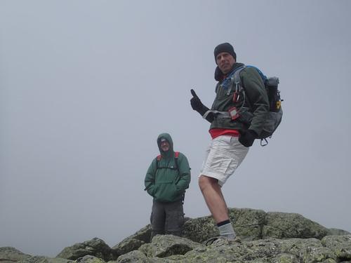
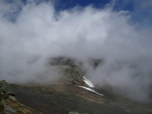
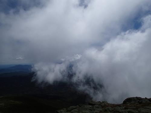
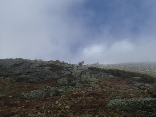
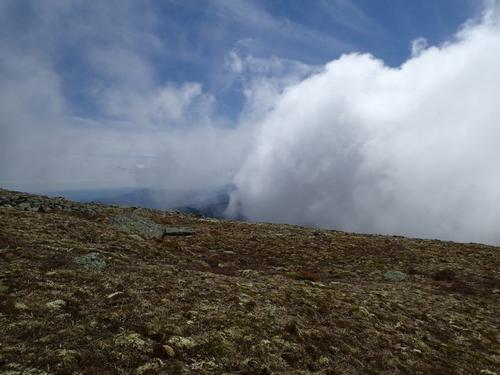
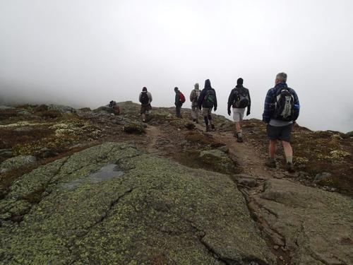
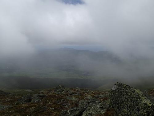
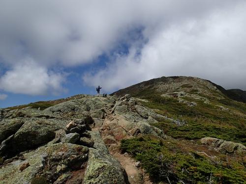
The climb to the Mount Monroe summit was certainly steep, windy and cold; and we were still in thick clouds. As we were leaving Mount Monroe the clouds briefly lifted so we started to get some views.
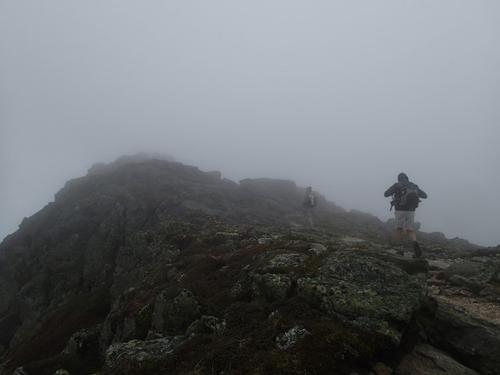
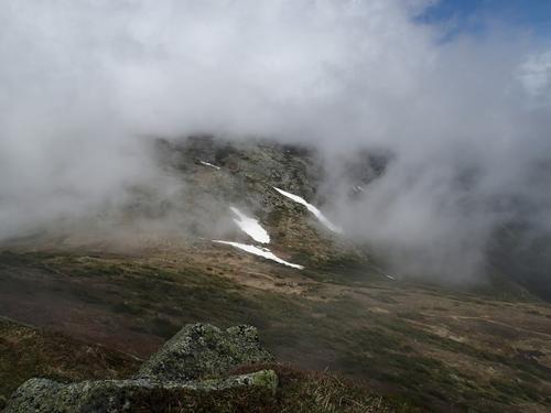
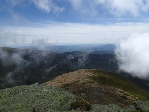
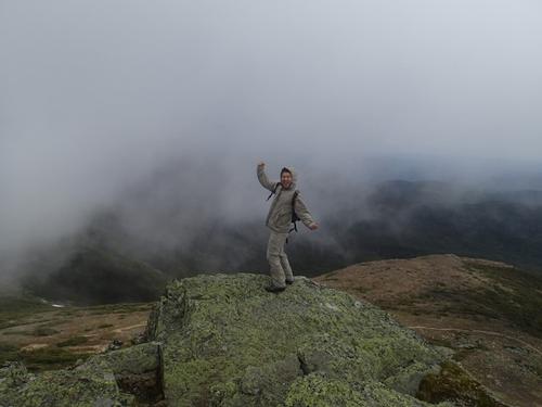
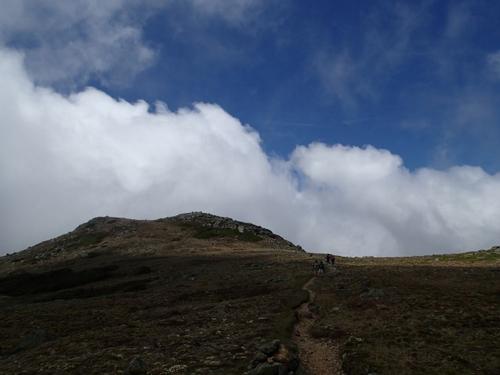
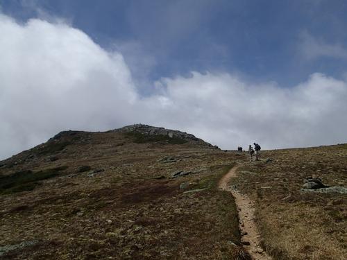
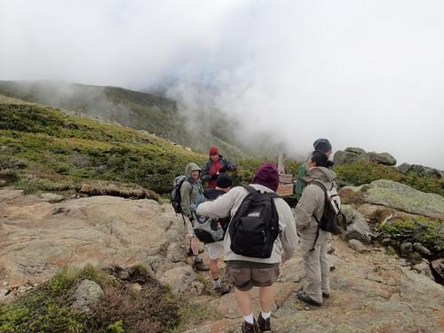
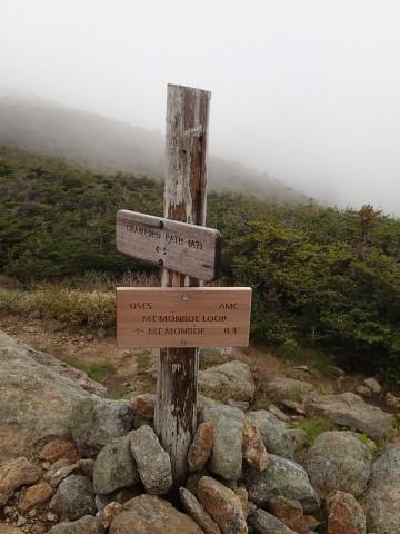
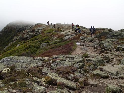
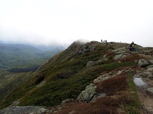
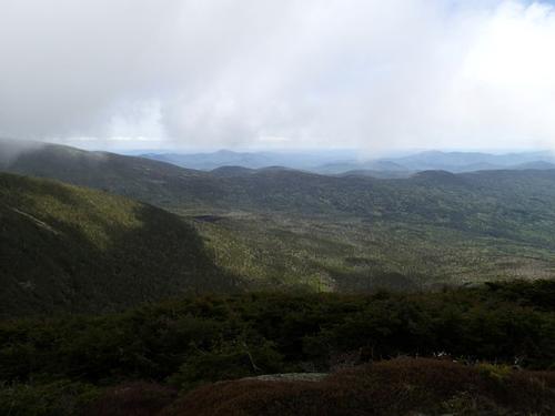
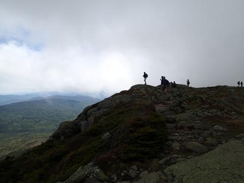
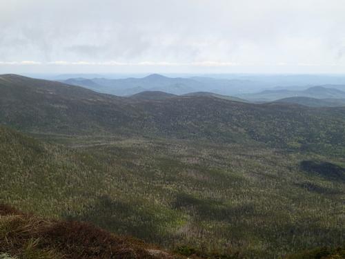
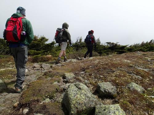
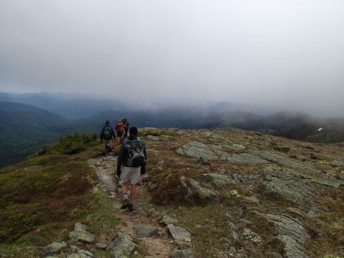
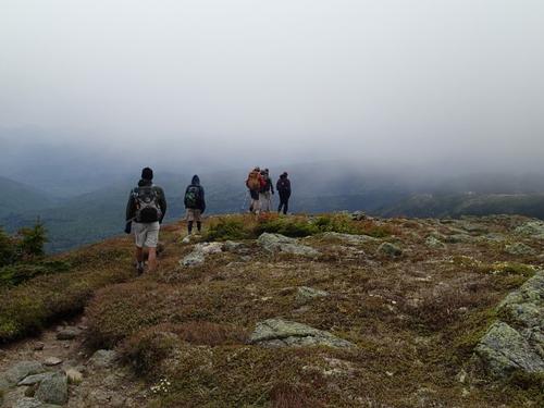
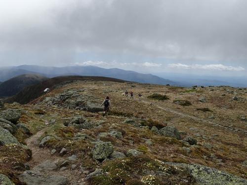
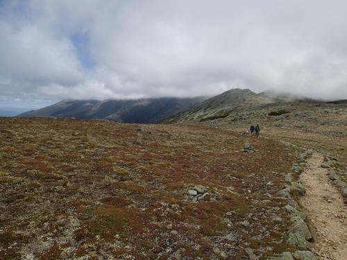
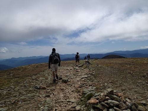
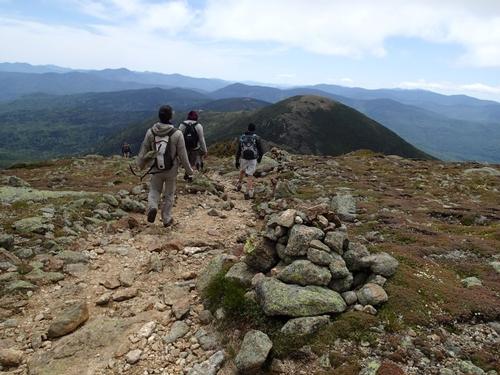
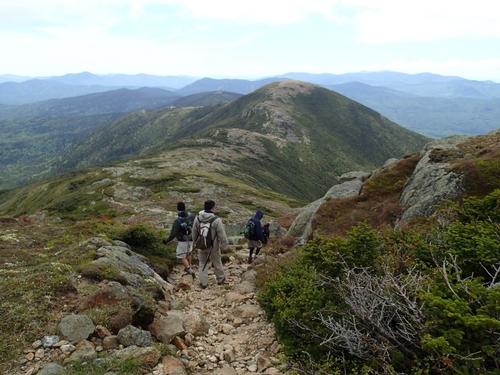
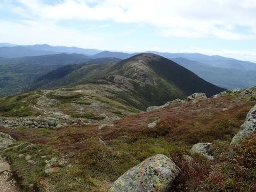
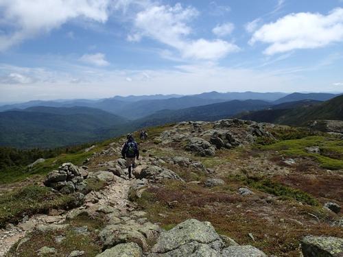
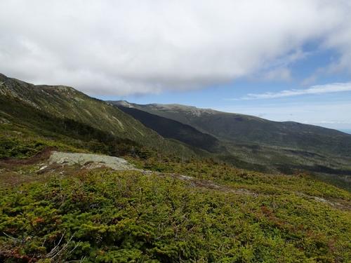
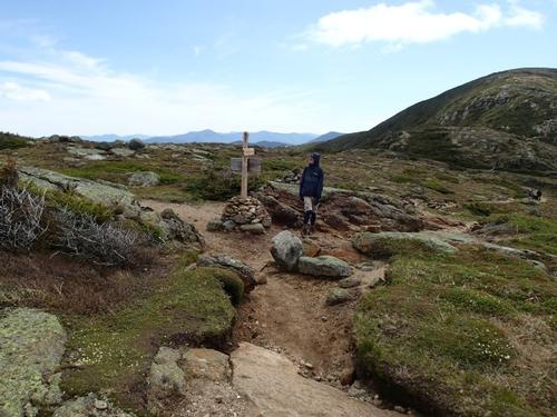
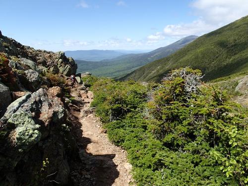
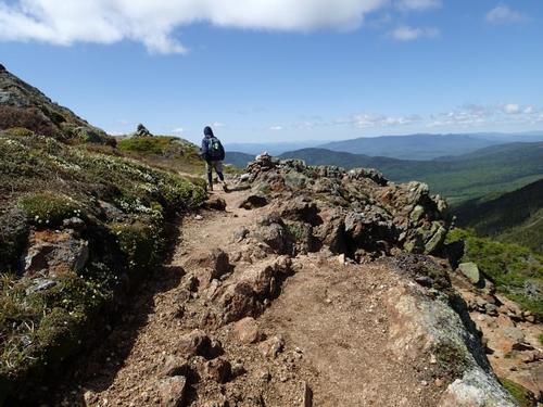
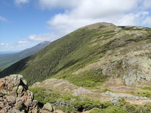
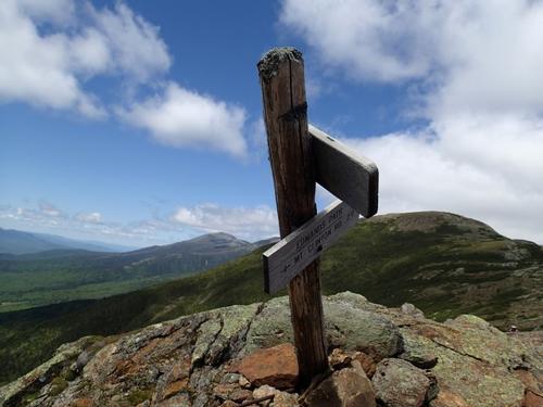
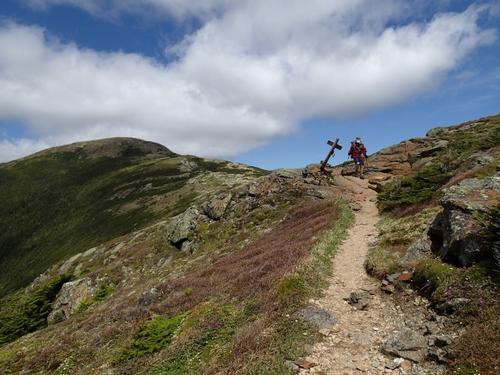
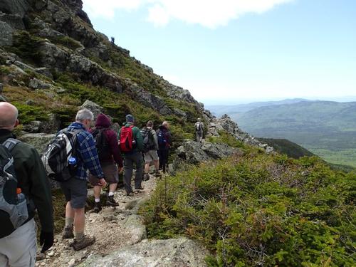
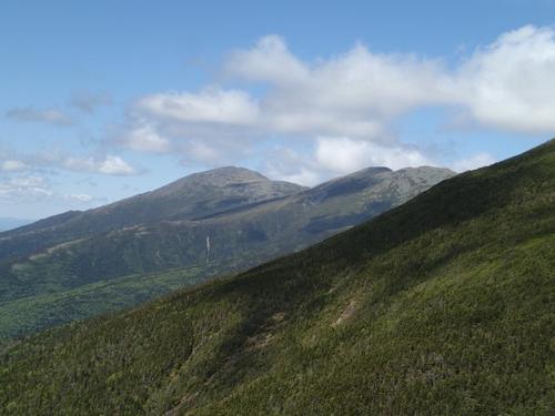
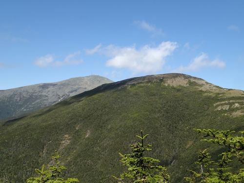
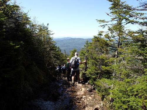
From here the clouds started to disappear and we started get views of the ridge we were about to traverse which included Mount Franklin. There were a few hikers on the trail so the weather kept most of them away. From here the hike became a classic above tree line White Mountains ridge traverse with a narrow cairn lined path that is surrounded by alpine vegetation. Oh yeah and did I mention that the views kept getting better in every direction as we continued hiking? Ahead of us we could see Mt Eisenhower and further back the Bonds and the Franconia Range. Does it get any better?
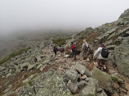
Once we reached the Edmunds Path, we took that down to bring us back to the car. The descent to the Edmunds Path treated us to a whole new perspective on the ridge we had just traversed. At first the Edmunds path was a stone filled ledge with more of the amazing scenery that we had been enjoying all day. We were finally able to see Mt. Washington and the northern Presidentials.
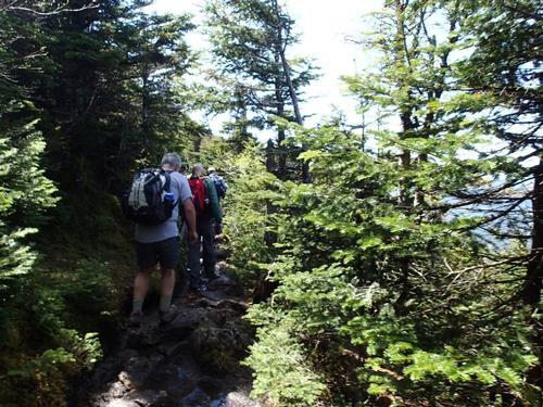
Before long we were back in the tree line and back at the car.
Despite hiking 7.5 miles and hiking up 2 peaks we felt like the hike flew by; that is the sign of a great hike. I highly recommend this hike for anyone who wants unbelievable views for a moderate effort. If you do take this route please do be prepared for extreme weather because it does spend substantial time above tree line. We had a great group with everyone sufficiently prepared to handle the conditions we encountered today.
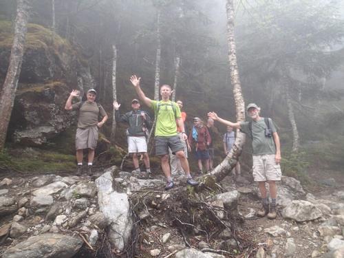
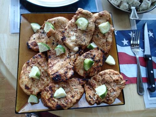
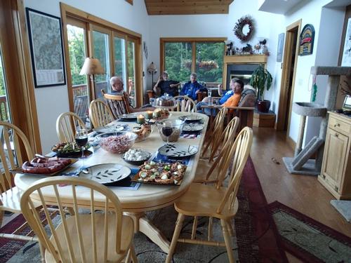
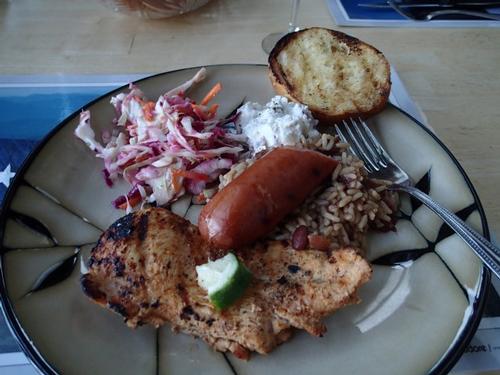
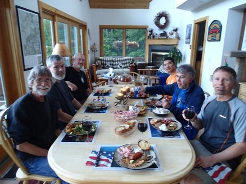
All in all, a great and challenging GO event with great fellowship, camaraderie and enthusiasm! Most of us gathered afterward at the GO Center for a well-earned yummy dinner social mixer prepared by Jon, drinks, and great conversation and laughs...a splendid time was had by all! Many thanks Rick, George, Tom, Tim, Dave, Dan, Jeff, Kevin, Jon and Mike for making the day such a fun time! |
Event photos (134)


Reactions
Log in to react to this trip report.
About this event
Mt. Monroe, [5,372'] is an excellent alternative to its more famous neighbor, Mt. Washington, offering superb views! The highest of the Southern Presidentials, it provides a wonderful craggy throne for gazing at Oakes Gulf and the Dry River valley, down the twisting Southern Presidential ridge, and up to massive Mt. Washington with the Lakes of the Clouds nestled beneath. We will ascend up the Ammonoosuc Ravine Trail with a stop at Lake of the Clouds and the AMC hut.
We'll then hike the Crawford Path to the Mount Monroe Loop. Continue to enjoy the magnificent open ridge walk overr to Mt. Franklin
We will car spot, so we can enjoy the magnificent open ridge walk over Mt. Franklin [5,001'] on the Crawford Path, a little alpine bump, that has an interesting view looking down into the Dry River valley from the brink. We'll descend via the Edmands Path. This is considered a moderate to strenuous hike!!! Proper gear is must.
On the Ammonoosuc Ravine Trail, there is a very steep, rough ascent. Email us if you have any questions. The loop is 8.2 miles, 2,950 feet elevation gain and a book time of 5 1/2 hours. It always takes us longer so plan on a finish of 5 pm.
After The Hike: Everyone is welcome back at our house in Waterville Valley to socialize around the deck and enjoy a home cooked meal with dessert! It's BYOB and it costs $5 per person.
Lodging Option: Bunk beds are available at our house near Waterville Valley, NH for Friday and/or Saturday night at $20 per night. Coffee/bagels each morning and linen/blankets/towels are provided. We have limited space in the fridge to store your beverages/food so it's best to bring a small cooler. Space is limited so email ASAP to reserve a bunk!
Who came along (8)
 SUSTAINING
  SUSTAINING
  GUEST MEMBER
  GUEST MEMBER
  GUEST MEMBER
  GUEST MEMBER
  GUEST MEMBER
Comments
Log in to join the conversation.