
Kaaterskill High Peak Hike
A Perfect Day to Complete my Catskill Peaks!
The trip report
On Sunday, September 7th, Tom and I met up at the trailhead for Kaaterskill High Peak off of Platte Clove Road at about 8:40AM. We waited for the other guys, who had signed up. When it was apparent, that they weren't going to show, we signed in at the trailhead and headed up the Long Path, which doubles as a snowmobile trail. It was approximately 9:30AM and it was shaping up to be an absolutely beautiful day.
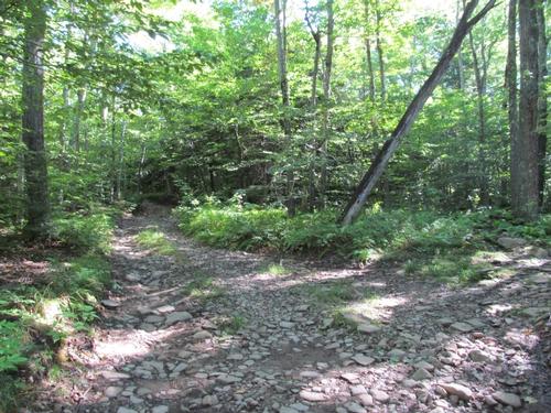
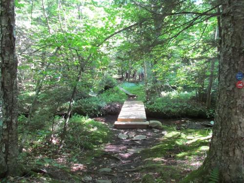
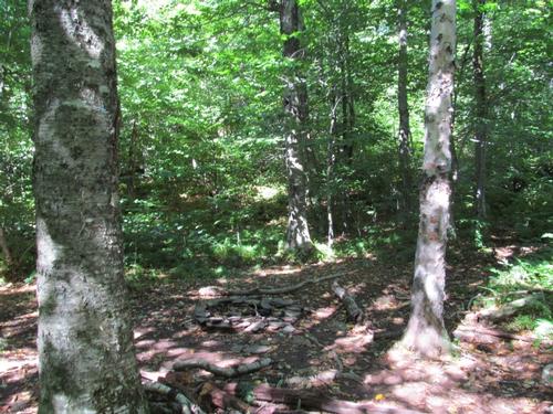
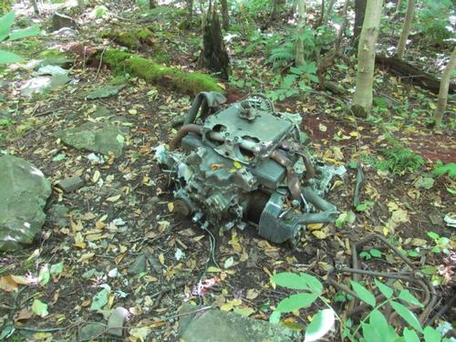
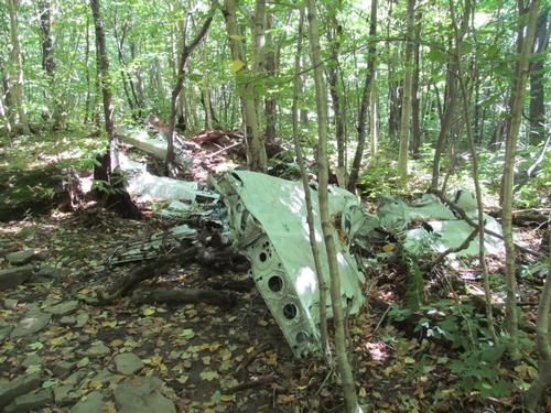
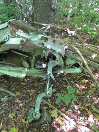
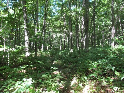
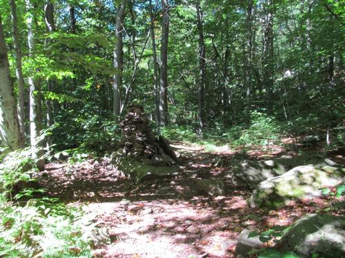
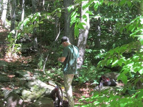
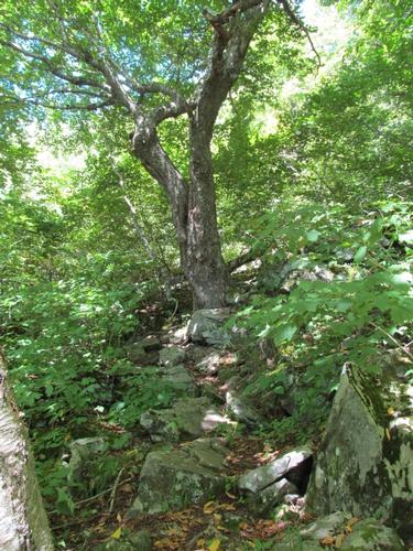
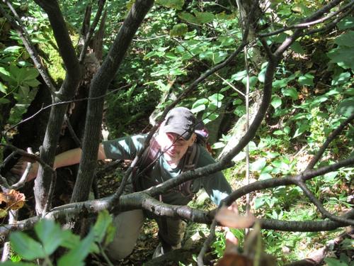
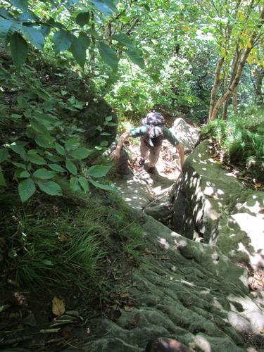
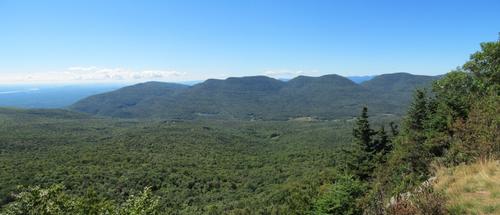
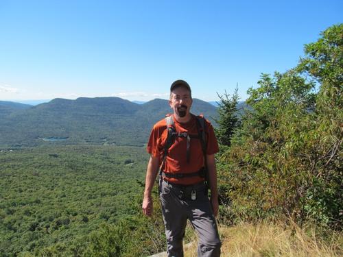
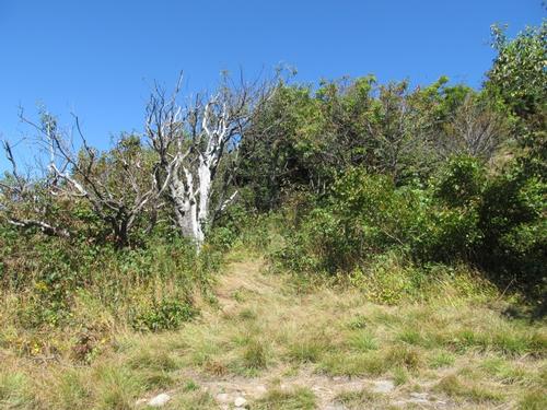
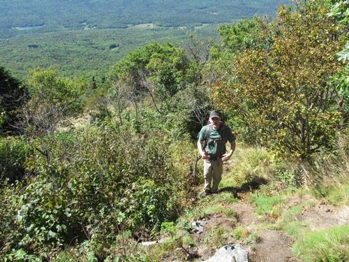
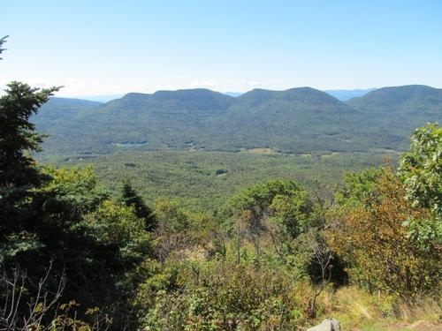
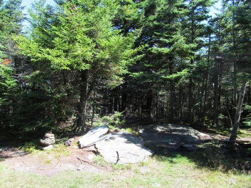
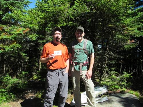
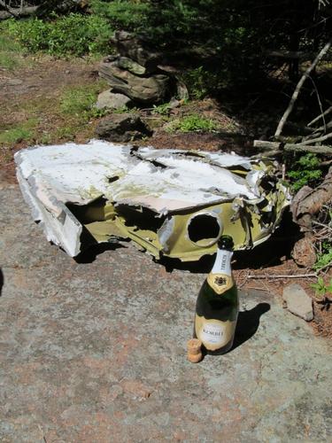
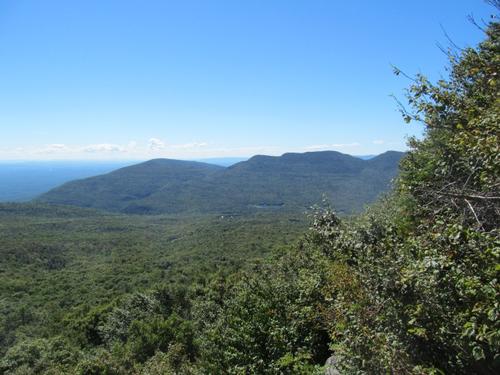
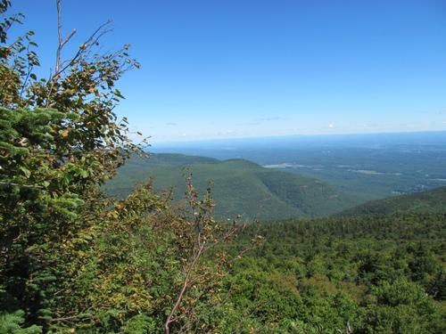
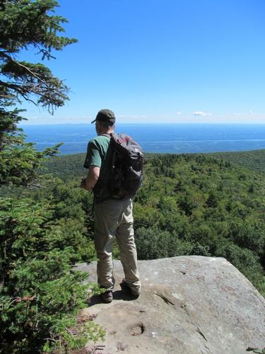
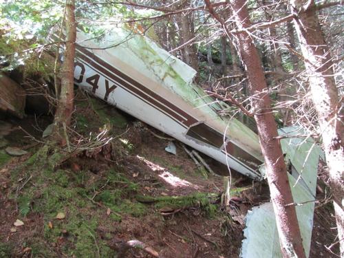
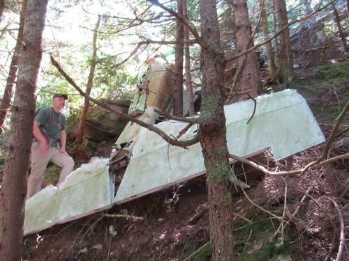
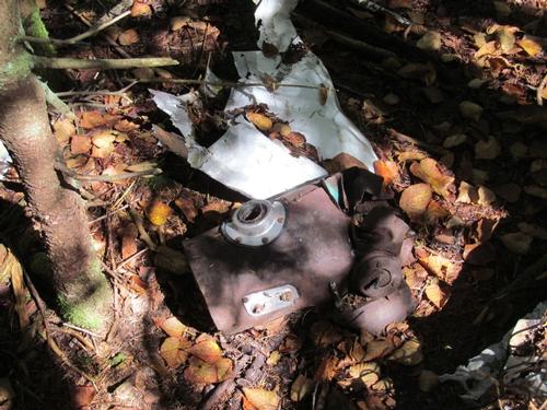
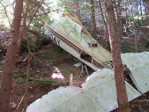
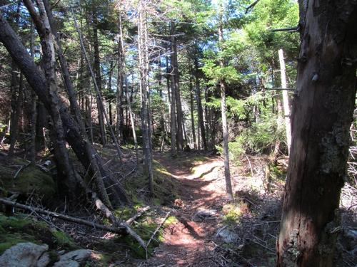
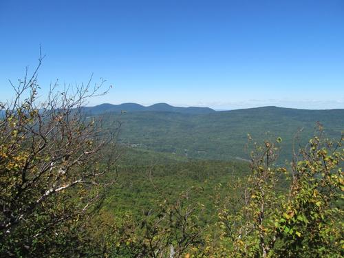
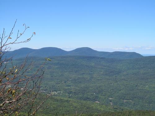
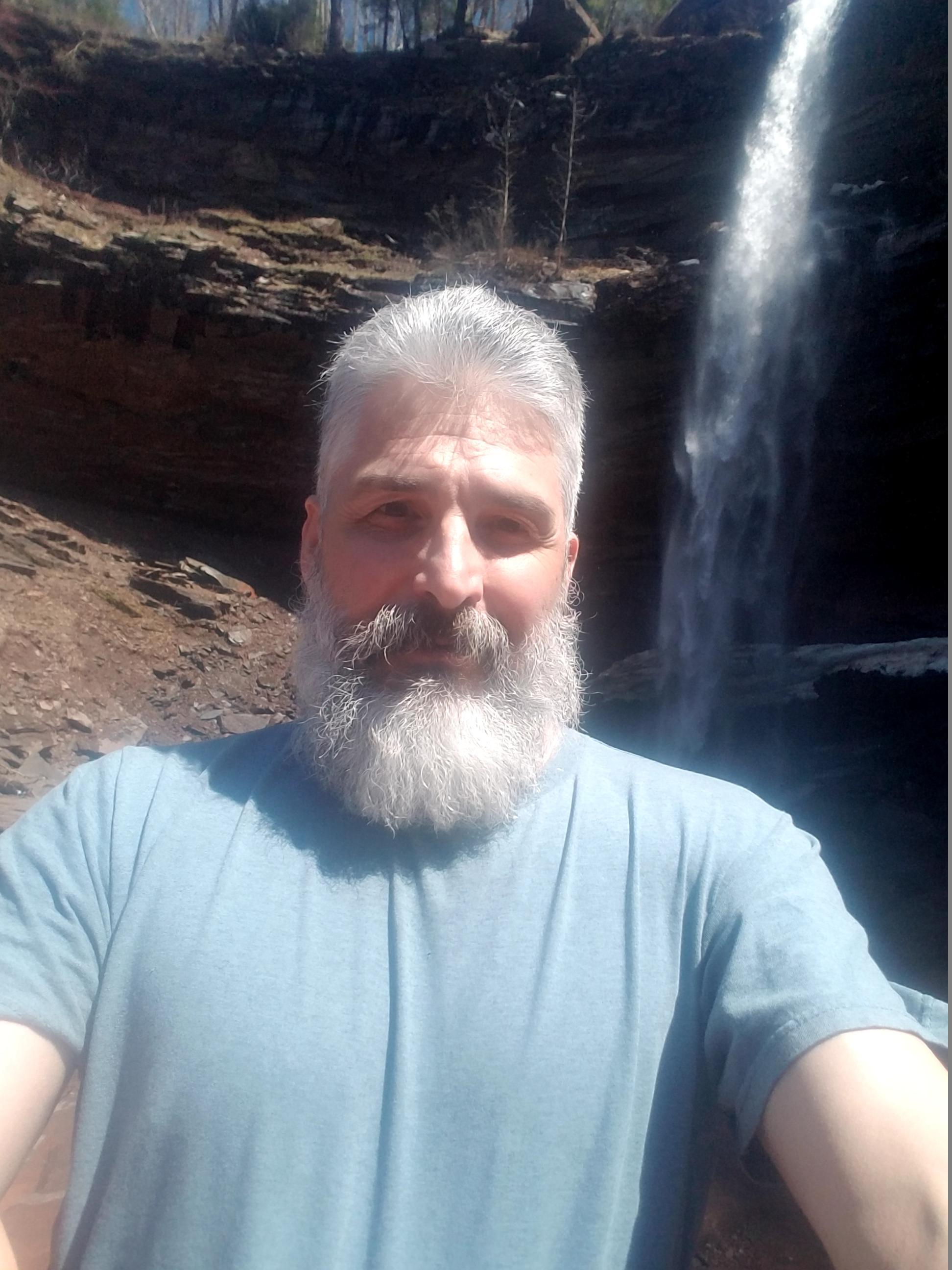
The Long Path here was wide and must have been a tote or jeep path at some point. The "trail" alternated between modest grades and level sections. We made good time on this and by 10:30AM we had reached the cairn, which marked the short-cut up to the snowmobile loop trail, that encircles the mountain. The herd path was well-worn and easy to follow as it cut through an old Mohawk Indian Camp (or so I had read). It only took about 10-15 minutes before we emerged out on the snowmobile trail. We headed west on this path and in a few minutes we had reached the first airplane wreck. It appeared to be a small single engine private plane. Parts of the wings, engine and landing gear were visible. As we continued along the trail, we found a large cairn, which marked the unmaintained trail to the top. It was about 11:10AM and we took a short break here. The trail steepened as we climbed, but all-in-all it was a fairly short climb with only a couple of really steep sections. We emerged out onto Hurricane Ledge at 11:30 and were rewarded with amazing views southward to the peaks along the Devil's Path. We hung out for about 15 minutes before continuing the climb towards the summit. Of course the summit (3655') was completely wooded as usual, but it was in a nice open clearing with a piece of the second airplane wreck placed here. This was my 35th and final Catskill peak! I had carried up a bottle of champaigne and we popped it open and shared a cup, even including another hiker who was at the summit at the time. It was noon, so we also settled in for lunch.
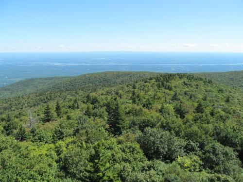
After lunch, we hiked down the path which led off to the east. A second plane wreck was somewhere over on the eastern flank and we went looking for it. The well-worn path led to a nice ledge with views out over the Hudson River Valley. This view was a pleasant discovery, since it wasn't noted on the map. In any case, we didn't come across the plane. We ran into another couple, who were also looking for it. There was a faint herd path that continued down the mountain, but we soon concluded that this had descended too far. We backtracked again towards the summit and about half-way back, we discovered it under a ledge just in the trees. Again, it appeared to be a small aircraft, with much of its tail section still intact.
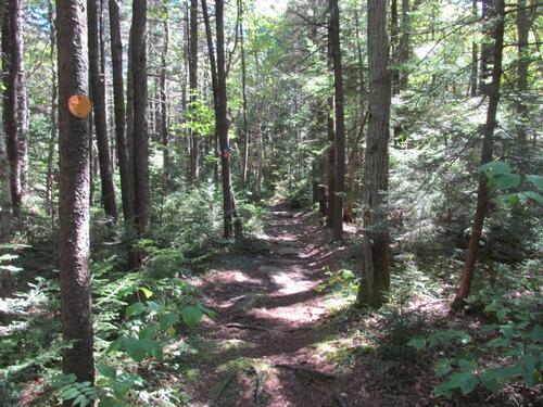
We headed back to the summit at around 1:20PM and we started to descend off of the north side of the peak. On the descent there was a small ledge with views northward towards the Blackhead Range. We continued until we once again reached the snowmobile loop trail. It was 1:50PM and after heading east for a short time, we found the connector trail back out to the Long Path. From here it was just a matter of following this all the way back to the parking lot. It was a pleasant walk and by about 3:40 we reached our cars.
Afterwards, Tom and I drove to the Last Chance Bar and Restaurant in Tannersville for a quick bite to eat.
It couldn't have been a better day to do this final peak. It was clear with just the right temperature to hike. It was an interesting hike with the two plane wrecks and the amazing views from the two open ledges. Thanks to Tom for joining me on the trip!
Event photos (32)
Reactions
Log in to react to this trip report.
About this event
Join me for a mostly modest hike out to Kaaterskill High Peak (3655'). We'll use the southern approach from Platte Clove, as this is shorter with less elevation gain. Parts of the trail consist of a portion of the Long Path, snowmobile trails and unmaintained trails. To keep the distance to a reasonable level, we will bushwhack a very short distance between trails (0.2 miles)...this consists mostly of an old herd path through an old Mohawk Indian camp, which cuts out a few miles, so that we can traverse the summit from the south. Highlights of the hike include the summit, wonderful views from Hurricane Ledge near the summit and two airplane wrecks. Note: The trail grades are mostly gentle, with portions of level trail and a very steep section just below the summit on the southern flank.
Total Distance and Elevation Gain: 7.6-8.0 miles with approximately 1775 feet in elevation gain.
Optional extension: If there is interest, we can descend to the col with Round Mountain to see the "Hanging Ledge" and the site of an old Tory Fort (Fort Brant). This will add a couple of miles and will require some bushwhacking from the col back to the snowmobile trail.
Total Time: 6.0 to 7.0 hours depending on breaks and group's speed.
Rain or harsh weather may postpone to another date or cancel, as appropriate.
Camping Option: Contact me, if you're interested in camping Friday and/or Saturday night. I would be happy to set something up or provide details to share my site. I may be staying at the North-South Lake DEC Campground...contact me first.
What to Bring: Typical summer hiking gear should be appropriate: convertible hiking pants or shorts, good sturdy hiking boots with thick socks, a windbreaker/raingear. Note: Since we may bushwhack a short portion, hiking pants are highly recommended to protect your legs. Also bring along lunch, snacks and plenty of water (at least 2-L). Optionally, pack sunscreen, bug spray, and anything else that you may require for a day hike.
Carpooling: Contact other participants or the trip leader to arrange for a rideshare to the trailhead.
Afterwards: If there is sufficient interest, we will have drinks and/or dinner in the area (possibly at the Last Chance Restaurant/Bar in Tannersville or somewhere in Saugerties, depending on the direction that's convenient for everyone).

Comments
No comments yet.
Log in to join the conversation.