
Mts Washington & Monroe Loop Hike
A Mt Washington Ascent in all its Winter Glory!
The trip report
A funny thing happened on the way to the hike...Going up the Base Station Road I hit a patch of ice and ran off the road and into a tree. Martin showed up just about 10 minutes later and we waited for the police and then a wrecker to get me extracated from the side of the road...and the tree. By a little before 9AM I was back on the road and we drove up to the hiking parking lot near the Cog Railway Station.
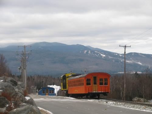
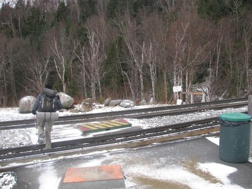
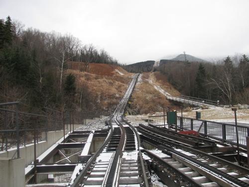
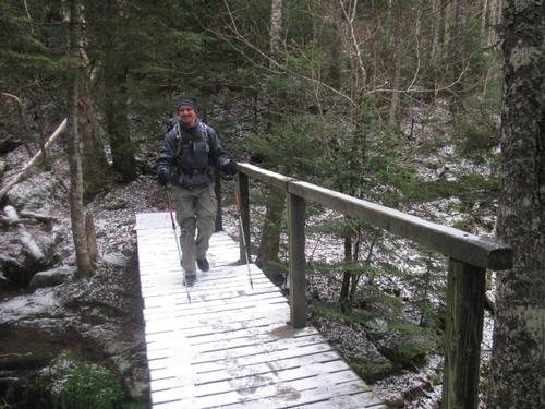
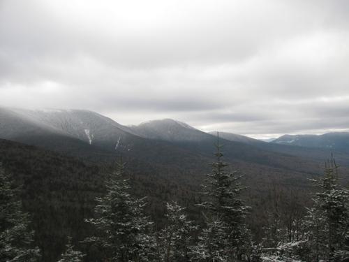
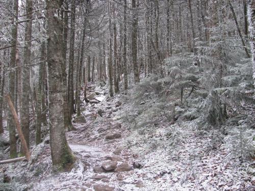
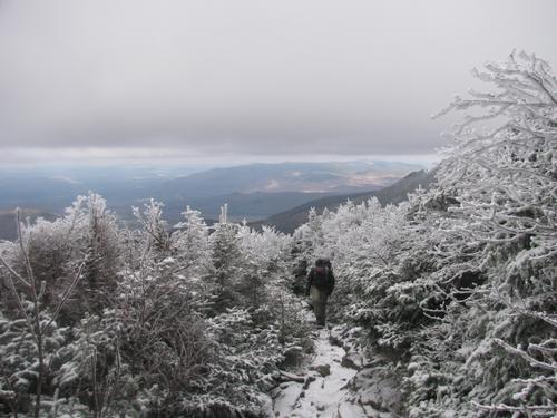
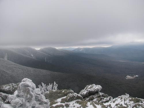
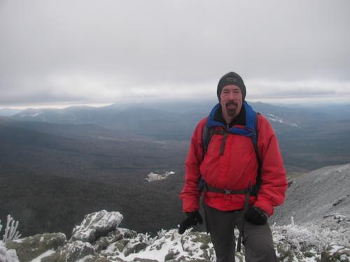
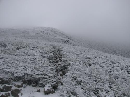
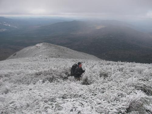
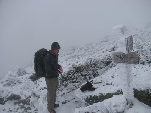
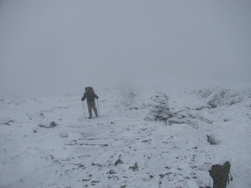
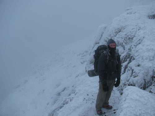
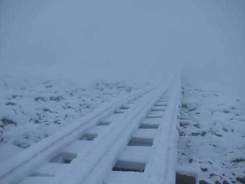
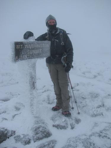
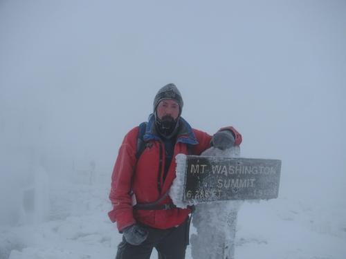
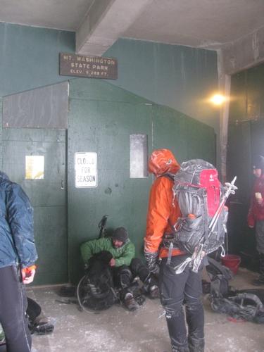
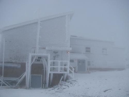
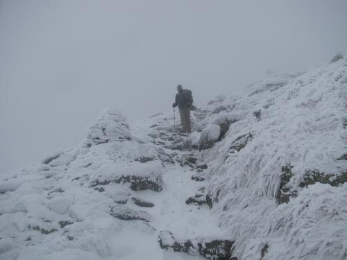
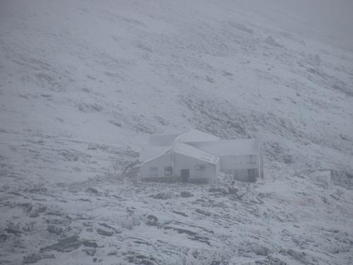
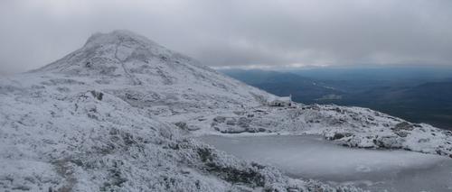
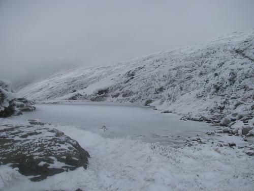
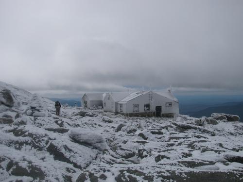
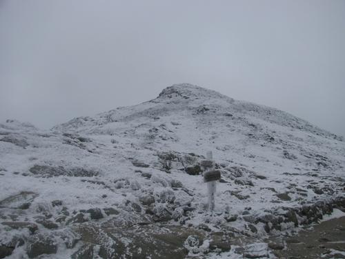
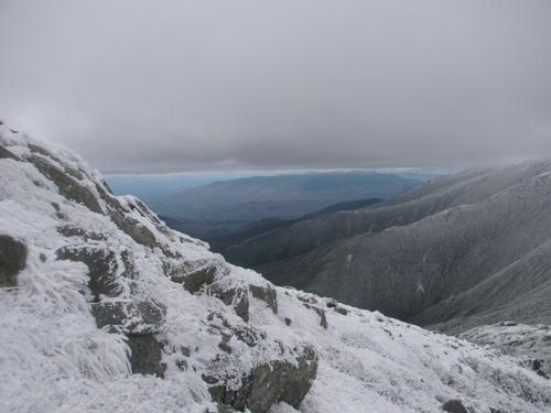
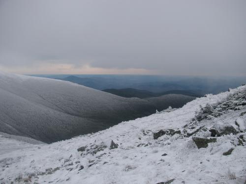
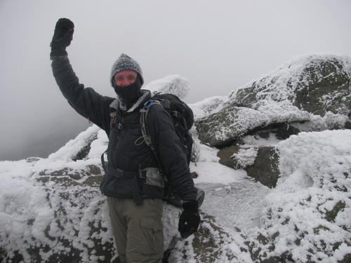
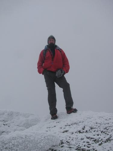
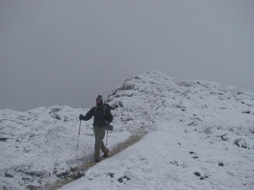
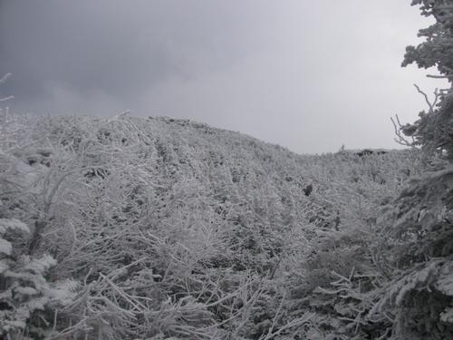
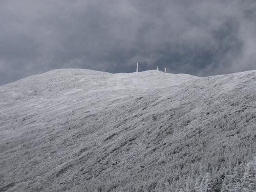
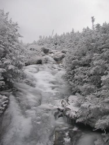
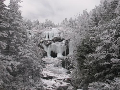
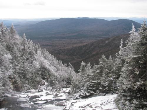
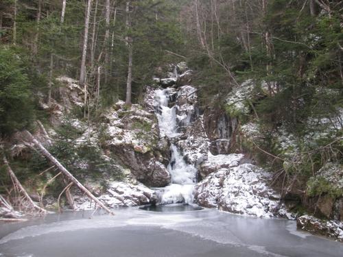
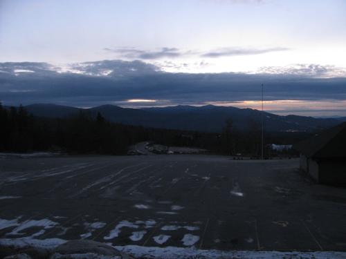
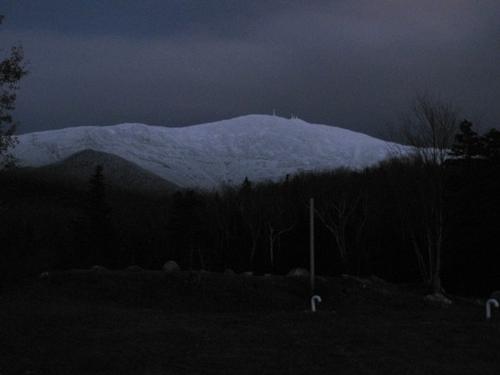
Despite the late start, we decided we would do the trip as planned and after getting ready, we headed for the Jewell Trail. It was chilly out (below freezing) with low cloud cover. The trail was snow covered, but easy enough without additional traction. Just prior to reaching treeline, we thought it would be a good thing to have an early lunch, since it would be harsh on the exposed terrain. It was about 10:30 when we happened upon a trailside camping site and we had something to eat here. Shortly after our break we did reach treeline and we were treated to partial views of Eisenhower and into the valley below. It didn't take long after this for us to be totally in the clouds with limited visibility...even the cairns were hard to see at times. We reached the Gulfside Trail junction by 11:20. Around this time we both had put on microspikes and our face masks as the winds and snow cover were more significant. We reached the Great Gulf side by 11:45AM (with no views) and 12:20PM we had reached the summit! The winds and temperature (forecasted to be 16F and 25-30mph) were definitely stinging, so we quickly took our pictures on the summit and then walked around to the visitor center. It wasn't open, but the entrance alcove provided a nice respite. There were about a dozen other hikers huddled out of the wind here. We rested and chatted with the other hikers before heading back out and down the Crawford Path on our way to the Lake of the Clouds. Just before reaching the AMC hut and lake, the clouds were beginning to lift and we could again see down into the valley. Mount Monroe was also visible. We took another break at the hut before ascending Monroe. It was 1:55PM when we reached the summit. We took our usual summit photos and quickly turned around to head back to the hut. We rested again at the hut before starting down the Ammonoosuc Ravine Trail. After a short distance down the trail, it became a sheet of ice and it was slow going for portions of this. Even with microspikes it was slippery in a number of spots. Still it was beautiful and by this time Washington's summit was starting to clear up. A nice reward for a challenging day. The lower park of this trail flattened out considerably and our pace quickened for this final leg. We reached the Cog Railway again by 4:50PM It was past sunset, but was still light enough to see. After the hike we got situated and drove down the road to Fabyan's in Bretton Woods for a nice post-hike meal.
Despite the challenging conditions and our late start, it was a really nice hike. It may seem insane, but it was cool to see the mountains under these different conditions. It was truly a winter hike though, despite the calendar! Thanks, Martin for braving the elements to join me on it! As always it was a pleasure!
Event photos (38)
Reactions
Log in to react to this trip report.
About this event
Join me for this classic loop hike over the highest point in the Northeast. On our way up to Mt. Washington (6288') we will utilize the Jewell and Gulfside Trails. This is modest in grade, but the trails are rocky above treeline. Our descent off of Washington will use the Crawford Path down to Lake of the Clouds. Here we'll take the short trip up and back to Mount Monroe (5372') before descending the Ammonoosuc Ravine Trail. Much of this trip is above treeline, so we'll be exposed for a good portion of the day...but on a clear day the views are expansive. Expect cold temperatures and wind, particularly on the summits.
Total Distance and Elevation Gain: 9.5 miles with approximately 4000 feet in accumulative elevation gain.
Total Time: 8 hours or more depending on breaks and group's speed.
Rain or harsh summit weather may postpone to another date or cancel, as appropriate.
What to Bring: Typical fall hiking gear should be appropriate: convertible hiking pants, good sturdy hiking boots with thick socks, a windbreaker/raingear and extra layers (e.g. fleece)...or winter jacket/parka depending on forecasted summit conditions. Also bring along lunch, snacks and plenty of water (at least 2-L). Optionally, pack sunscreen and anything else that you may require for a day hike.
Carpooling: Contact other participants or the trip leader to arrange for a rideshare to the trailhead.
Afterwards: If there is sufficient interest, we will have drinks and/or dinner in the area (Fabyans).

Comments
Log in to join the conversation.