
Plateau & Sugarloaf Mtns Loop Hike
A Challenging and Fun Hike to two Summits along the Infamous Devil's Path!
The trip report
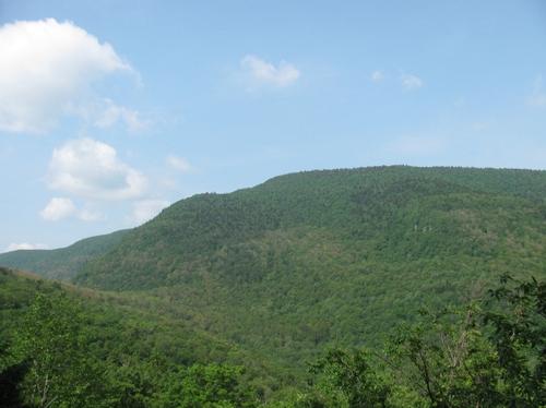
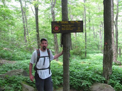
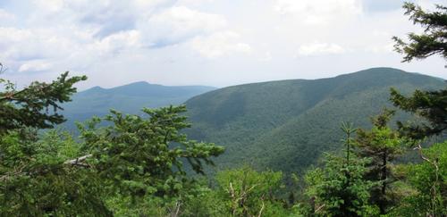
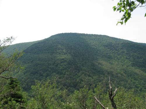
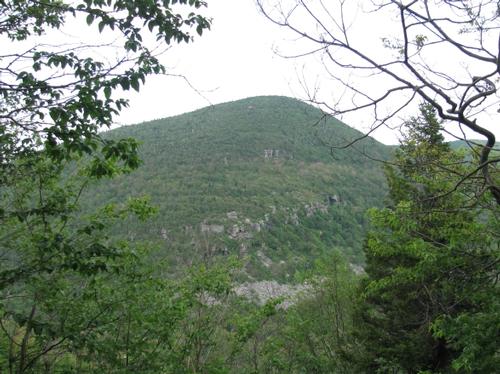
After spending the night at the Devil's Tombstone Campground south of Hunter, I drove over to the Roaring Kill Road parking area to meet up with Michael at 9AM. After getting ready and after talking with another hiker, we set off. A short distance in the woods the trail splits and we took the trail up to Mink Hollow. This was a modest woods walk up to the notch between the peaks. At 10:20 we reached a beautiful outlook, which provided views of Plateau Mountain. After getting distracted by the view and the way the trails turned sharply here, we mistakenly ended up backtracking a bit (the trail up went back down and the trail down actually went up). Anyway we lost about half an hour and we reached the Mink Hollow trail junctions with the Devil's Path at 11:45AM (talking occasionally with a pair of German hikers, that we had met during our course correction).
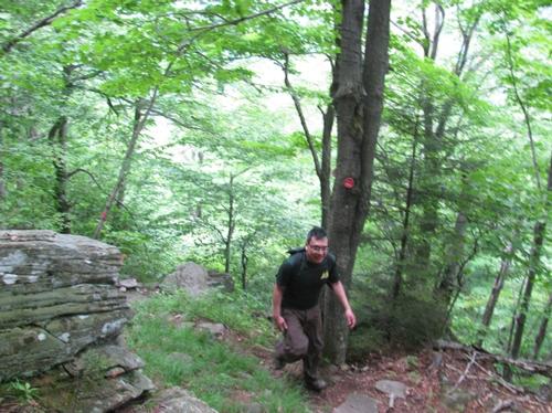
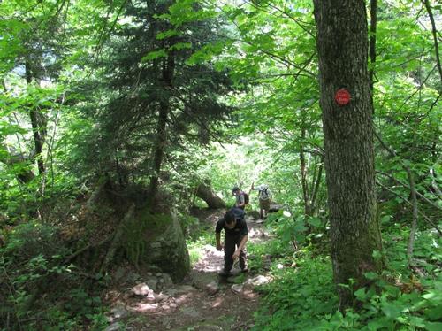
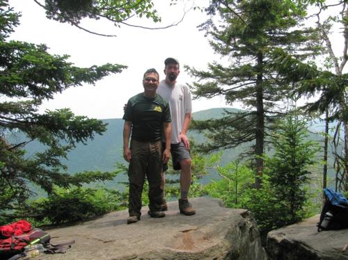
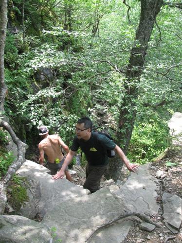
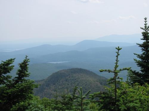
Once on the Devil's Path we turned west to first climb up Plateau Mountain. At the second trail junction in the hollow we encountered an aide station for the Manitou's Revenge Run, which was a 56 mile trail marathon along the Long Path that was occurring that day. From this point the trail immediately steepened...about 1300 feet in elevation gain in about a mile. It took alot of effort, especially considering the heat and humidity, but we made it to the outlook and shortly afterward the summit at 12:40PM. The summit was completely treed, so we backtracked to the ledge to enjoy a relaxing lunch and chat with fellow hikers. The view here was very nice with the summit of Sugarloaf prominently to the east. The fire tower and antenea on Overlook Mountain could also be seen in the distance.
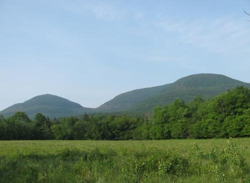
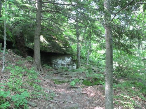
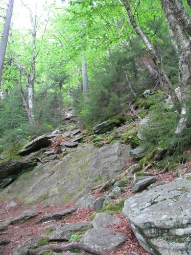
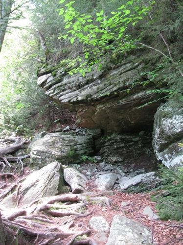
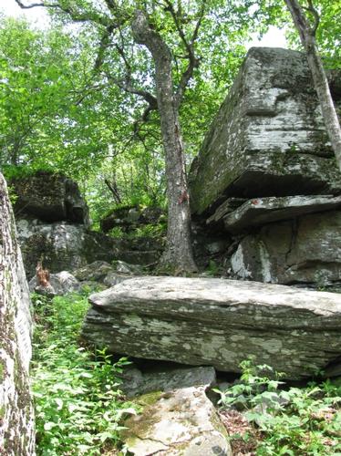
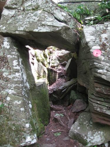
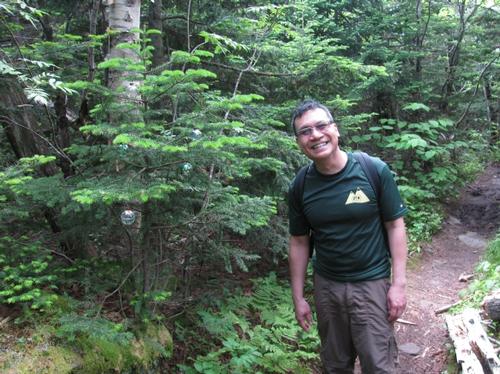
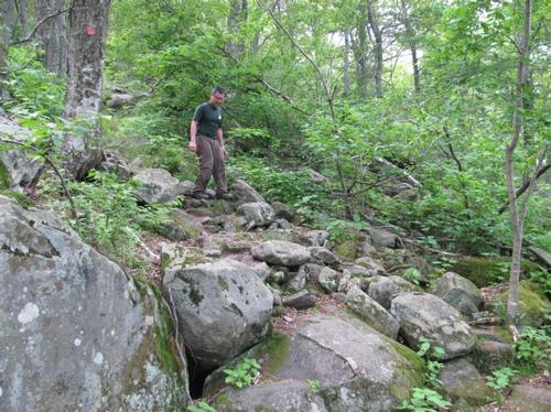
After lunch we descended back to the col in Mink Hollow and proceeded to climb up Sugarloaf. This portion of the trail was also steep, but it didn't seem as steep as the ascent up Plateau. The trail climbs up and through some interesting rock formations and even opens up a couple of times to yield views of Plateau Mountain. Even though the summit was again treed in, there was a short path to a ledge with beautiful southern views just prior to the summit. It was about 3:20PM. The summit was not very discernable; however, a pine tree at the height of land was decorated with Christmas ornaments.
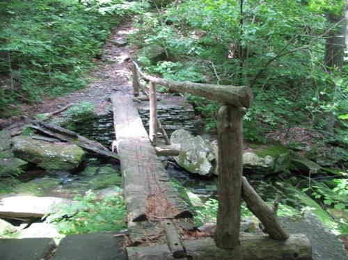
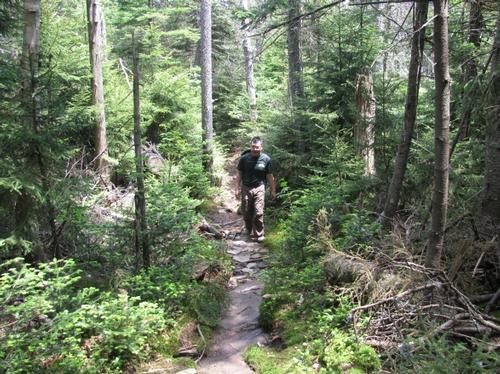
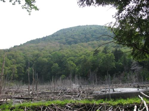
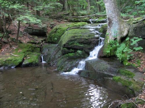
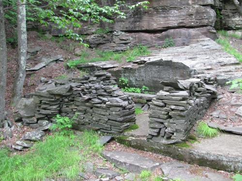
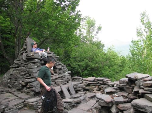
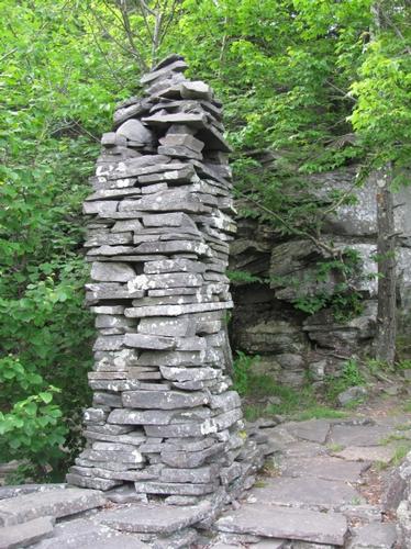
On the way off of Sugarloaf to Pecoy Notch, there was a nice ledge with views of Twin Mountain and its rocky cliffs. We reached the trail junction in the notch by 4:15PM and turned down the trail heading back towards the parking lot. From here on out the trail moderated in grade again and it passed an impressive beaver dam/pond with views back to Sugarloaf. After following and crossing a cascading brook, an expansive quarry was encountered, where some of the flat rock has been used to make chairs, walls, towers and other structures there. The rest of the trail meandered through the woods finally making it back to the parking area by 5:40PM.
We got organized again and headed back to Tannersville for a really nice meal at Currans Restaurant and Tavern. Afterwards Michael headed home and I returned to the Devil's Tombstone Campground for the night.
A huge thank you to Michael for joining me on this nice modified loop hike...he's a real trooper and it was great to catch up.
Event photos (27)
Reactions
Log in to react to this trip report.
About this event
Join me for this modified loop hike on a portion of the Indian Head Mountain Range and its Devil's Path. We'll start from the Dale Lane Trailhead ascending Plateau Mountain (3856') via the Mink Hollow Trail. From the junction with the Devil's Path, it is relatively steep for about a mile to the treed summit (with a view just prior). We'll backtrack to Mink Hollow, where we'll climb through a natural stone bridge and then proceed up to Sugarloaf Mountain (3810') by way of a number of difficult sections (steep with some rock scrambling). This peak is also treed; however, there are a couple of views on its approach. We'll descend to Pecoy Notch (again steep in sections) and return to the trailhead by this trail. We'll pass a few views, a beautiful beaver pond and have the chance to visit the Dibble's Quarry along the way.
This hike utilizes the Devil's Path to both summits of Plateau and Sugarloaf Mountains. This entire path is difficult and steep in sections. It is famous for its big rocks and cliffs to climb, rock chimneys, and loose/slippery rocks. Good footwear is a must!
Total Distance and Elevation Gain: 9.5 miles with approximately 3050 feet in accumulative elevation gain.
Total Time: 8 hours or more depending on breaks and lunch.
Rain or harsh weather will postpone until Sunday or another date, as appropriate.
Camping Option: Contact me, if you're interested in camping Saturday night. I would be happy to set something up or provide details to share my site.
What to Bring: Typical summer hiking gear should be appropriate: convertible hiking pants or shorts, good sturdy hiking boots with thick socks, extra layer(s) (as needed) and a windbreaker/raingear (just in case). Also bring along lunch, snacks and plenty of water (at least 2-L). Optionally, pack bug repellent and sunscreen and anything else that you may require for a day hike.
Afterwards: We should be completed with the hike by 5:00PM. If there is sufficient interest, we can grab dinner/drinks in Tannersville (possibly Currans).


Comments
No comments yet.
Log in to join the conversation.