
All trip reports
Trip Report
Moderate
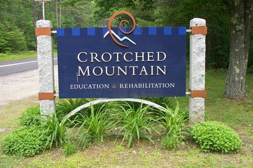
Crotched Mtn./5.9 miles/Scenic Views
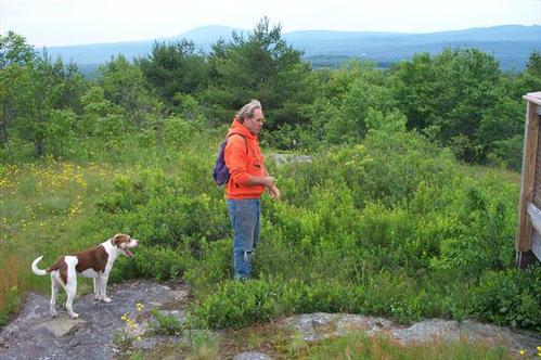
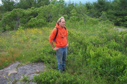
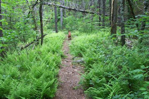
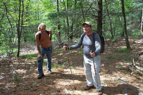
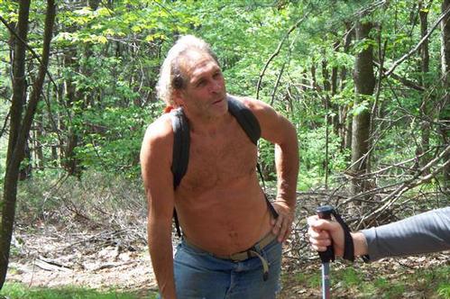
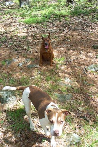
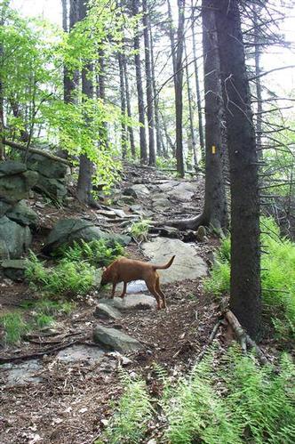
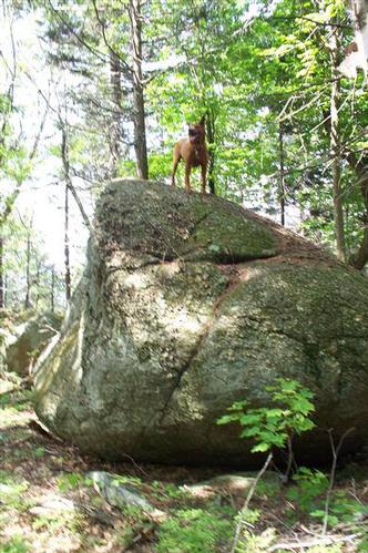
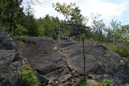
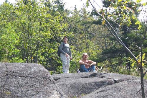
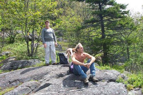
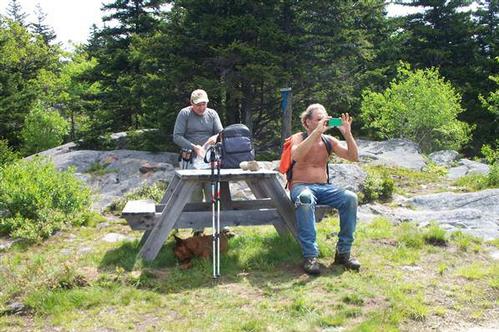
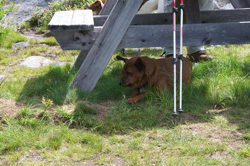
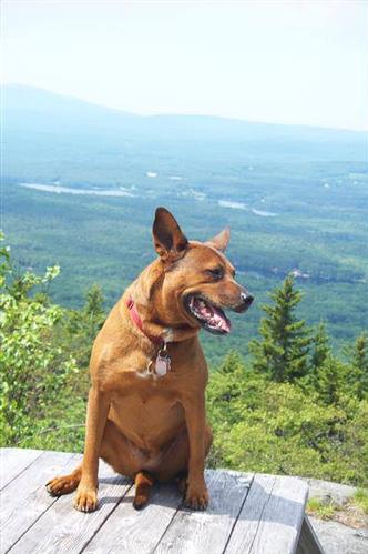
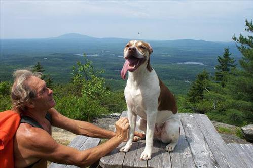
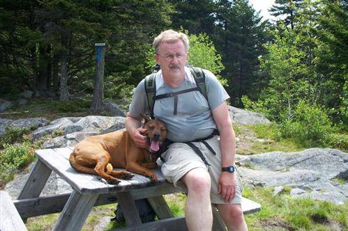
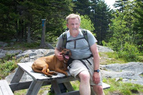
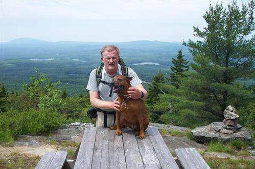
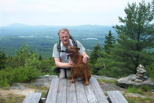
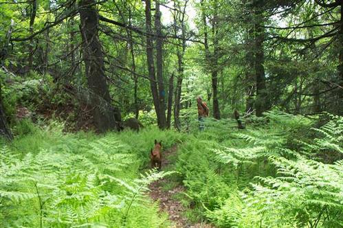
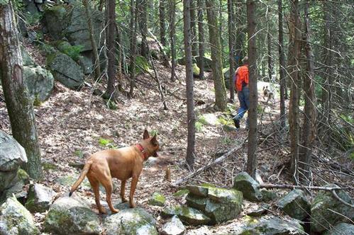
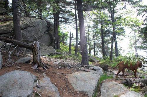
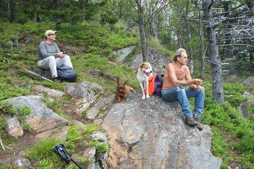
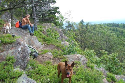
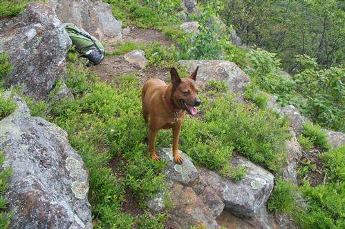
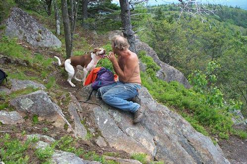
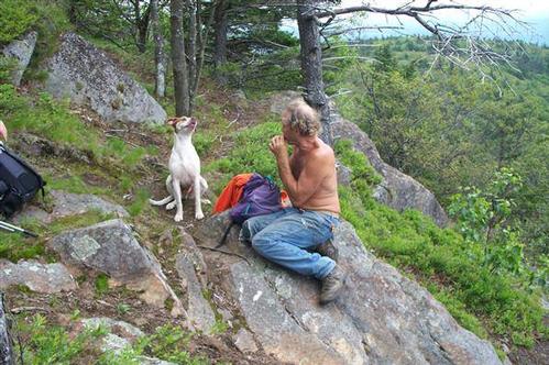
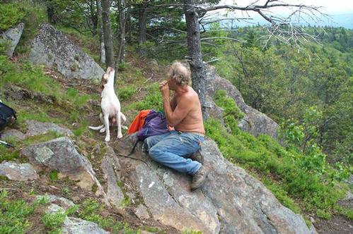
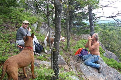
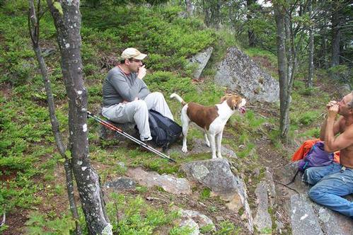
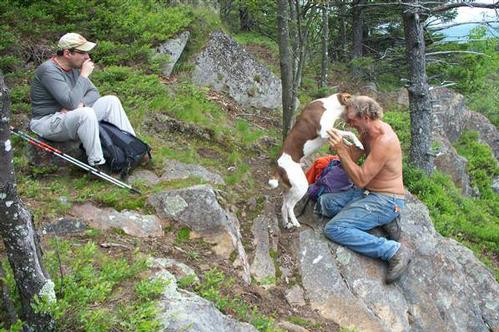
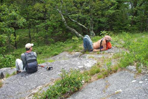
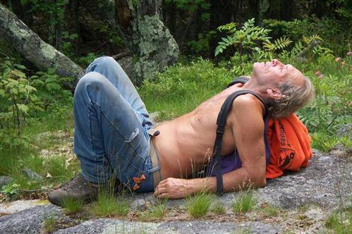
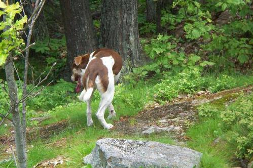
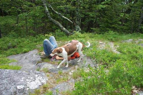
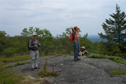
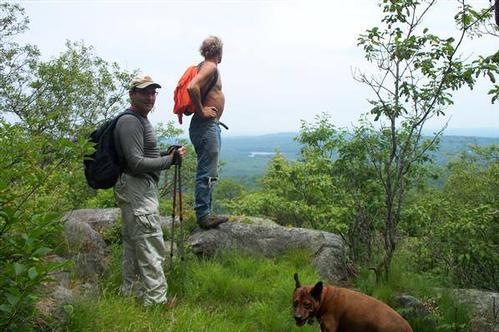
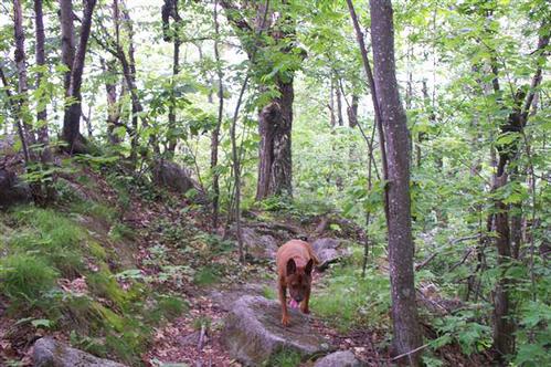
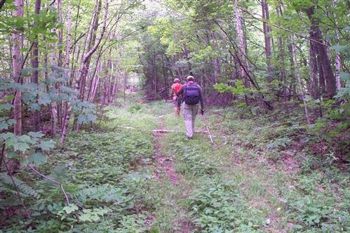
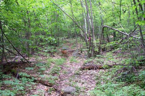
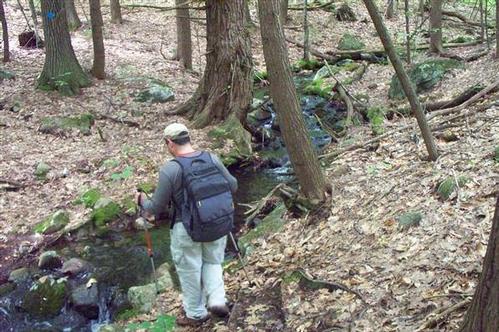
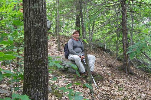
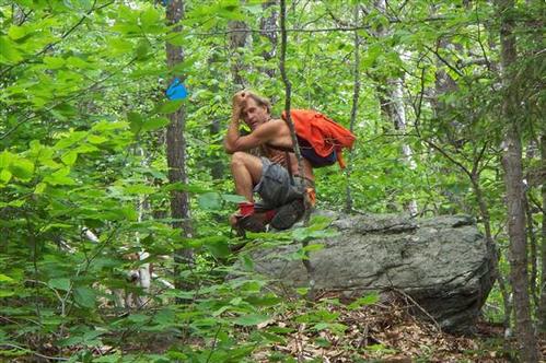
3 out of 4 people signed up for the hike showed up along with 2 dogs. It turned out to be a great day for a hike weather wise and everyone whether 2 or 4 legged had a good time..
The trip report
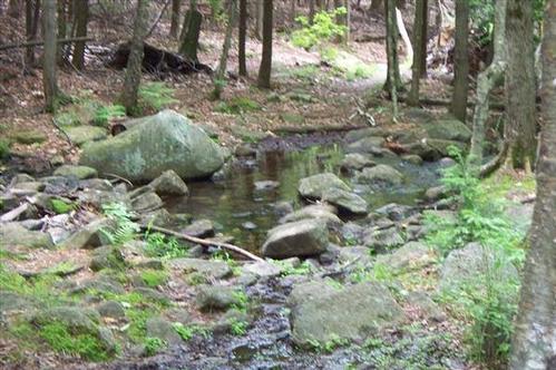
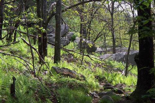
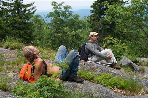
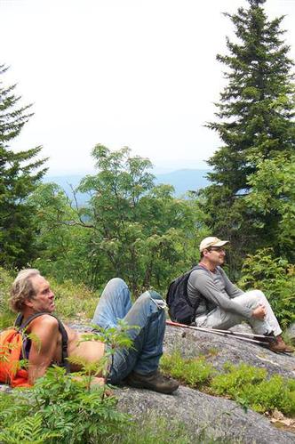
3 people and 2 dogs showed up for the hike with one no show. Weather wise it turned out to be a good day to hike. At the beginning it was a little cool but as soon as the hike started every one was plenty warm.
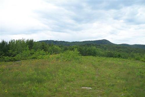
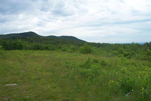
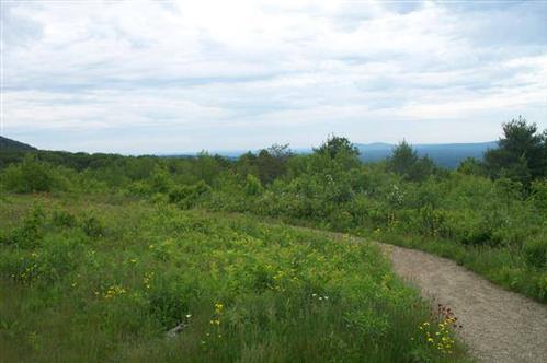
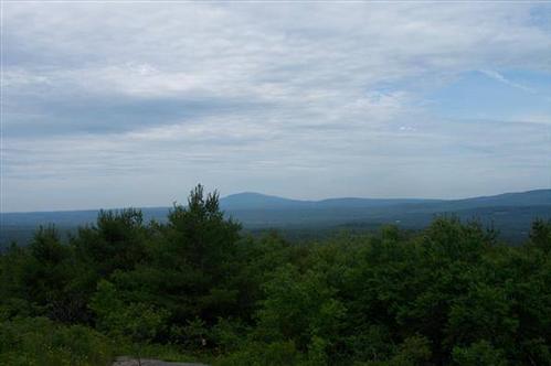
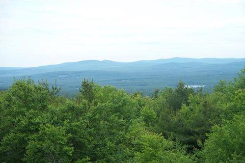
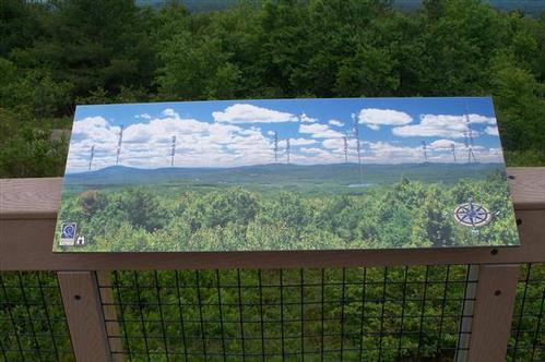
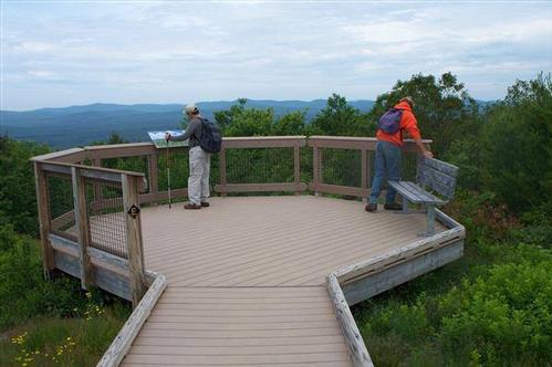
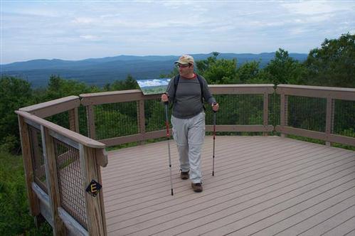
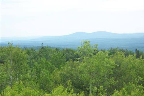
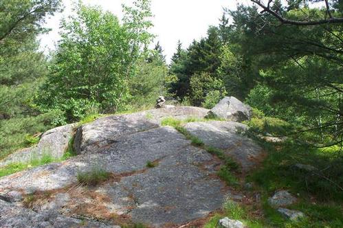
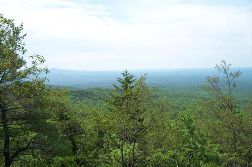
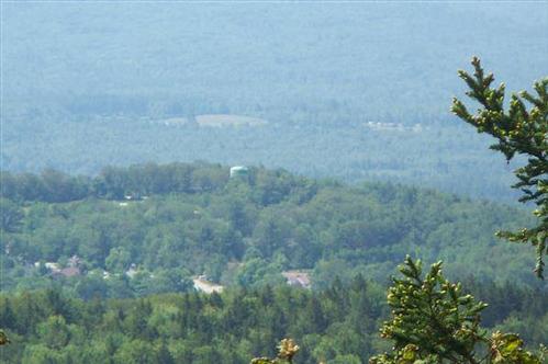
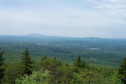
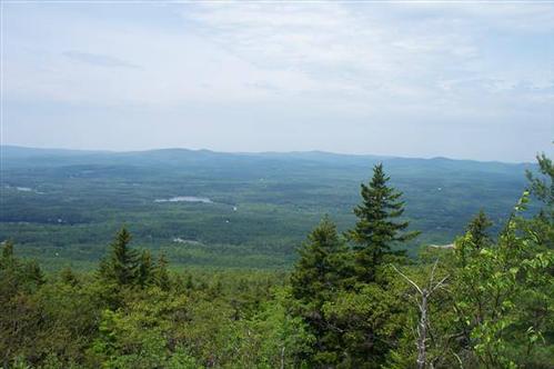
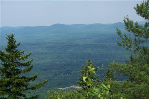
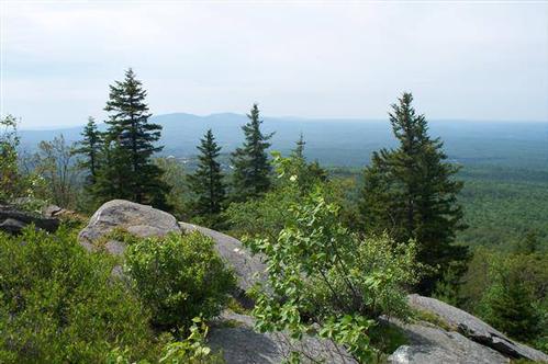
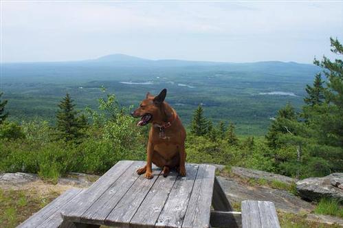
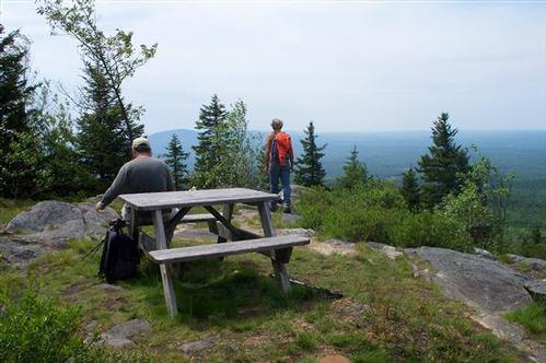
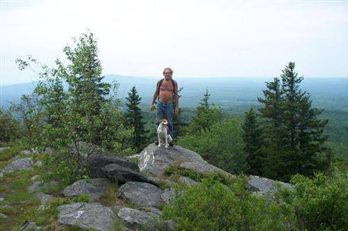
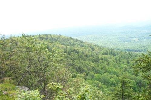
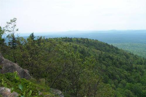
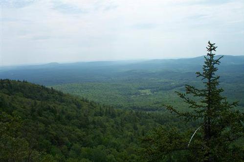
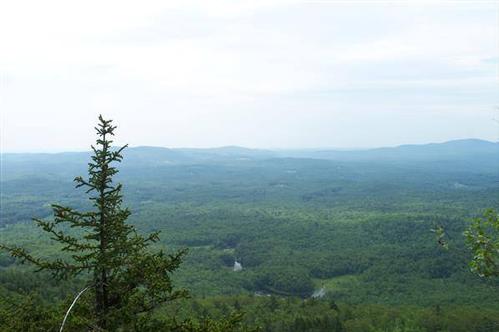
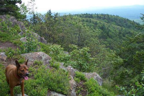
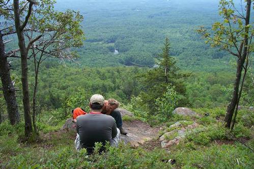
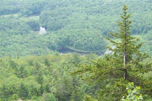
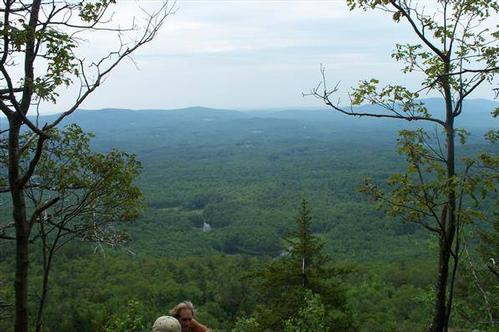
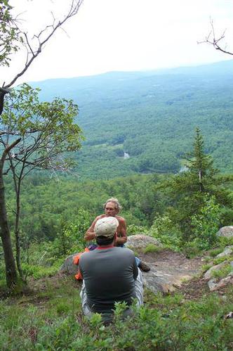
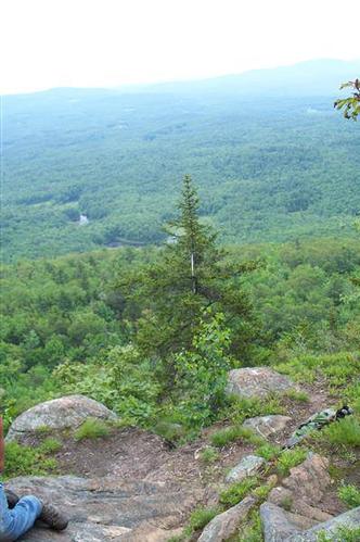
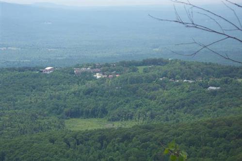
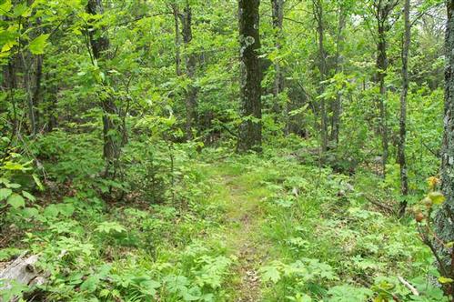
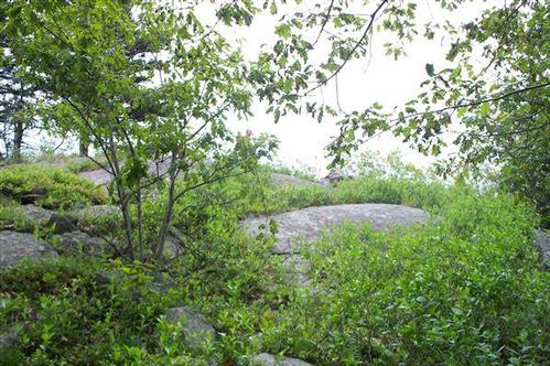
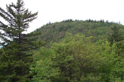
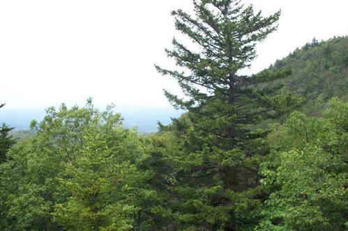
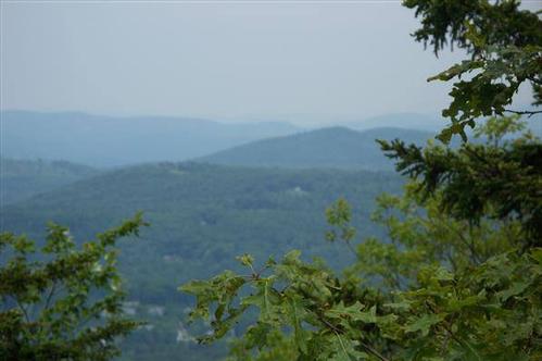
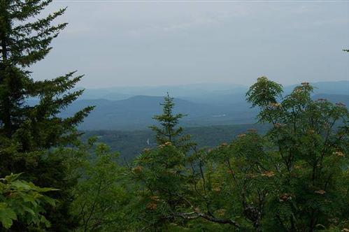
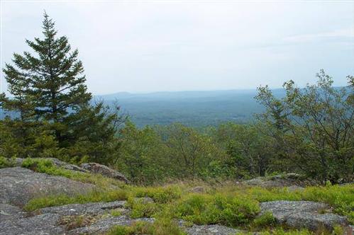
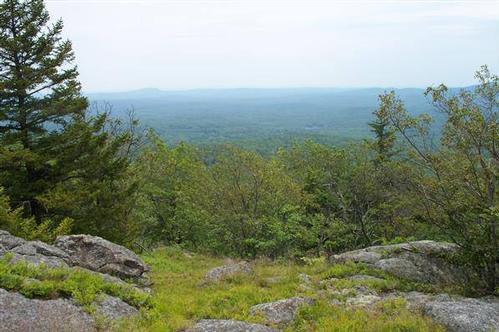
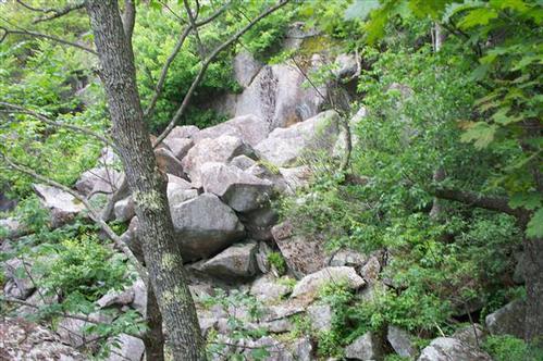
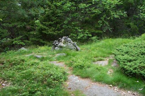
It didn't take long for the views to start with very little effort to get to them at all with a clearing that offered 360 degree views of the surrounding mountains along with a viewing platform with a map of the mountains.
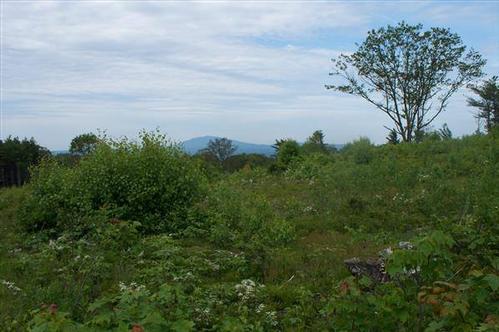
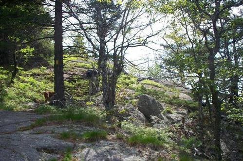
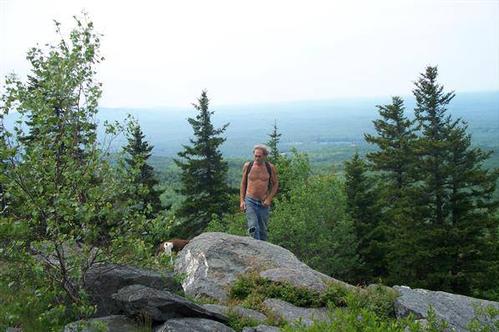
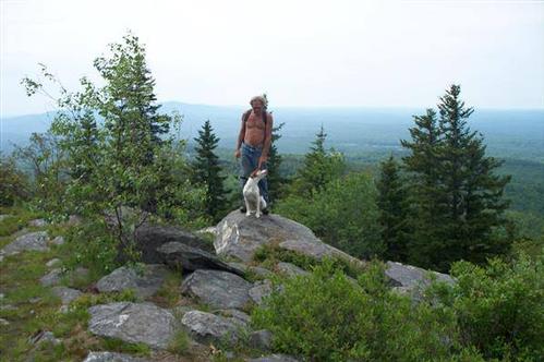
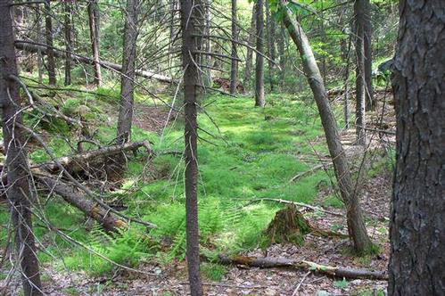
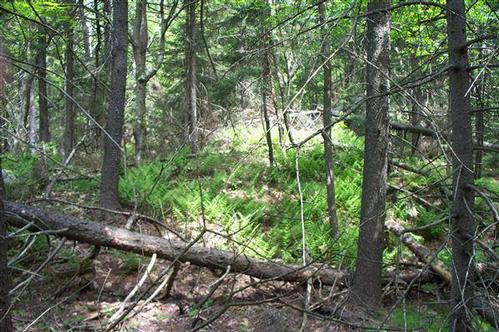
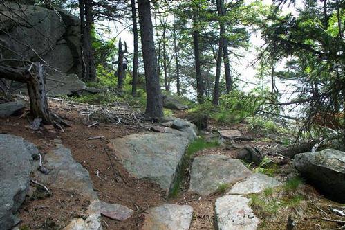
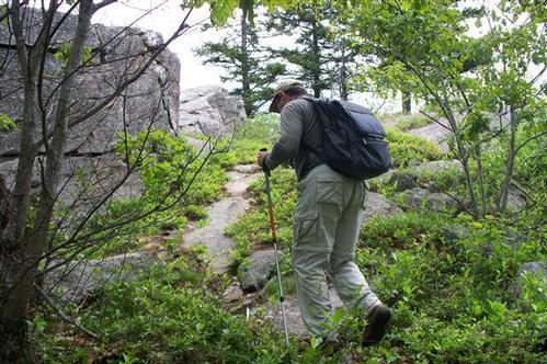
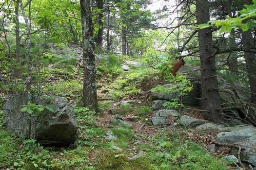
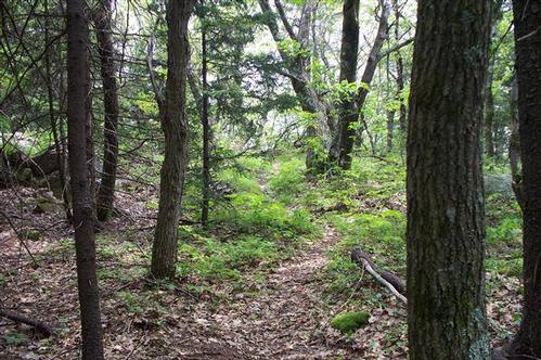
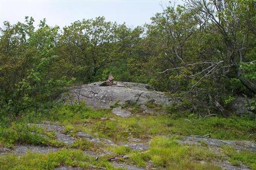
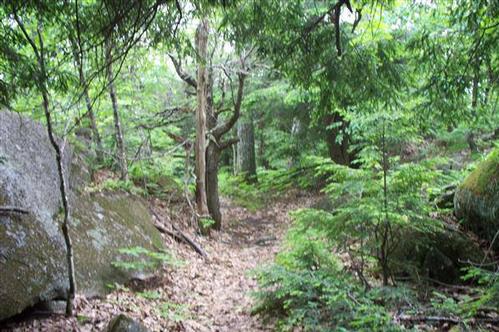
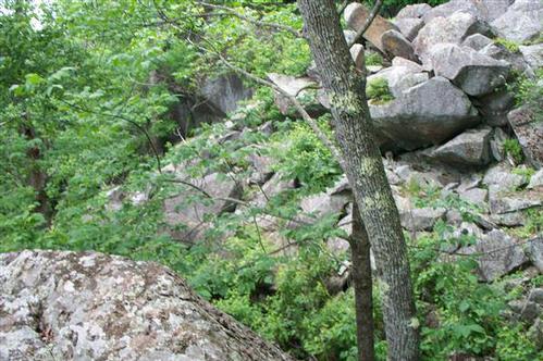
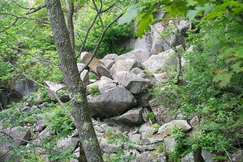
Further up the views continued to impress as there were several clearings along the ridge line that afforded more views of the mountains for longer distances where one could also see what views were on the other side of the mountain. It ended up being a relaxed, intimate hike. As there were ups and downs over several peaks the ascent was spread out through out the hike and broken up making for a pleasant hike.
Event photos (108)
Reactions
👍
❤️
🔥
😄
😮
Log in to react to this trip report.
About this event
This is a dog friendly hike. Although one doesn't need to have a dog to come on this hike one should keep in mind that there will be dogs running around loose off leash on this hike. So if the idea of loose dogs on a hike is not your idea of fun, please do not sign up for this hike.
If you are bringing a dog please note that porcupines have been known to live around the mountain area both in the lower and upper parts of the Mtn.
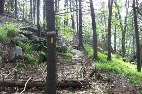
To my mind the almost 360 degrees of numerous Mountain views and the varying scenery makes this hike worth the effort it takes to do it. There are places where there are shorter sections of both steep ascents and descents. Hiking poles could be a big help if you have any.
We will start on the Shannon Trail going almost to the summit of Crotched Mtn.(1.8 miles, elevation gain 800 ft.). Then traverse the ridge line/knobs on the Upper Link Trail and Summit Trail (1.5 miles, elevation gain 250 feet, but most of it is downhill). Descend 0.2 miles on the East Summit Trail and then use the Old Mountain Road and Lower Link Trail to where it runs into the Shannon Trail 1.6 miles, elevation gain 400 ft.). Then descend (0.8) miles on the Shannon Trail to get back to the parking lot.
Trail map copy and paste into your browser: http://www.francestown-nh.gov/Pages/FrancestownNH_ConCom/crotchedmap.pdf
Topo map: http://www.francestown-nh.gov/Pages/FrancestownNH_ConCom/Trails.pdf
If enough people are interested we could go out someplace to grab a bite to eat/drink and socialize afterward.
Who came along (2)
 GUEST MEMBER
Eric.Cohen
Lambertville, NJ
 GUEST MEMBER
goldnwolf
St. Petersburg / Pittsburgh , NH
Comments
After the hike Goldnwolf has invited us over to his house if anyone wants to go. He has a pool, he has a grill if we wanted to do something simple like hamburgers and hot dogs, or have a beer or two. His house is about 7 miles from the trailhead.
After the hike Goldnwolf has invited us over to his house if anyone wants to go. He has a pool, he has a grill if we wanted to do something simple like hamburgers and hot dogs, or have a beer or two. His house is about 7 miles from the trailhead.
Sorry I missed the hike yesterday, totally forgot
about providence gay pride parade last night .
Perfect night for a parade and with all the festivities
Providence had to offer, it turned out to be a late
night. I hope you guys had a nice hike and i hope
to see you soon on the trails.
All the best
Ron
I want to apologize to you and the other member's for making you wait. I sent an e- mail the night before the event but apparently it
wasn't received. Again,I am really sorry ! Ron
Log in to join the conversation.