
Imp Face Hike
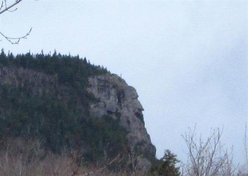
Though New Hampshire’s ‘Old Man of the Mountain’ has crumbled, the ‘Imp Face’ perseveres! This hike leads to a cliff on North Carter Mountain that, from afar, looks much like the face of an impish creature.
The trip report
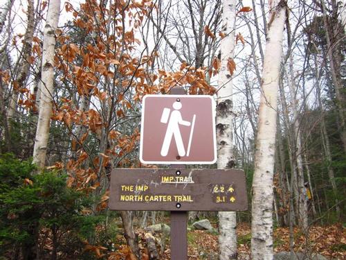
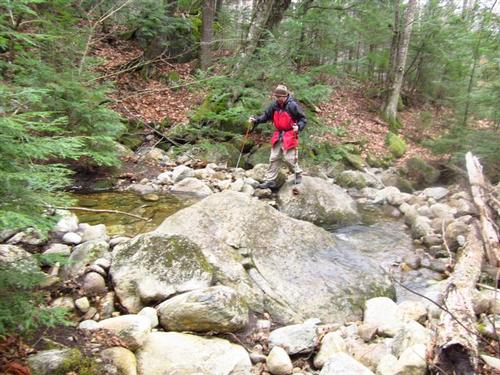
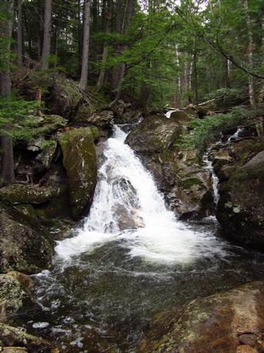
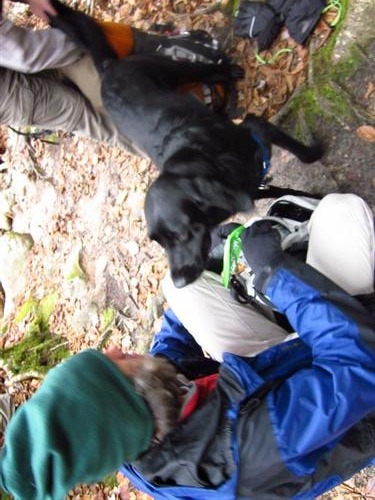
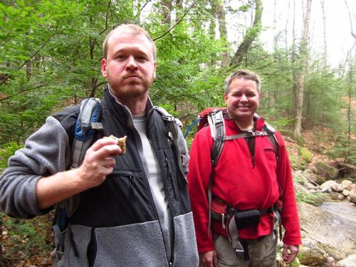
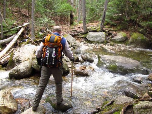
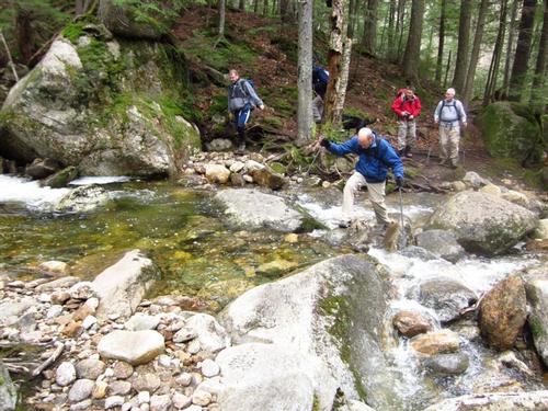
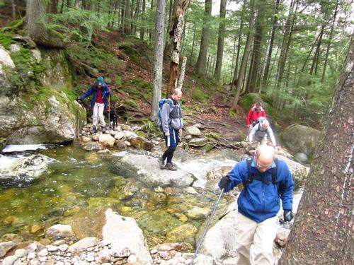
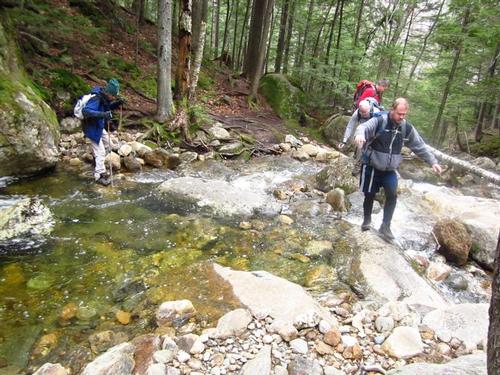
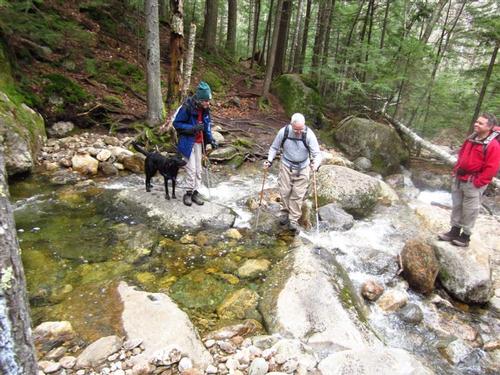
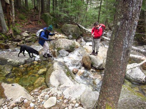
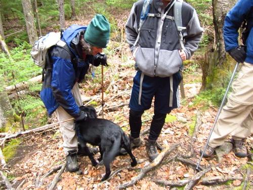
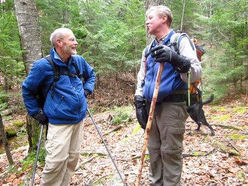
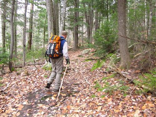
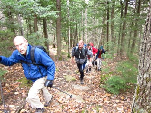
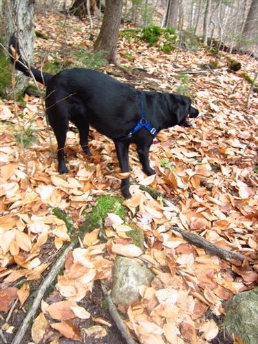
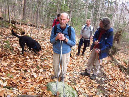
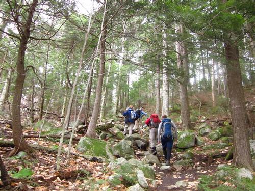
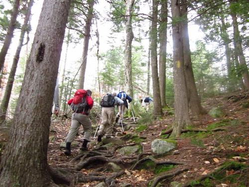
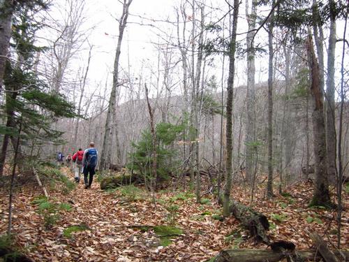
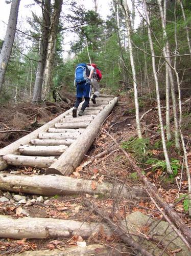
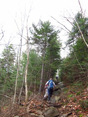
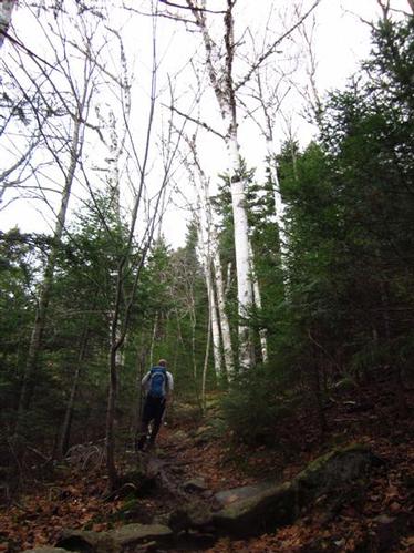
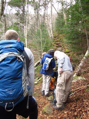
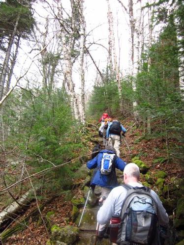
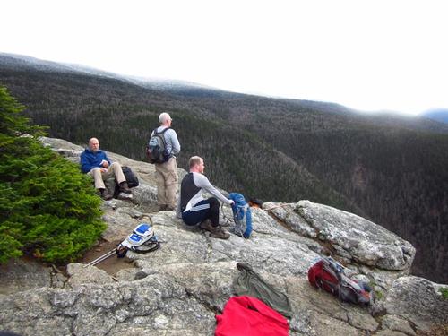
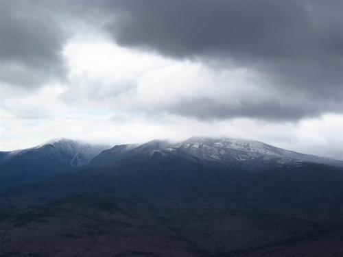
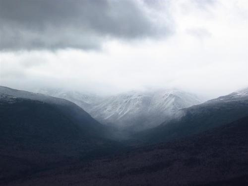
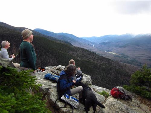
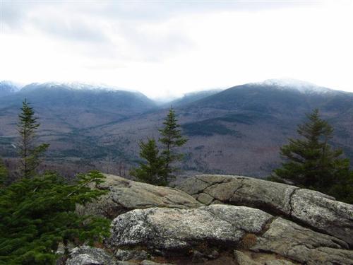
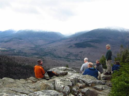
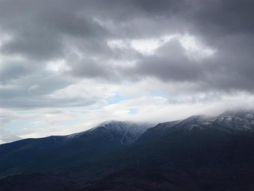
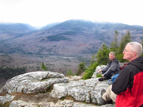
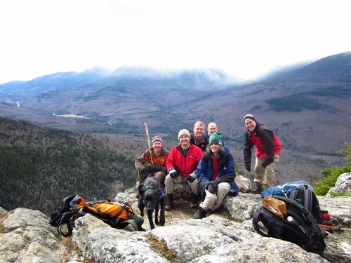
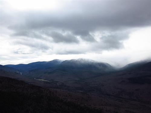
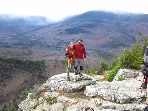
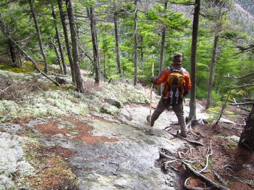
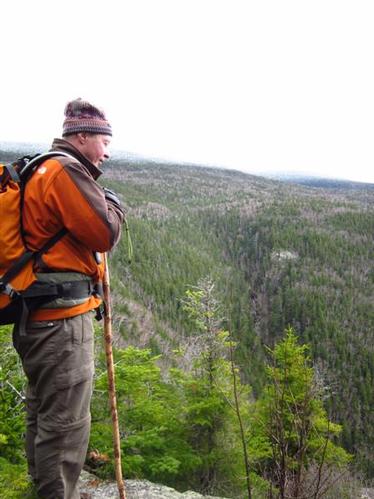
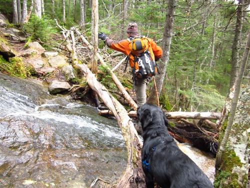
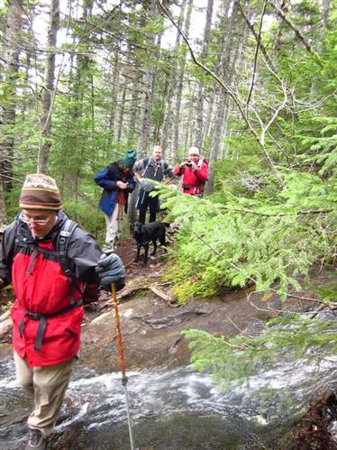
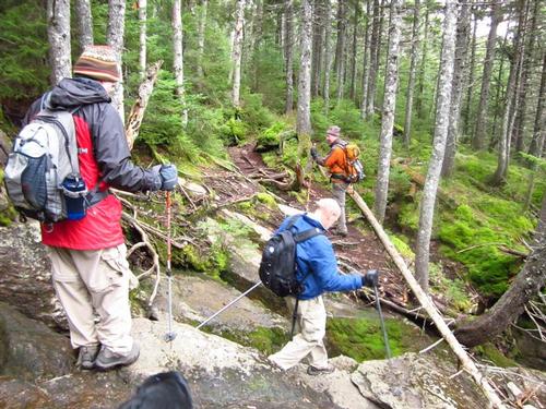
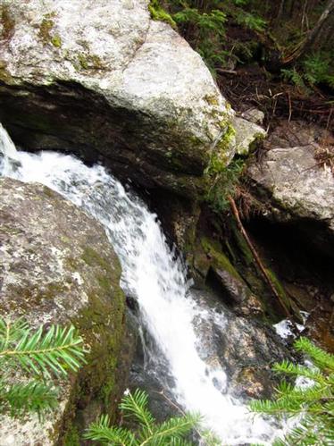
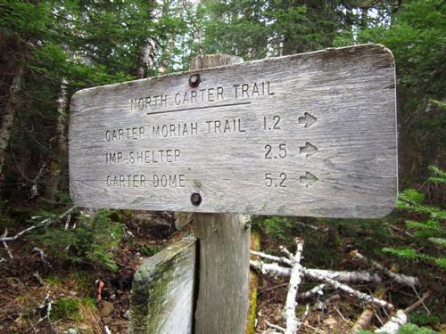
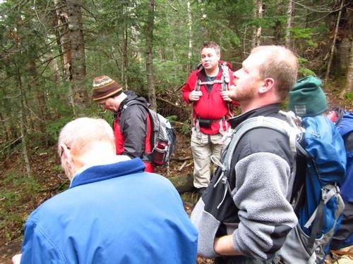
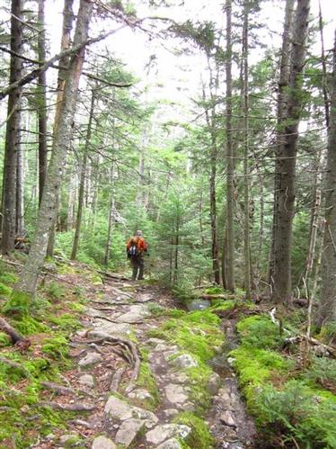
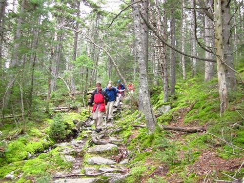
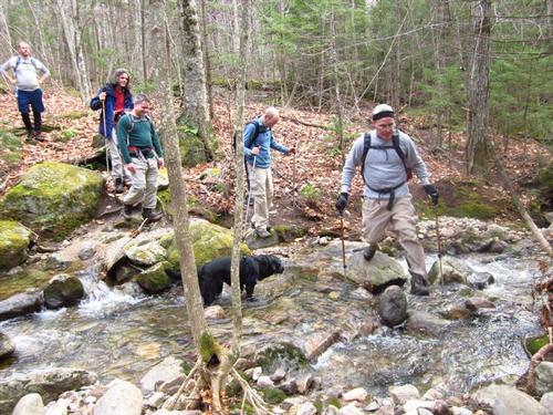
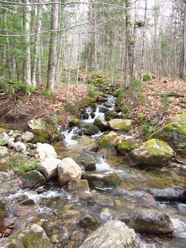
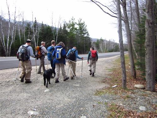
Though New Hampshire’s ‘Old Man of the Mountain’ has crumbled, the ‘Imp Face’ perseveres! This hike leads to a cliff on North Carter Mountain that, from afar, looks much like the face of an impish creature. The Imp Trail is located across from the Dolly Copp Picnic area off Rt. 16, close to Gorham, New Hampshire. After the hike, we got a good view of the Imp Face from the picnic area. There is no designated parking area for the trailhead, but there is plenty of room to pull off the side of the road and park. The Imp Trail is not quite a true loop ~ there are two separate trailheads that are about .2 miles apart on Route 16 so a short road walk connects them together. We parked on the northern trailhead. We took off into the woods to begin our hike. It was not long before we removed a layer. It was just warm enough to not need any heavy clothing ~ nice! It was cloudy and the sun was trying to push through. The fresh autumn air was wonderful! Starting at the northern trailhead, the path follows the Imp Brook, creating an incredible soundtrack for the first section of the hike. As we wound our way through the hemlocks, we caught glimpses of many small waterfalls created by the steep and rocky terrain. After .8 miles, we crossed a tributary of Imp Brook near a pool and beautiful cascade. In 50 more yards, we crossed the Imp Brook, and from here the climb becomes fairly steep and strenuous. The steepest pitch comes early in the final stretch on this assault, as the trail swings back to the right and vigorously climbs to our unmistakable goal. It took us just under two hours to climb the 2.2 miles to the Imp Face. Views were impressive to Mt. Washington and the Northern Presidentials. Spectacular! We spent 30 minutes with our GO buddies here having lunch, refueling and enjoying the view with a light breeze. Afterwards the hike actually begins with an ascent, but quickly tapers off to an easy, flat walk before descending to the second viewpoint. The view isn’t as good. The trail wraps around the headwall rim of the Imp Brook ravine. The trail is gradual but somewhat rough, and crosses several streams. Just .9 miles from the Imp Face, the trail intersects with the North Carter Trail. From there, the trail is a gradual descent, though littered with rocks and stream crossings that make it difficult at times. It took us just under 2.5 hours to reach Route 16 and the southern trailhead. It was a beautiful hike.
Event photos (62)
Reactions
Log in to react to this trip report.
About this event
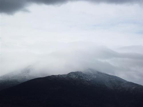
A grandstand view of the snowcapped Presidentials and Mt. Washington, with a sheer dropoff at your feet!
We will be hiking up one of New Hampshire's 52 with a View ~ Imp Face [3165']. We will start our hike at the NORTH Imp Face Trail trailhead on Rte. 16 [a little over a mile past Camp Doge on the right].
We start as a group, hike as a group, and finish as a group. Our pace will be that of the slowest hiker. If you are faster than the group, and don't want to stay with us or want to head off on your own, this isn't the trip for you. Likewise, this trip isn't for you if you are slower than the group and expect us to constantly wait for you or want us to go on without you.
We will take the NORTH Imp Face Trail to Imp Face and continue onward to hookup with the south Imp Face Trail to make this a loop. We will then walk Rte. 16 a bit to return back to our cars.
We will hike about 6.5 miles and climb a total of 1,900 feet [for perspective the top floor of the Empire State Building is about 1,250 feet]. We will have lunch on the top of Imp Face and enjoy the views.
I did all my research for this trip using the Appalachian Mountain Club's White Mountain Guide, a trail map, and the Internet. You should become self-reliant by becoming familiar with the route, terrain, and potential hazards since you are ultimately responsible for your own safety. We could alter our plans because of fatigue, weather, and/or other conditions and there is no guarantee that we will complete the entire trip as described here [e.g., we might not reach the summit].
Weather
Mountain weather is subject to rapid changes and extreme conditions. The higher we climb the colder, windier, and wetter it will be ~ we will need to be prepared. Remember, on average it gets 3-4 degrees [Farenheit] colder for every 1,000 feet of elevation gain.
Dangerous weather conditions will cancel ~ We will post and and/or sent an email to all confirmed participants a day or two before this trip. We will assess travel and weather conditions during the hike and make changes to our planned trip as necessary.
>>Click Here For The Current Forecast For This Trip
Clothing, Gear, Equipment, and Supplies
Below is a list describing the minimum required items to participate in this trip. Hiking safely is about being prepared so that you can respond to an emergency situation.
DO NOT rely on others to have extra items to share with you at the trailhead or out on the trail. You should know how to use all of your equipment ~ test and adjust it prior to the trip.
* Footwear: Waterproof/insulated hiking boots with synthetic or wool socks.
* Clothing: Dress in synthetics, fleece, and/or wool layers to easily regulate body temperature. Make sure your layers fit comfortably over each other. DO NOT WEAR COTTON ~ while cotton is a great insulator when it is dry, once wet it doesn't dry easily and conducts heat away from the body.
* Outerwear: Insulated jacket [e.g. fleece]. Windproof/waterproof shell [with hood] and pants [e.g. nylon or gore-tex]. Make sure your outerwear fits comfortably over all of your clothing. Fleece/wool hat, neck warmer, and gloves.
* Food and Water: Bring high-energy snacks, food for lunch [pack extra food "just in case"]. Bring enough water to stay properly hydrated during the trip ~ it's time to switch from a hydration pack [e.g. Camelback] to insulaled wide-mouth water bottles [e.g. Nalgene] because the hose tends to freeze.
* Other Essential Gear: Map and Compass [don't just bring them; know how to use them]. Plastic whistle. Headlamp with spare batteries. Personal first aid kit with an emergency space blanket. Small pocket knife or multi-purpose tool. Matches or wind-proof lighter and firestarter. Toilet kit [e.g. hand sanitizer, toilet paper]. Line the inside of your pack with a plastic garbage bag to keep your items dry.
* Optional Items: trekking poles, hiking stick, camera.
After The Hike: Everyone is welcome back at our house in Waterville Valley to socialize around the fireplace and enjoy a home cooked meal with dessert! It's BYOB and it costs $5 per person.
Lodging Option: We have 8 bunks available at our house near Waterville Valley, NH for Friday and Saturday night for $20 per night. Coffee/bagels each morning and linen/blankets/towels are provided. We have limited space in the fridge to store your beverages/food so it's best to bring a small cooler. Space is limited so email us ASAP to reserve a bunk!

Comments
Log in to join the conversation.