
Gore Mountain Hike
A beautiful hike to North Creek Reservoir and the Gore Mountain Summit.
The trip report
On Sunday, September 10th, I arrived at the trailhead off of Ski Bowl Road in North Creek (near the swimming area) just before 11AM. I had just completed the hike up Wakely Mountain that morning and was doubleheading that hike with this one, which was originally to be done the day before, but lack of interest and strong overnight storms had allowed me the ability to jungle these into a single day.
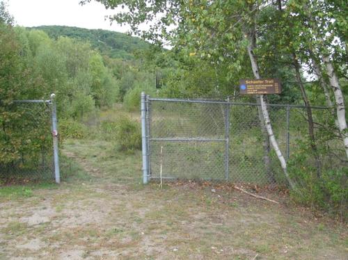
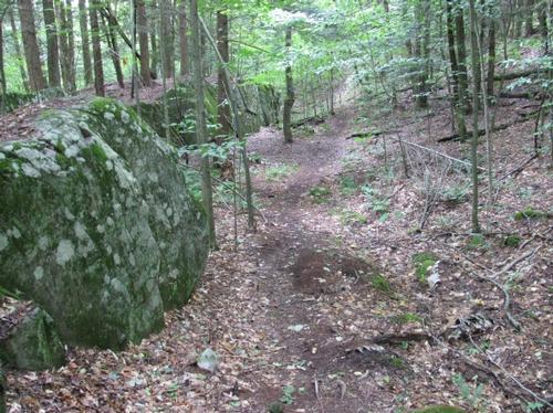
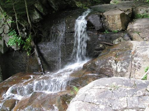
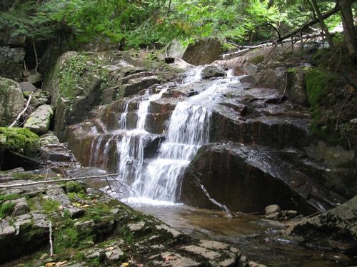
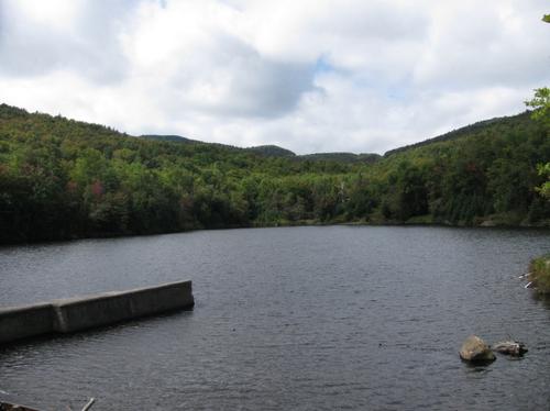
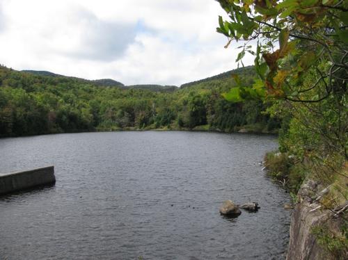
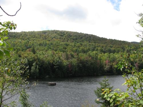
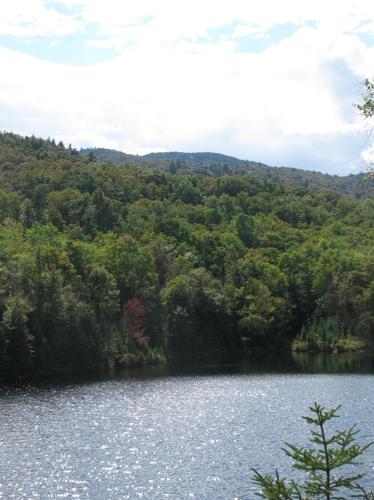
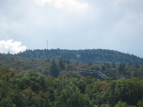
From the parking lot the trail headed up the hill and crossed the road just before the recycling/transfer station for North Creek. It passed through an opening in a fence, where the trail register stood. From here the trail proceeded into the woods for a nice relatively easy woods walk. After about a mile the trail coincided with the rim of a fairly deep gorge and eventually met up with the Roaring Brook. The brook was pretty as it cascaded over many rocky ledges. The trail also slightly steepened in grade. At a couple of points along this portion of the trail, it crossed ski trails as it continued up to the North Creek Reservoir. I made it to the reservoir by about noon and decided to have my lunch on the open ledges, which are near the spillway. There were views of Gore's summit and tower from here and it made for a beautiful spot to relax for a bit.
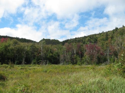
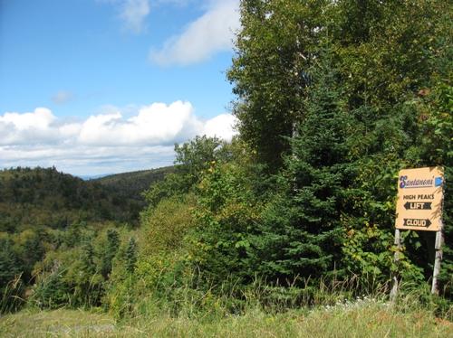
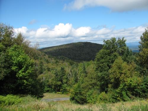
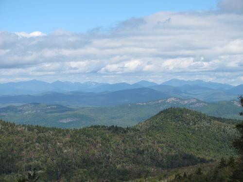
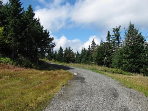
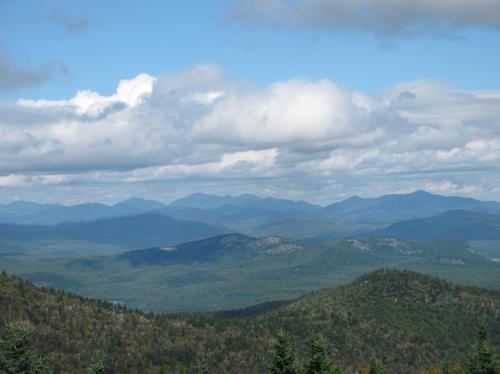
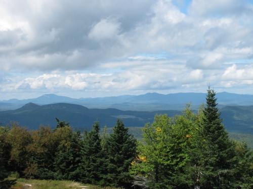
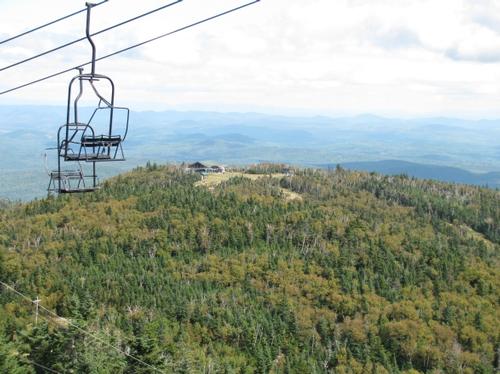
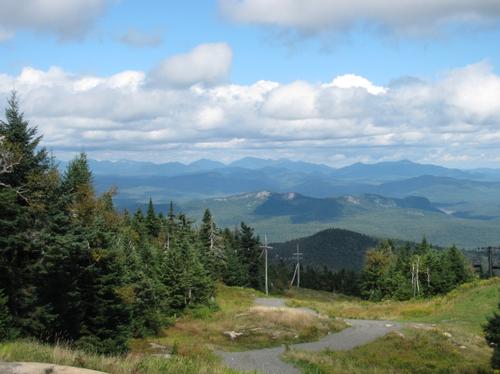
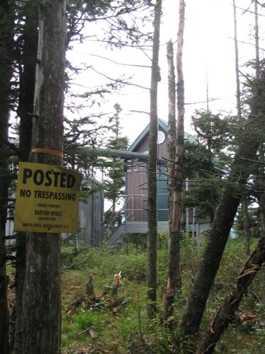
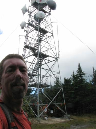
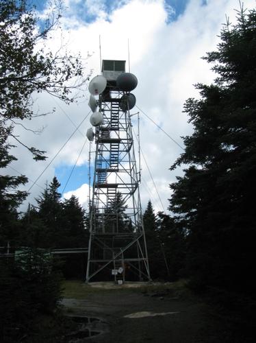
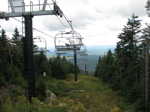
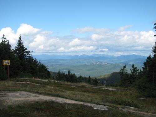
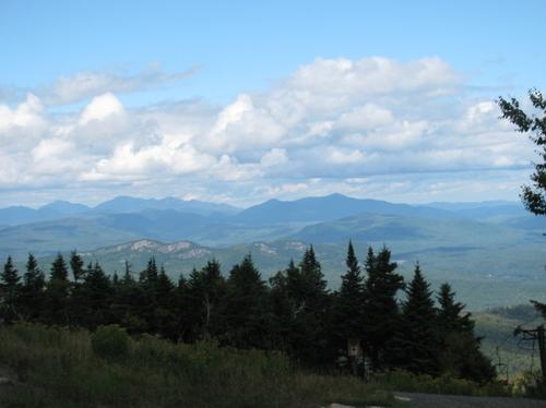
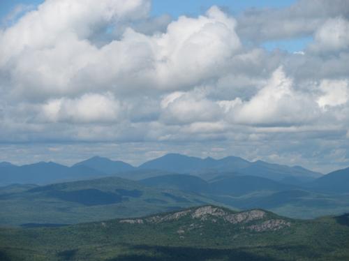
Continuing on after lunch, I quickly came to a trail junction, which led back to the other side of the Ski Bowl and to the summit. The trail moderately climbed crossing again a clearing used by the ski resort (power lines) and finally after another 1.8 miles came to a clearing referred to as Ive's Dam. I assumed there was a beaver dam in here, but it was mostly dry. From this point the trail significantly steepened pretty much consistently to the point where the trail emerged onto service roads/ski trails. There were a number of open views, mostly to the north (High Peaks) from these roads. The roads and ski trails were still somewhat steep as I ascended over gravel which made up these paths. There were also garnets mixed in with the gravel bed and I picked up several nice gem pieces as well as some crude gem/rock (there's a garnet mine on the backside of the mountain). As I proceeded up the mountain the open views became better and better, culminating with the iconic view from the top of the Cloud Trail. It wasn't far from this point where the fire tower was located. Unfortunately, it was now used for other purposes (law enforcement and communications), so it was not open to climb. It was now 1:30 and I continued along the summit to see if there were additional views. After a short distance I came across the boundary for the Barton Mines, where signs stated "No trespassing". So I headed back to the tower and checked out the ski structures and lifts and their associated views. From the Straight Brook Quad there were nice views to the east...presummably to the Lake George area. I started back using the same route and made it back to car by just before 4PM. It had become increasingly overcast and have even sprinkled briefly just before leaving the woods (I only felt a couple of drops though). I got settled, got a snack in North Creek and called it a day!
Anyway, Gore Mountain provided a much better hike than I had imagined. The views of the High Peaks were very nice, even though they were from ski trails and maintanence roads. The re-routing of the trail around the reservoir made for another interesting part of the trip (the trail originally didn't go out to this body of water and missed alot of the Roaring Brook).
Event photos (26)

Reactions
Log in to react to this trip report.
About this event
Join me for this 9.4 mile hike to the summit of Gore Mountain (3563'). Along the way there are moderate cascading waterfalls and we'll pass the picturesque North Creek Reservoir. There are views of the ski area and to the High Peaks to the North along the way. The fire tower on top is closed, but there are views to the north and east from a portion of the summit. Some of this hike is along maintenance road and open ski trails. The elevation gain is approximately 2500 feet.
Rain or harsh weather will postpone to another date or cancel, as appropriate.
What to Bring: Typical summer hiking gear should be appropriate: shorts or convertible hiking pants, good sturdy hiking boots with thick socks and a windbreaker/raingear. Your boots should have good traction. Also bring along lunch, snacks and plenty of water (at least 2-L). Optionally, pack bug repellent and sunscreen and anything else that you may require for a day hike.
Afterwards: If there is sufficient interest, we will have drinks and/or dinner down the road in North Creek.
Camping Option: I will be camping on Saturday. If anyone is interested in joining me, please contact me or leave a comment when signing up and I will contact you.
Who came along (1)
 GUEST MEMBER
Comments
No comments yet.
Log in to join the conversation.