
Mt. Cabot Snowshoe
This was a nice trip and I hope to hike with many of the same people in future winter trips.
The trip report
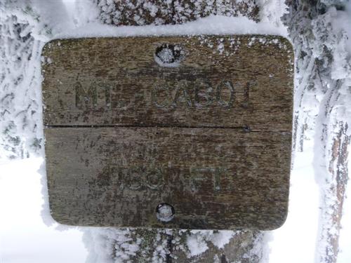
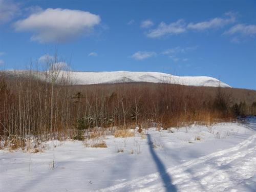
We went up to Mount Cabot (4,170 ft), which is the northernmost peak on the White Mountain 4,000 footer list. Situated in the Kilkenny Range, Cabot is about a 4 hour drive north from Boston and an hour north from Pinkham Notch and Mt Washington.
This was my seventh time climbing the peak, and the second time in wintry conditions. My previous was on New Year's Day a few years ago when Jon finished his 4,000 footers. I also finished on Mt. Cabot but a few years earlier.
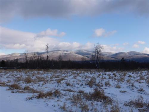
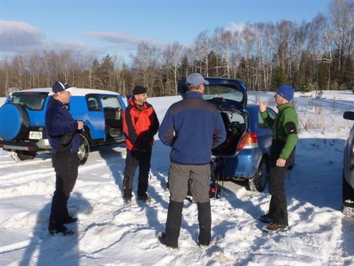
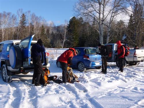
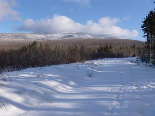
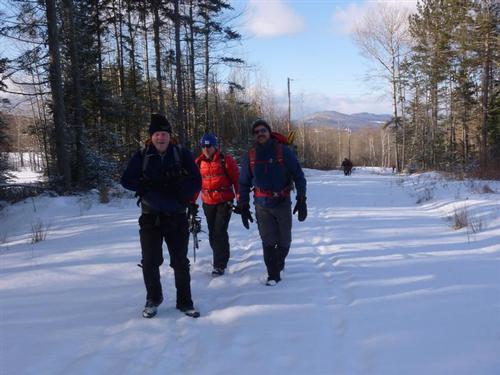
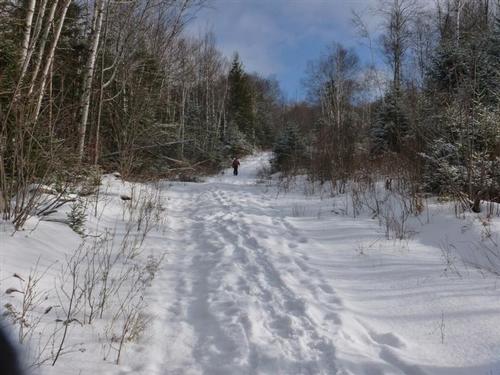
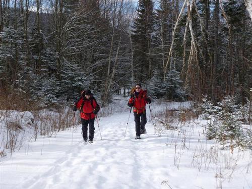
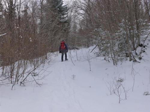
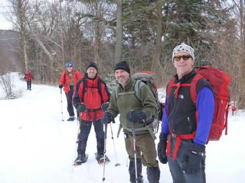
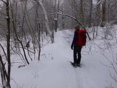
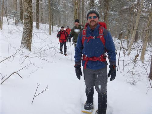
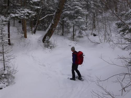
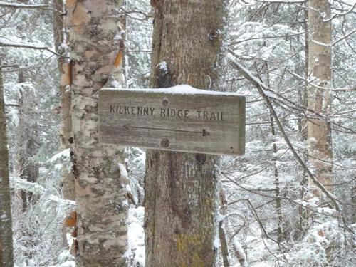
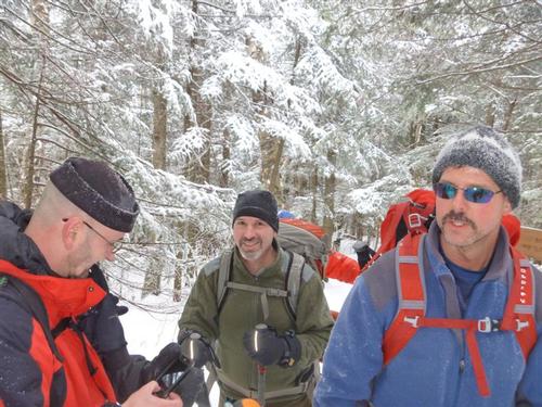
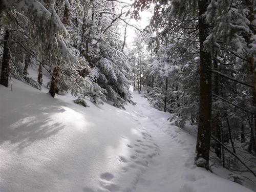
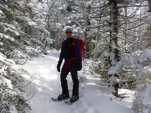
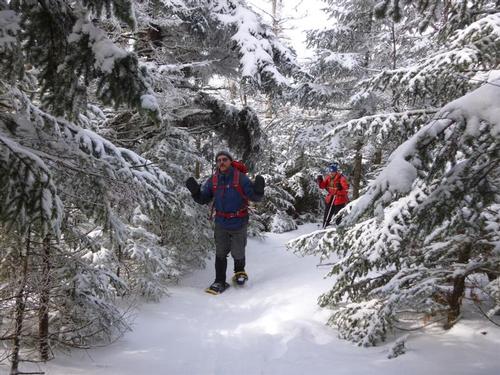
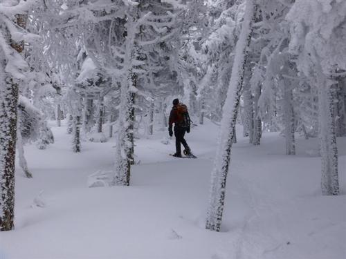
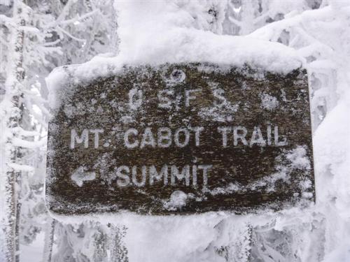
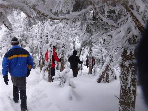
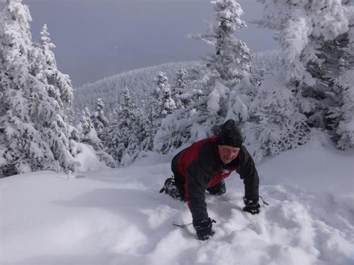
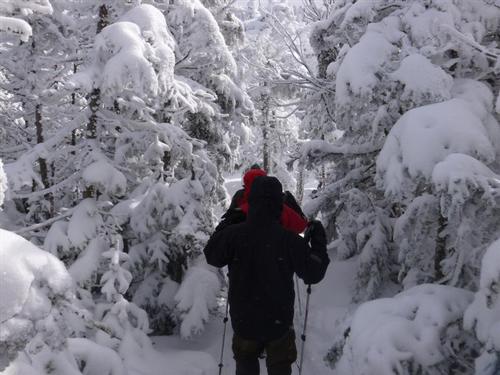
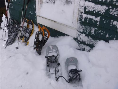
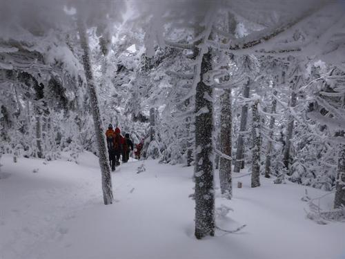
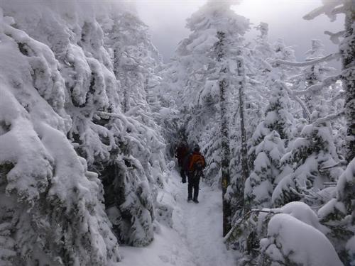
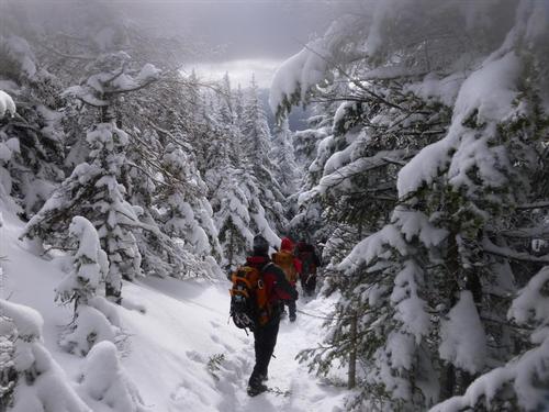
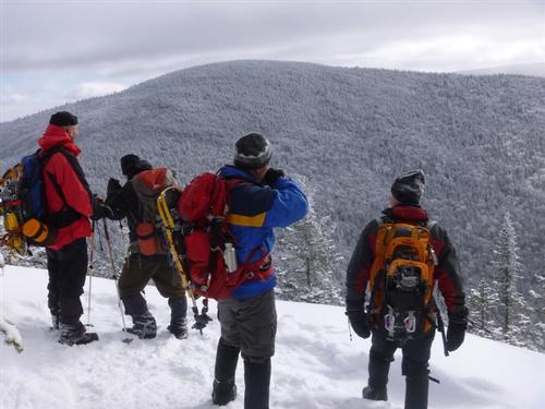
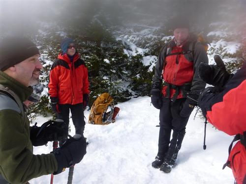
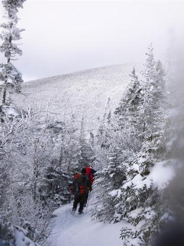
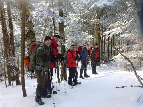
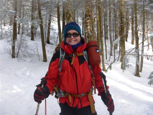
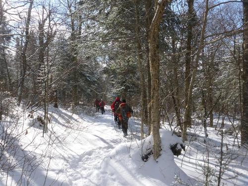
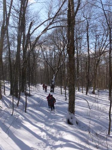
There were 7 GO members overall on this hike. The pace was good for going up and coming down.This hike was 8 miles with 2,700 feet of elevation gain. It took us about 5 1/2 hours round trip, hiking though 2-3 inches of snow on top of a hard packed trail. We parked our cars in the parking area before Heath's Gate. The scenery to the back was top notch. It felt similar to the beginning of the Iron Mountain Trail in Jackson, NH. The first part of the trail was basically a road through various fields and logging cuts that we barebooted. After passing straight through a four-way intersection, the snow got deeper so we put on our snowshoes. The trail gradually dipped into the woods. Beyond the frozen Bunnell Brook crossing, the pitch started to pick up climbing gradually to the Kilkenny Ridge Trail Junction. From here, we turned north and started to climb the Cabot summit following a series of steep switchbacks up to the summit ridge.
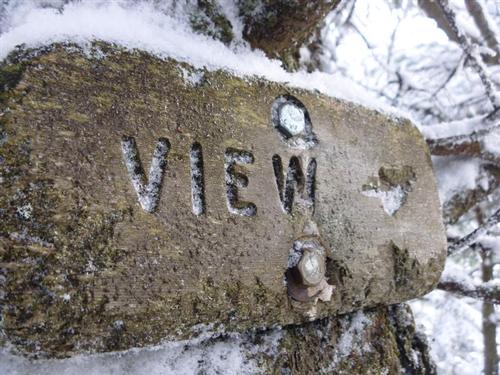
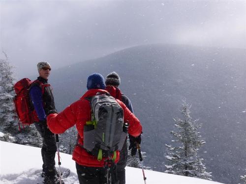
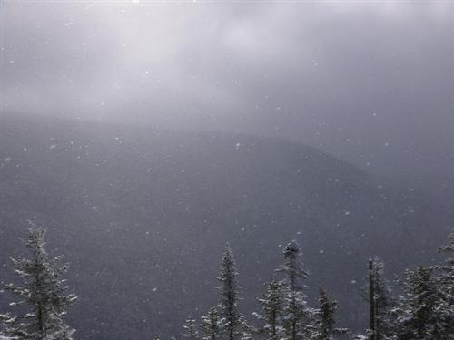
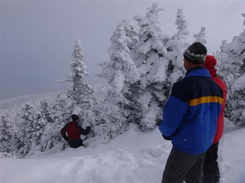
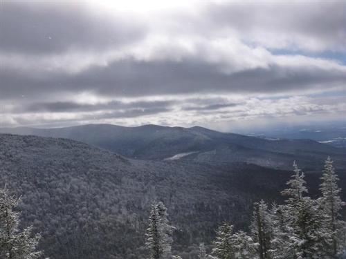
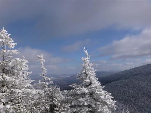
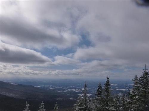
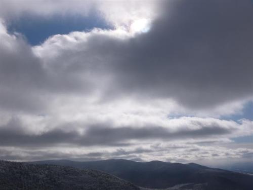
We went to check out the view at Bunnell Rock and the highlight was the lightly falling snow sparkling from the sunlight.
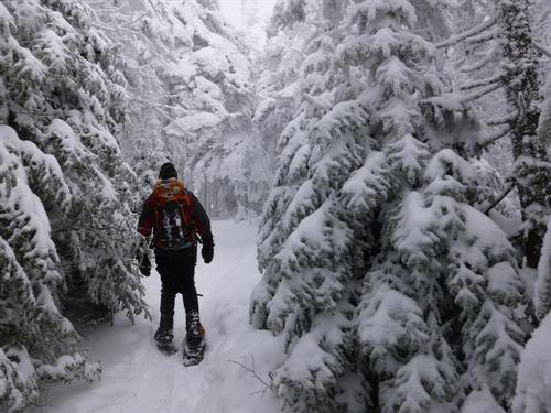
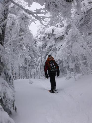
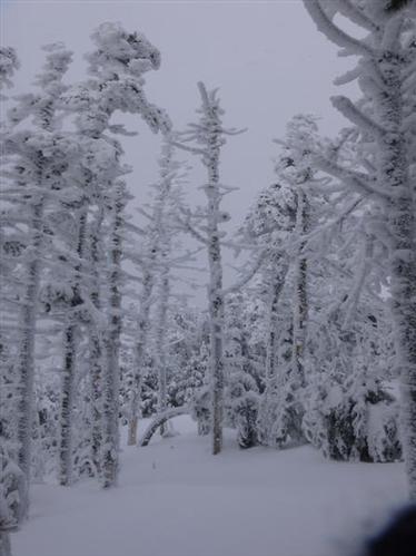
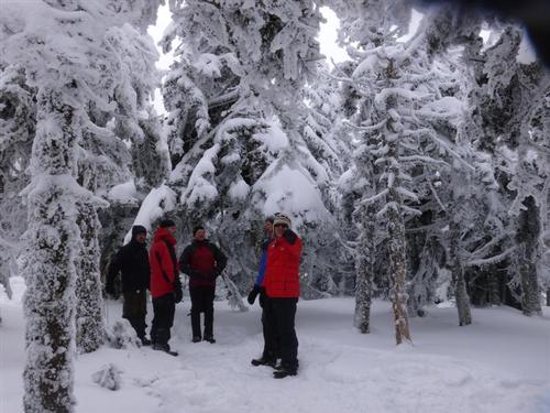
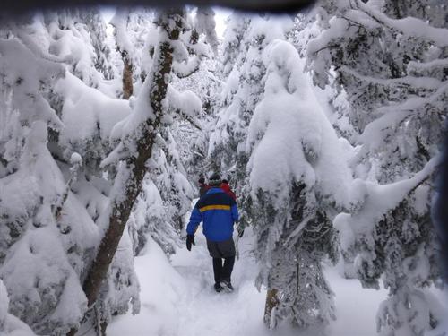
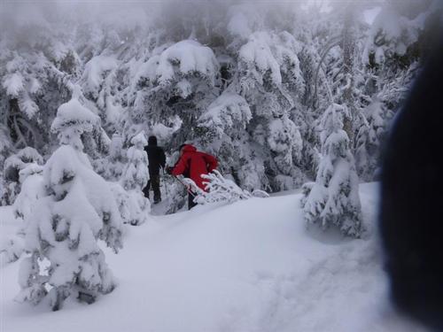
The wind picked up noticeably on the ascent and the temperature dropped, although we were fairly well protected by snow loaded trees.
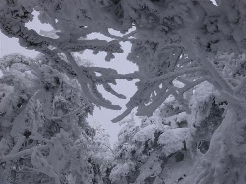
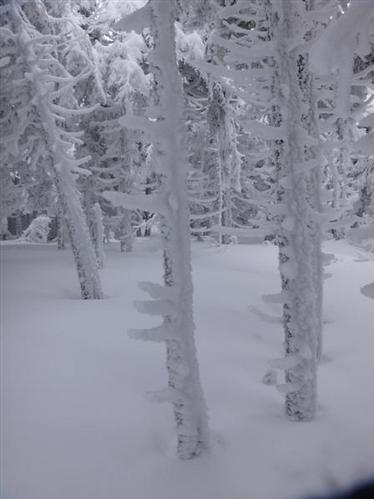
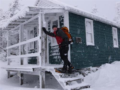
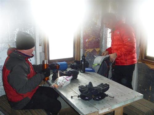
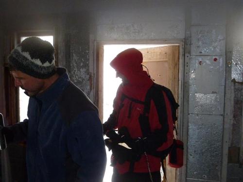
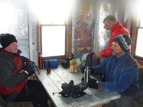
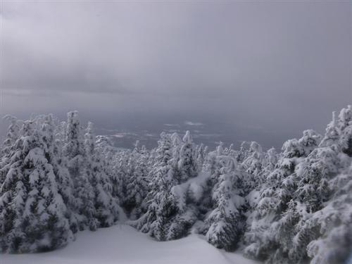
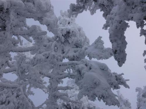
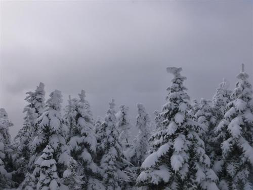
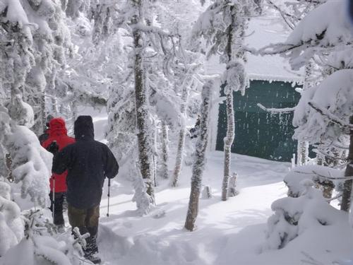
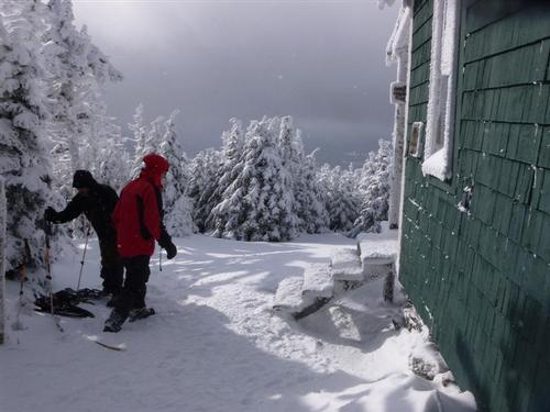
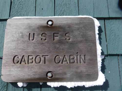
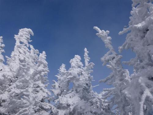
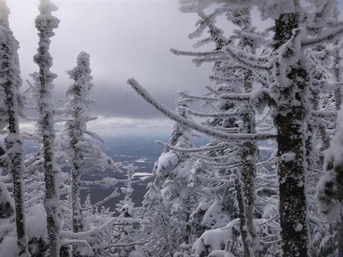
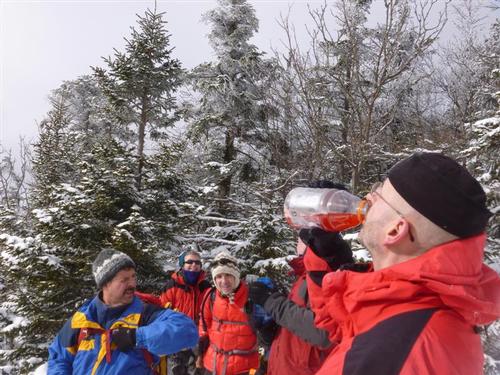
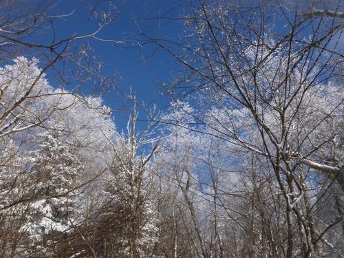
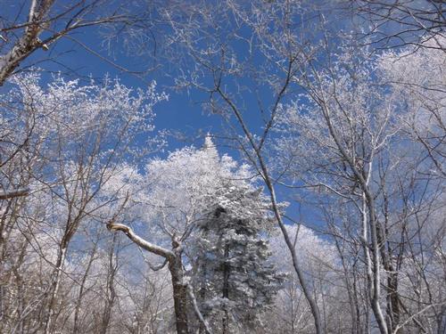
We arrived at the cabin at about 11:45 (after a 9 am start) for lunch. The trees were so beautiful around the cabin. It felt like a snow gun went off and coated all the trees.The Cabot Cabin warmed up nicely with seven guys inside, as we got down to the business of chowing down sandwiches, GORP, cookies and many other winter delicacies.
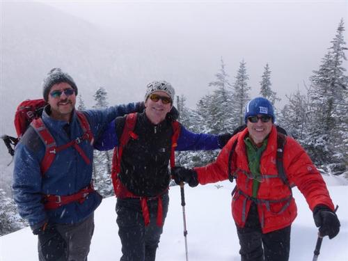
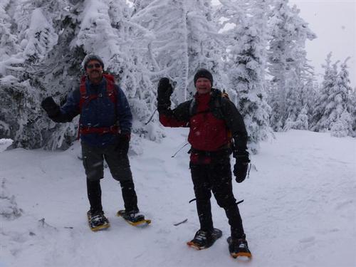
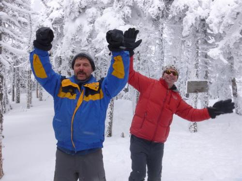
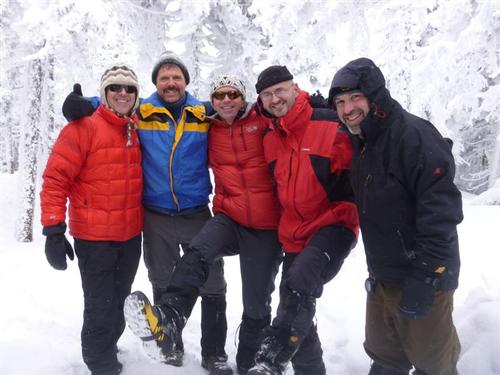
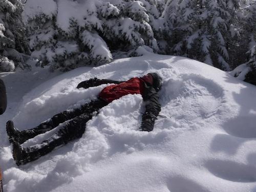
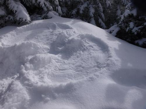
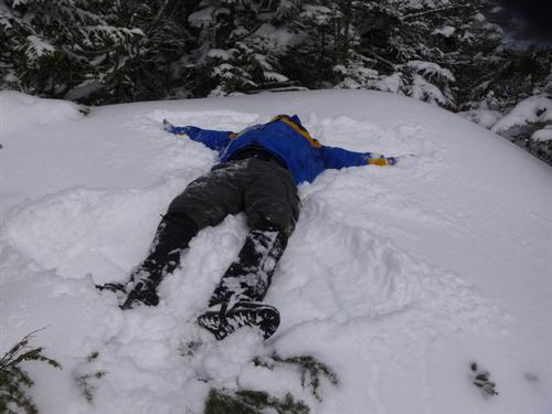
After lunch we dropped off our gear and hoofed it to the true summit .4 miles farther along the trail. After Kevin/Jon did a celebratory jig on the summit and we took a group pic, we about faced it and returned to the cabin for the walk out. Along the way I make a snow angel and Kevin did the same at Bunnell Rock.
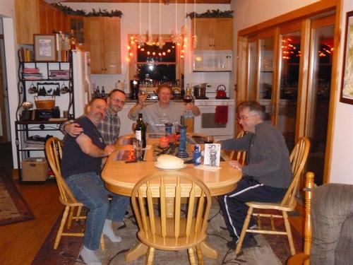
Once down, we bit our goodbyes to Kevin and Gary who wanted to visit Storyland in Glen to scout a possible GO trip in the future [just kidding but it does sound interesting!]. The rest of us went back to my house where we celebrated Rick's birthday with his favorite meal [spaghetti] and a delicious lemon/raspberry jello cake that Jon made!
This was a nice trip and I hope to hike with many of the same people in future winter trips.
~ Mike Boisvert
Event photos (75)
Reactions
Log in to react to this trip report.
About this event
A western approach to this 4,000 footer with good views from the cabin and old firetower site.
Over three hours from Boston, we'll be climbing up the most northern 4,000 footer.
Mt. Cabot has a nice cabin to protect ourselves from the elements while having lunch and taking in the lovely views.
Terrain: The first 2.2 miles is an easy, graded terrain. Afterwards the crux of the climb begins with a fairly steep and unforgiving climb. Since we will begin using an 'unofficial' trail we are quite certain we'll be breaking trail. Everyone is required to have snowshoes. You can reserve and rent snowshoes from your local outdoor outfitter such as REI, EMS, or from Ski Fanatics off Exit 28 on I-93.
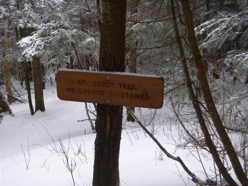
Trail: This is an up and back hike using an unofficial trail [former Mt. Cabot Trail] that starts off with following an old logging road for 2.2 miles. After we cross Bunnell Brook, we'll then reach the 'official' Mt. Cabot Trail that takes us to the Kilkenny Ridge Trail leading us to the summit. Along the ascent we'll check out Bunnell Rock, a ledge at the cliff-top that offers an excellent vista to the south ~ probably the best view on the trail.
Time/Distance: Hike time is approximately 7 hours. Round trip distance is 8 miles with 2,700 ft. elevation gain. We will take our time to enjoy the views, eat lunch, take pictures and have fun!
Gear List: Be sure to bring appropriate winter gear such as winter insulated boots, traction (micropikes, crampons, etc.), snowshoes (we have some to borrow so let us know), warm clothing (no cotton and blue jeans), water, lunch and snacks, etc.
After The Hike: Everyone is welcome back at our house in Waterville Valley to socialize around the fireplace and enjoy a home cooked meal with dessert! It's BYOB and it costs $5 per person.
Lodging Option: Bunk beds are available at my house near Waterville Valley, NH for Friday and/or Saturday night for $20 per night. Coffee/bagels each morning and linen/blankets/towels are provided. We have limited space in the fridge to store your beverages/food so it's best to bring a small cooler. Space is limited so email me ASAP to reserve a bunk!
Carpooling: Contact other guys living near you for carpooling. If you are driving up I-93, meet Jon and I off the Exit 28 ramp at the Post Office parking lot for 7:45 A.M.
Who came along (2)
 SUSTAINING
  SUSTAINING
Comments
Log in to join the conversation.