
GetFit Hike #3: Mt. Shaw
It ended up being a very fun hike! Knowing there are some additional well marked trails up Mt. Shaw now, we'll probably check those out at a later time.
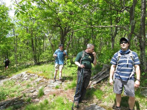
The trip report
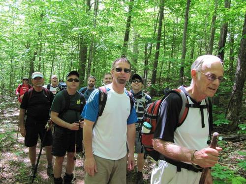
For our last GetFit Hike in the Ossipee Range, we set out to climb the highest peak in the Lakes Region.
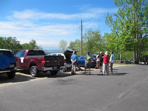
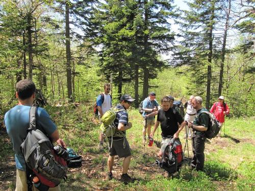
We met at the back gate to Castle in the Clouds, near the water bottling plant.
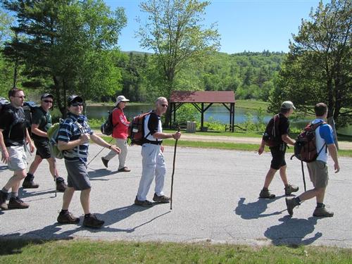
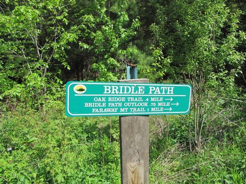
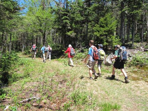
The first leg was to take the Lower Bridle Path, which was a gradual ascent on a grassy and muddy old dirt road [we missed the trail being diverted right into the woods to bypass the very muddy sections on the ascent].
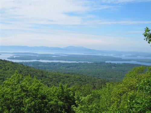
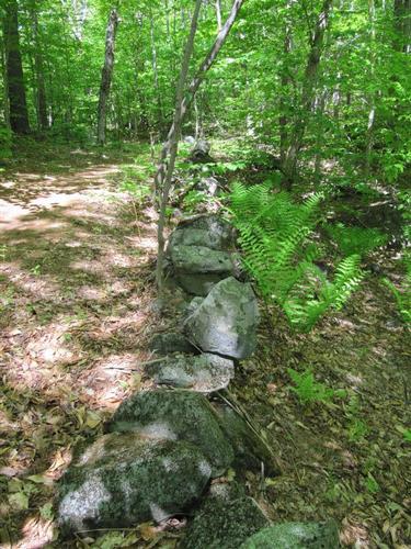
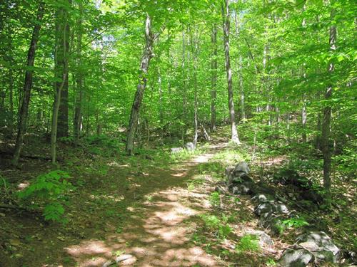
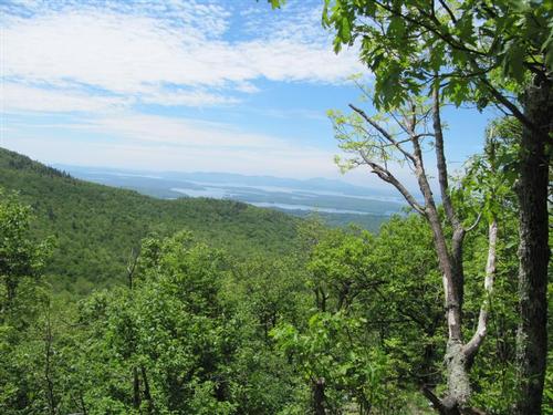
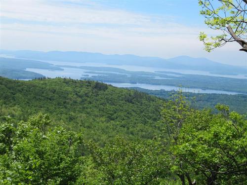
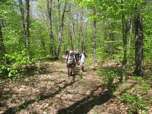
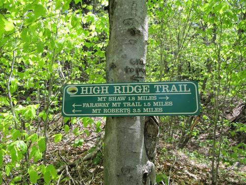
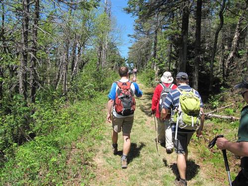
Soon, we reached a spur path that would bring us to a viewpoint of Lake Winnipesauke [where we interrupted a naked couple who were 'going at it' at this lovely spot]. We used some various other trails to continue our ascent eventually reaching the Upper Bridle Path that weaved us through the forest and stone walls. It led us to a ledge with an excellent view of Lake Winnipesauke. After meeting up with the white-blazed Oak Ridge Cutoff trail we found the High Ridge Trail that was 1.8 miles away from Mt. Shaw.
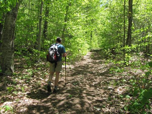
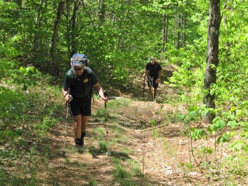
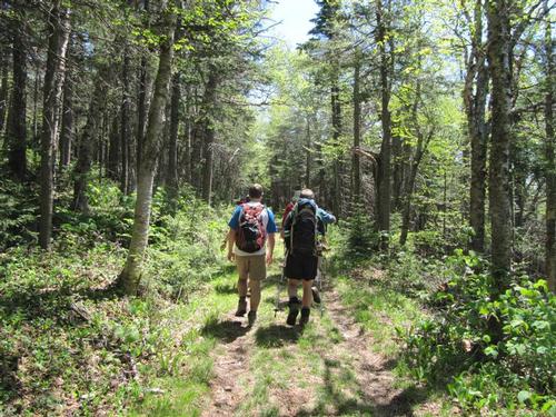
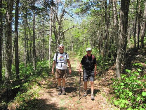
From here, the trail follows an old carriage road. After hiking relatively flat for a while, the trail meets up with Black Snout Connector Trail, another old carriage road. We took a left here and continued our ascent following the High Ridge Trail.
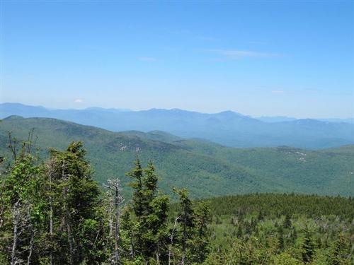
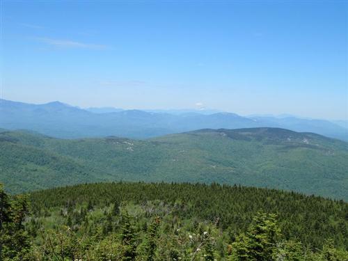
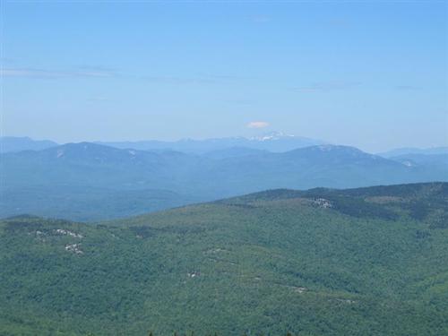
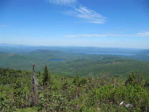
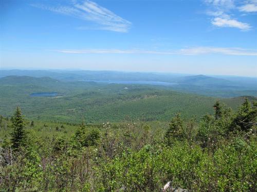
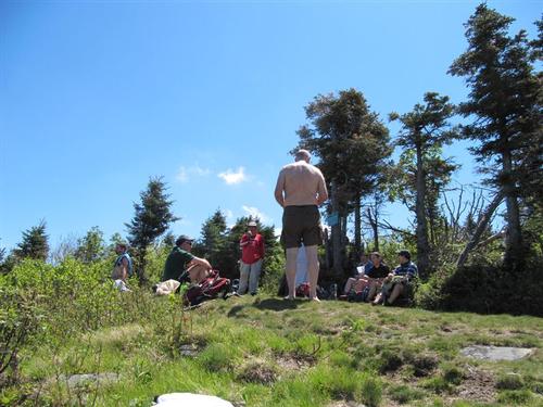
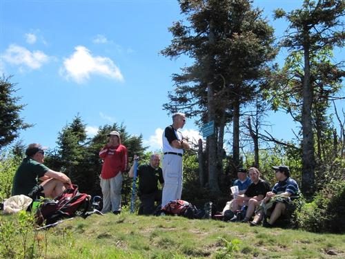
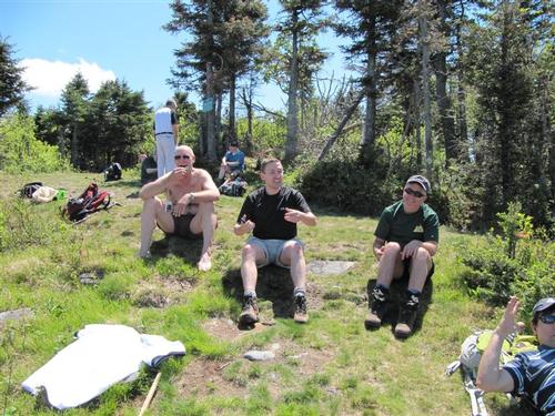
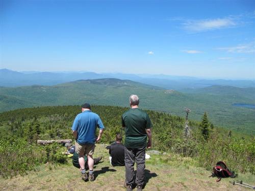
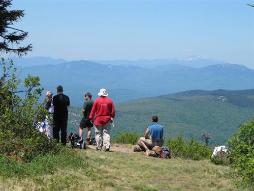
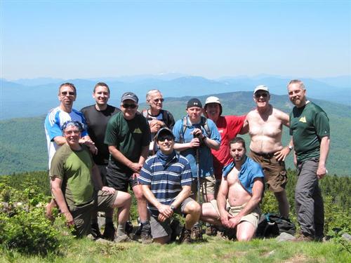
The views from Mt. Shaw were tremendous ~ from Moosilauke to the Carter Range, the White Mountains are on full display. We soaked in the sunshine and had lunch here.
It ended up being a very fun hike! Knowing there are some additional well marked trails up Mt. Shaw now, we'll probably check those out at a later time.
Event photos (33)
Reactions
Log in to react to this trip report.
About this event
If you're looking for a moderate mountain-climbing hike, then this hike to Mt. Shaw with spectacular views from the Lakes Region tallest peak may be just what you had in mind.
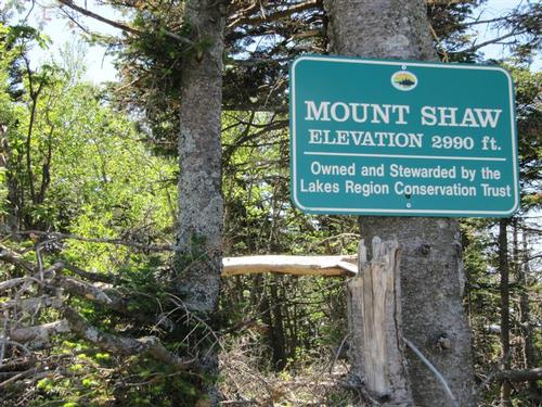
It's elevation is 2,990 feet. Mount Shaw is the highest point of the Ossipee Mountains, a volcanic ring dike lying between Ossipee, Squam, and Winnipesaukee Lakes. Much of the W flank of the mountain is covered with carriage roads of the former Plant estate, better known as Castle in the Clouds and now owned by the Lakes Region Conservation Trust.
This is a great hike that will let us explore a number of the Lakes Region's Conservation Trust trails, views of Lake Ossipee, and surrounding mountains. We also like it because the length of this hike at 9.5 miles will test the endurance of our GetFit hikers. However the total elevation is moderate at 1,450'.
Carpooling: Contact other members to carpool, share the conversation and travel expenses.
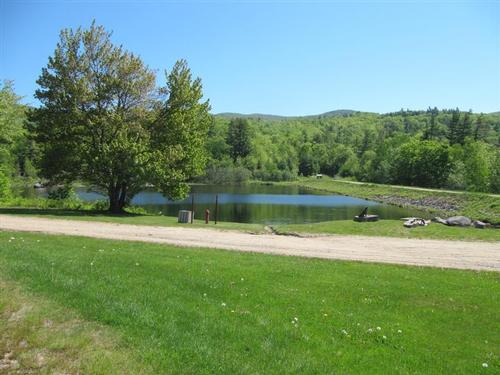
We'll first follow the Lower Bridle Path [green blazes], which begins to the left just behind the Shannon Pond Kiosk, to the Faraway Mountain Trail [orange blazes]. We'll take a short "detour" to a lookout called Bridal Path Peak which offers nice views of the northern end of Lake Winnesaukee. We'll turn left and head north until we reach the junction with the Upper Bridle Path [green blazes]. We'll turn right and follow this trail to the Oak Ridge Cutoff [white blazes]. We'll eventually reach the blue-blazed High Ridge Trail to the summit of Mt. Shaw. We'll follow the same trails downs about 3/4 of the way back and then hook up with the Oak Ridge Lookout to appreciate the scenic overview over Lake Winnipesaukee that we enjoyed on the First GetFit hike.
After the hike: We'll have a casual meal lakeside at "The Docks" outdoors along the shore of Lake Winnipesauke in Meredith.
Event Coordinators: Mike Boisvert and Jon Normand
Who came along (4)
 SUSTAINING
  SUSTAINING
  GUEST MEMBER
  GUEST MEMBER
Comments
No comments yet.
Log in to join the conversation.