
Mt. Bread Loaf and Wilson Hike
A nice fall day hiking across the non-descript peaks of Mt. Bread Loaf and Wilson.
The trip report
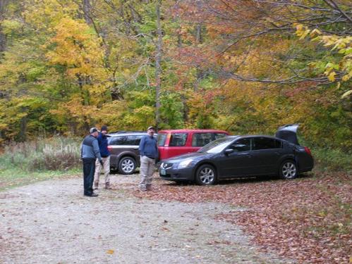
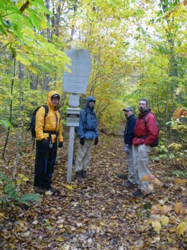
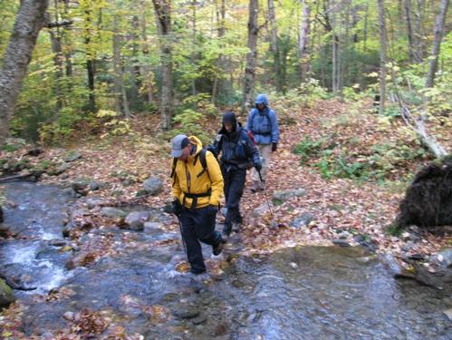
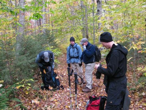
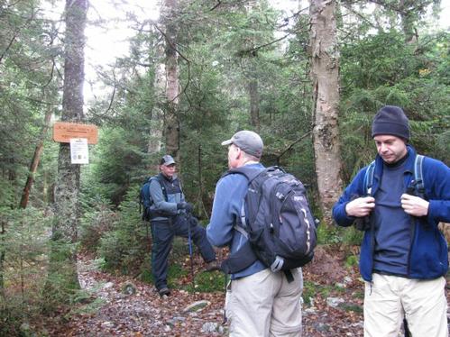
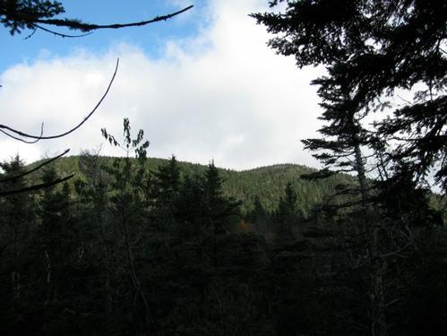
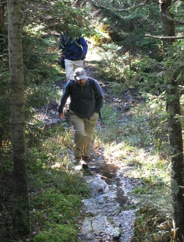
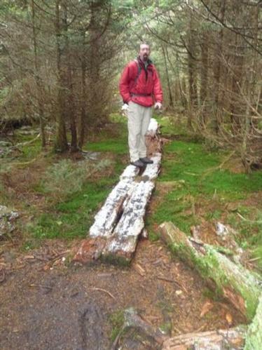
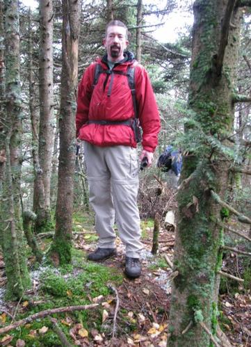
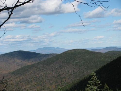
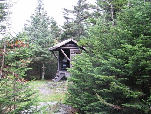
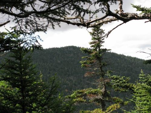
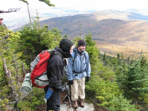
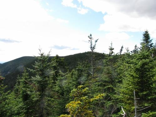
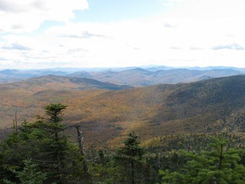
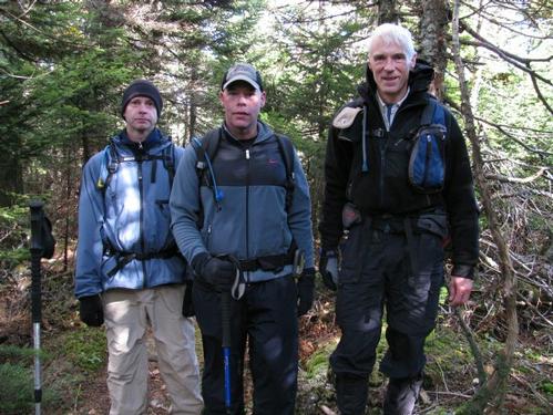
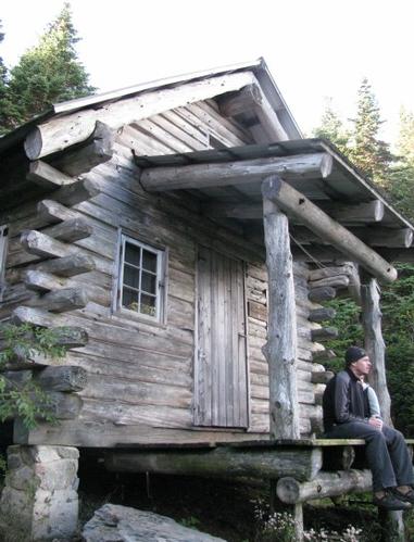
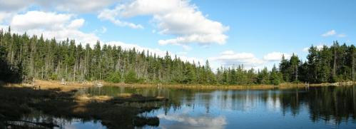
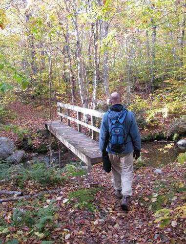
On Sunday, October 11th, five of us (George, Don, Chris, Alex and myself) met up at the Skylight Trailhead off of Forest Road FS-59 just to the northeast of Ripton, VT. It was mostly overcast when we were meeting up. Just as we were about to start up the trail at around 9:20AM there was a short period of light rain and sleet. The trail into the Bread Loaf Wilderness started out very gradually heading straight for about the first mile or so...crossing a few small brooks along the way. Thereafter the rest of the way up to the ridge was via a series of switchbacks. We reached the junction with the Long Trail at about 11AM. After a short break here, we proceeded north towards Mt. Bread Loaf. The trail dips into a col before ascending the peak...steeply in short stretches. Also as we were ascending Bread Loaf, we encountered a brief amount of snow in the air. There were also small patches of snow on the ground, but nothing significant. Near the top of Mt. Bread Loaf there was a short spur trail to the summit, which is unmarked, but an obvious height of land. I did have the coordinates loaded into my GPS, so that I'd know that we actually were on the summits. As one source said about Mt. Bread Loaf and Wilson...“Neither peak stands out, there are no signs announcing your arrival, no markers and if you were hiking the long trail without a map you would never even know you crossed them.” The summit had no views and after a short time we continued along the Long Trail northward. The trail descends somewhat steeply on the northeastern side of the peak and travels along a ridge with only a brief glimpse of Mt. Wilson. In the col between the two summits was the Emily Proctor Shelter. We reached this a little before 1PM and had lunch. After lunch four of us set out for the final trek up to Mt. Wilson (Chris stayed at the shelter for a little R&R). We very quickly reached the summit of Wilson...at least according to the GPS. This is probably the most non-descript peak I've ever seen. You definitely would not realize you had crossed it. Just beyond this we saw a more prominent peak and continued to check it out. This peak had a more obvious summit and according to the GPS coordinates (44.00644N, -72.92200W) it turned out to be a minor peak of Mt. Wilson. Unlike Mt. Wilson proper it had a granite summit with a ledge just off the peak with views eastward. We stayed here to take in the views for a bit and then returned to the shelter. From here we backtracked along the Long Trail...back over Mt. Bread Loaf and to the junction with the Skylight Trail. Everyone was pretty tired, so they started back down, while I checked out the Skylight Pond and Lodge that was along a short spur from this junction. Here there were beautiful views of the pond from just below the lodge. I checked this out for just a little while before heading back to catch up with the rest of the group. We made it back down to the trailhead at roughly 5PM. We headed back to our respective camp and cabin to clean up, while Alex left us for home. Later we got back together for dinner in Brandon, VT for dinner at Patricia's Restaurant. When I returned to the campground, I found Marcus squatting at my campsite, as he was joining us for the hike the following day on Snake Mtn. We caught up a bit and then turned in for the night.
Although cold with varied weather along the ridge, it was a nice day out...albeit without significant views. Thanks to George, Chris, Don and Alex for joining me on this hike. It was my 84th and 85th peaks of the New England Hundred Highest.
Event photos (20)
Reactions
Log in to react to this trip report.
About this event
Join me for this 8.8 mile out-and-back hike to summit Mts. Bread Loaf and Wilson. Although not the most spectacular hike for views, since the summits are wooded, there are outlooks from numerous crags. These offer views into the Champlain Valley, Taconics, the distant NY peaks and the Middlebury Gap. Also along the way there is a short trail extension to view the picturesque Skylight Pond and Skyline Lodge, a log cabin serving as a shelter for Long Trail/AT hikers. We'll be taking the Skyline Pond Trail to the Long Trail and return by the same route. There is a short steep scramble up to Bread Loaf Mountain. Total elevation gain is 2385'.
Trailhead: The trailhead is on Forest Road 59, which runs north from VT Rt. 125, 0.3 mile west of the Breadloaf Campus of Middlebury College and less than 3 miles east of Ripton. Follow this gravel road 3.6 miles to trailhead parking at Steam Mill Clearing. NOTE: There are 2 FR 59 turns use the furthest east which is labeled Steam Mill Road. From there the trailhead is ~4 miles at a sharp left turn in the road and is well marked with Forest Service signs.
What to Bring: Typical fall hiking gear should be appropriate: shorts or convertible hiking pants, good sturdy hiking boots with thick socks and a windbreaker/raingear (just in case). Also bring along lunch, snacks and plenty of water. Optionally, pack bug repellent and sunscreen and anything else that you may require.
Afterwards: We should be completed with the hike by 5-6PM. If there is sufficient interest, we'll cap the day off with dinner/drinks in the area afterwards.
NOTE: Contact me, if you're interested in camping on Friday/Saturday/Sunday, as I will be staying at Branbury State Park (http://www.vtstateparks.com/index.cfm). I will be happy to try and coordinate. This may be handy if you're also planning on doing Moosalamoo and Snake Mtn hikes with me over the Columbus Day Weekend.



Comments
No comments yet.
Log in to join the conversation.