
Mount Sunapee Hike
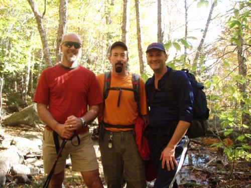
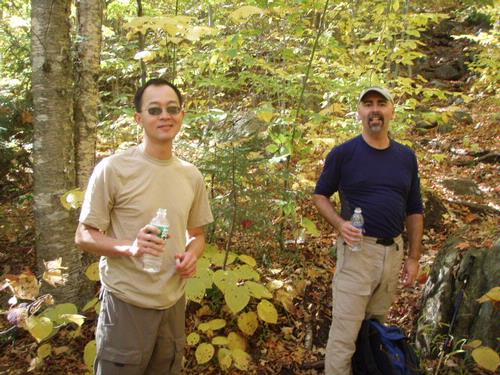
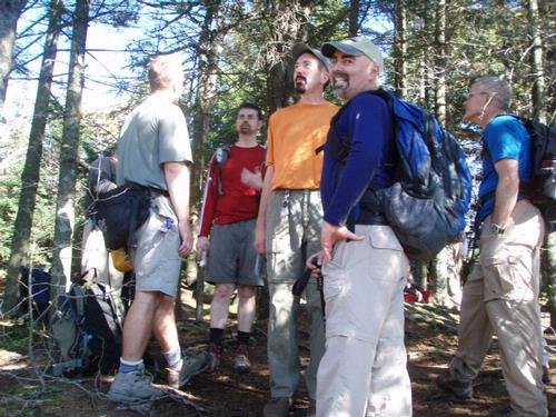
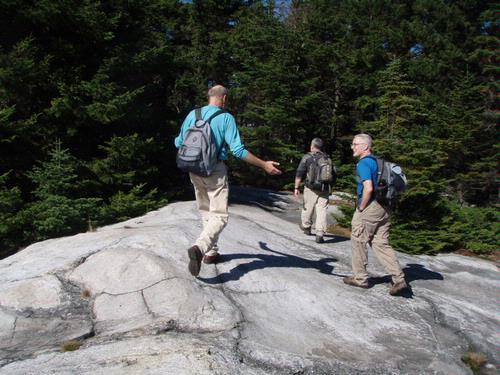
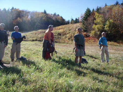
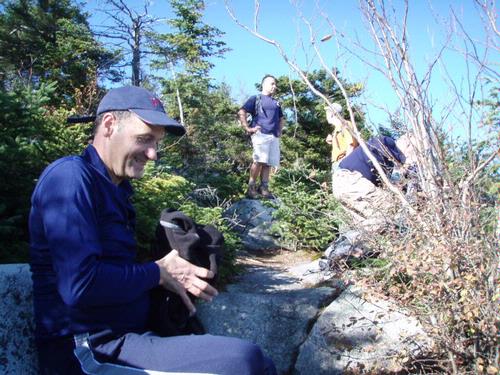
Mike, Jon, Rick, Rich, Stephen, Carlos, Ram, Tedd, Jim, James, Doug and Anthony hiked up Mt. Sunapee (2,726') last Saturday.
The trip report
Mike, Jon, Rick, Rich, Stephen, Carlos, Ram, Tedd, Jim, James, Doug and Anthony hiked up Mt. Sunapee (2,726') last Saturday.
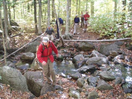
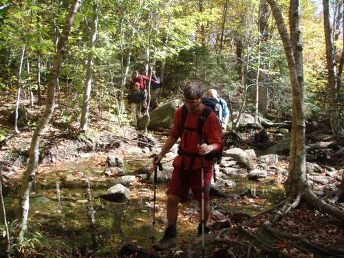
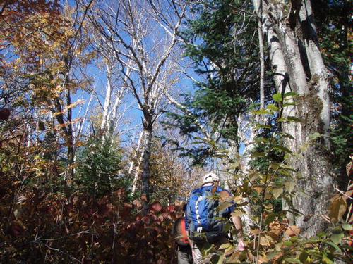
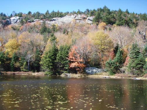
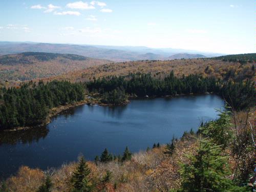
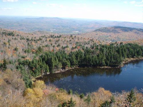
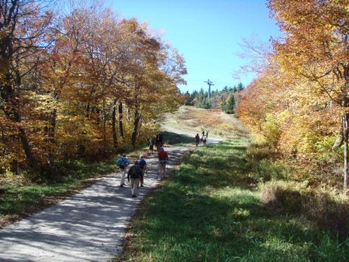
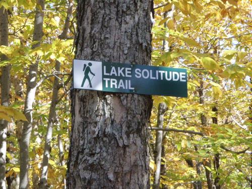
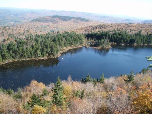
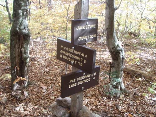
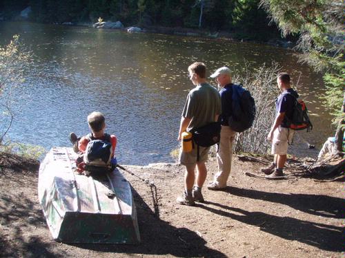
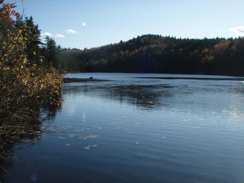
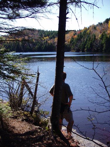
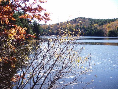
We went up the Andrew Brook Trail - it went to Lake Solitude. We hung out at the lake for awhile to soak up the views.  
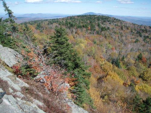
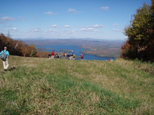
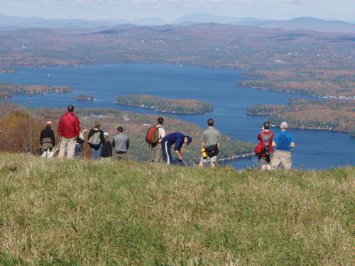
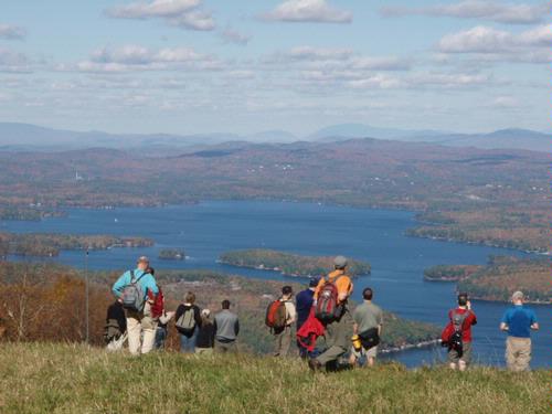
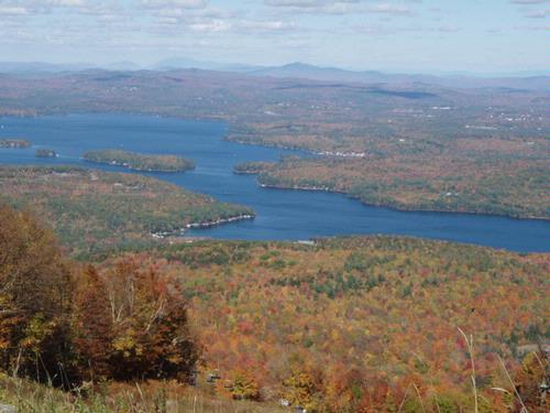
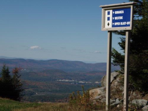
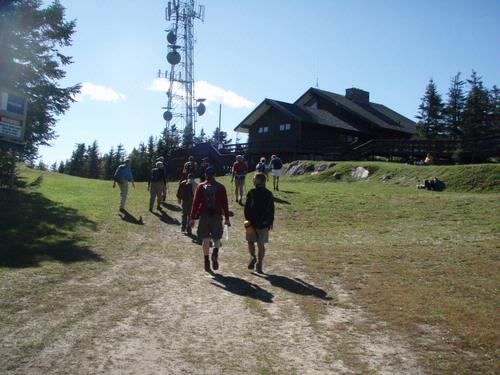
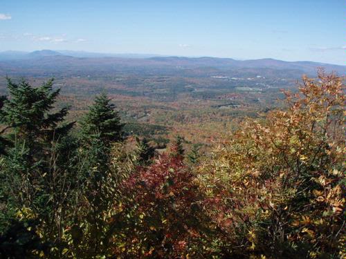
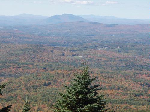
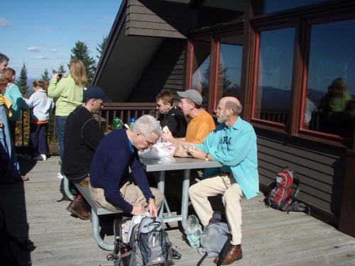
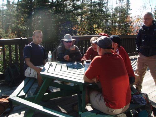
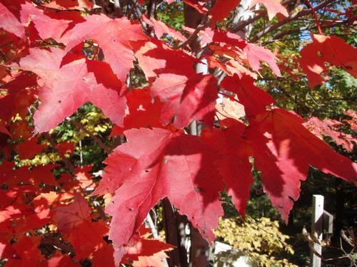
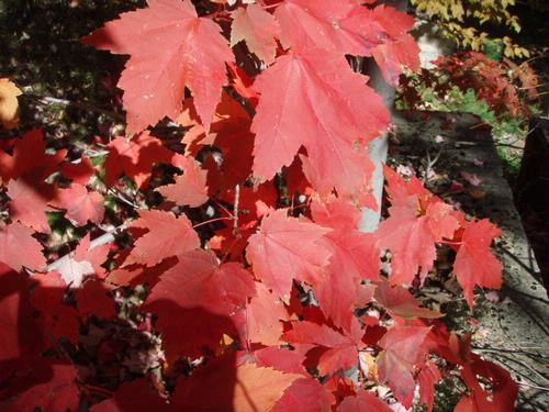
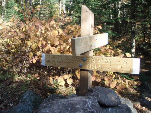
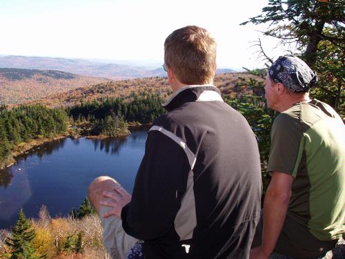
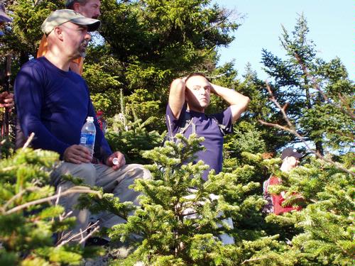
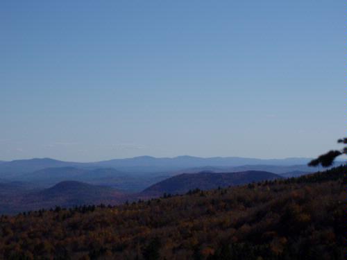
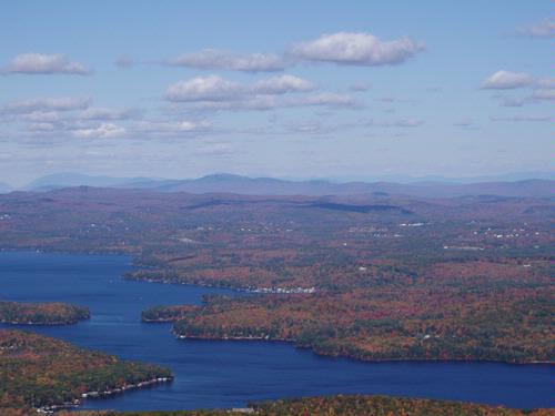
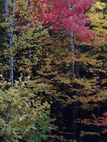
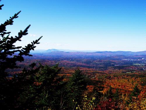
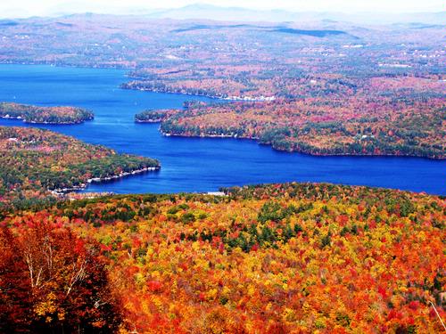
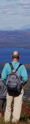
We then pushed on to the summit because White Ledge was too crowded. The highlight from the top was the great view of the lake with the fall foliage and this distant view of Mt. Moosilauke and Franconia Notch. We had lunch on a picnic tables on the deck of the summit lodge. 
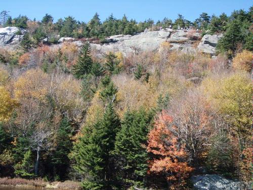
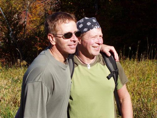
We then came back down and soaked up the sun at White Ledge above Lake Solitude before heading down for good. It was about a 7 mile round trip hike and took about 5 hours, including all break time, which was about 2 hours worth, so this hike was extremely easy. Here are some pictures.
Event photos (51)


Reactions
Log in to react to this trip report.
About this event
Newbury, NH is about 2 hours from Boston (100 miles) so carpooling is strongly recommended.
This will be a moderate hike for about 5 hours. Dress in layers, bring lunch, plenty of water and a wool hat/gloves isn't a bad idea.
Rain will cancel.
About Mount Sunapee: Round trip distance is 7.25 miles with nice views of Lake Sunapee and Vermont mountains. 
For More Information: Check out Mount Sunapee State Park: http://www.nhstateparks.org/state-parks/alphabetical-order/mt-sunapee-state-park
Current Weather: Accuweather: http://www.accuweather.com/us/nh/newbury/03255/city-weather-forecast.asp?partner=accuweather&u=1&traveler=0
Carpooling Directions: We will carpool from a Park 'N Ride from I-93, Exit 12 in Bow, NH. Park 'N Ride Info: http://www.nh.gov/dot/nhrideshare/p18.htm. We will meet there for 10:30AM.
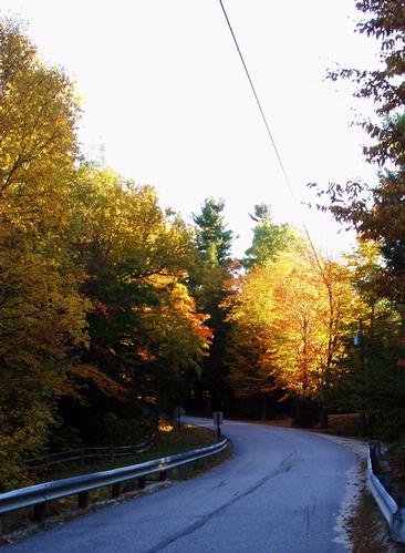
Trailhead Directions: The road to the Andrew Brook Trail leaves NH 103 about 1 mile south of Newbury and the southern end of Lake Sunapee. On the USGS map it has the engaging name of Between the Mountains Road. It's commonly called just the Moutain Road. Signs so designate it on both sides of NH 103. The asphalt ribbon winds up the westward 1.2 miles to the start of the Andrew Brook Trail on the right. There's no sign, but you can identify the trail by an opening in the woods just before a bridge over the brook. A wide road shoulder accommodates several cars on the same side as the trail.
Who came along (7)
 SUSTAINING
  SUSTAINING
  SUSTAINING
  GUEST MEMBER
  SUSTAINING
  GUEST MEMBER
  GUEST MEMBER
Comments
No comments yet.
Log in to join the conversation.