Hike up Blue Job Mtn, and some 4x4 roads
Loop hike to the fire tower on Blue Job Mtn, plus a drive on a couple of sketchy 4x4 roads after.
The trip report
Blue Job! Now that is an interesting name for a mountain! LOL Someone with a dirty mind could have fun with that one, but my mind is as pure as New York snow! LOL :)
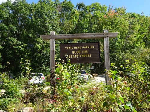
Blue Job Mtn is located in Farmington off of First Crown Point Rd. I drove there from Meredith, and if I had relied on Google to direct me there, she would've led me to a road that I don't think even exists! Luckily I looked at my NH/VT road atlas and the road she told me to go on wasn't there! I wrote down my own directions and had no problem finding the trailhead.
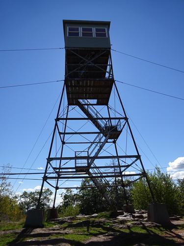
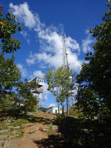
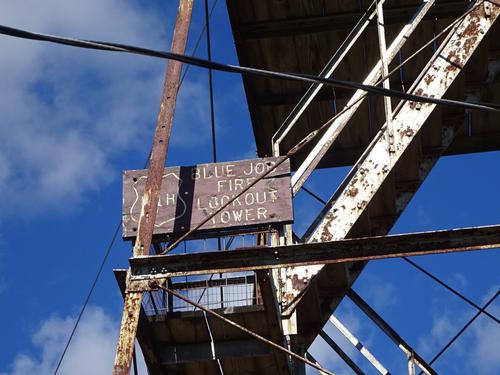
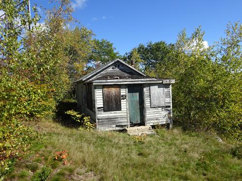
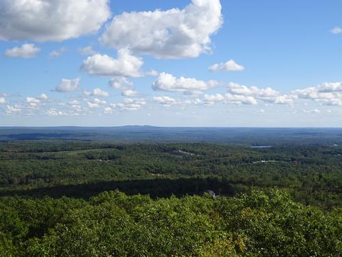
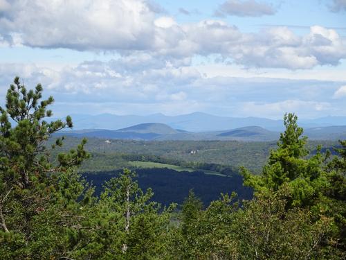
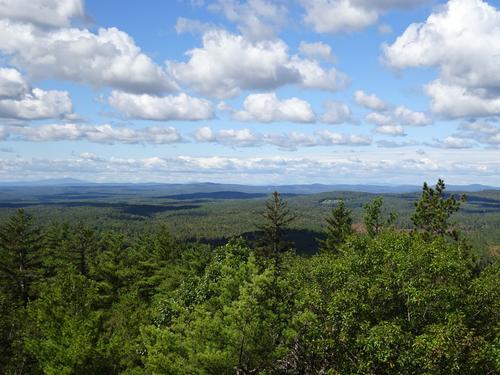
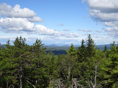
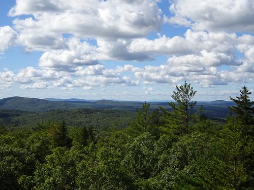
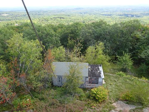
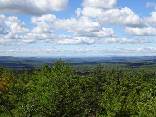
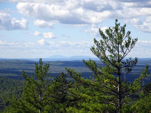
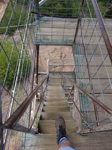
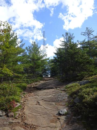
The elevation of Blue Job is 1,357 feet. There is a fire tower at the summit, and I think it is an active tower.
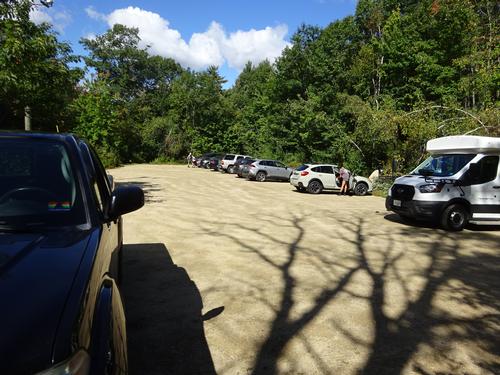
I arrived to an almost full parking lot, which surprised me.
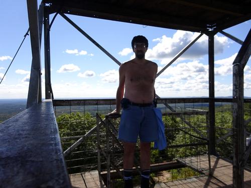
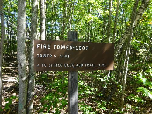
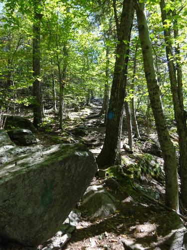
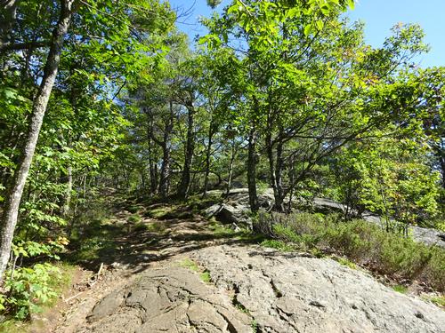
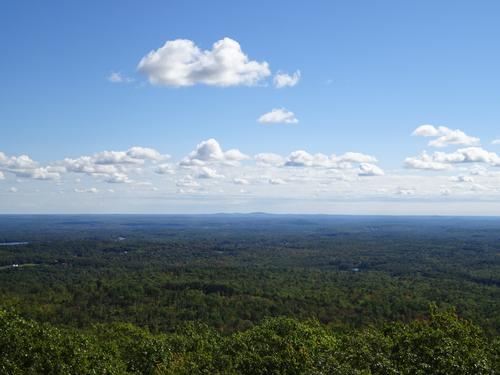
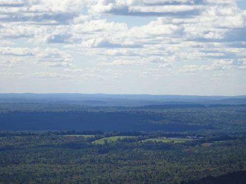
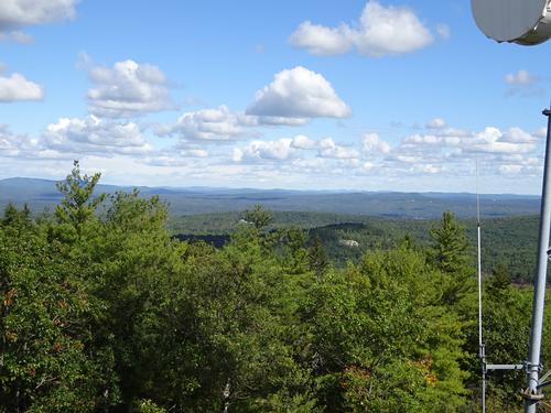
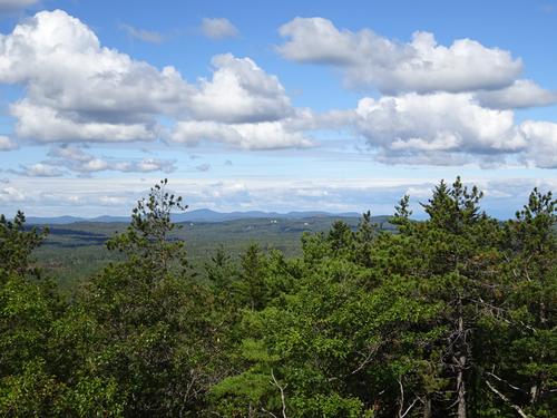
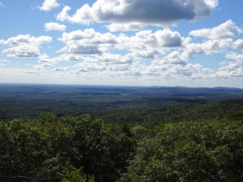
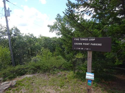
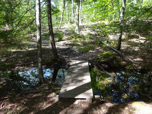
I did the loop counter clockwise, going up 1/2 mile to the summit and fire tower. It is steady uphill, but not really difficult, although the trail is eroded from heavy use. I met one large group coming down this trail. It took me 15 min. to hike up to the top. I spent just over 30 min. at the top before heading down 0.7 miles, which took 15 min.
Total hike was just over 1 hour. 1.2 miles total. Elevation gain was a mind-boggling 350 feet! LOL Except for the large group coming down, I didn't meet a whole lot of other people on this hike. I thought that was odd considering how many vehicles were in the parking lot, including a small bus.
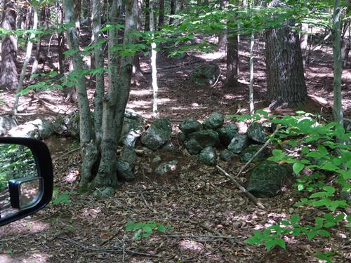
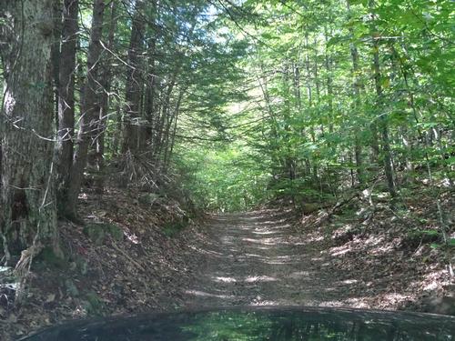
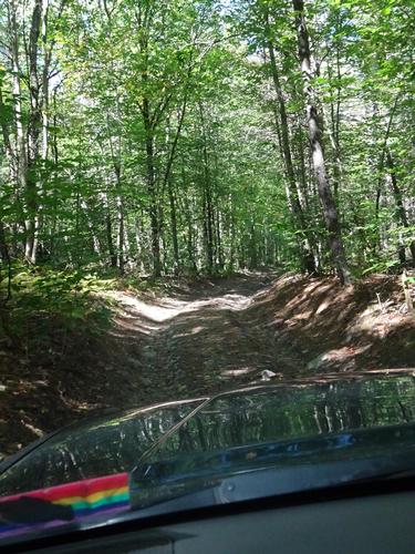
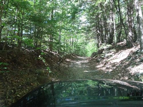
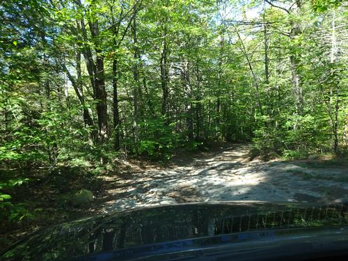
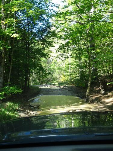
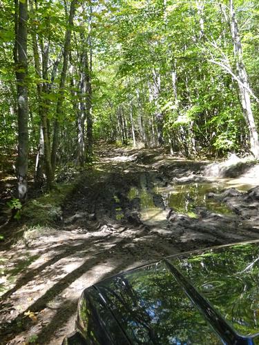
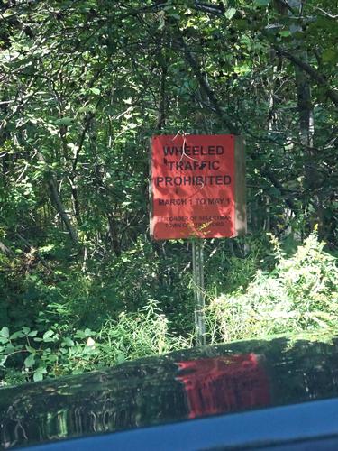
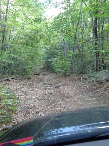
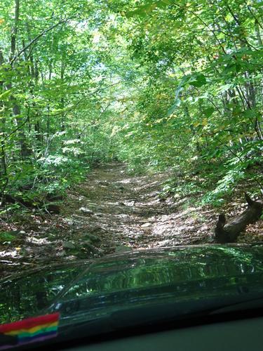
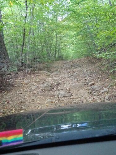
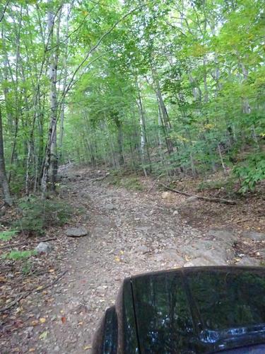
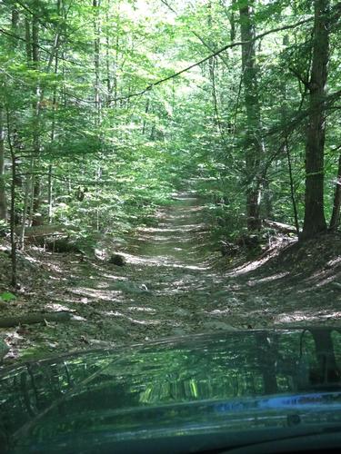
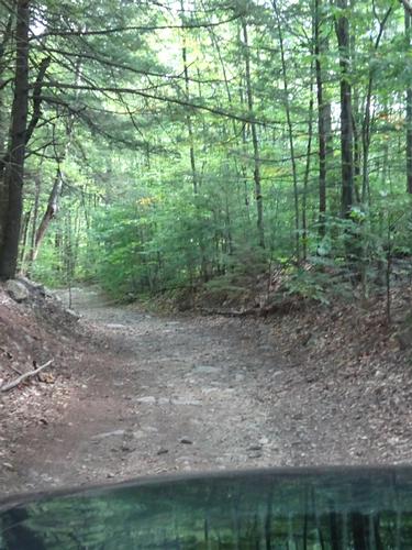
After the hike I decided to check out a couple of nearby unimproved / undefined roads that were shown on the map. I wanted to explore my redneck side. :) LOL Both was shown as through "roads", but I had no idea of the condition. The first road was just a short distance beyond the Blue Job parking lot. It was sketchy for sure and I used 4WD to be safe. After a short distance I came upon a mud hole. I could see some went through and that others turned around. Not knowing what was beyond, I decided to turn around.
The second road was at the end of Second Crown Point Rd. It was sketchy as well and I used 4WD to be safe. I made it a little further than on the first road, but eventually came to a fork with a severely washed out hill on one fork and a mud hole on the other. No way I'd make it on either road with my truck, so I turned around and headed back to Rt. 202A.
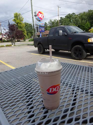
I headed back to Meredith, stopping at Dairy Queen in Laconia along the way. Gotta have a chocolate milkshake. :) LOL
Event photos (47)