
Presidental Traverse
Presidential Traverse
Details
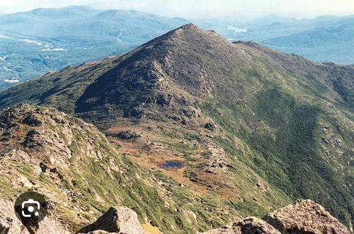
This hike is about 20 miles long with an elevation gain of 8000 ft. We will hike up the Valley Way to the hut, tag Madison, and then continue over Mt. Adams, Jefferson, Clay, Washington, Monroe, Eisenhower, & Pierce before heading down the Crawford Path. Hikers can stay at my house near Franconia NH before & after the hike if desired.
Directions
Appalachia Parking Lot on Rt 2.
About this event
This hike is about 20 miles long with an elevation gain of 8000 ft. We will hike up the Valley Way to the hut, tag Madison, and then continue over Mt. Adams, Jefferson, Clay, Washington, Monroe, Eisenhower, & Pierce before heading down the Crawford Path. Hikers can stay at my house near Franconia NH before & after the hike if desired.
Directions to the trailhead
Get directions Opens turn-by-turn directions to Randolph, NH, 03586 in Google Maps (new tab).
Appalachia Parking Lot on Rt 2.
Who's going (2)


Questions about this event?
Reach out to the host, Bobcat, for route details, carpooling, or what to bring.
Email the hostYou can also ask in the event discussion below.
Event discussion
No comments yet.
Log in to join the conversation.