
Mt. Osceola Hike
<p> A moderate ascent to one of NH's scenic Fourth Thousand Footers.</p>
Mt. Osceola Hike
<p> A moderate ascent to one of NH's scenic Fourth Thousand Footers.</p>
Details
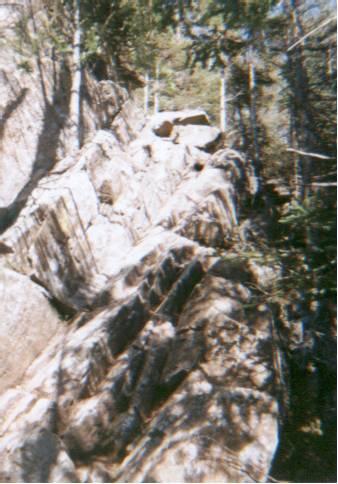
Although most of this hike is in the woods, the summit of Mt. Osceola opens up into some fairly scenic open ledges, overlooking Waterville Valley. We will start hiking at 2,280 feet at the trailhead parking lot on Tripoli Road and end at 4,340 feet at the summit, for a grand total ascent of 2,060 feet. It is a moderate ascent for most of the way, however, and should be do-able if you are in decent shape. It is 3 miles to the top, and 3 miles back down, for a total of 6 miles. Bring snacks/food, water, and good weatherproof gear. Also, please note that blackfly season is upon us, so if you don't want to be miserable bring insect repellent. Rain will cancel this event, threat of rain will not.
Directions
We will meet at the trailhead parking lot on Tripoli Road. The best way to get there is to take exit 31 (Tripoli Road) from I-93 and go east 7 miles to just west of the height-of-land at Thornton Gap. The hiker's parking area will be on your left. If it's full, you can park on the side of Tripoli Road. Please note that Tripoli Road is not paved for most of the way. If it's more convenient, you can also access Tripoli Road from the Waterville Valley Ski Resort. If you are heading east on Rt. 49, turn left right before you enter the village, where the sign directs you to the ski area. In about a mile, bear right at the fork on the road, pass a gate (it should be open then), at the next fork, bear left, and continue a couple of miles on Tripoli Road to the trailhead parking area described above. I drive a silver RAV4
About this event
Although most of this hike is in the woods, the summit of Mt. Osceola opens up into some fairly scenic open ledges, overlooking Waterville Valley. We will start hiking at 2,280 feet at the trailhead parking lot on Tripoli Road and end at 4,340 feet at the summit, for a grand total ascent of 2,060 feet. It is a moderate ascent for most of the way, however, and should be do-able if you are in decent shape. It is 3 miles to the top, and 3 miles back down, for a total of 6 miles. Bring snacks/food, water, and good weatherproof gear. Also, please note that blackfly season is upon us, so if you don't want to be miserable bring insect repellent. Rain will cancel this event, threat of rain will not.
Directions to the trailhead
Get directionsWe will meet at the trailhead parking lot on Tripoli Road. The best way to get there is to take exit 31 (Tripoli Road) from I-93 and go east 7 miles to just west of the height-of-land at Thornton Gap. The hiker's parking area will be on your left. If it's full, you can park on the side of Tripoli Road. Please note that Tripoli Road is not paved for most of the way. If it's more convenient, you can also access Tripoli Road from the Waterville Valley Ski Resort. If you are heading east on Rt. 49, turn left right before you enter the village, where the sign directs you to the ski area. In about a mile, bear right at the fork on the road, pass a gate (it should be open then), at the next fork, bear left, and continue a couple of miles on Tripoli Road to the trailhead parking area described above. I drive a silver RAV4
Who's going (6)
 SUSTAINING
 GUEST MEMBER
 GUEST MEMBER
 SUSTAINING
 GUEST MEMBER
Questions about this event?
Reach out to the host, JPHiker, for route details, carpooling, or what to bring.
Email the hostYou can also ask in the event discussion below.
Event discussion
No comments yet.
Log in to join the conversation.